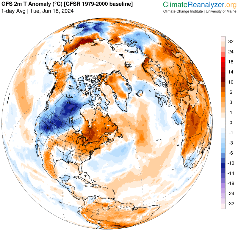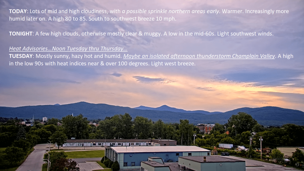
Heat Advisory thru 8 PM Thursday…
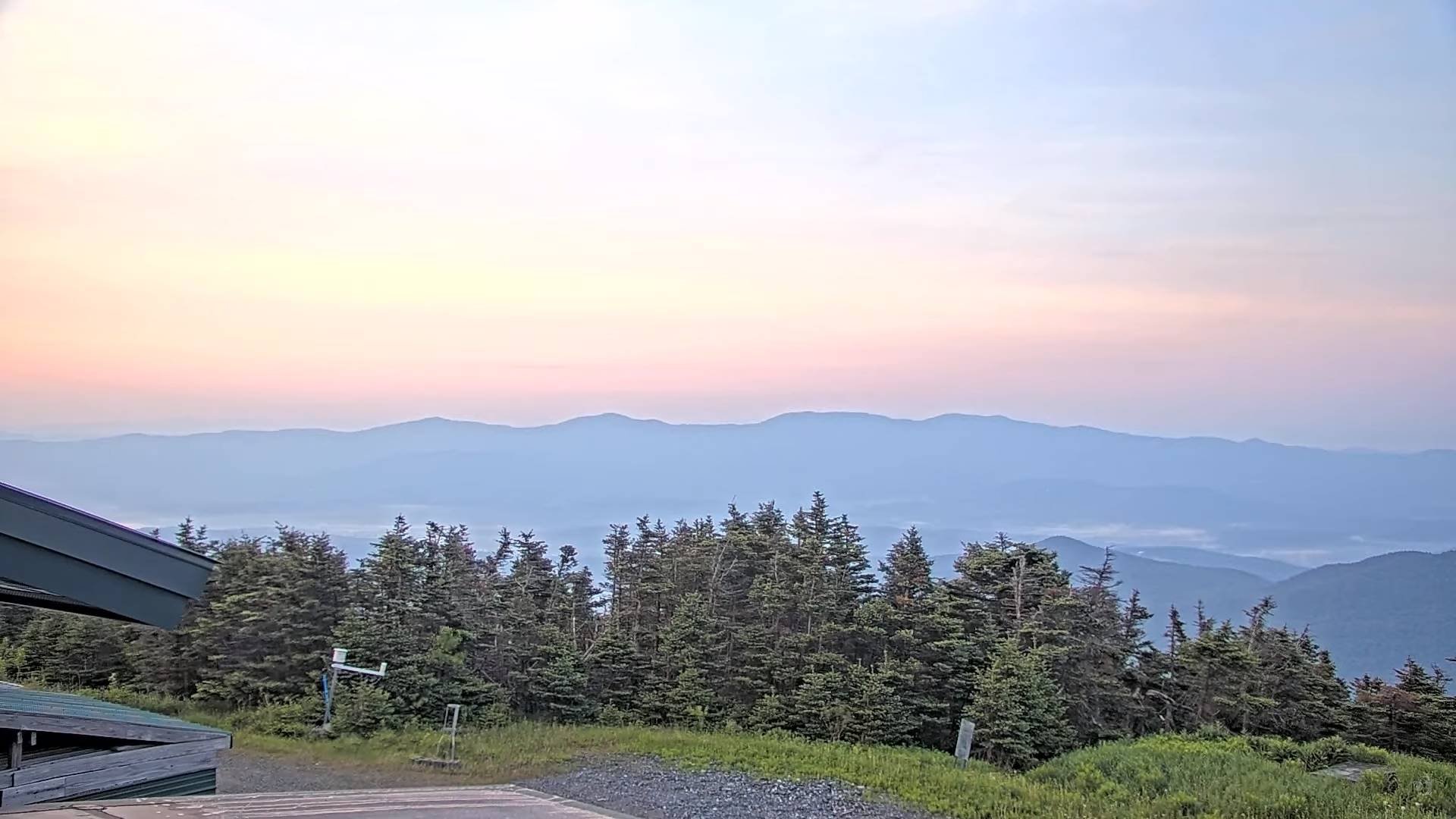
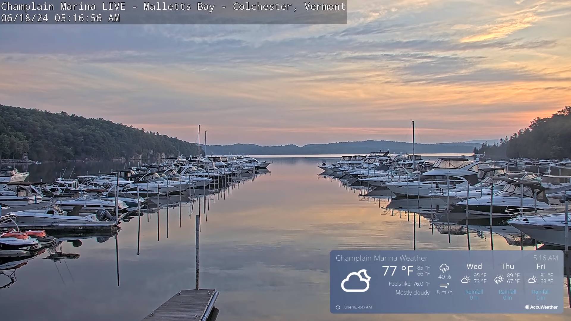
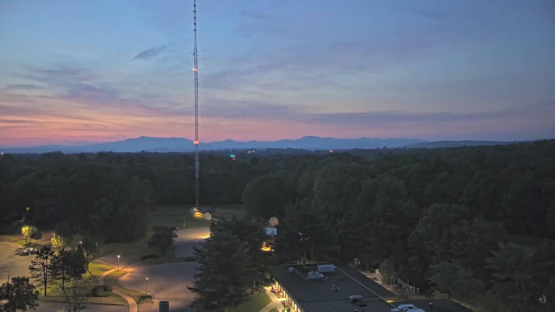
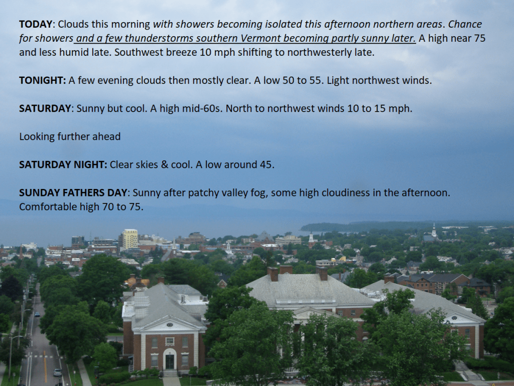
TONIGHT: Some high cloudiness, otherwise mostly clear warm and sticky. A low mid to upper 60s & around 70 to 75 Champlain Valley. Light south to southwest winds.
TOMORROW: Sunshine with more afternoon clouds, hazy hot and very oppressive. Widely scattered pop-up afternoon thunderstorms northern ½ of the state. Some storms briefly strong. A high near 95, with heat indices near 100 degrees. Light southwest breeze.
WEDNESDAY NIGHT: Mostly clear & partially moonlit. Sultry. Chance for an isolated overnight thunderstorm northern areas. A low around 70. Light southwest winds.

Summer Solstice 4:51 PM Thursday June 20th
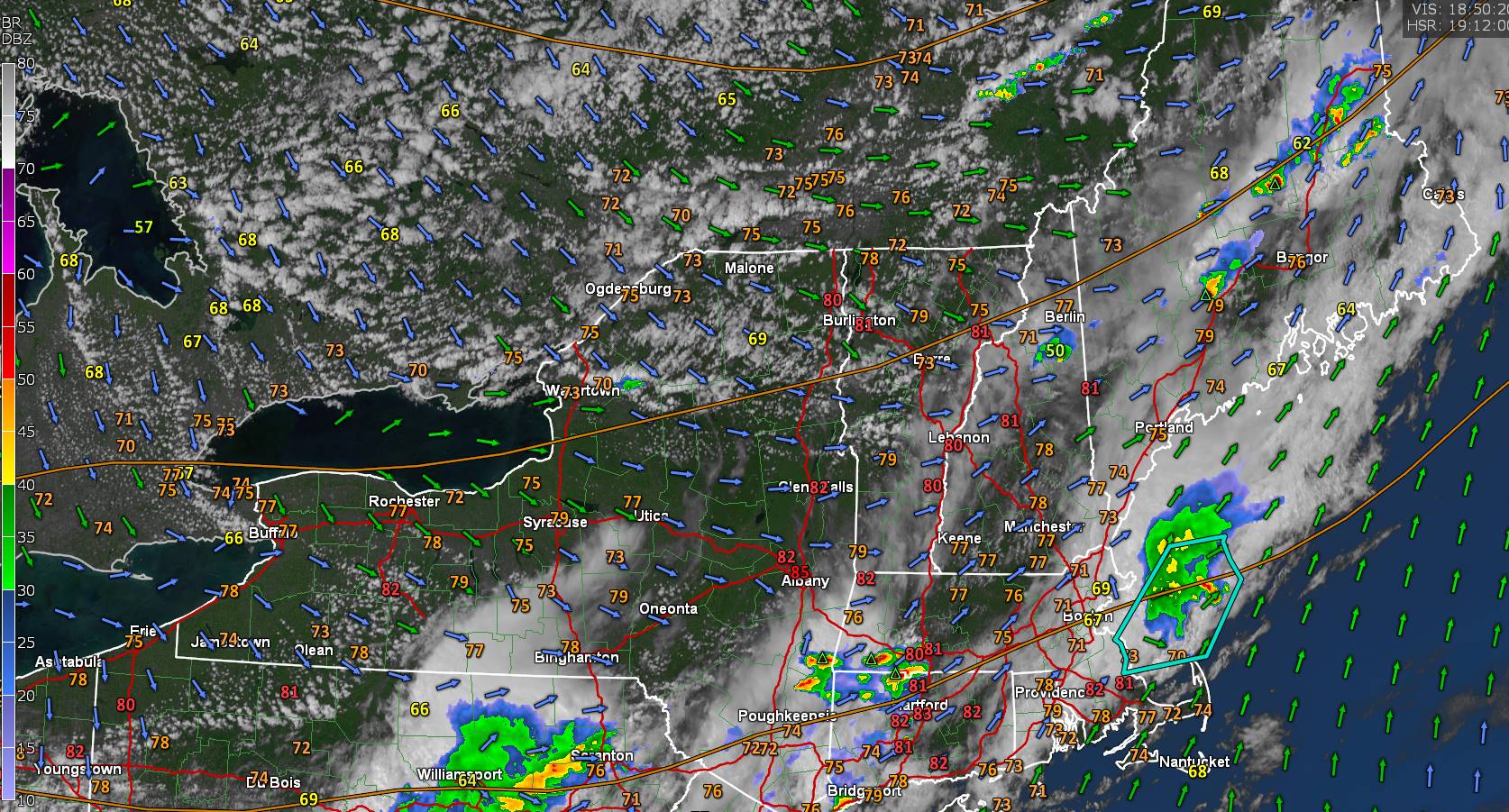
THURSDAY: Mostly sunny then mostly cloudy. Good chance for showers & possibly strong to locally severe thunderstorms with heavy downpours. A high 90 to 95. Heat indices around 100 degrees. West to southwest breeze 10 mph.
Looking further ahead

THURSDAY NIGHT: Partly to mostly cloudy. Scattered evening showers and thunderstorms becoming isolated overnight. A low 65 to 70.
Full Strawberry Moon 9:08 PM Friday evening
FRIDAY: Mostly cloudy, not as hot, but still sticky. Good chance for morning showers and thunderstorms lingering into the afternoon southern areas. Some partial late afternoon sun north. A high upper 70s near 80.
SATURDAY: Considerable cloudiness cooler, and refreshingly less humid. Chance for showers late western areas. A low mid-50s. A high upper 70s.

SUNDAY: More clouds than sun. Scattered showers & possible afternoon thunder. A low around 60. A high near 80.
Average lows in the low to mid 50s. Average high mid to upper 70s

RH/6-17forecast][end]