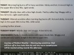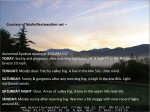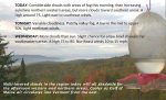
TONIGHT: Mostly clear with a few high clouds. Patchy valley fog. Muggy with a low 60 to 65. Light south winds.
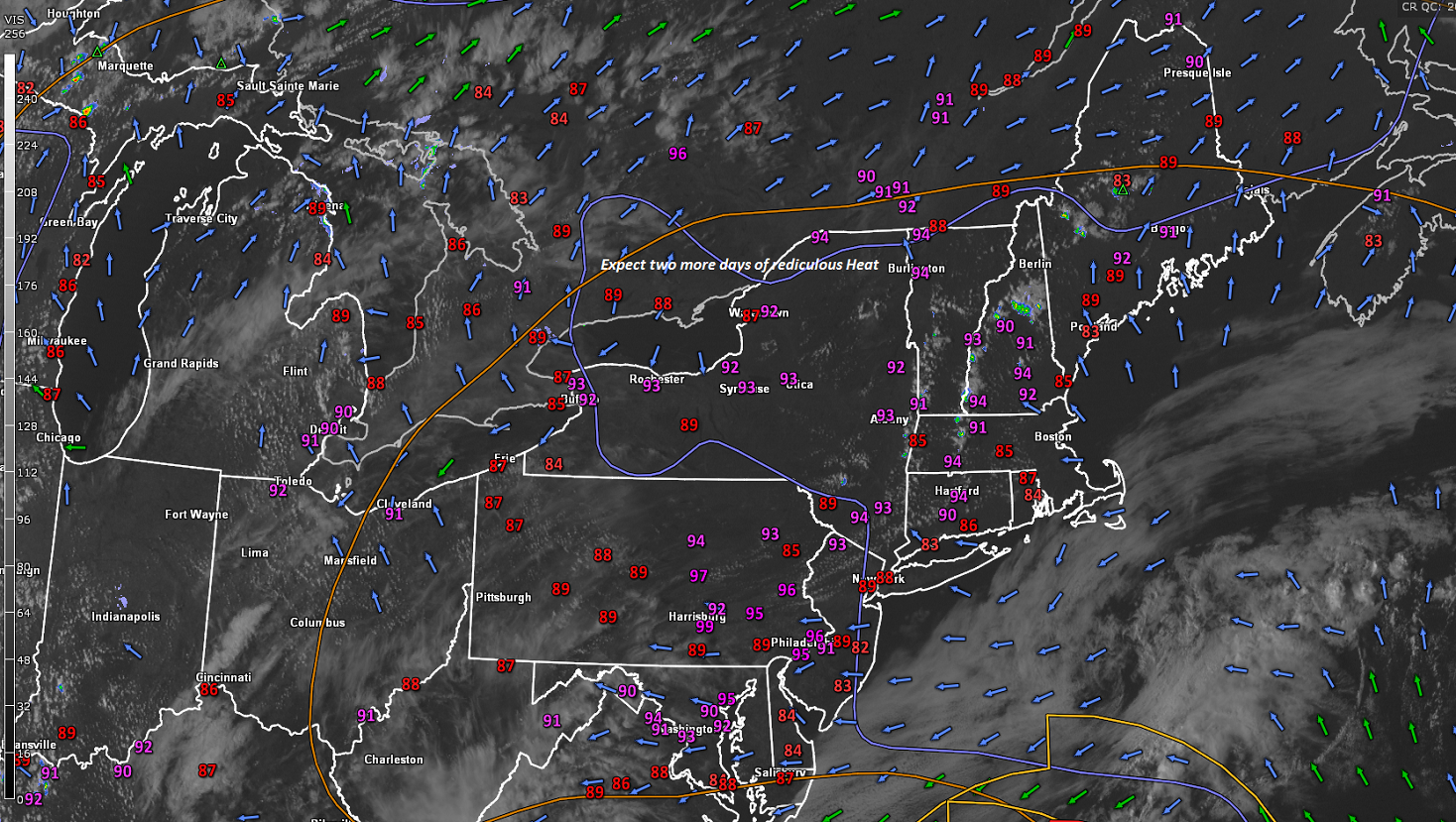
TOMORROW: Filtered sunshine after morning fog burns off. Hot and sticky. A record high in the upper 80s to low 90s. Little wind.
TUESDAY NIGHT: Mostly clear and muggy. A low 60 to 65. Little wind.
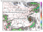
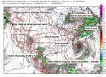
WEDNESDAY: Mostly sunny with more clouds late in the day. Maybe an isolated late afternoon shower or thundershower. Muggy and continued very warm becoming breezy. A high in the mid 80s. Southwest winds 10 to 20 mph.
Looking further ahead…
WEDNESDAY NIGHT: Widely scattered showers and thunderstorms. A low in the 50s.
THURSDAY: Isolated leftover mountain showers in the morning, Otherwise mixed clouds and sun. Breezy, much cooler and less humid.A high in the low 60s.
FRIDAY: Mostly sunny. A low 40 to 45. A high 55 to 60.
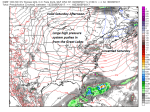
SATURDAY: Sunshine mixed with cloudy periods. Slight chance for a few showers. A low around 40. A high near 60.
SUNDAY: Mostly sunny after morning fog. A low 35 to 40. Isolated frost possible Northeast Kingdom. A high in the mid 60s.
Average low mid to upper 40s. Normal highs mid to upper 60s
RH/9-25 [end]
| Virus-free. www.avast.com |