Thunderstorm late afternoon – Worcester Vermont Davis Instruments displayed through Weather Display. Almost 20 degrees drop in about 8 minutes with gust front, heavy rain though brief, about 0.40″ in 8 minutes yesterday afternoon around 4 PM.

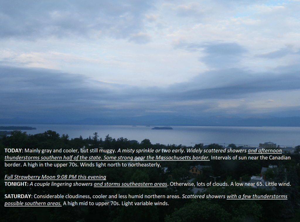
TODAY: Mainly gray and cooler, but still muggy. A misty sprinkle or two early. Widely scattered showers and afternoon thunderstorms southern half of the state. Some strong near the Massachusetts border. Intervals of sun near the Canadian border. A high in the upper 70s. Winds light north to northeasterly.
Full Strawberry Moon 9:08 PM this evening
TONIGHT: A couple lingering showers and storms southeastern areas. Otherwise, lots of clouds. A low near 65. Little wind.
SATURDAY: Considerable cloudiness, cooler and less humid northern areas. Scattered showers with a few thunderstorms possible southern areas. A high mid to upper 70s. Light variable winds.
Looking further ahead
SATURDAY NIGHT: Considerable clouds. Chance for showers, maybe an overnight thunderstorm. A low in the mid to upper 60s
SUNDAY: More clouds than sun. Scattered showers & afternoon thunderstorms, some strong to locally severe. A high in the low 80s.

MONDAY: Partly sunny. Scattered showers and afternoon thunderstorms, some strong to locally severe. A low 65 to 70. A high near 80.
TUESDAY: Threat for a morning shower exiting, then periods of sunshine. A low upper 50s. A high in the mid-70s.
Average lows in the low to mid 50s. Average high mid to upper 70s
RH/6-21forecast][end]
Summer Solstice 4:51 PM Heat Advisory and Severe thunderstorm Watch thru 8 PM
TONIGHT: Partly to mostly cloudy. Scattered early evening showers and thunderstorms winding down. A low in the mid-60s. Light northwest winds.
Full Strawberry Moon 9:08 PM Friday evening
TOMORROW: Partly to mostly cloudy. Not so hot, still on the muggy side. Showers and thunderstorms becoming likely central and southern areas. Some strong to locally severe. Intervals of sun far north. A high in the upper 70s. Winds light north to northeasterly.
FRIDAY NIGHT: A couple lingering showers and storms eastern areas. Otherwise, lots of clouds. A low near 65. Little wind.
SATURDAY: Considerable cloudiness, cooler and less humid. Chance for showers, & possible thunderstorms. A high mid to upper 70s. Light variable winds.

Looking further ahead
SATURDAY NIGHT: Considerable clouds. Chance for showers, maybe a rumble of thunder. A low in the mid-60s
SUNDAY: More clouds than sun. Scattered showers & afternoon thunderstorms. A high near 85.

MONDAY: Partly sunny. Scattered showers and afternoon thunder. A low 65 to 70. A high near 80.
TUESDAY: Threat for a morning shower or storm, then increasingly sunny. A low upper 50s. A high in the mid-70s.
Average lows in the low to mid 50s. Average high mid to upper 70s
RH/6-20forecast][end]
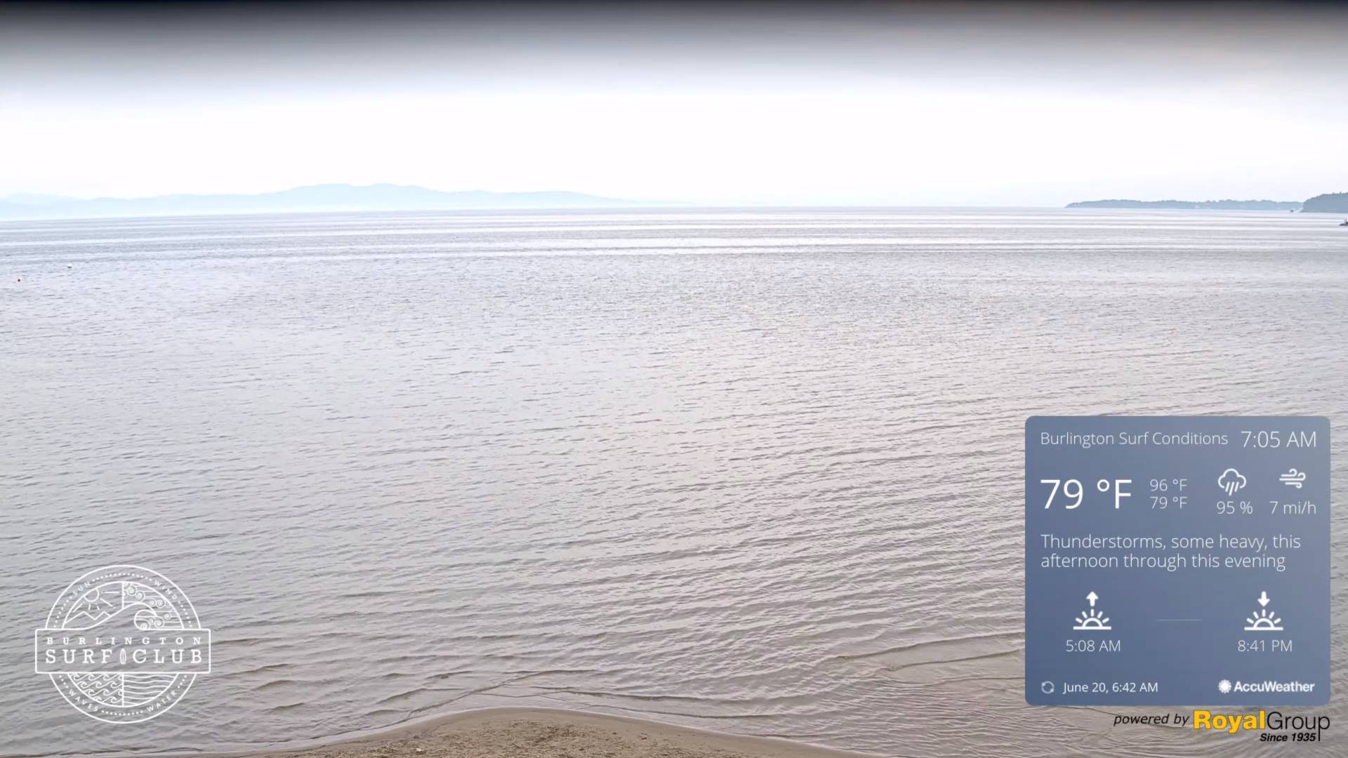
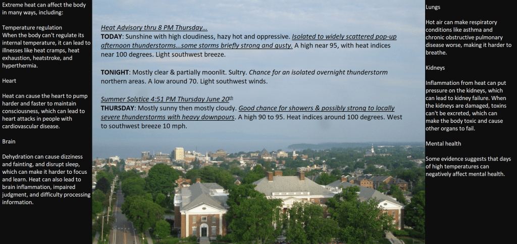
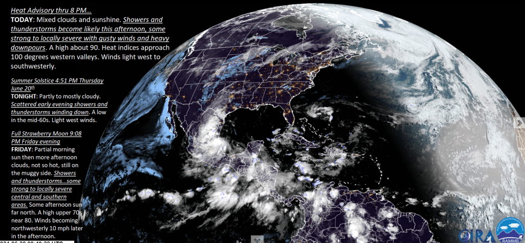
Heat Advisory thru 8 PM…
TODAY: Mixed clouds and sunshine. Showers and thunderstorms become likely this afternoon, some strong to locally severe with gusty winds and heavy downpours. A high about 90. Heat indices approach 100 degrees western valleys. Winds light west to southwesterly.
Summer Solstice 4:51 PM
TONIGHT: Partly to mostly cloudy. Scattered early evening showers and thunderstorms winding down. A low in the mid-60s. Light west winds.
Full Strawberry Moon 9:08 PM Friday evening
FRIDAY: Partial morning sun then more afternoon clouds, not so hot, still on the muggy side. Showers and thunderstorms…some strong to locally severe central and southern areas. Some afternoon sun far north. A high upper 70s near 80. Winds becoming northwesterly 10 mph later in the afternoon.
Looking further ahead

FRIDAY NIGHT: A couple lingering showers and storms eastern areas. Otherwise, lots of clouds. A low near 60.
SATURDAY: Considerable cloudiness, cooler and less humid. Chance for showers, possible thunderstorms. A high in the upper 70s.

SUNDAY: More clouds than sun. Scattered showers & possible afternoon thunder. A low 60 to 65. A high in the mid-80s.
MONDAY: Mixed sun and clouds. Scattered showers and afternoon thunder. A low 65 to 70. A high near 80.
Average lows in the low to mid 50s. Average high mid to upper 70s
RH/6-20forecast][end]
Heat Advisory thru into Thursday evening…
TONIGHT: High cloudiness otherwise fair, moonlit and sticky. A low around 70. Light southwest winds.
TOMORROW: Mixed clouds and sun. Showers and thunderstorms becoming likely in the afternoon, some strong to locally severe with gusty winds and heavy downpours. A high 90 to 95. Heat indices around 100 degrees. Winds light west to southwesterly.
Summer Solstice 4:51 PM Thursday June 20th
THURSDAY NIGHT: Partly to mostly cloudy. Scattered early evening showers and thunderstorms winding down. A low 65 to 70. Light west winds.
Full Strawberry Moon 9:08 PM Friday evening
FRIDAY: Variable cloudiness, not so hot, but still muggy. Showers and thunderstorms…some strong to locally severe southern areas. Partial late afternoon sun north. A high upper 70s. Winds becoming northwesterly 10 mph later in the afternoon.
Looking further ahead

FRIDAY NIGHT: A couple lingering showers and storms eastern areas. Otherwise, lots of clouds. A low upper 50s around 60.
SATURDAY: Considerable cloudiness, cooler and less humid. Chance for showers, possible thunderstorms late western & southern areas. A high mid to upper 70s.
SUNDAY: More clouds than sun. Scattered showers & possible afternoon thunder. A low around 60. A high 80 to 85.
MONDAY: Variable clouds, scattered showers and afternoon thunderstorms. A low 60 to 65. A high near 80.
Average lows in the low to mid 50s. Average high mid to upper 70s
RH/6-17forecast][end]
Heat Advisory thru 8 PM Thursday…
TODAY: Sunshine with high cloudiness, hazy hot and oppressive. Isolated to widely scattered pop-up afternoon thunderstorms…some storms briefly strong and gusty. A high near 95, with heat indices near 100 degrees. Light southwest breeze.
TONIGHT: Mostly clear & partially moonlit. Sultry. Chance for an isolated overnight thunderstorm northern areas. A low around 70. Light southwest winds.
Summer Solstice 4:51 PM Thursday June 20th
THURSDAY: Mostly sunny then mostly cloudy. Good chance for showers & possibly strong to locally severe thunderstorms with heavy downpours. A high 90 to 95. Heat indices around 100 degrees. West to southwest breeze 10 mph.
Looking further ahead
THURSDAY NIGHT: Partly to mostly cloudy. Scattered evening showers and thunderstorms becoming isolated overnight. A low 65 to 70.
Full Strawberry Moon 9:08 PM Friday evening
FRIDAY: Mostly cloudy, not as hot, but still sticky. Good chance for morning showers and thunderstorms lingering into the afternoon southern areas. Some partial late afternoon sun north. A high upper 70s near 80.
SATURDAY: Considerable cloudiness cooler, and refreshingly less humid. Chance for showers late western areas. A low mid-50s. A high upper 70s.
SUNDAY: More clouds than sun. Scattered showers & possible afternoon thunder. A low around 60. A high near 80.
Average lows in the low to mid 50s. Average high mid to upper 70s
RH/6-17forecast][end]