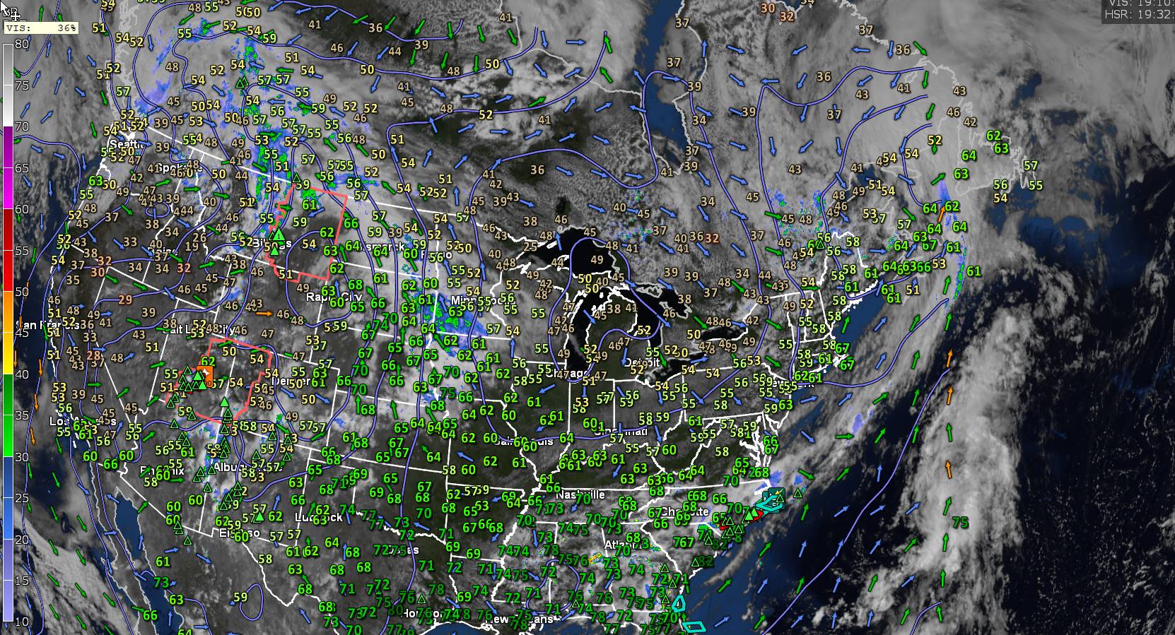
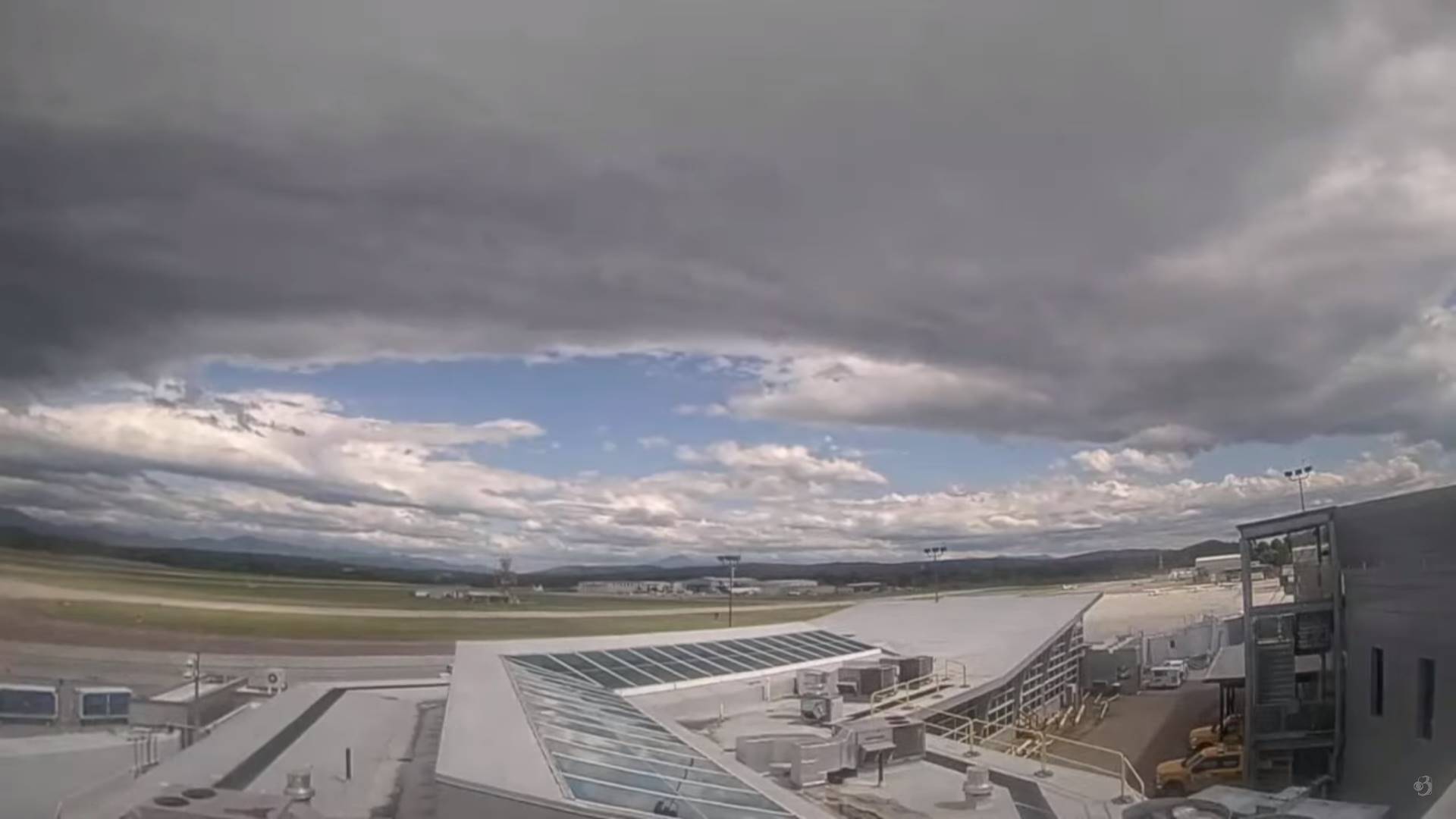
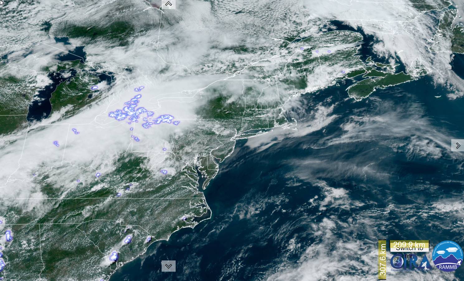
Gorgeous stretch of low to moderate humidity days and dry weather will break Wednesday night with mugginess and some widely scattered showers isolated rumbles of thunder with a nice warming trend.

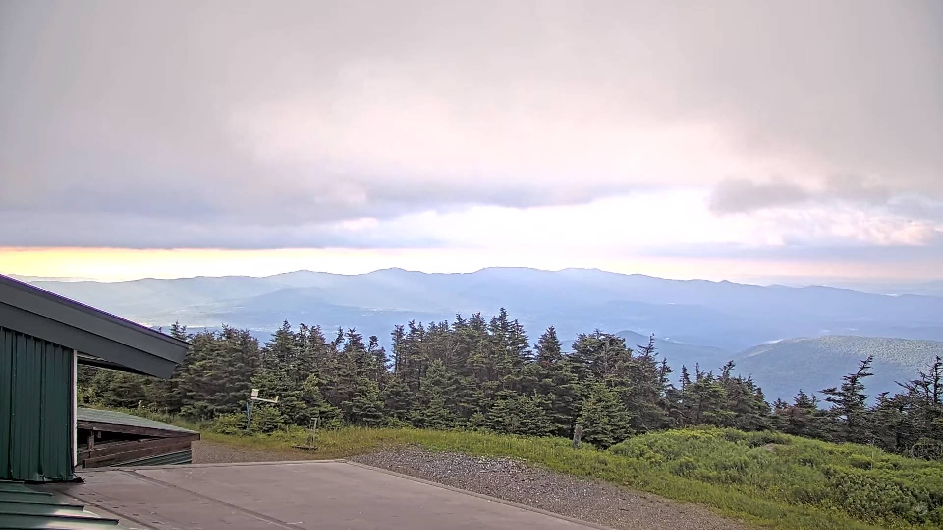
TONIGHT: Increasing & thickening clouds.A low 50 to 55. Southeast winds 10 mph, becoming stronger near the lake overnight.
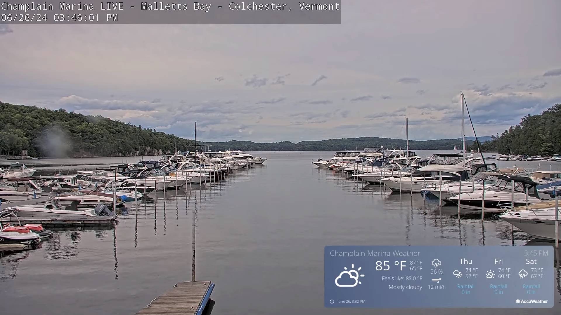
TOMORROW: Gray and gradually more humid. Scattered showers developing western and northern areas, becoming more frequent & heavy at times late in the afternoon. A high in the low 70s. Increasingly humid. South breeze 10 to 20 mph stronger & gusty near Lake Champlain.
SATURDAY NIGHT: Cloudy. Showers and a few embedded heavy thunderstorms likely in the evening…tapering to a few showers by daybreak. A low in the mid-60s. South to southwest breeze 10 to 15 mph.
SUNDAY: Morning clouds, then partly sunny. Widely scattered showers and strong to possibly severe thunderstorms northern areas. Muggy. A high about 80. Southwest winds becoming northwesterly 10 to 20 mph
Looking further ahead

SUNDAY NIGHT: Scattered evening showers and thunderstormsgives way to clearing skies. A low 55 to 60.
MONDAY: Partly to mostly sunny. A high in the low 70s.
TUESDAY: Mostly sunny & a beauty. A low around 50. A high 75 to 80.
WEDNESDAY: Increasing clouds. A low around 60. A high 80 to 85.
Average lows low to mid 50s. Average high mid-70s to low 80s
RH/6-28forecast][end]
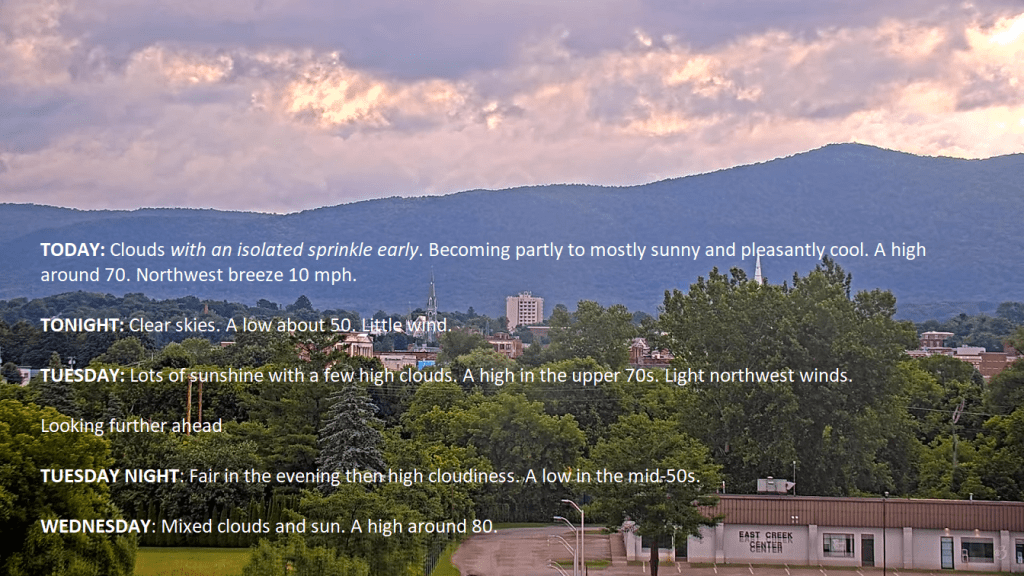
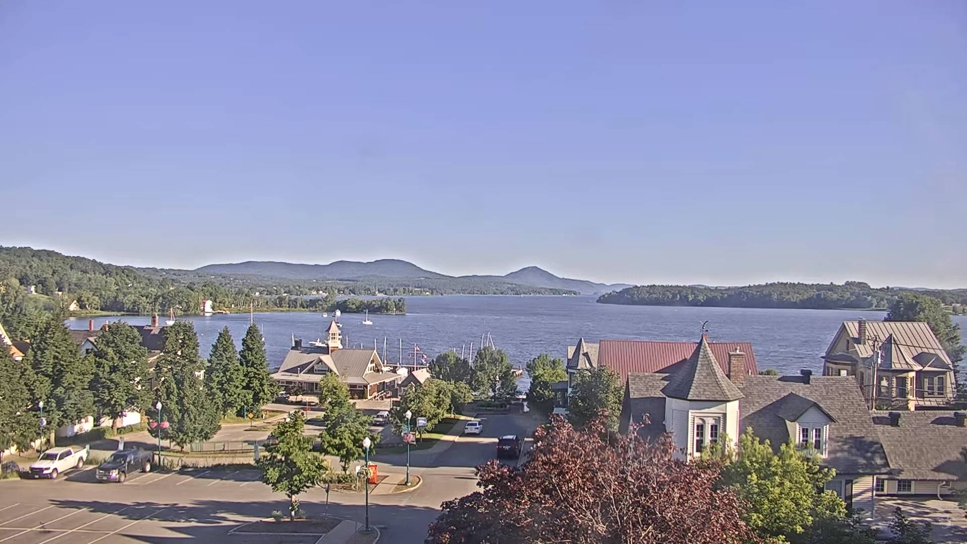
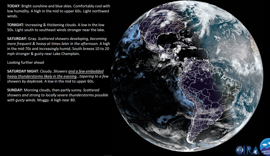
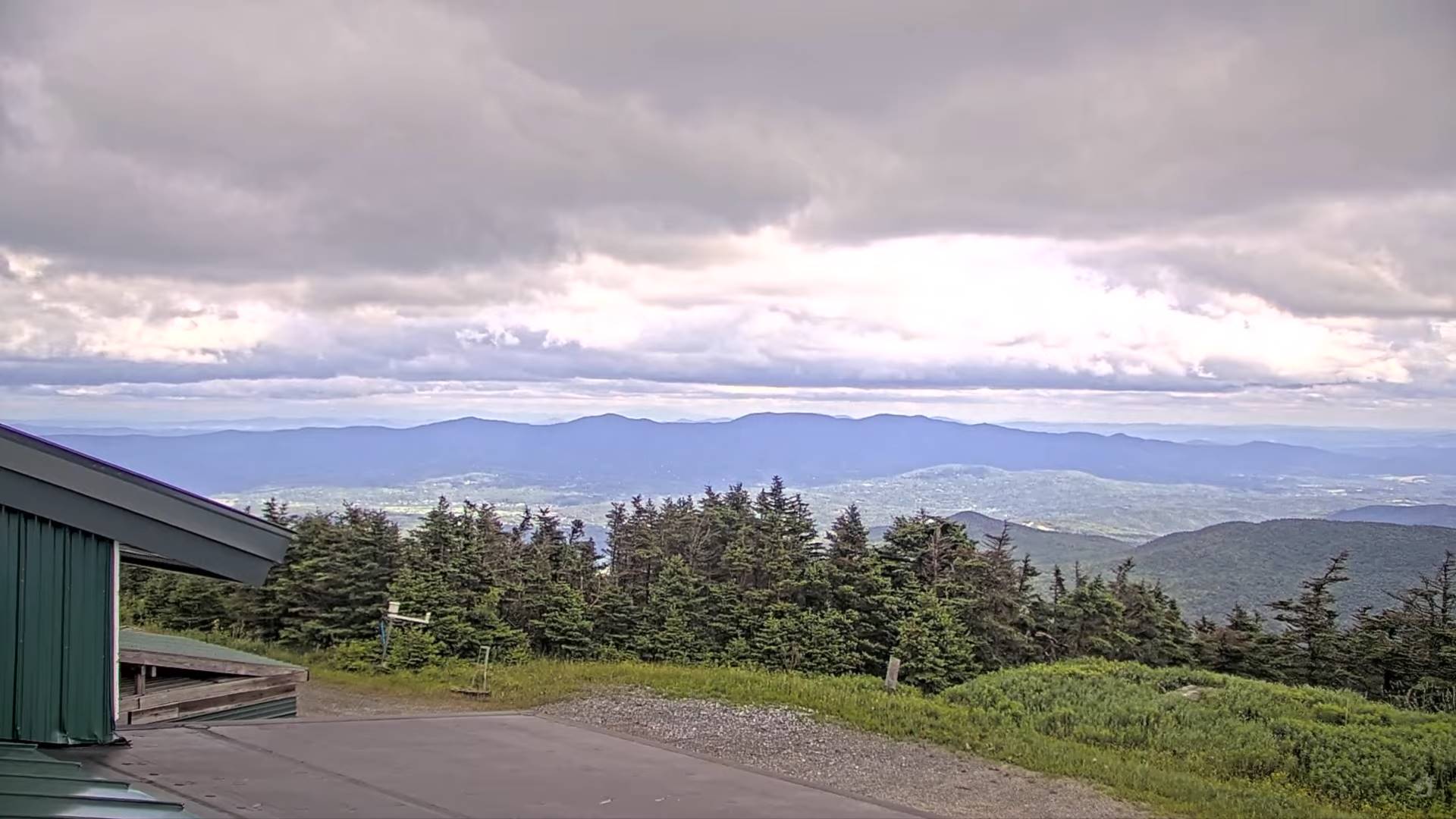
TODAY: Bright sunshine and blue skies. Comfortably cool with low humidity. A high in the mid to upper 60s. Light northwest winds.
TONIGHT: Increasing & thickening clouds.A low in the low 50s. Light south to southeast winds stronger near the lake.
SATURDAY: Gray. Scattered showers developing, becoming more frequent & heavy at times later in the afternoon. A high in the mid-70s and increasingly humid. South breeze 10 to 20 mph stronger & gusty near Lake Champlain.
Looking further ahead
SATURDAY NIGHT: Cloudy. Showers and a few embedded heavy thunderstorms likely in the evening…tapering to a few showers by daybreak. A low in the mid to upper 60s.
SUNDAY: Morning clouds, then partly sunny. Scattered showers and strong to locally severe thunderstorms possible with gusty winds. Muggy. A high near 80.
MONDAY: Mixed clouds and sun. Widely scattered afternoon showers & thunderstorms. A low in the mid to upper 50s. A high 70 to 75.
TUESDAY: Mostly sunny. A low around 50. A high 75 to 80.
Average lows low to mid 50s. Average high mid-70s to low 80s
RH/6-28forecast][end]
Dew point Temperatures shown above…
TONIGHT: Clear & partially moonlit. Patchy valley fog. A low mid to upper 40s. Light northwest winds.
TOMORROW: Patchy valley fog then sunny. Cool & comfortable with low humidity. A high upper 60s. Light northwest winds.
FRIDAY NIGHT: Increasing & thickening clouds.A low in the low 50s. Light south to southeast winds stronger near the lake..
SATURDAY: Gray. Showers & embedded thunderstorms becoming likely late afternoon into the evening. Some possibly heavy. A high in the mid-70s and increasingly humid. South breeze 10 to 15 mph stronger near the lake.
Looking further ahead
SATURDAY NIGHT: Cloudy. Showers and a few embedded thunderstorms likely in the evening…tapering to few showers toward daybreak. A low near 65.
SUNDAY: Clouds with widely scattered leftover showers early, gives way to partial sunshine. Scattered showers and a few thunderstorms later in the afternoon northern border areas. Muggy. A high pushing 80.
MONDAY: Mixed clouds and sun. Widely scattered afternoon showers & thunderstorms. A low in the upper 50s near 60. A high 70 to 75.
TUESDAY: Mostly sunny. A low in the low 50s A high in the mid-70s.
Average lows low to mid 50s. Average high mid-70s to low 80s
RH/6-76forecast][end]

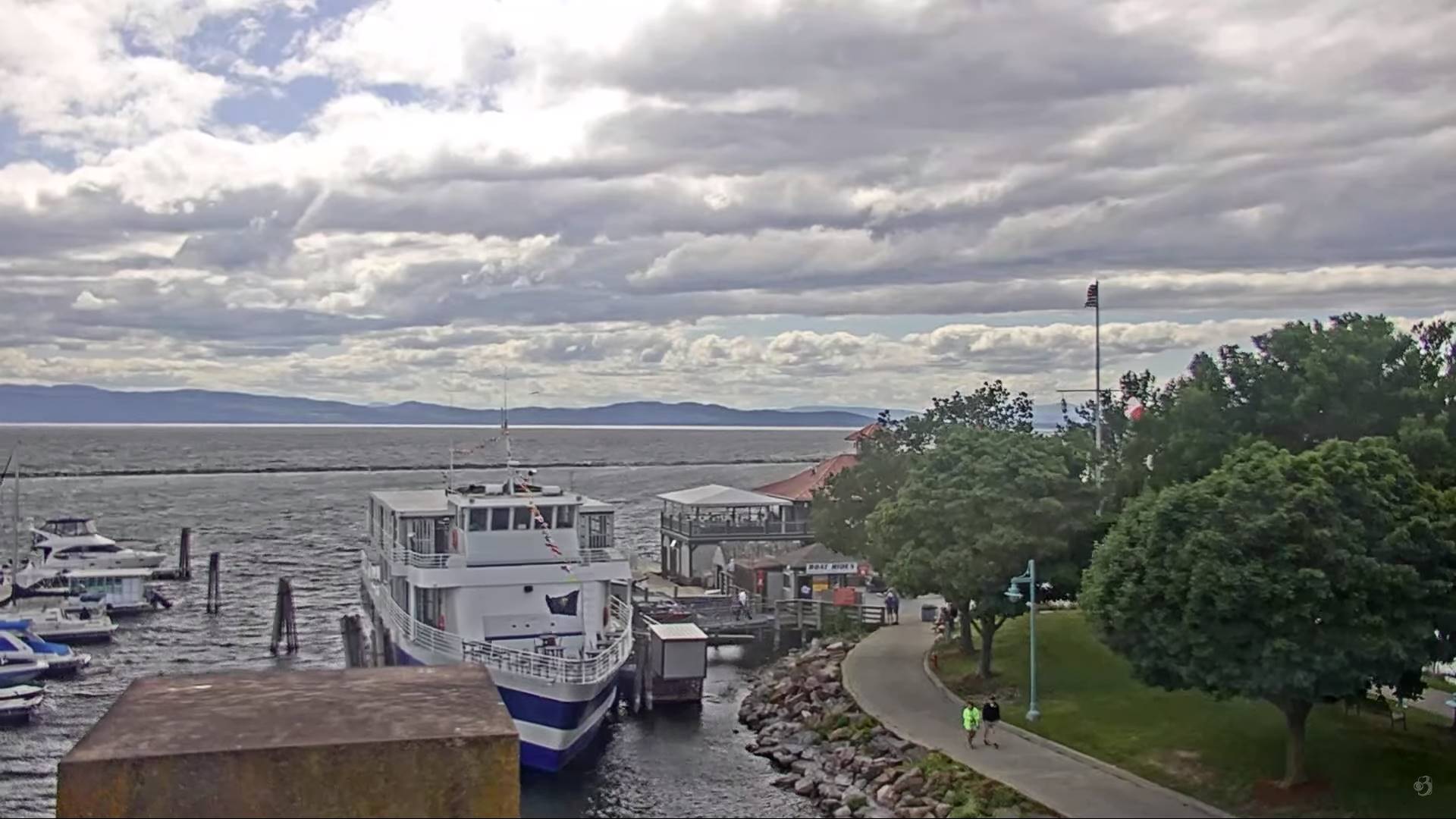
TODAY: Mixed sun and clouds. Widely scattered passing showers. Moderately humid. A high upper 60s near 70. Northwest breeze 10 to 20 mph.
TONIGHT: Clear & partially moonlit. Patchy valley fog. A low mid to upper 40s. Light northwest winds.
FRIDAY: Patchy valley fog then sunny. Cool & comfortable with low humidity. A high upper 60s. Light northwest winds.

Looking further ahead
FRIDAY NIGHT: Increasing & thickening clouds.A low in the low 50s.
SATURDAY: Gray. Showers & embedded thunderstorms becoming likely late afternoon into the evening. Some possibly heavy. A high in the mid-70s and increasingly humid.

SUNDAY: Clouds with scattered leftover showers early, gives way to partial sunshine. Muggy. A low near 65. A high pushing 80.
MONDAY: Mixed clouds and sun. Widely scattered afternoon showers & thunderstorms. A low in the upper 50s near 60. A high 70 to 75.
TUESDAY: Mostly sunny. A low in the low 50s A high in the mid-70s.
Average lows low to mid 50s. Average high mid-70s to low 80s
RH/6-76forecast][end]

TONIGHT: Cloudy. A period of rain or shower, moderate at times arriving late evening, before exiting to partial clearing daybreak. A low about 60. Light variable winds.
TOMORROW: Mixed sun and clouds. A few passing showers, maybe a rumble of thunder in the afternoon. Moderately humid. A high about 70. Northwest breeze 10 to 15 mph.
THURSDAY NIGHT: Clear & partially moonlit. Patchy valley fog. A low near 50. Light northwest winds.
FRIDAY: Sunshine & cool after patchy valley fog. A high upper 60s around 70. Light northwest winds.
Looking further ahead
FRIDAY NIGHT: Increasing & thickening clouds.A low 50 to 55.
SATURDAY: Gray. Rising chance for showers, & a risk of embedded thunderstorms late afternoon. A high 70 to 75 and muggy.

SUNDAY: Transition day. Clouds with scattered leftover showers early, gives way to partial afternoon sunshine. More humid. A low 60 to 65. A high 75 to 80.
MONDAY: Mixed clouds and sun. Scattered showers with a risk for thunder. A low in the upper 50s. A high around 70.
Average lows low to mid 50s. Average high mid-70s to low 80s
RH/6-26forecast][end]
TODAY: A couple passing showers this morning, then filtered sunshine thru high clouds. Warmer and a little muggier with a high in the low 80s. West breeze 10 to 15 mph in the afternoon.
TONIGHT: Mainly cloudy. A period of rain or showers becoming likely late this evening before exiting to partial clearing around daybreak. A low in the low 60s. Light southwest winds.
THURSDAY: Mixed sun and clouds. A few passing showers with isolated rumbles of thunder mid-afternoon or so. Moderately humid. A high in the low 70s. West to northwest breeze 10 to 15 mph.
Looking further ahead
THURSDAY NIGHT: Clear & partially moonlit. Patchy valley fog. A low near 50.
FRIDAY: Mostly sunny and cool after patchy valley fog. A high upper 60s around 70.
SATURDAY: Gray. Rising chance for showers, & a risk of embedded thunderstorms in the evening. A low 50 to 55. A high upper 60s to low 70s and muggy.
SUNDAY: Transition day. Clouds with scattered leftover showers early, gives way to partial afternoon sunshine. More humid. A low 60 to 65. A high around 80.

MONDAY: Mixed clouds and sun. Scattered showers with a risk for thunder. A low in the upper 50s. A high around 70.
Average lows low to mid 50s. Average high mid-70s to low 80s
RH/6-24forecast][end]
