
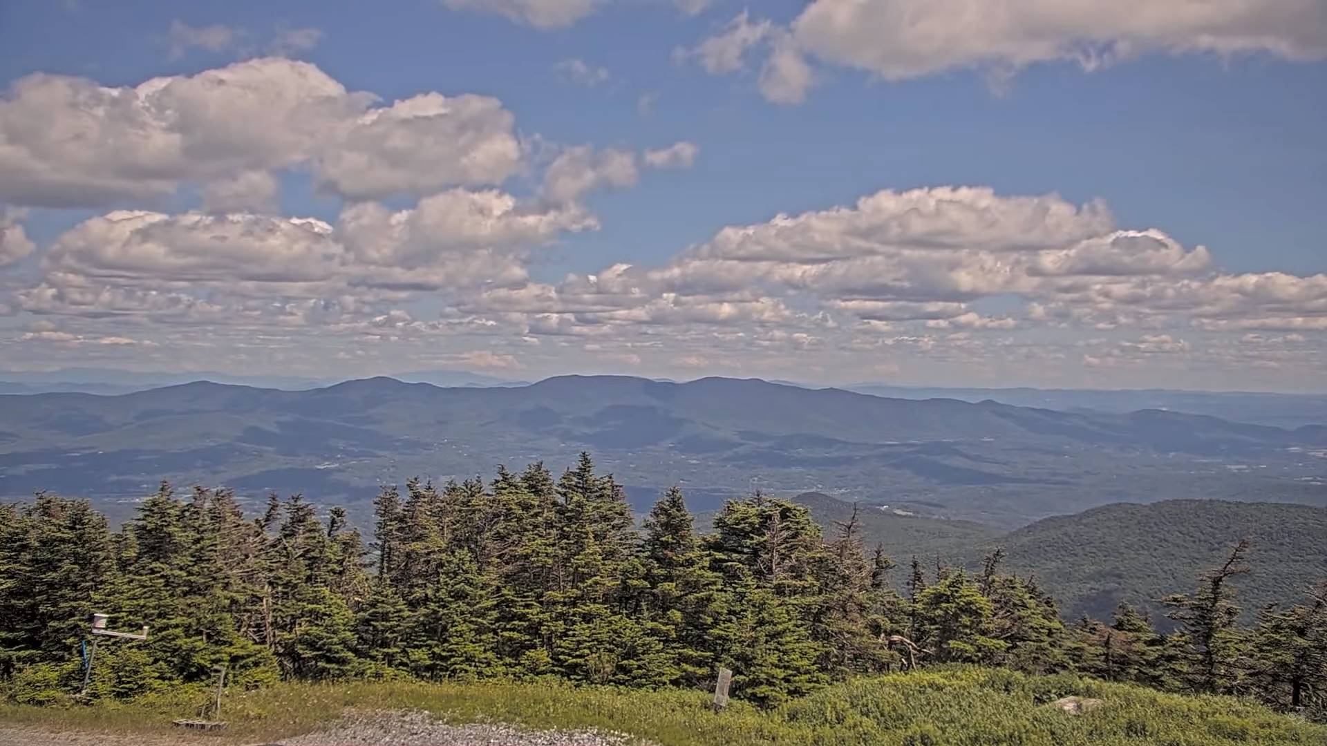
9-30-24 A look back at September Climatology locally
Septembers anecdotally across northern New England and upstate New York, have really been nice generally above normal than recent baselines, drier than normal, and frequently seeing drier than normal conditions, making outdoor events really sparkle. The dry mild conditions have come due to blocking high-pressure systems keeping clouds and rainfall at bay.
The one major rainfall occurred with a slow-moving frontal system on the 25th, and 26th. 2.47” of rainfall — a decent soaker brought up local streams and rivers from rocky trickles, but did not flood or cause washouts.
Temperatures were largely above normal but without extremes. “Weather-tainment” values (my new category for those who follow closely) in the Green Mountain state were largely absent, with impulses moving through weak and generally fading as they approached the Green Mountain State. Wind gusts were limited. This may mean the next more marginal windy day, may see more trees come down than usual.
Fall color was drabber in my opinion, but pockets of vivid reds, yellows, and oranges were out there with “leaf-peepers more in search. With a big dry stretch from the 10th, through the 24th, some tree species were sufficiently dried out as to have crinkled leaves, but the main sugar maples were still doing their thing. Flying insects were happiest with more wasps than usual.
Many days saw sunshine after morning fogs in the valleys, below the typical temperature inversions setting up about 1300 ft MSL. Weather hazards were practically nil.
9/30/24 General Weather Trends first half of October
The projection for the first half of October are more active though gradually, but overall milder, and opportunities for precipitation come at us in the Northern New England region fading with the default position of higher pressure over the Northeast U.S.
However, a more normal weather pattern eventually kicks in with more frequent opportunities for light amounts of precipitation in the form of rain.
Across the mountain tops of northern New England, we see increasing chances for a little dusting of snow where temperatures aloft barely get cold enough.
As the weather pattern may change up to one more average after the first week of October, there will be more partly sunny to sunny days in between frontal passages. Overall, a slow start to the cold season is anticipated, and lower than average snowfall for the northeast, with the active weather favoring western Canada into parts of the interior of the west.
Sporadic cloud cover this weekend, dreary middle of next week
Smoky Summer comes to an end?
Last half of September – whats ahead 9-15-24
test 2
Test
Test
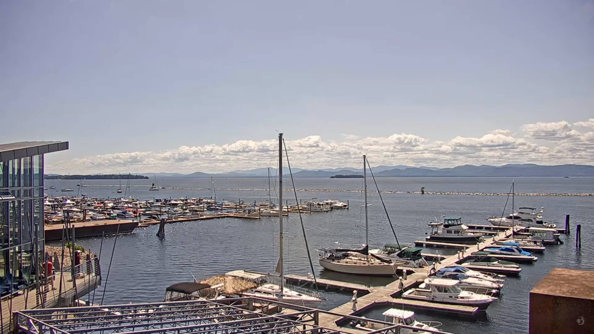
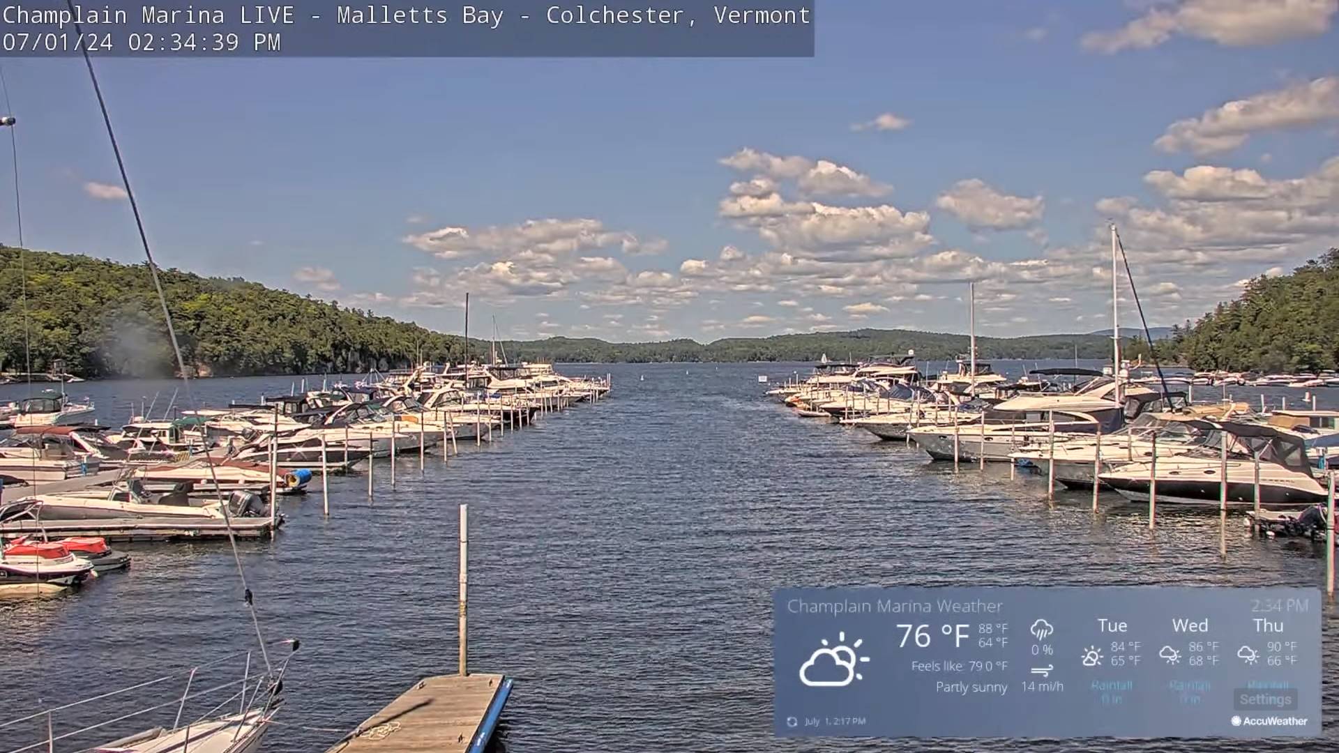
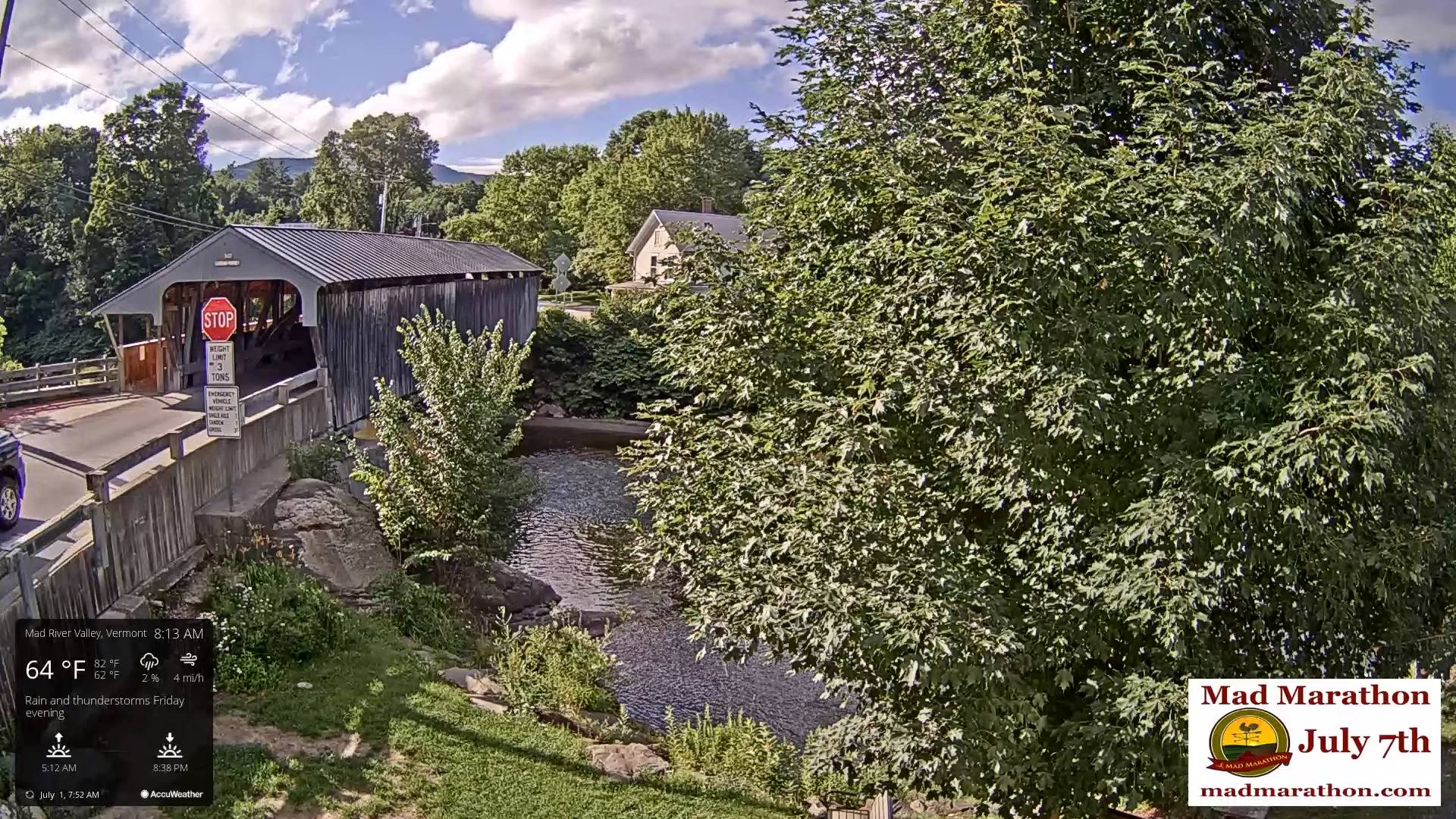
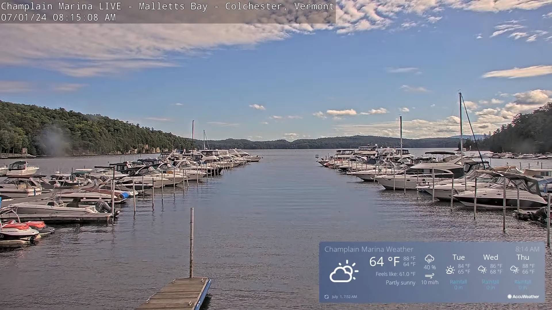
Updated Monday night Forecast — July 1st, 2024
TONIGHT: Clear skies.A low in the low 50s.Little wind.
TUESDAY: Lots of sunshine with a few high clouds. A high 75 to 80. Light northwest winds.
TUESDAY NIGHT: Fair skies with high cloudiness. A low mid to upper 50s. Light southeast winds.
WEDNESDAY: More clouds than sun in the morning then partly to mostly sunny. A high upper 70s near 80. South to southwesterly breeze 10 to 15 mph…stronger near Lake Champlain.
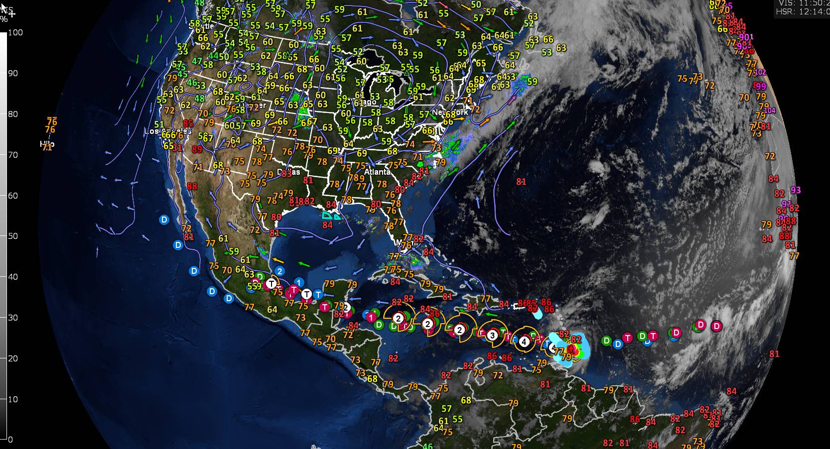
Looking further ahead
WEDNESDAY NIGHT: Cloudy periods. Scattered showers and isolated rumbles of thunder developing toward midnight, exiti
ng before daybreak. A low in the upper 60s.
THURSDAY Independence Day: Some leftover morning clouds, then partly to mostly sunny. Muggy and warm, a high 80 to 85.
FRIDAY: Some morning clouds, then mostly sunny. Slight chance for an afternoon shower or thunderstorm. A low around 65. A high near 85
SATURDAY: Variable clouds. Scattered mainly afternoon showers and thunderstorms. A low 65 to 70. A high 80 to 85.
Average lows low to mid 50s. Average high upper 70s to lower 80s
RH/7-1forecast][end]
Updated Monday Morning Forecast — July 1st, 2024
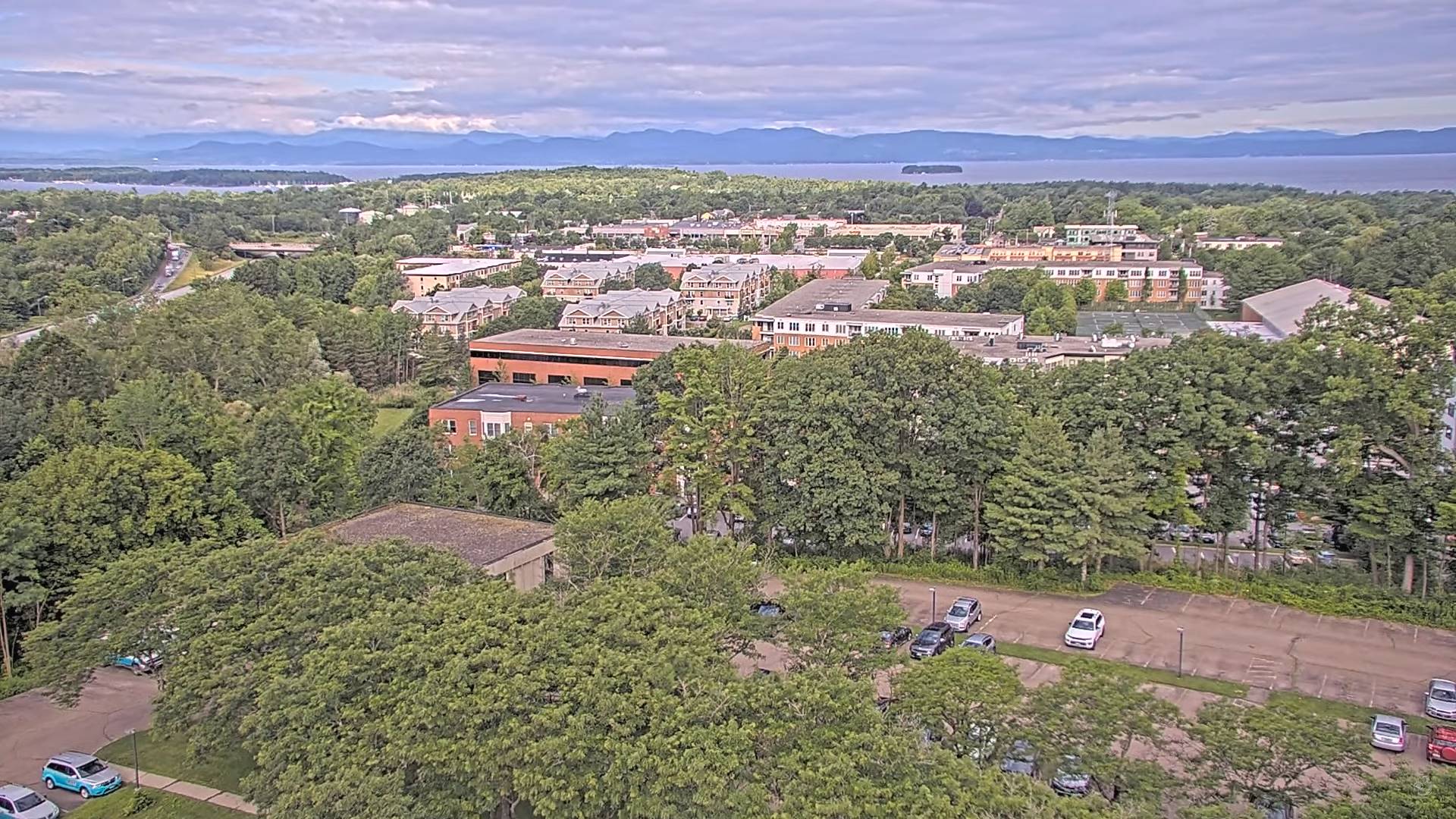
TODAY: Clouds with an isolated sprinkle early. Becoming partly to mostly sunny and pleasantly cool.A high around 70. Northwest breeze 10 mph.
TONIGHT: Clear skies.A low about 50.Little wind.
TUESDAY: Lots of sunshine with a few high clouds. A high in the upper 70s. Light northwest winds.
Looking further ahead
TUESDAY NIGHT: Fair in the evening then high cloudiness. A low in the mid-50s.
WEDNESDAY: Mixed clouds and sun. A high around 80.
THURSDAY Independence Day: Widely scattered showers and a rumble or two of thunder early morning hours, then partly to mostly sunny. A low 65 to 70. A high 80 to 85.
FRIDAY: Some morning clouds, then mostly sunny. A low in the low to mid 60s. A high in the low 80s.
Average lows low to mid 50s. Average high upper 70s to lower 80s
RH/7-1forecast][end]
