Roger Hill’s Weathering Heights Forecast October 23, 2024
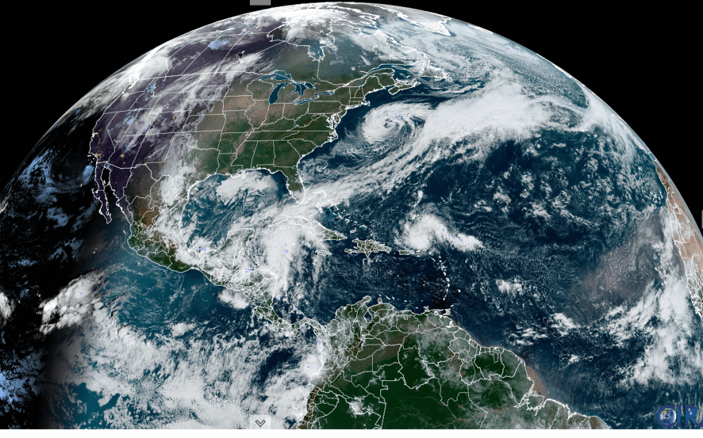
THIS AFTERNOON: Sunshine gives way to more clouds later on. Abnormally mild, dry conditions and breezy to contribute to elevated fire danger. A high mid to upper 70s. South to southwest breeze 10 to 15 mph stronger & gusty near Lake Champlain.
TONIGHT: Considerable cloudiness. A round of light passing showers drying up overnight. A low about 45. Winds shifting to northwesterly 10 mph.
TOMORROW: Lots of morning clouds then mostly sunny in the afternoon. Much cooler, with a high in the lower 50s. Chilly northwest winds 10 mph
Looking further ahead
THURSDAY NIGHT: Clear and partially moonlit with areas of frost. A low about 30.
FRIDAY: Sunshine then increasing clouds late. A high 50 to 55.
SATURDAY: Mixed sun and clouds. A few sprinkles mixed with mountain snowflakes. A low 35 to 40. A high 50 to 55.
SUNDAY: More sun than clouds. A low around 32 degrees. A high in the mid to upper 40s.
Average low 30 to 35. Average high low to mid 50s
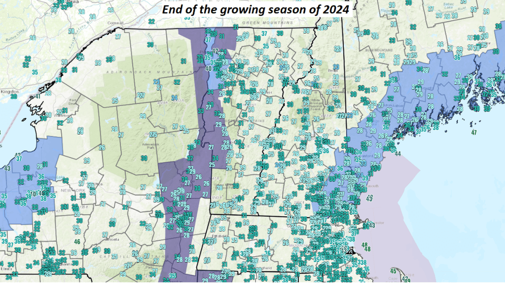
Transition to “Stick Season”
RH/10-23forecast][end]