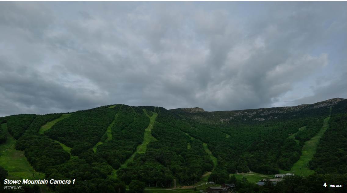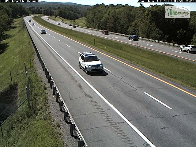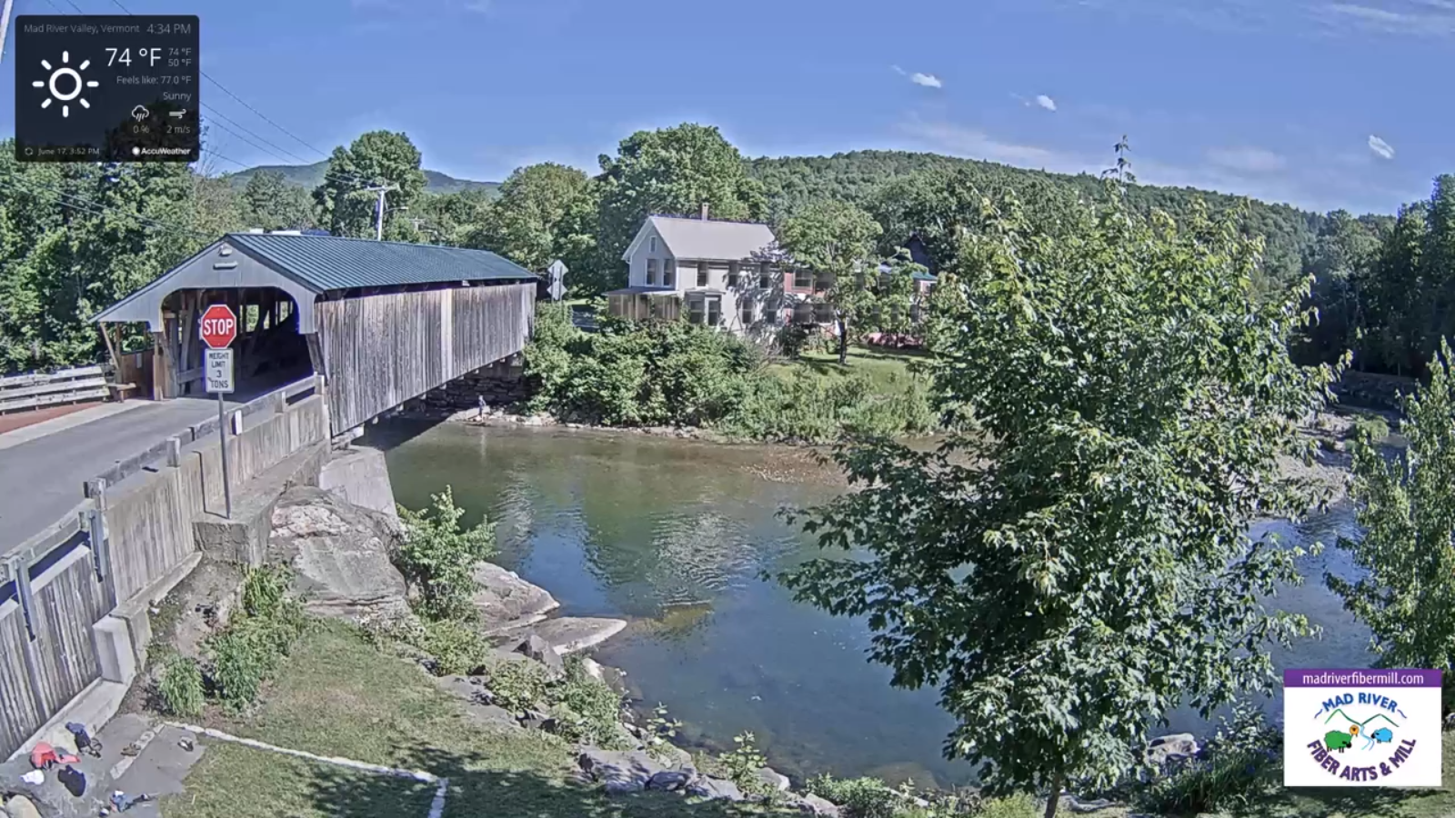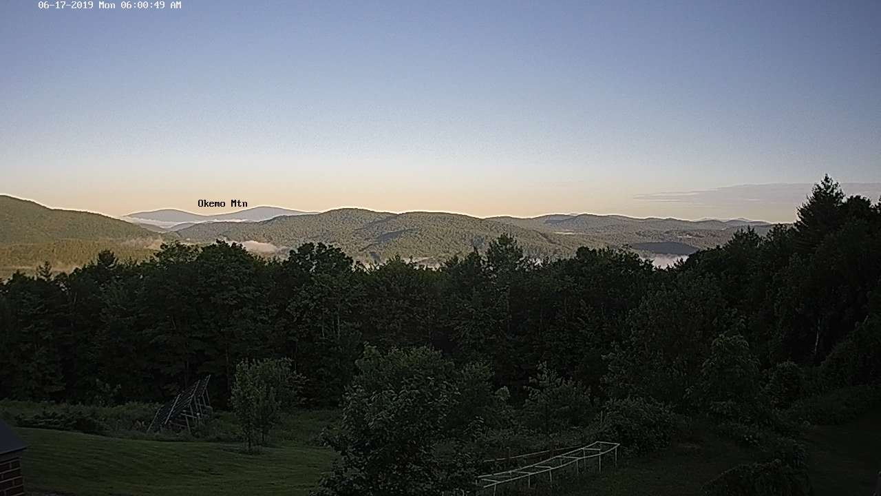

Updated Tuesday Evening Forecast — June 18th, 2019

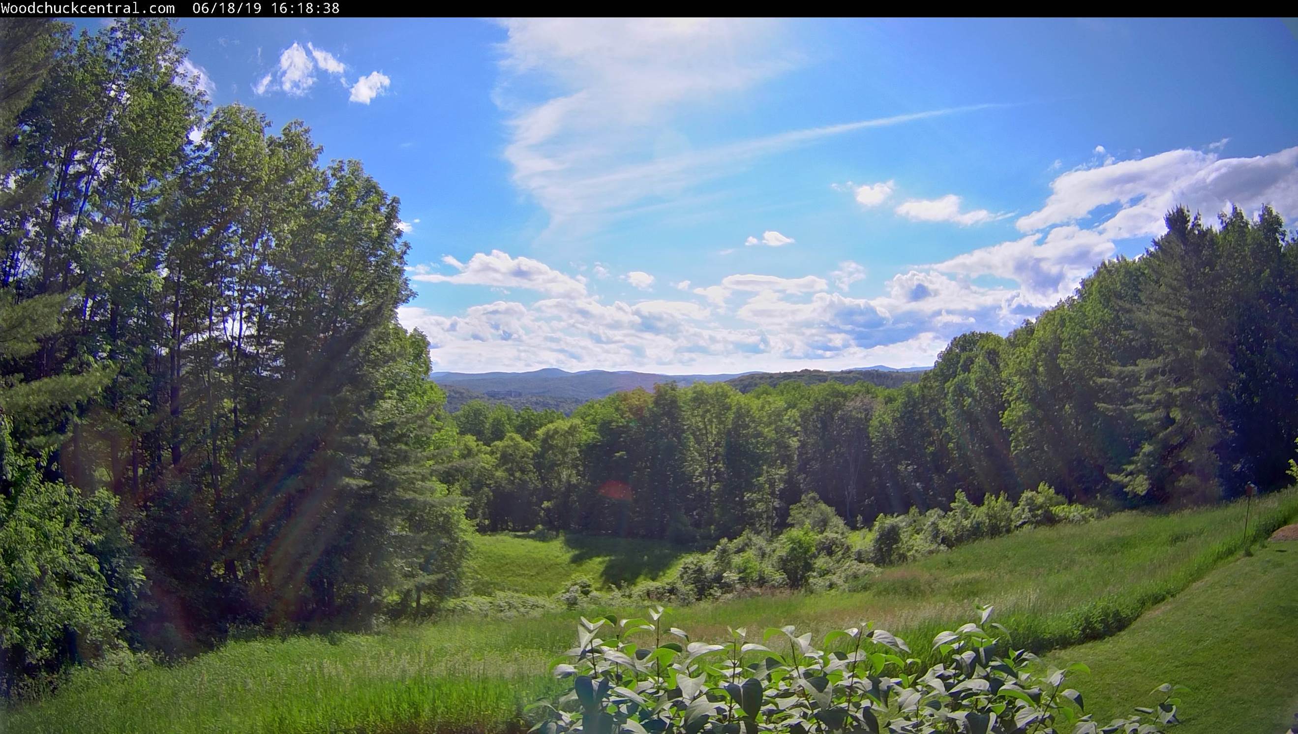
TONIGHT: Partly cloudy to mostly clear & fully moonlit skies. A low mid to upper 50s. Light southwest winds.

TOMORROW: Mixed clouds and sun. Scattered afternoon showers and thunderstorms especially northern areas. Sticky. A high near 75. Light southwest winds.

WEDNESDAY NIGHT: Partly cloudy early then clouding up. Chance for leftover shower mainly northern areas. Humid. A low around 60. Light southeast winds.

THURSDAY: Considerable cloudiness. Showers becoming likely in the afternoon with a risk for a thunderstorm…possibly moderate to heavy. A high in the low 70s. Light winds.

Looking further ahead…

THURSDAY NIGHT: Periods of rain with a chance for thunderstorms especially in the evening. A low in the mid to upper 50s.

Summer Solstice 11:54 AM Friday…

FRIDAY: Scattered morning showers exiting. Becoming breezy to windy. A high in the mid to upper 60s.

SATURDAY: Scattered mountain sprinkles, otherwise clouds mixing with more sun. A low in the low 50s. A high upper 60s to near 70.

SUNDAY: Mixed sun and clouds, blustery at times. A low in the 50s. A high 70 to 75.

Average lows in the low to mid 50s. Average highs in the mid to upper 70s.
RH/6-18-19[end]
Updated Tuesday morning Forecast — June 18th, 2019

TODAY: Clouds this morning, partly sunny this afternoon but more clouds southern areas. Moderately humid with a high near 75. Light southwest winds.

TONIGHT: Becoming mostly cloudy. Slight chance for a brief shower. A low around 55. Light southeast winds.

WEDNESDAY: Mixed clouds and sun. Scattered mainly afternoon showers and thunderstorms especially northern areas. Sticky. A high in the mid to upper 70s. Light south winds.

Looking further ahead…

WEDNESDAY NIGHT: Mostly cloudy. A leftover spotty shower. Kind of muggy. A low upper 50s to near 60.

THURSDAY: Considerable cloudiness. Chance for showers. A high 70 to 75.

Summer Solstice 11:54 AM Friday…

FRIDAY: Chance for rain…with a risk for thunder in the morning, moderate to locally heavy at times…tapering off in the later afternoon. Becoming breezy to windy. A low in the mid to upper 50s. A high 65 to 70.

SATURDAY: Scattered mountain sprinkles, otherwise clouds mixing with more sun. A low around 55. A high pushing to near 70.

SUNDAY: Mixed sun and clouds, blustery at times. A low 55 to 60. A high in the low to mid 70s.

Average lows in the low to mid 50s. Average highs in the mid to upper 70s.

RH/6-18-19[end]
Updated Monday Evening Forecast — June 17th, 2019

TONIGHT: Scattered clouds, fully moonlit skies. Patchy valley fog. A low 45 to 50. Little wind.

TOMORROW: Mixed clouds and sun. Moderately humid with a high near 75. Light southwest winds.

TUESDAY NIGHT: Becoming mostly cloudy. Chance for a shower or two. A low in the mid 50s. Light southeast winds.

WEDNESDAY: Mixed clouds and sun. Scattered mainly afternoon showers and thunderstorms especially northern areas. Sticky. A high in the mid 70s. Light south winds.

Looking further ahead…

WEDNESDAY NIGHT: Mostly cloudy. Scattered showers. A low mid to upper 50s.

THURSDAY: Considerable cloudiness. Chance for showers. A high 70 to 75.

Summer Solstice 11:54 AM Friday…

FRIDAY: Chance for rain…possibly moderate at times early…tapering off in the afternoon. A low in the mid to upper 50s. A high in the around 70.

SATURDAY: Slight chance for a shower or two Northeast Kingdom, otherwise clouds mixing with more sun.

Average lows in the low to mid 50s. Average highs in the mid to upper 70s.

RH/6-17-19[end]

Updated Monday Morning Forecast — June 17th, 2019

TODAY: Dense morning fog burns off to partly to mostly sunny skies and pleasant afternoon. A high in the low to mid 70s. Light northwest winds.

TONIGHT: Partly cloudy. A low 45 to 50. Little wind.

TUESDAY: Mixed clouds and sun. Moderately humid with a high near 75. Light southwest winds.

Looking further ahead…

TUESDAY NIGHT: Partly to mostly cloudy. A slight chance for shower far southern areas late. A low in the mid 50s.

WEDNESDAY: Mixed clouds and sunshine. Scattered afternoon showers and thunderstorms especially northern areas. Sticky. A high in the low to mid 70s.

THURSDAY: Partly to mostly cloudy with a chance for a shower. A low in the mid 50s. A high in the low to mid 70s.

FRIDAY: Overcast and gray. Chance for rain…possibly moderate at times. A low in the mid 50s. A high in the mid 60s to around 70.

Average lows in the low to mid 50s. Average highs in the mid to upper 70s.

RH/6-17-19[end]

Updated Friday Evening Forecast — June 14th, 2019

TONIGHT: Couple of showers exiting, otherwise evening clouds becoming partly cloudy. Patchy valley fog. A low 45 to 50. Light southwest winds.

TOMORROW: Partly to mostly cloudy with slight chance for a shower near the Quebec border, otherwise partial sunshine. A high near 75. South to southwest winds 10 to 15 mph.

SATURDAY NIGHT: Clouding up and a little muggy. Chance for showers. A low mid to upper 50s. Light west wind.

SUNDAY Father’s Day: Cloudy. A good chance for showers…Partial afternoon sunshine developing northern areas. A high upper 60s to low 70s and a little muggy. Light northwest winds

Looking further ahead…

SUNDAY NIGHT: Mostly clear. Patchy valley fog. A low in the 40s.

Full Strawberry Moon 4:34 AM

MONDAY: Partial afternoon sunshine. Chance for showers especially southern areas. A high mid to upper 70s.

TUESDAY: Partly to mostly cloudy. Scattered showers…maybe a thunderstorm. A low around 50. Moderately humid with a high around 75.

WEDNESDAY: Clouds with a chance for showers, maybe a thunderstorm. A low in the 50s. Moderately muggy. A high in the low to mid 70s.

Average lows 50 to 55. Average highs in the mid 70s.

RH/6-14-19[end]

Updated TGIF Morning Forecast — June 14th, 2019

TODAY: Clouds, with a few intervals of sun.Scattered showers, maybe a rumble of thunder and isolated small hail. A high in the mid 60s.Southwest winds 10 to 20 mph.

TONIGHT: Couple of showers exiting, otherwise partly cloudy. Patchy valley fog. A low 45 to 50. Light southwest winds.

SATURDAY: Partly to mostly cloudy with slight chance for a shower near the Quebec border, otherwise partial sunshine. A little muggy. A high near 75. Southwest winds 10 to 20 mph.

Looking further ahead…

SATURDAY NIGHT: Mostly cloudy. Chance for showers. A low mid to upper 50s.

SUNDAY Father’s Day: Cloudy. A good chance for showers…Partial afternoon sunshine developing northern areas. A high upper 60s to low 70s.

Full Strawberry Moon 4:34 AM

MONDAY: Mainly cloudy. Chance for showers especially southern areas. A low around 50. A high mid to upper 70s.

TUESDAY: Partly to mostly cloudy. Scattered showers…maybe a thunderstorm. A low around 50. A high around 75.

WEDNESDAY: Clouds with a chance for showers. A low in the 50s. A high in the low to mid 70s.

Average lows 50 to 55. Average highs in the mid 70s.

RH/6-14-19[end]

Updated Thursday Night Forecast — June 13th, 2019

TONIGHT: Lots of clouds. Slight chance for a shower. A low mid to upper 40s. Light southeast winds.

TOMORROW: Mixed sun and clouds.Scattered showers, maybe rumble of thunder isolated small hail. A high in the mid 60s.Southwest winds 10 to 20 mph.

FRIDAY NIGHT: Couple of showers exiting, otherwise mostly cloudy. A low 45 to 50. Light southwest winds.

SATURDAY: Sunshine mixing with more clouds. A few late day showers far northern areas. A little muggy. A high near 75. Southwest winds 10 to 20 mph.

Looking further ahead…

SATURDAY NIGHT: Mostly cloudy. Chance for showers. A low in the mid 50s to around 60.

SUNDAY Father’s Day: Cloudy with a good chance for mainly morning showers…giving way to intervals of sun in the afternoon. Muggy. A high upper 60s to low 70s

Full Strawberry Moon 4:34 AM

MONDAY: Mainly cloudy. Chance for showers especially southern areas. A low 45 to 50. A high in the lower 70s.

TUESDAY: Partly to mostly cloudy. Scattered showers…maybe a thunderstorm. A low 55 to 60. A high 70 to 75.

Average lows 50 to 55. Average highs in the mid 70s.

RH/6-13-19[end]

Updated Thursday morning Weather — June 13th, 2019

TODAY: Cloudy and gray.Scattered light showers developing southern areas spreading northward. A high in the low to mid 60s. East to southeast winds 10 to 20 mph but stronger western slopes of the Greens.

TONIGHT: Scattered evening showers exiting overnight. Otherwise mostly cloudy. A low 45 to 50. Light southeast winds.

FRIDAY: Mixed sun and clouds.Scattered showers and thunderstorms…some with small hail. A high in the mid to upper 60s.Southwest winds 10 to 20 mph.

Looking further ahead…

FRIDAY NIGHT: Isolated showers exiting, otherwise mostly cloudy. A low 45 to 50.

SATURDAY: Sunshine mixing with more clouds. A few showers near the Quebec border but mostly dry! A little muggy. A high near 75.

SUNDAY Father’s Day: Cloudy. Good chance for showers. Muggy. A low mid 50s to near 60. A high 70 to 75.

Full Strawberry Moon 4:34 AM

MONDAY: Mainly cloudy. Chance for showers toward southern areas. A low 55 to 60. A high 75 to 80.

TUESDAY: Partly to mostly cloudy. Scattered showers…maybe a thunderstorm. A low in the 50s. A high in the 70s.

Average lows 50 to 55. Average highs in the mid 70s.

RH/6-13-19[end]

Updated Wednesday Evening Forecast — June 12th, 2019

TONIGHT: Variable high cloudiness and partially moonlit. A low around 50. Light south winds.

TOMORROW: Maybe a hint of sun then clouding up.Scattered sprinkles or light showers arriving before mid-day. A high 60 to 65. East to southeast winds 10 to 20 mph but stronger western slopes of the Greens.

THURSDAY NIGHT: Scattered evening showers exiting overnight. Otherwise mostly cloudy. A low upper 40s to around 50. Light southeast winds.

FRIDAY: Mixed sun and clouds.Scattered showers and thunderstorms…some with small hail. A high in the mid to upper 60s.Southwest winds 10 to 25 mph.

Looking further ahead…

FRIDAY NIGHT: Isolated showers exiting, otherwise mostly cloudy. A low 45 to 50.

SATURDAY: Sunshine mixing with more clouds. A few showers near the Quebec border but mostly dry! A little muggy. A high near 75.

SUNDAY Father’s Day: Cloudy. Good chance for showers. Muggy. A low mid 50s to near 60. A high 70 to 75.

Full Strawberry Moon 4:34 AM

MONDAY: Mainly cloudy. Chance for showers toward southern areas. A low 55 to 60. A high 75 to 80.

TUESDAY: Partly to mostly cloudy. Scattered showers…maybe a thunderstorm. A low in the 50s. A high in the 70s.

Average lows 50 to 55. Average highs in the mid 70s.

RH/6-12-19[end]

Updated Wednesday morning Forecast — June 12th, 2019

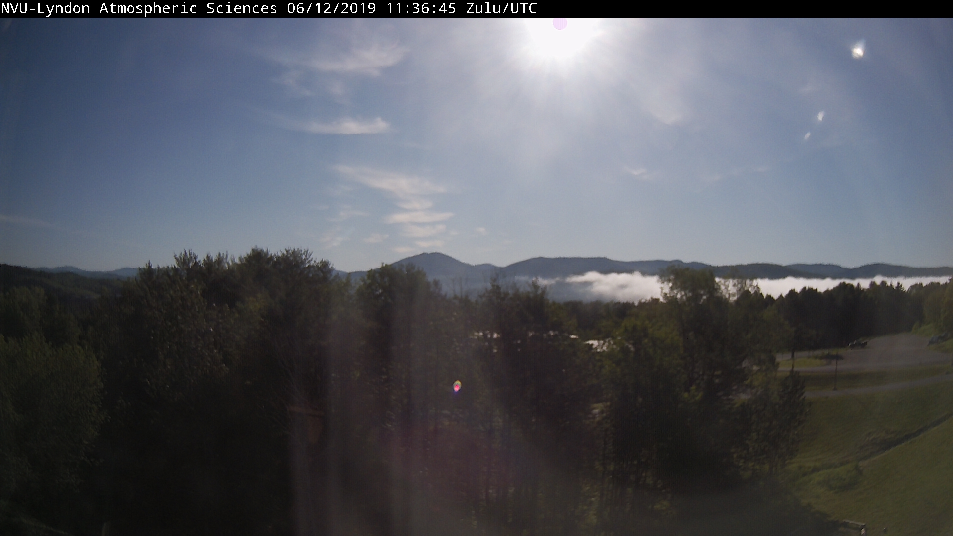
TODAY: Morning fog burns off to lots of sunshine. A few high clouds later this afternoon. Near seasonable temperatures. A high about 70 to 75. Light southwest winds.

TONIGHT: Fair with high cloudiness. A low around 50. Light south winds.

THURSDAY: Brief hints of sun early, then turning cloudy.Light showers overspreading the region becoming likely in the afternoon. A high 60 to 65. East to southeast winds 10 to 20 mph but stronger western slopes of the Greens.

Looking further ahead…

THURSDAY NIGHT: Mainly cloudy. Scattered evening showers. A low 45 to 50.

FRIDAY: Mixed sun and clouds.Scattered showers and thunderstorms…some with small hail. A high near 65.

SATURDAY: Sunshine mixing with more clouds. Chance for showers mainly northern areas. A low 45 to 50. A little muggy. A high in the low 70s.

SUNDAY Father’s Day: Clouds with scattered showers. Muggy. A low mid 50s to near 60. A high 70 to 75.

Full Strawberry Moon 4:34 AM

MONDAY: Partly to mostly cloudy. Chance for afternoon showers, maybe a thunderstorm. A low 55 to 60. A high 75 to 80.

Average lows 50 to 55. Average highs in the mid 70s.

RH/6-12-19[end]