Roger Hill’s forecast 3:00 PM FRIDAY 2-20-26
Winter Storm Warnings & Winter Weather Advisories thru 10 AM Saturday…
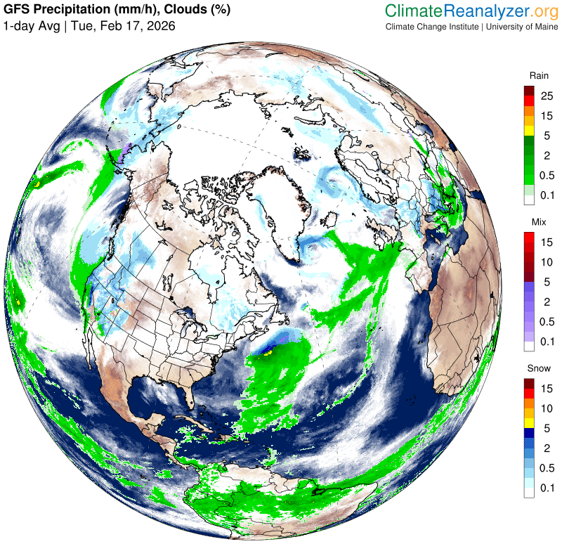
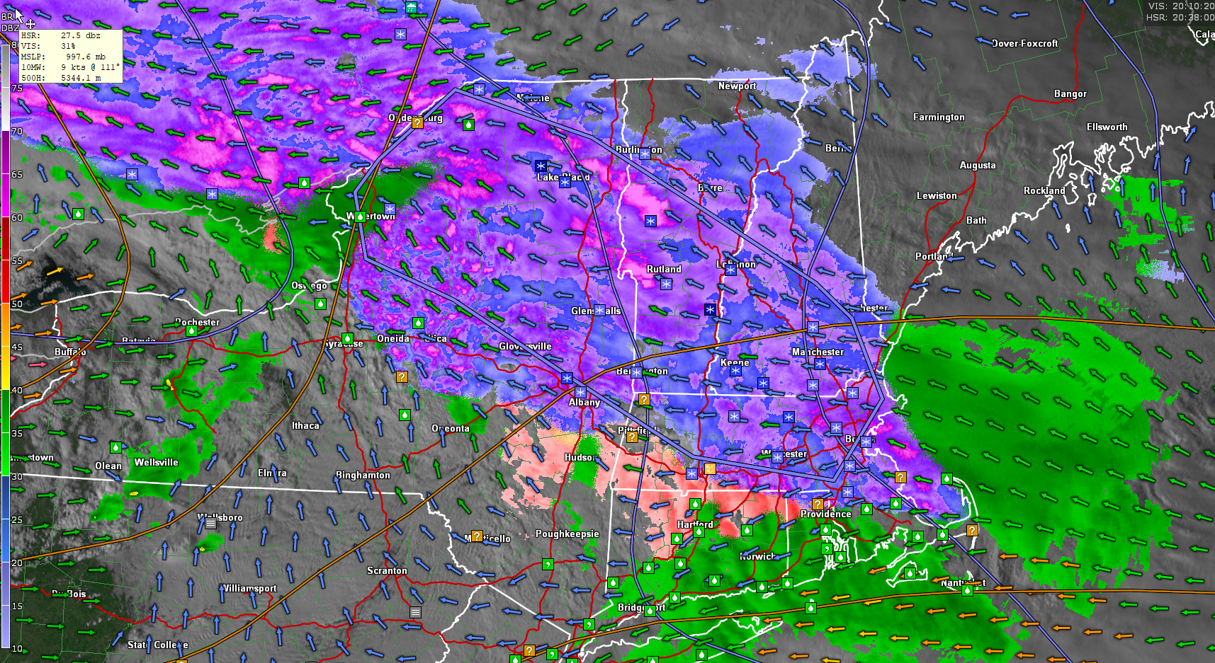
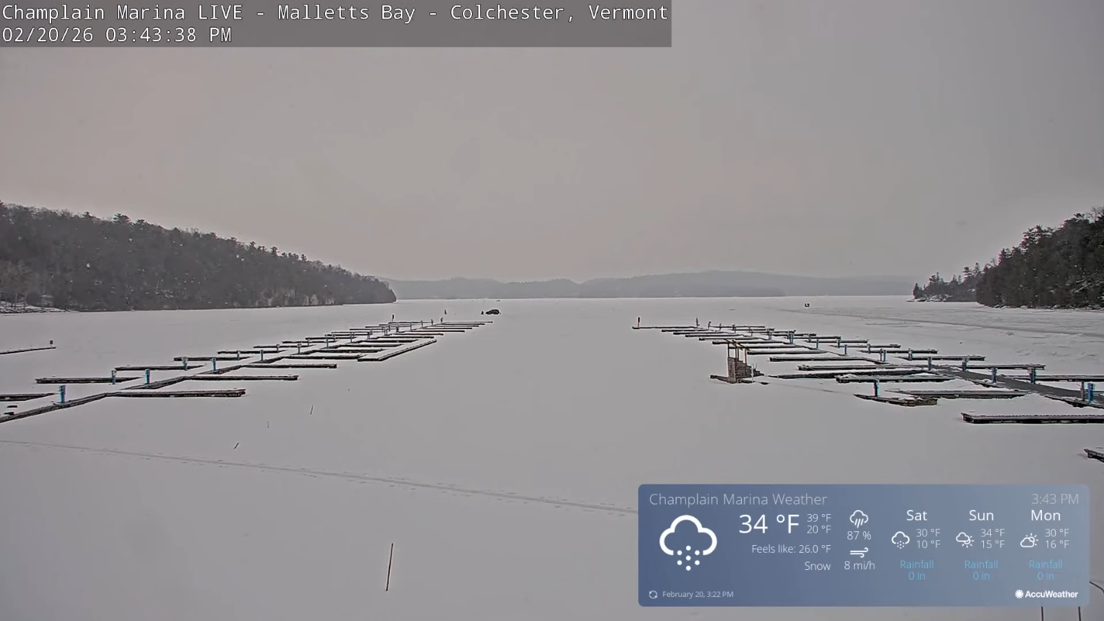
TONIGHT: Overcast. Periods of snow…moderate briefly heavy at times this evening. A few to several inches of accumulation least Northeast Kingdom. A low around 25. Light southeast winds.
TOMORROW: Left-over flurries in the morning. An additional light coating. Partly to mostly sunny in the afternoon.A high in the low 30s. Light northeast winds in the afternoon.
SATURDAY NIGHT: A chance for flurries western areas with a dusting. Otherwise partly cloudy. Lows 0 to 10 above. Light southeast winds.
SUNDAY: Maybe a flurry or two early, then partly sunny. Highs around 35. Light southeast winds.
Looking further ahead
SUNDAY NIGHT: Scattered light snow showers or flurries southeastern Vermont with a light coating. Lows 5 to 15.
MONDAY: Clouds with a break or two of sun. A low in the low to mid-teens. Highs low 30s.
TUESDAY: Lots of clouds and colder. Lows 5 to 15. Highs 20 to 25.
WEDNESDAY: Partly sunny. Chance for a snow shower or flurry. Lows 5 below to 5 above. Highs in the mid-20s.
Average low: mid-single digits to mid-teens. Average high 30 to 35.
Approx. end of climatological Winter March 9th
Vernal Equinox March 20th 10:46 AM
RH/2-20/forecast][end] Fox Trot Delta Tango