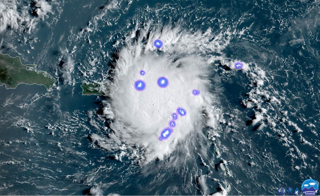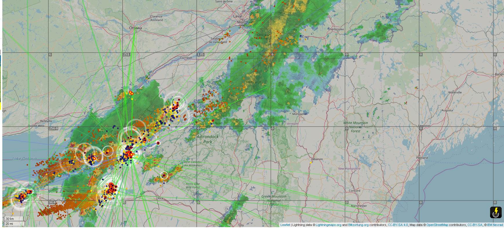
TODAY: Clouds with intervals of sun at times. Breezy and a bit more humid. Scattered showers with a chance for thunderstorms developing Champlain valley this morning overspreading the region this later on into the afternoon. Some storms may be strong to locally severe with gusty winds and small hail especially eastern areas. A high pushing to near 75. South to southwest breeze 10 to 25 mph with higher gusts Champlain Valley for a time this morning.
TONIGHT: Any early evening leftover showers exiting then clearing. Patchy valley fog. A low in the low to mid 40s. Light northwest winds.
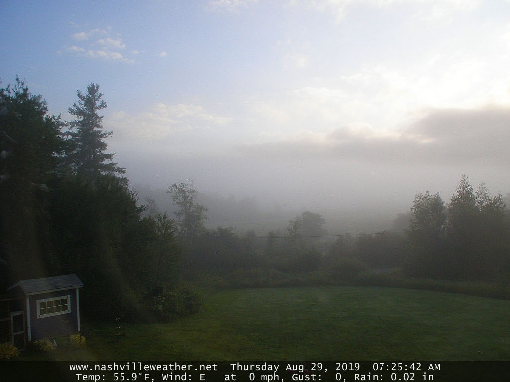
THURSDAY: Pick of the week. Bright sunshine and blue skies after morning fog. A high in the middle 60s. Northwest winds 10 mph.
Looking further ahead…
THURSDAY NIGHT: Mostly clear. Patchy valley fog. A low near 45.
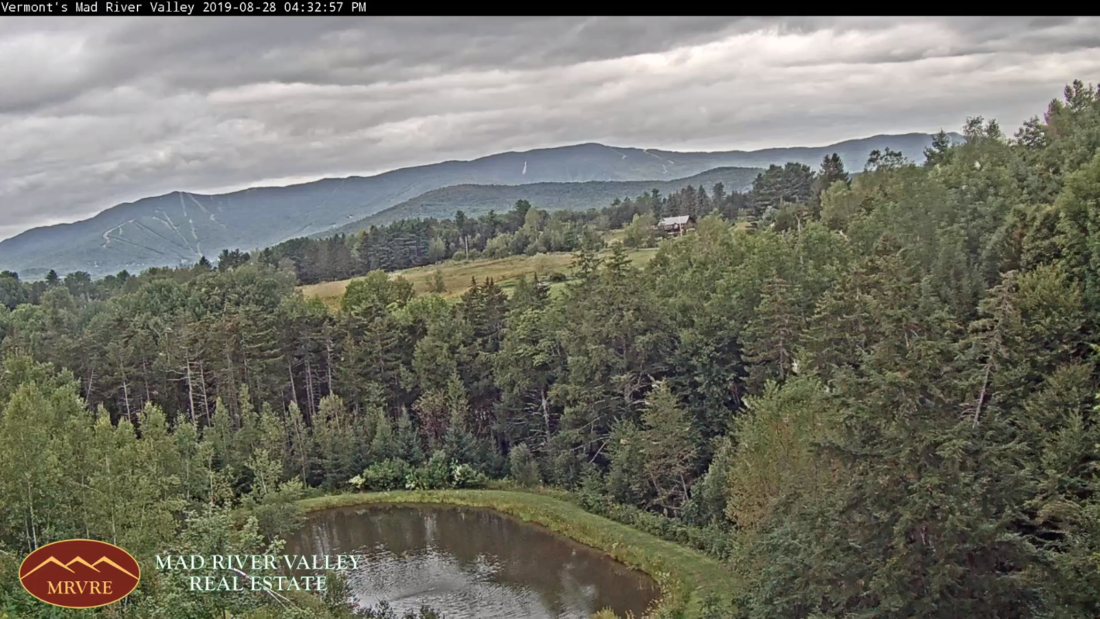
FRIDAY: Morning fog, then more clouds than sun with scattered light showers possible northern areas. A high in the mid to upper 60s.
SATURDAY: Morning clouds mixed with periods of afternoon sunshine. A low 45 to 50. A high in the upper 60s.
SUNDAY: Mostly cloudy, blustery and cooler. Chance for a few showers. A low around 50. A high in the mid 60s.
MONDAY: Partly to mostly sunny. A low around 45. A high in the lower 60s
Average lows in the upper 40s to mid 50s. Average highs close to 75
RH/9-4-19[end]