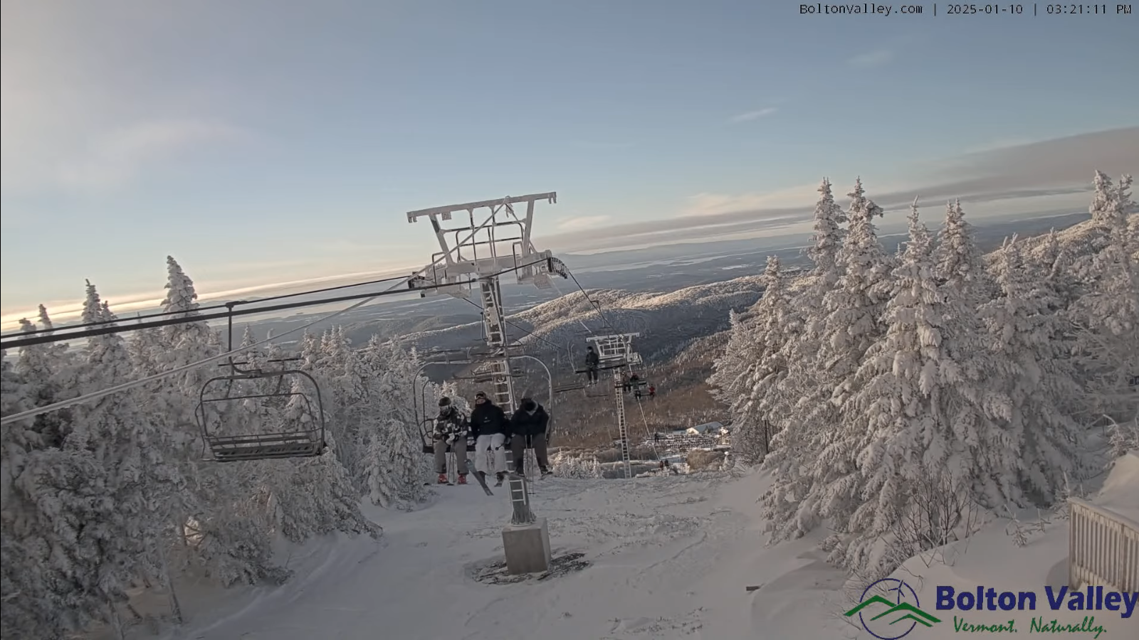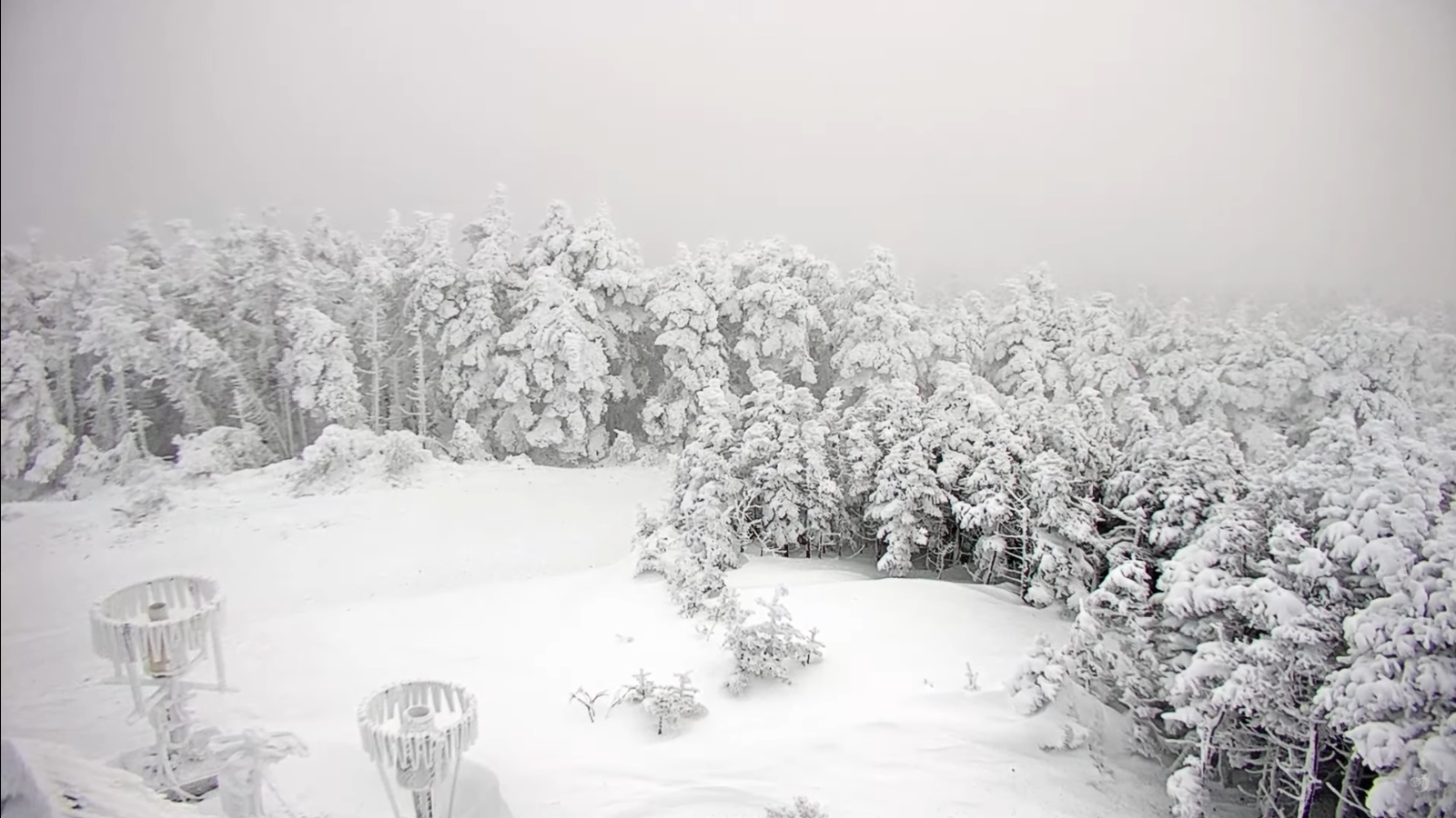
Roger Hill’s Radio Vermont Forecast 3:00 PM Wednesday 1-15-25
TONIGHT: Lots of clouds with a lingering flurry northern mountains, otherwise partly cloudy and moonlit. A low zero to 5 above. Light northwest winds.
TOMORROW: Considerable clouds with isolated flurries. Warming trend. A high 20 to 25. Light south winds.
THURSDAY NIGHT: Partly cloudy. Frigid. A low ranging zero to 10 above. Light south winds.
FRIDAY: Partly sunny.A high in the mid-20s. Light southwest winds.
Looking further ahead
FRIDAY NIGHT: Cloudy. A low mid-teens to low 20s
SATURDAY: Filtered sun then clouding up.Rising chance for accumulating snow showers or flurries, mixed with rain valley floors. A high around 35.
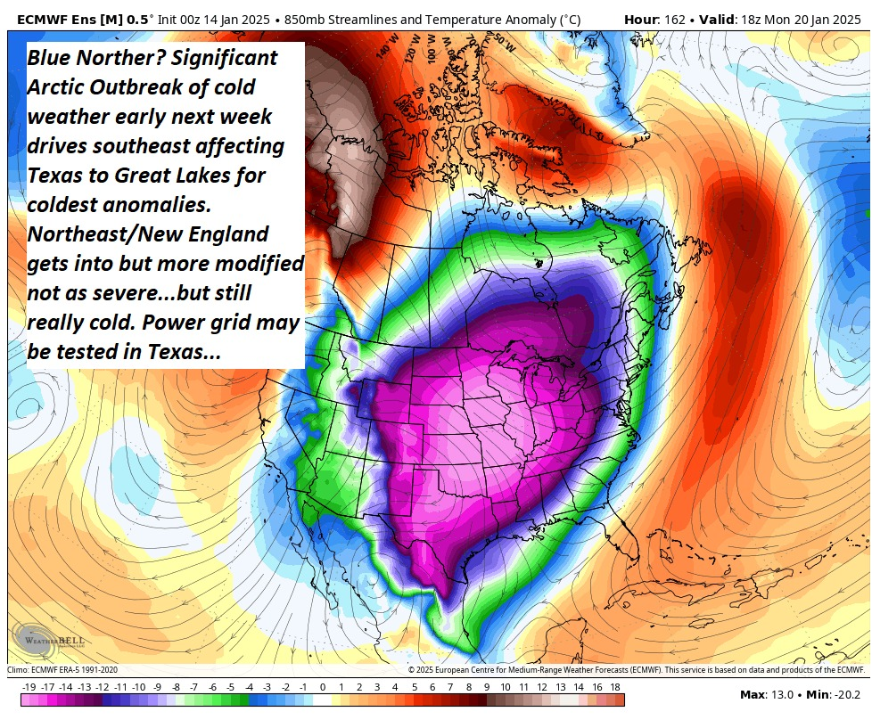
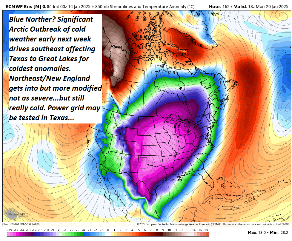
SUNDAY: Increasing clouds. Rising chances for light snow or flurries in the afternoon. A low 15 to 20. Start of a big cooling trend. A high near 25.
MONDAY: Morning clouds give way to increasingly sunny skies. A low zero to 5 above. A high only reaching near 10.
Average low ranging thru the single digits. Average high mid-20s to 30.
Peak Meteorological Winter 1-23-25
RH/1-15-25forecast][end]