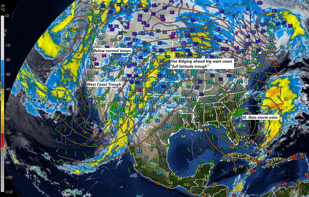
Winter Weather Advisory expires later this morning…
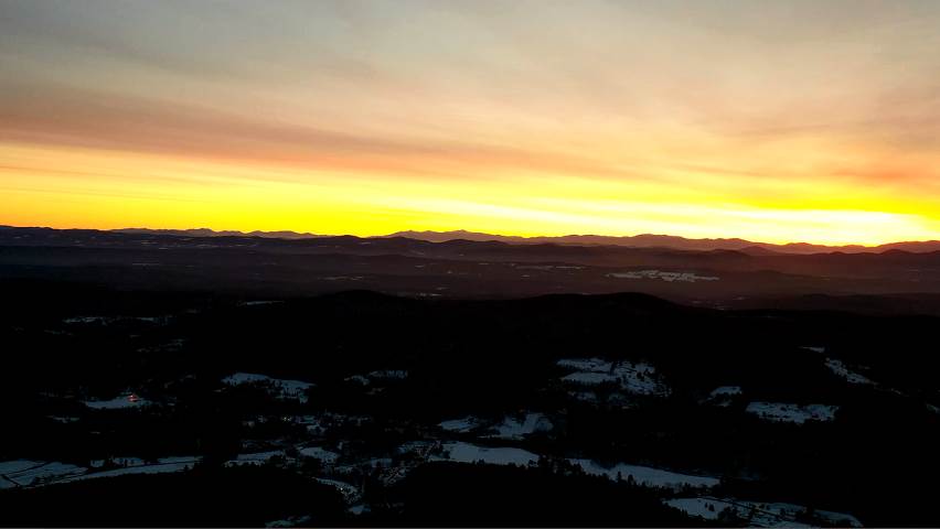
TODAY: Gray skies. Occasional light freezing rain showers with minor glazing through about mid-day pockets east of the Greens. Scattered rain showers this afternoon and milder. A high 40 to 45. South winds 10 mph.
TONIGHT: Widely scattered sprinkles mixing with wet snow flakes overnight across far northern areas. Watch for slick spots. Otherwise cloudy. A low mid-20s to around 30. Wind shifting to westerly 10 to 15 mph.
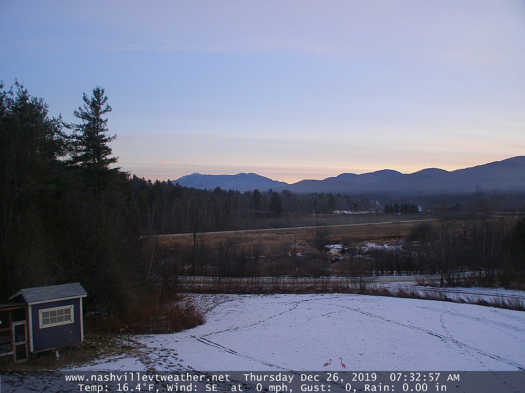
SATURDAY: Isolated morning flurries exit, then lots of sunshine. A high 35 to 40. Westerly breeze 10 to 15 mph.
Looking further ahead…
SATURDAY NIGHT: Mostly clear early then high cloudiness. A low 20 to 25.
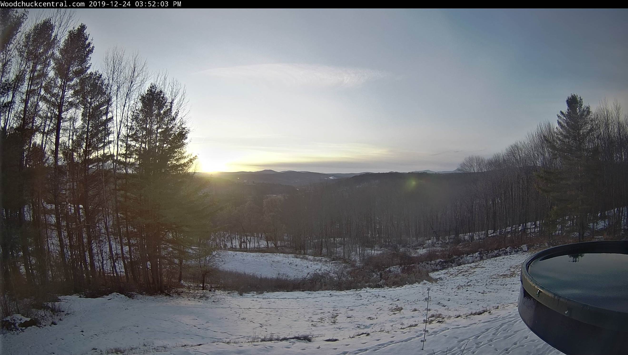
SUNDAY: Brief morning sun then clouding up. A high around 35.
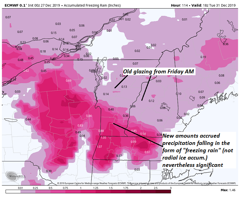
MONDAY: Gray. Chance for significant wet snow/mixed precipitation moderate at times. Several inches possible northern and central Vermont…with glazing southern areas likely affecting travel. A low 20 to 25. A high near 30.
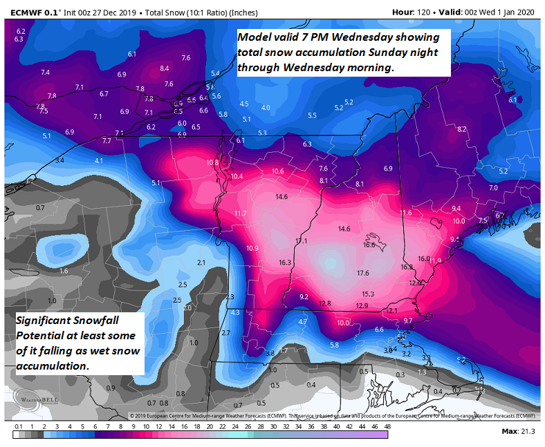
TUESDAY: Gray with a chance for periods of accumulating snow or snow showers with additional accumulation. A low in the upper 20s to around 30. A high in the low 30s.
WEDNESDAY NEW YEARS DAY: Mixed clouds and sun. Scattered snow showers or flurries. A low 20 to 25. A high near 32.
Average lows mid-single digits to mid-teens, average highs mid-20s to low 30s.
RH/12-27-19[end]