
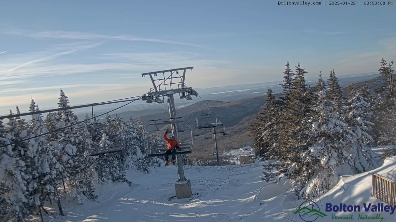
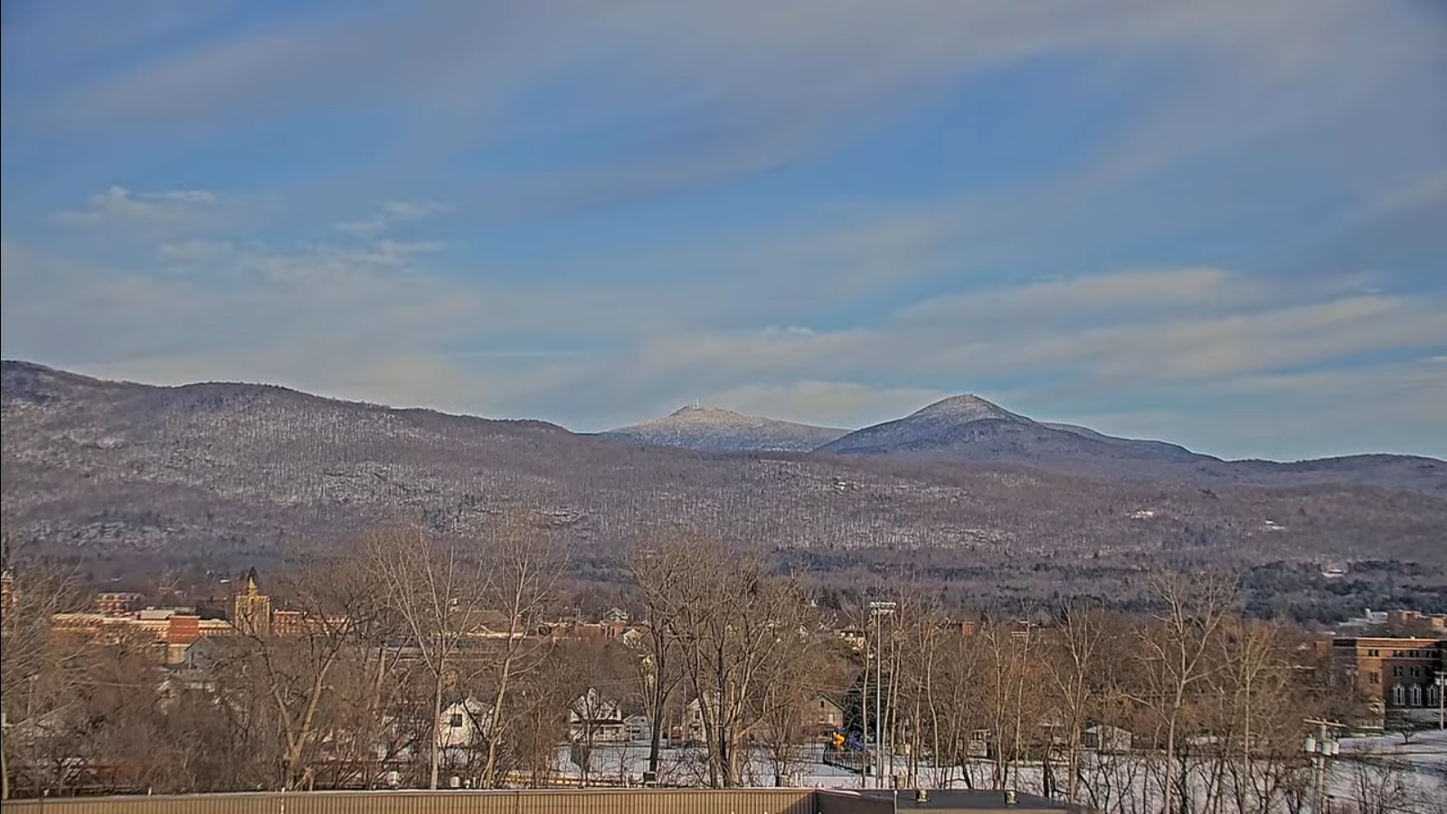
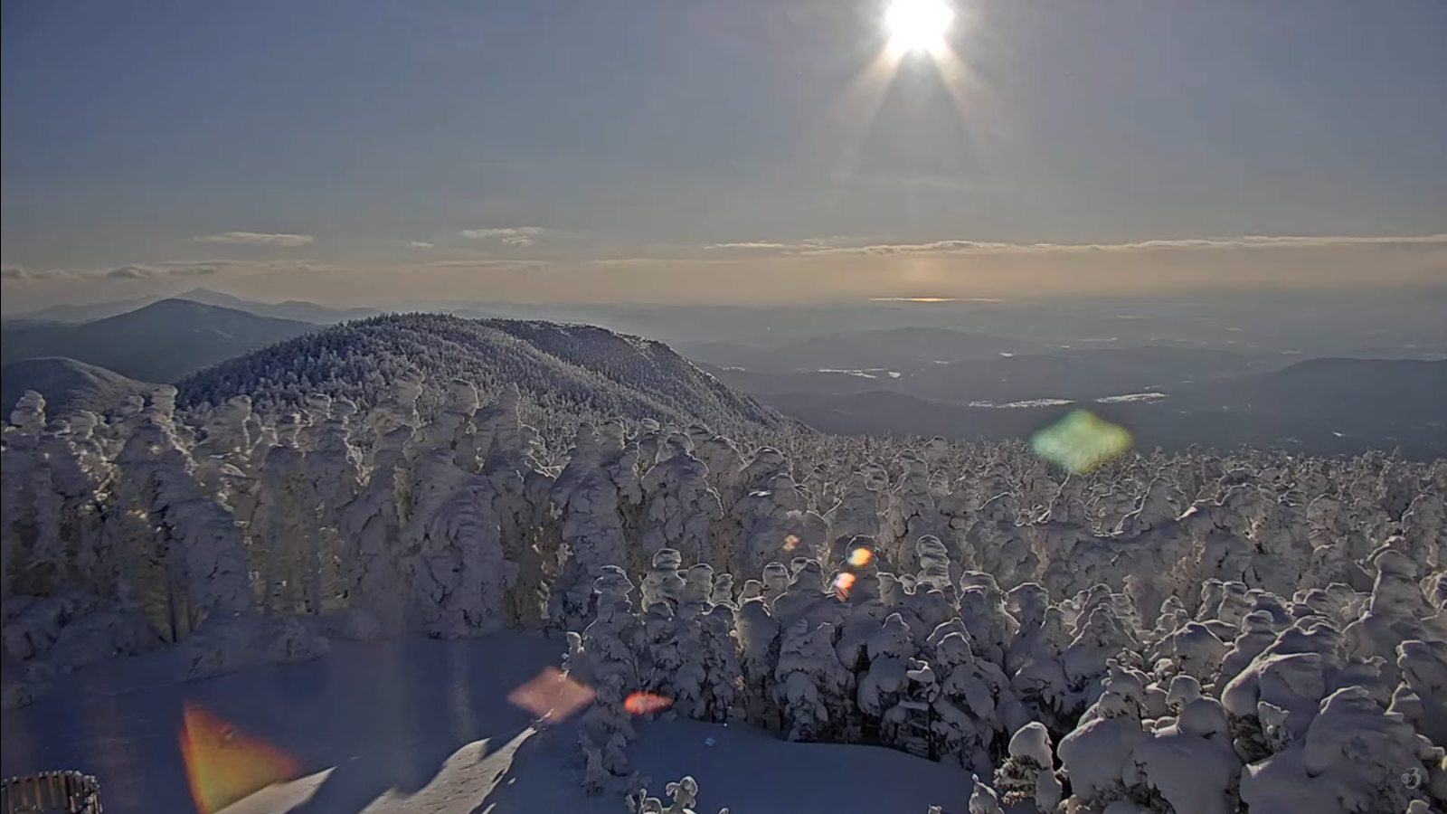
Tuesday Night Forecast — January 28th, 2025

Roger Hill’s Radio Vermont Forecast 3:00 PM Tuesday 1-28-25
TONIGHT: Fair then increasing clouds. Light accumulating snow or snow showers become likely before midnight. Accumulation up to 2 inches. An evening low 5 below to 5 above. South winds 10 mph.
TOMORROW: Gray.Occasional light snow or flurries. Additional accumulations of 1 to locally 3 inches.Highs ranging mid-20s north and close to 30 central and south. Light winds become northwesterly 10 mph in the afternoon.

WEDNESDAY NIGHT: A few leftover flurries early with a dusting, then partial clearing. A low 5 below to 5 above. South winds 10 to 15 mph.
THURSDAY: A few mountain clouds with periods of sunshine.Blustery at times.A high around 15. West to northwest winds 10 to 25 mph with some blowing and drifting.
Looking further ahead
THURSDAY NIGHT: Becoming partly to mostly cloudy. An early low zero to 5 above.
FRIDAY: A few flurries early with a light coating in spots.Otherwise some intervals of sun before more clouds, with another chance for light wet snow accumulation developing in the afternoon.A high mid-30s to near 40.
SATURDAY: A few morning clouds and stray flurries, then partly to mostly sunny. Frigid. Temperatures holding in the single digits.

SUNDAY: Filtered sun though high clouds, thickening up in the afternoon. A low minus 5 to minus 15. A high 10 to 15.
Average low ranging low single digits to low teens. Average high mid-20s to low 30s.
RH/1-28-25forecast][end]
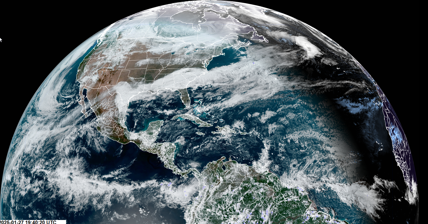
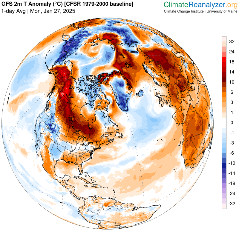
Updated Monday Night Forecast — January 27th, 2025
Roger Hill’s Radio Vermont Forecast 3:00 PM Monday 1-27-25
TONIGHT: Clouding up. Chance for snow showers or flurries developing. A dusting to an inch far north. Low in the upper teens around 20. Blustery at times. Southwest winds 10 to 20 mph.
TOMORROW: Snow showers with a risk of a snow squall or two drying up late morning on. Less than an inch.Increasing afternoon sunshine.Sharply colder with temperatures falling into the single digits.Winds shifting southwesterly to northwest 10 to 20 mph, with some blowing and drifting and lowered wind chills.
TUESDAY NIGHT: Partly cloudy early before more clouds. A rising chance for light accumulating snow showers or flurries. Minor accumulation. An evening low 5 below to 5 above. Light south winds.
WEDNESDAY: Gray.Occasional light snow or flurries. Accumulations of 1 to 2 inches.Highs ranging thru the teens north and 25 to 30 central and south. Light winds become northwesterly 10 mph in the afternoon.
Looking further ahead
WEDNESDAY NIGHT: Scattered flurries with a dusting, then partial clearing. A low ranging 5 below to 10 above.
THURSDAY: Clouds with periods of afternoon sunshine.A high in the mid-teens.
FRIDAY: Mostly gray with a chance for light snow showers. Some accumulation.A low near zero. A high near 35.
SATURDAY: A few clouds, then mostly sunny. A low 10 below to 5 above. A high in the single digits.
Average low ranging low single digits to low teens. Average high mid-20s to low 30s.
RH/1-27-25forecast][end]
Sting Jet bomb blasted the Uk today. Scary stuff unbelievable pressure drop — Extreme Weather…hitting Cat 4. equivalent wind gusts – Freaky and not good. Great video by Paul Beckwith
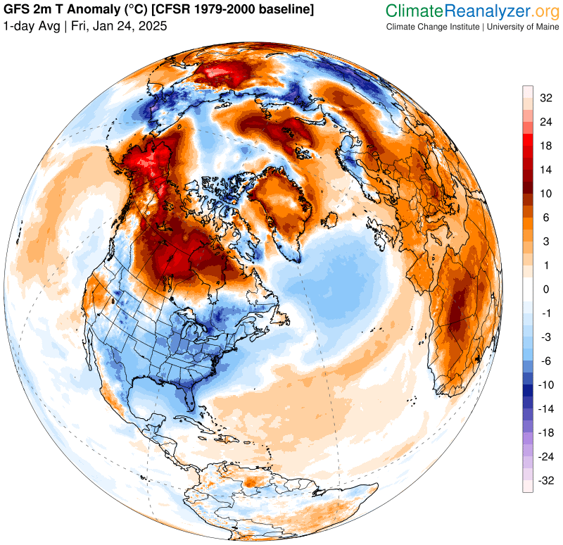
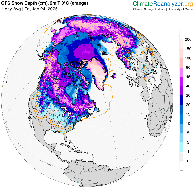
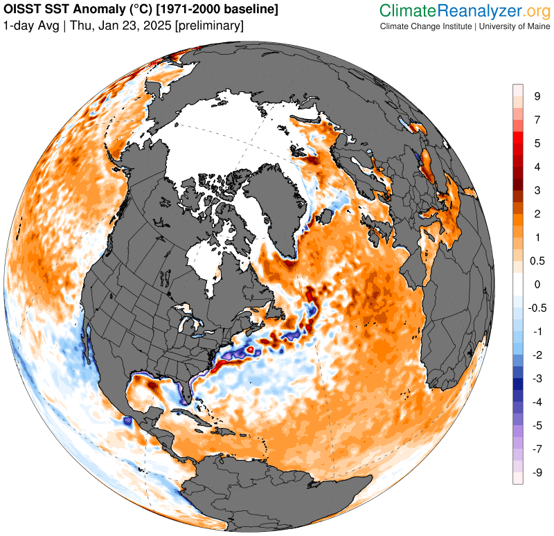
Updated Friday Night Weather — January 24th, 2025
Roger Hill’s Radio Vermont Forecast 3:00 PM Friday 1-24-25
TONIGHT: Clear. Rather cold. A low ranging 10 below to 5 above. Light winds.
TOMORROW: Morning sun gives way to some afternoon clouds. A high in the low 20s. Light southwest winds.
SATURDAY NIGHT: Mostly cloudy. Maybe a snow flake or two late. A low ranging 5 to 15. Light southwest winds stronger near Lake Champlain.
SUNDAY: Clouds mixing with intervals of sun and blustery at times. Scattered snow showers or flurries – risk for a snow squall. Dusting to less than an inch Seasonable temperatures. A high upper 20s near 30. Southwest winds shifting to westerly 10 to 25 mph and gusty.
Looking further ahead
SUNDAY NIGHT: Partly cloudy with a few lingering flurries central and northern areas. A low about 15
MONDAY: Chance for flurries far north, otherwise partial afternoon sunshine. A high upper 20s to near 30.
TUESDAY: Mostly cloudy. Chance for accumulating snow showers and a risk for snow squalls giving way to afternoon sun, blustery & sharply colder. An early high in the 20s, then sharply colder falling through the teens and single digits.
WEDNESDAY: Gray. Rising chance for accumulating snow, maybe moderate at times. A low zero to 10 below. A highs just low teens.
Average low ranging thru the single digits. Average high mid-20s to low 30s.
RH/1-24-25forecast][end]
Updated Wednesday Night Forecast — January 22nd, 2025
Roger Hill’s Radio Vermont Forecast 3:00 PM Wednesday 1-22-25
TONIGHT: Thickening clouds. A flurry or two far north toward daybreak. An evening low 5 below to 5 above. Light south winds, gusty near Lake Champlain.
Half way point of Meteorological Winter 1-23-25
TOMORROW: Clouds with periods of afternoon sun. Scattered flurries northern areas. A high around 20. Light south winds, gusty near Lake Champlain.

THURSDAY NIGHT: Variable cloudiness. A few flurries north. A low zero to 10 above. Light southwest winds.
FRIDAY: Scattered flurries, with a dusting far north, otherwise clouds mixing with some sun.A high 15 to 20. Northwest winds picking up 10 to 15 mph late morning on.
Looking further ahead

FRIDAY NIGHT: A few evening flurries then partial clearing after midnight. A low ranging 5 below to 5 above.
SATURDAY: Mixed clouds and intervals of sun. A high in the low 20s.
SUNDAY: Predominantly cloudy. A rising chance for light snow showers or flurries. Dusting to an inch or so. Seasonable temperatures. A low ranging 5 to 15. A high upper 20s near 30.
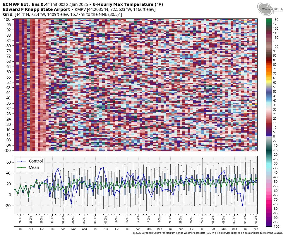
MONDAY: Lots of clouds with a stray snowflake or two, then partial late day clearing. A low about 15. A high 25 to 30.
Average low ranging thru the single digits. Average high mid-20s to low 30s.

RH/1-22-25forecast][end]
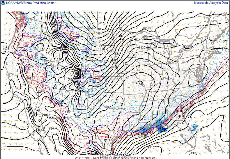
Updated Tuesday Night Forecast — January 21st, 2025

Roger Hill’s Radio Vermont Forecast 3:00 PM Tuesday 1-21-25
TONIGHT: Some northern mountain clouds early, then mostly clear & partially moonlit skies. A low zero to 15 below. Light southwest winds.
TOMORROW: Bright sunshine but continued cold, with high 10 to 15. Light west winds.

WEDNESDAY NIGHT: Increasingly cloudy. Maybe a flurry far north around daybreak. An evening low 5 below to 5 above. Light south winds, stronger Lake Champlain.
Peak or half way point of Meteorological Winter 1-23-25
THURSDAY: Clouds with a few intervals of sun. Scattered flurries northern border. A high near 20. Light south winds, stronger Lake Champlain.

Looking further ahead
THURSDAY NIGHT: Mostly cloudy north and western areas. Stray flurries late, otherwise partly cloudy. A low single digits.
FRIDAY: Scattered flurries, winding down early afternoon with minor accumulation far north, otherwise lingering clouds.A high 15 to 20.
SATURDAY: Mixed clouds and intervals of sun. A low ranging 10 below to 5 above. A high 20 to 25.
SUNDAY: Predominantly cloudy. A rising chance for light snow showers or flurries. Minor accumulation northern areas. A low 10 to 15. A high pushing toward 30.
Average low ranging thru the single digits. Average high mid-20s to low 30s.
RH/1-21-25forecast][end]
Feelin quite cold in southern Trumpistan with all that cold arctic air that our “free” Canadian neighbors sent southward. But whatcha gonna do? Ban cold air? Rename it? Pretend it doesn’t exist? GFY’s
Updated Monday Night Forecast — January 20th, 2025
Roger Hill’s Radio Vermont Forecast 3:00 PM Monday MLK JR. Day1-20-25
TONIGHT: Down-wind lake effect clouds and snowflakes northern areas, otherwise mostly clear and partially moonlit. Below normal in temperature. A low zero to 10 below. Little wind becoming light southwesterly.
TOMORROW: Bright sun and blue skies…then few more clouds in the afternoon & a snowflake or two northern areas. A high in the low teens. West to southwest winds 10 mph.

TUESDAY NIGHT: Scattered clouds near Quebec border, otherwise mostly clear and partially moonlit. A low 5 to 15 below. Light southwest winds.
WEDNESDAY: Bright sun and blue skies, with high 10 to 15. Light west winds.
Looking further ahead
WEDNESDAY NIGHT: Increasingly cloudy. Maybe a flurry around daybreak far north. A low zero to 10 below.

Peak or half way point of Meteorological Winter 1-23-25
THURSDAY: Clouds with a few intervals of sunshine. Scattered mainly northern snow showers or flurries with minor accumulation. A high around 20.
FRIDAY: Morning clouds with stray flurries, then partly to mostly sunny.A high upper teens.
SATURDAY: Mixed clouds and intervals of sun. A low 5 below to 10 above. A high in the low 20s.

Average low ranging thru the single digits. Average high mid-20s to low 30s.
RH/1-20-25forecast][end]
Updated Friday Night Forecast — January 17th, 2025

TONIGHT: Clouds, with a few stray snowflakes, gives way to breaks of moonlight. A low upper teens around 20. South winds 10 mph stronger near Lake Champlain.
TOMORROW: Filtered early brief sun, then overcast.Good chance for accumulating wet snow showers or flurries, mixed with rain valley floors developing later in the day. A high around 35. South winds 10 to 15 mph stronger Lake Champlain.
SATURDAY NIGHT: Overcast. Occasional snow showers mixed with rain at times valleys. Less than a slushy inch. A low 15 to 20. Winds become northwesterly 10 to 15 mph lowering wind chills. .
SUNDAY: Breaks of sun then thickening clouds. Rising chances for light snow or flurries developing late. Sharply colder. An early high in the mid-teens. Light northwest winds.

Looking further ahead
SUNDAY NIGHT: Overcast. Periods very light fluffy snow accumulation. Rather cold. A low 5 below to 5 above.
MONDAY: Becoming sunny. Frigid. The beginning of an arctic outbreak. A high only in the upper single digits.
TUESDAY: Sunny except for northern mountain clouds and flurries. A low 10 to 20 below. A high 5 to 10 above.

WEDNESDAY: Sunshine except for northern mountain clouds and flurries.A low 10 to 20 below with highs upper single digits.
Average low ranging thru the single digits. Average high mid-20s to 30.
Peak Meteorological Winter 1-23-25

RH/1-17-25forecast][end]
