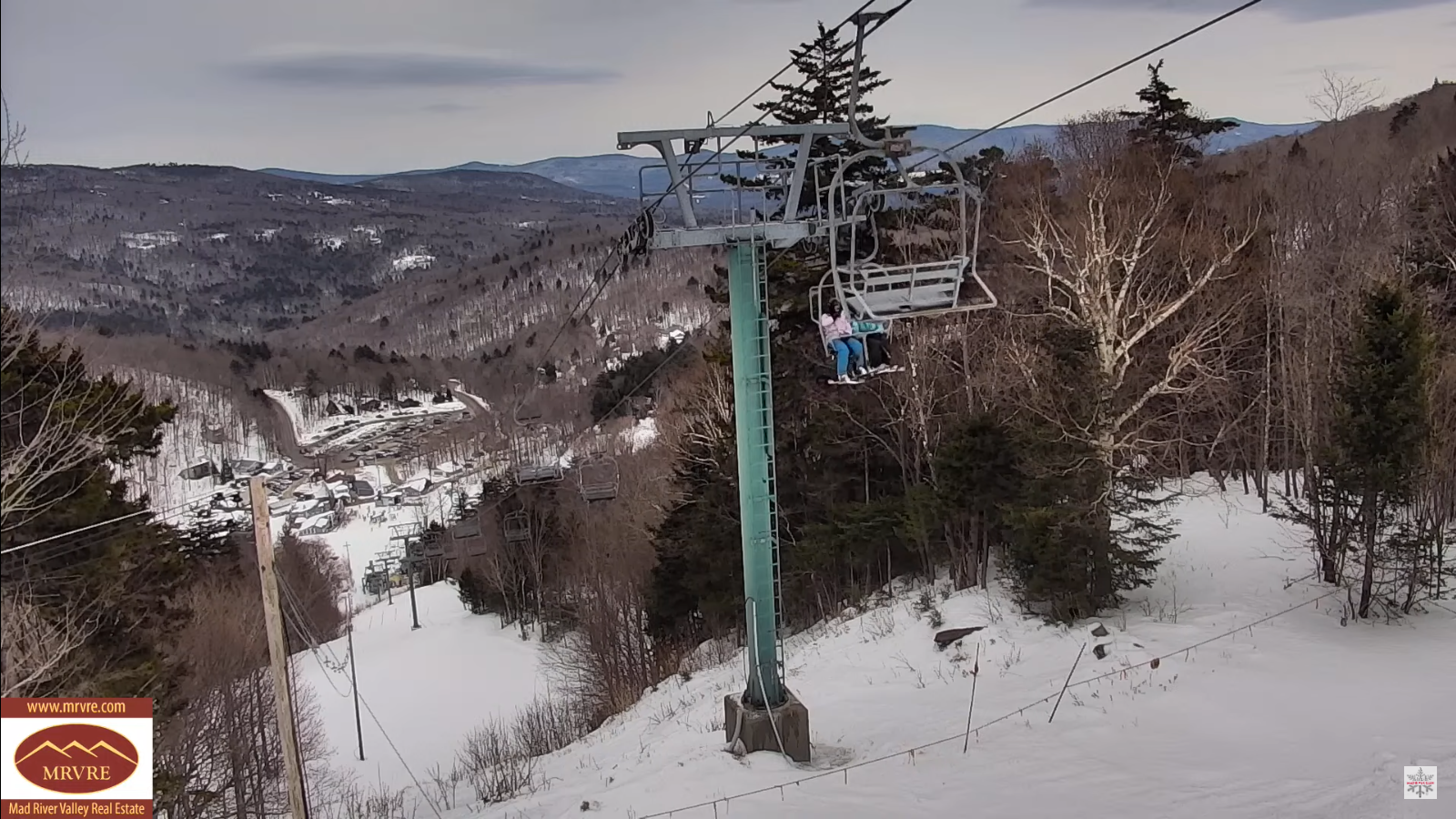
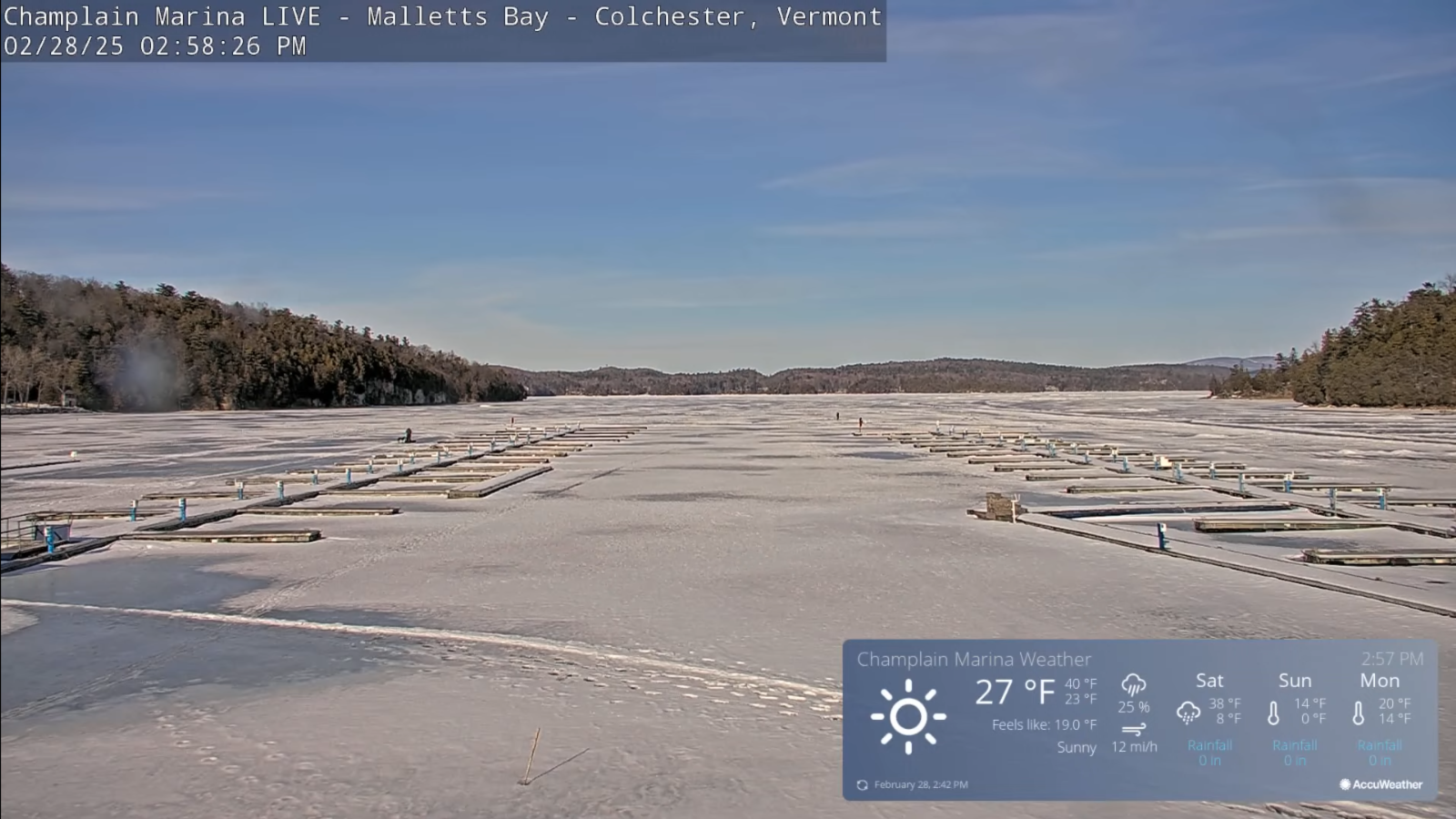
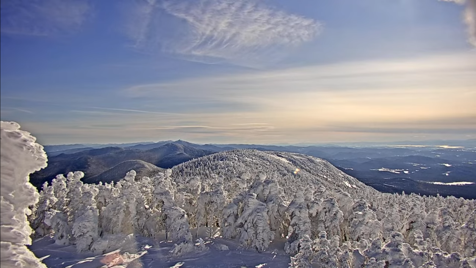
Roger Hill’s Radio Vermont Forecast 3:00 PM TUESDAY 3-18-25
TONIGHT: Mostly clear with some cloudiness north later overnight.A low around 30. Light south winds.

TOMORROW: Sunshine becoming filtered through high clouds. Very mild and breezier. A high pushing near 65. Southeast breeze 10 to 15 mph.
WEDNESDAY NIGHT: Mostly cloudy. A low in the mid-30s. Southeast winds 10 mph stronger Lake Champlain.
THURSDAY: Clouds with breaks of sun. A high mid to upper 50s. Southeast breeze 10 to 20 mph and stronger near the lake.

Looking further ahead
THURSDAY NIGHT: Thickening clouds. Chance for rain showers mixing with wet snow overnight. An inch or 2 possible. A low upper 20s around 30.
FRIDAY: Morning clouds with stray leftover flurry, then mostly sunny, Blustery to windy and sharply colder. Highs near 35.

SATURDAY: Brief morning sun then mostly cloudy. Chance for rain showers mixing with wet snow Saturday night with a light coating. A low 20 to 25. A high upper 40s.
SUNDAY: Leftover morning clouds, then bright sunshine. A low around 25. A high 32 to 35.
Average low: ranging upper teens to mid-20s. Average high upper 30s to mid-40s.

RH/3-17[forecast][end]