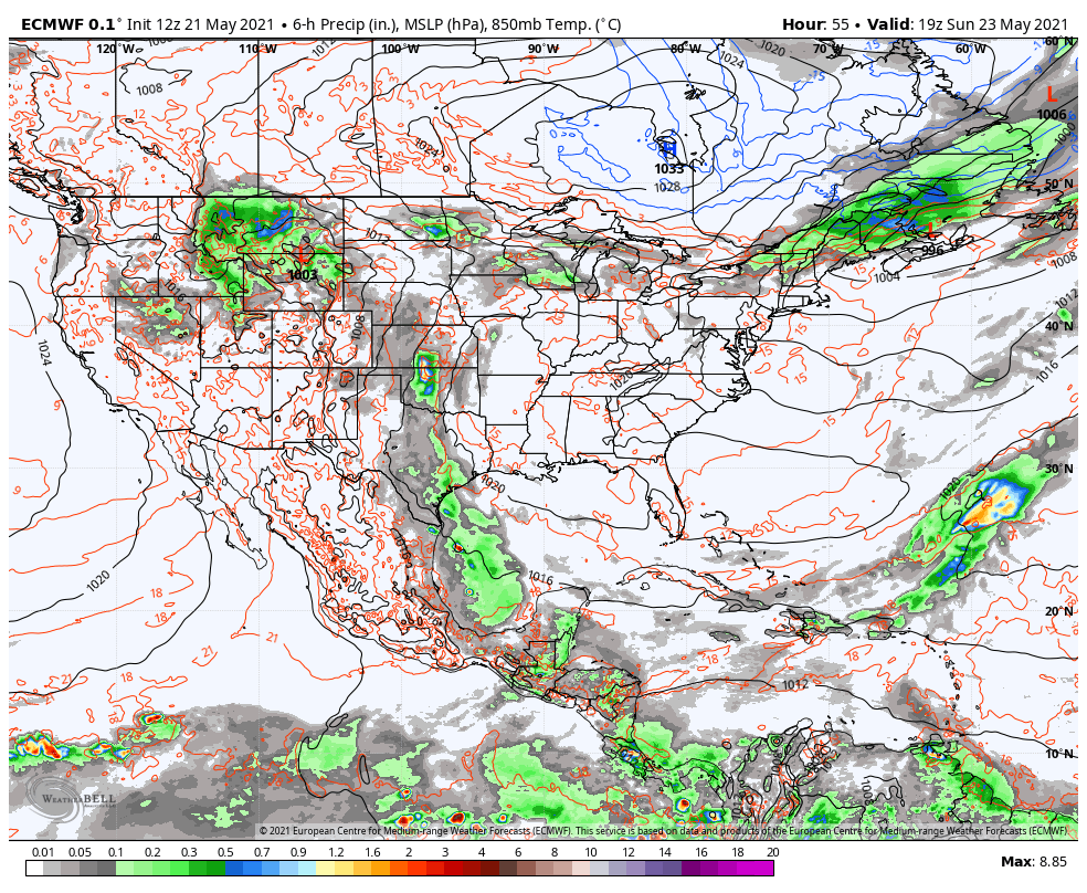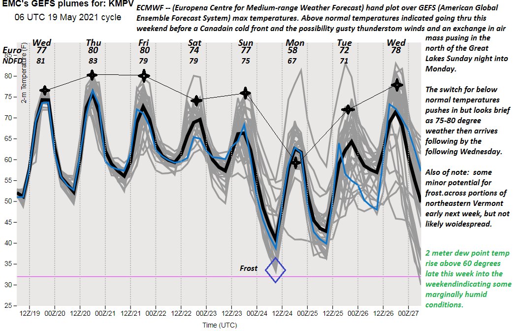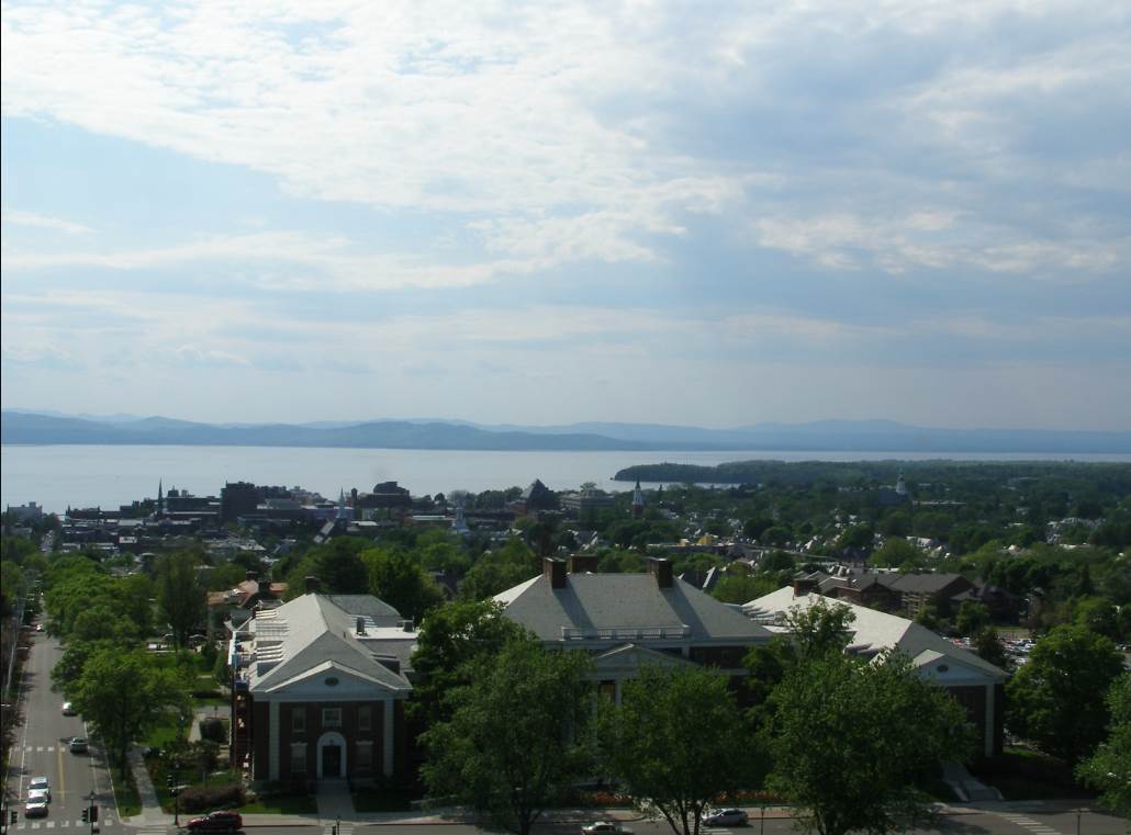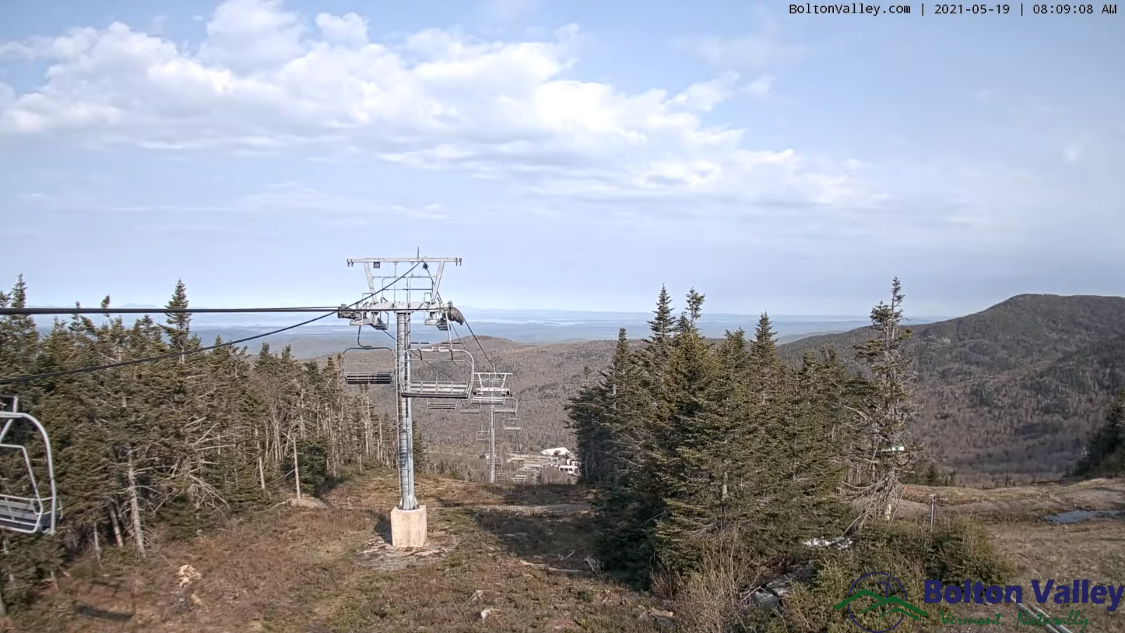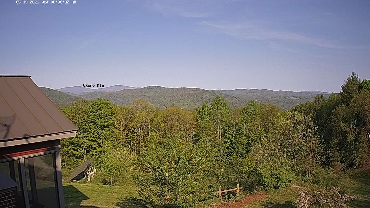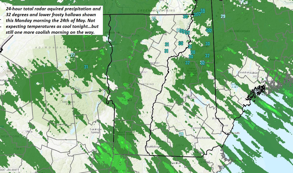
TODAY: Patchy valley fog burns off to a beautiful day. Bright sunshine, a few high clouds and comfortable conditions. A high around 70. Light southwest winds.
TONIGHT: Mostly clear with patchy high cloudiness. Cool. A low mid to upper 40s. Light south winds.
TUESDAY: Partly sunshine with mainly high cloudiness. Slightly more humid late with a high pushing to near 80. South to southwest breeze 10 to 15 mph.
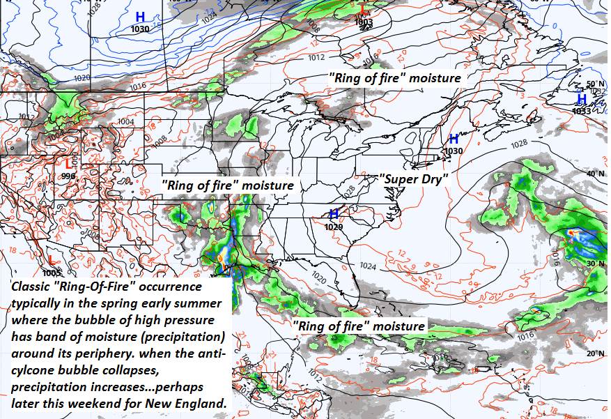
Looking further ahead…
TUESDAY NIGHT: Partly cloudy. Maybe an evening shower Champlain Valley, otherwise dry. A low 50 to 55.
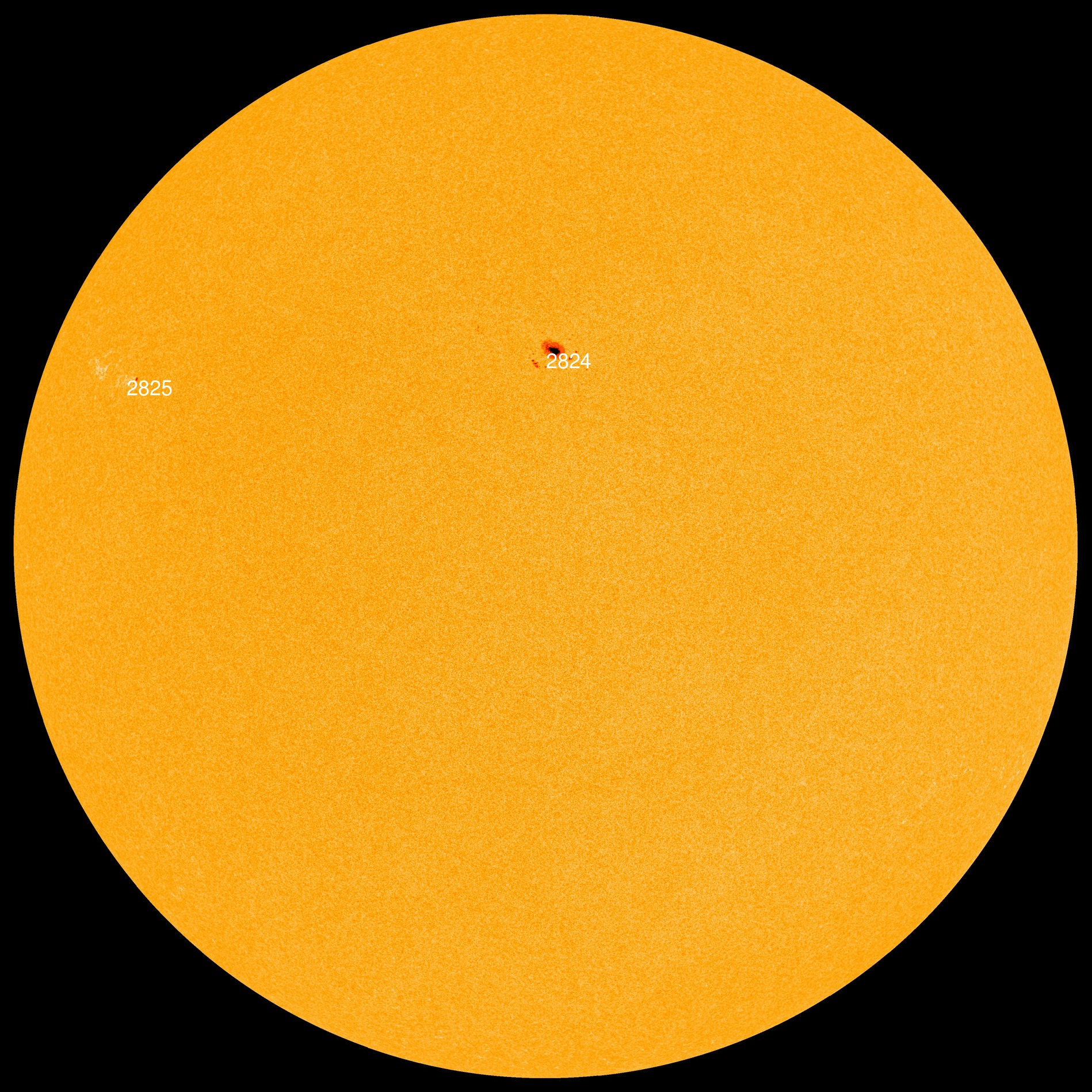
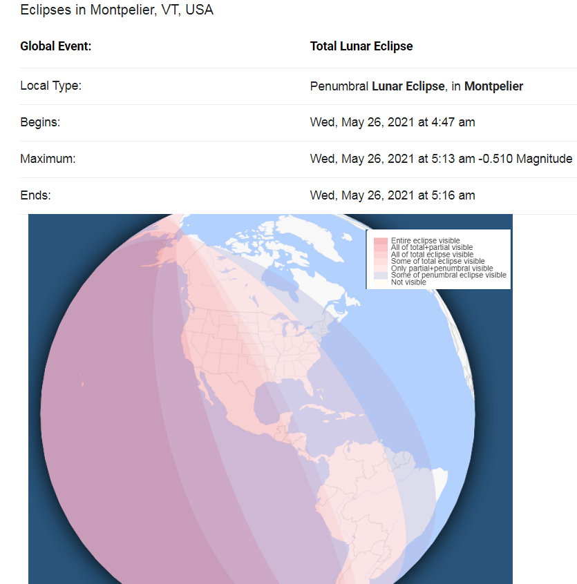
Full Flower Moon May 26th 7:14 AM
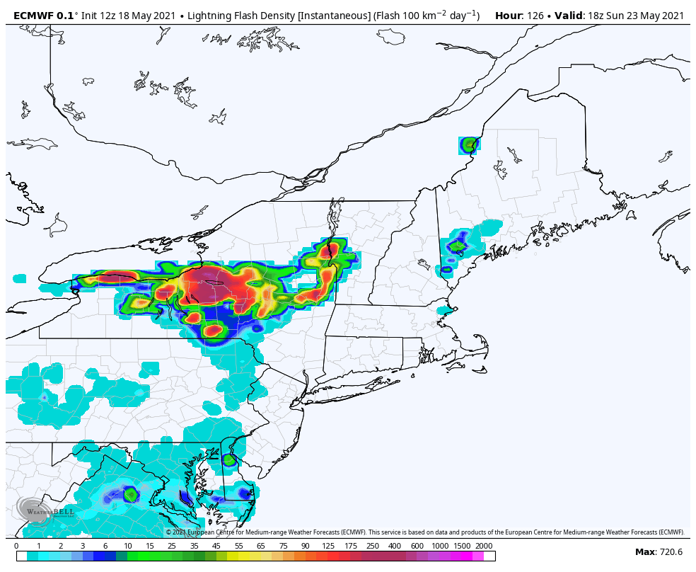
WEDNESDAY: Sun and clouds & increasingly warm & muggy. Scattered afternoon & evening showers and thunderstorms. A high 80 to 85.
THURSDAY: Chance for an early shower…otherwise clouds mixed with periods of sunshine. Less humid and cooler. A low 50 to 55. A high around 70.
FRIDAY: Mostly clear with variable high cloudiness. A low near 40. A high in the low to mid 60s.
Average low mid-40s to around 50. Average highs upper 60s to lower 70s.
Start of Meteorological Summer June 6th… Summer peaks approx.. July 22nd based off local climatology.
RH/5-24forecast][end]