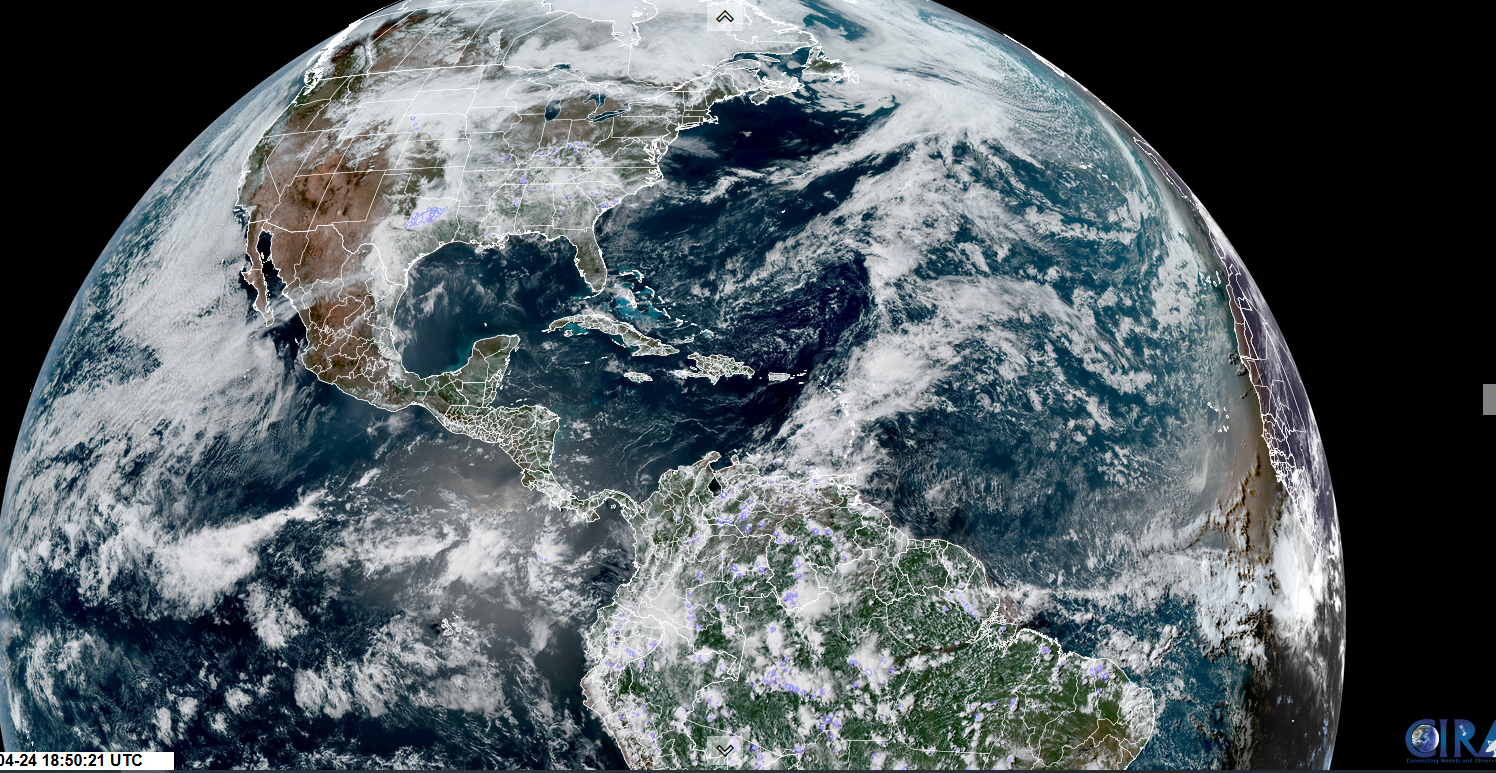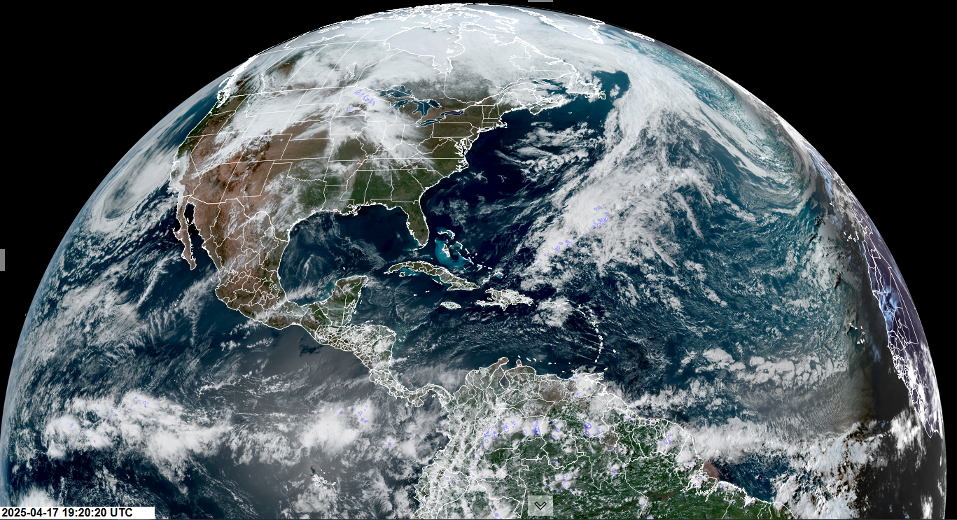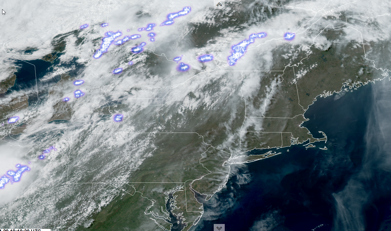
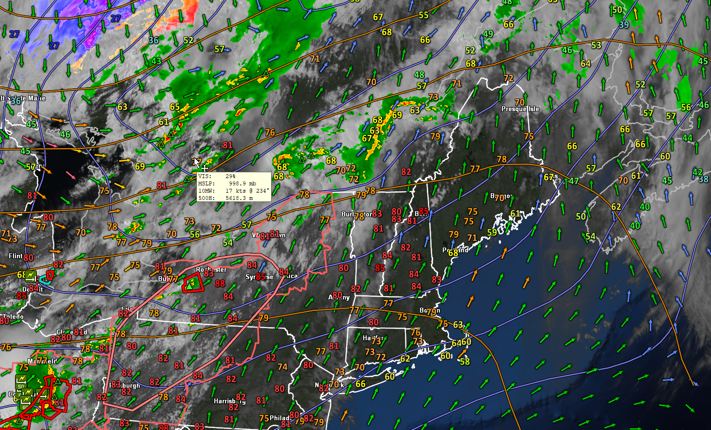
Roger Hill’s Radio Vermont Forecast 3:00 PM TUESDAY 4-29-25
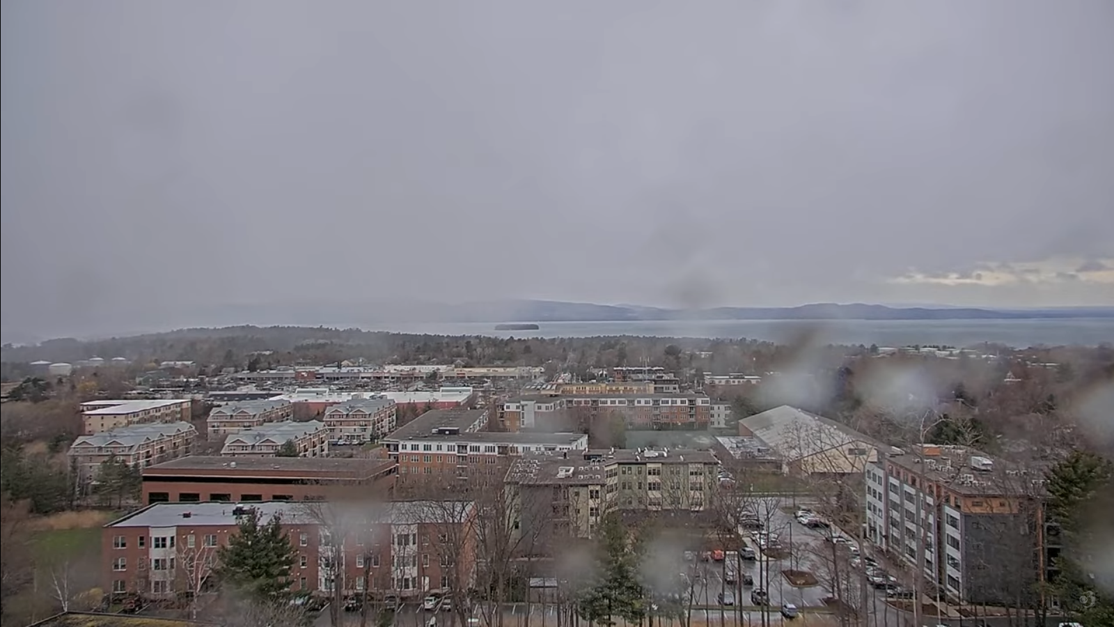
TONIGHT: Partly to mostly cloudy. A bit muggy this evening with Showers and thunderstorms, some possibly strong to severe northern and western areas exiting overnight. A low upper 30s. Southwest winds shifting to northwesterly overnight 10 to 20 mph.
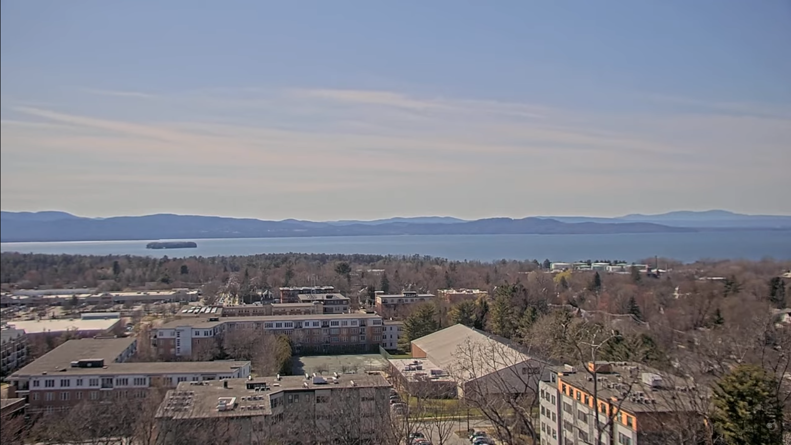
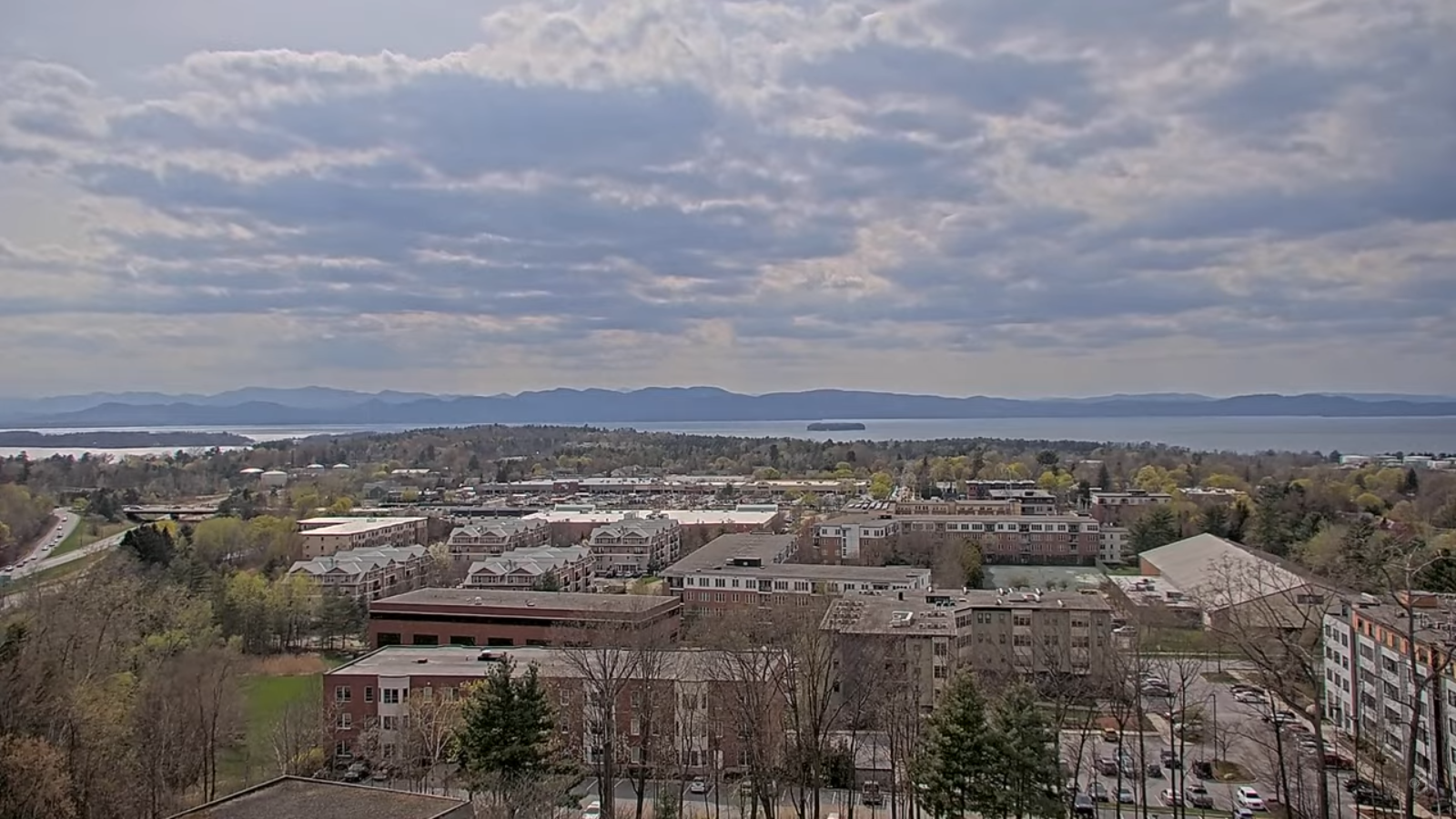
TOMORROW: Bright sun and blue skies. Blustery & chilly with a high about 50. Northwesterly winds 10 to 15 mph.
WEDNESDAY NIGHT: Mostly clear with some high cloudiness.A low 30 to 35, with areas of frost. Light northwest winds.
THURSDAY: Brief morning sun then lots of clouds. A high near 65.Light south winds.
Looking further ahead
THURSDAY NIGHT: Overcast. A rising chance for showers. A low 45 to 50.

FRIDAY: Partly sunny.Chance for afternoon showers and thunderstorms…some potentially strong to severe.A bit muggy with a high in the low 70s.
SATURDAY: Cloud with intervals of sun early, then mainly gray. Rising chance for rain or showers…moderate at times developing in the afternoon. A low 45 to 50. Highs 55 to 60.
SUNDAY: Chance for lingering showers southern areas exiting, otherwise mainly gray. A low around 45. Highs upper 50s to mid-60s.
Average low: range mid-30s to around 40 rising rapidly. Average highs: 60 to 65 & slowly rising
RH/4-28[forecast][end]