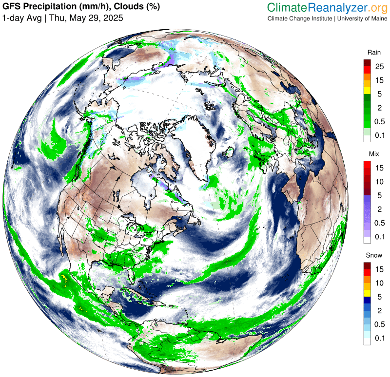
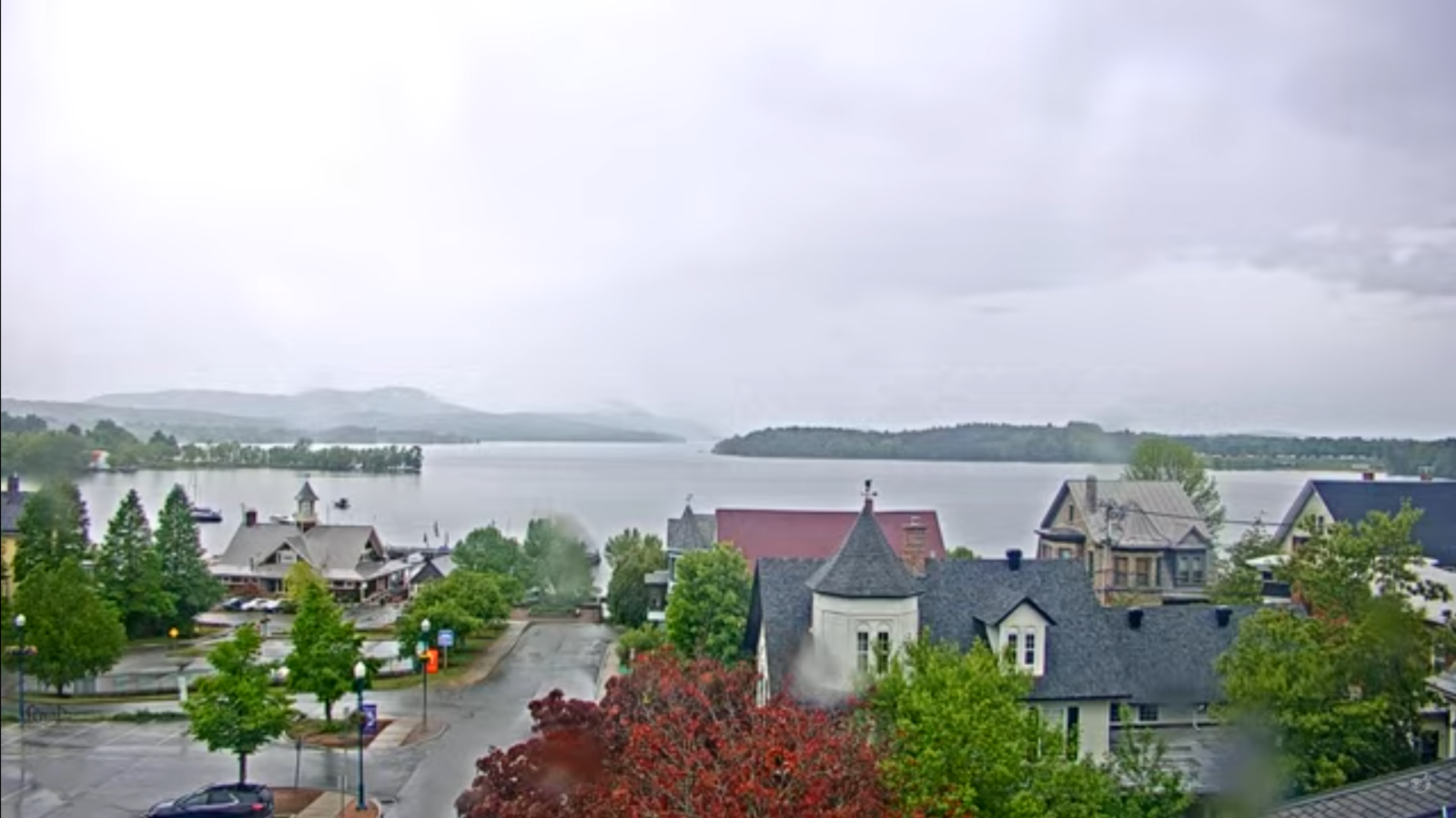
Roger Hill’s Radio Vermont Forecast 3:00 PM THURSDAY 5-29-25
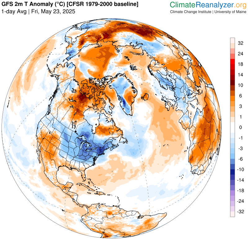
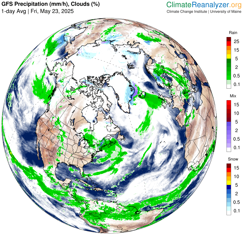
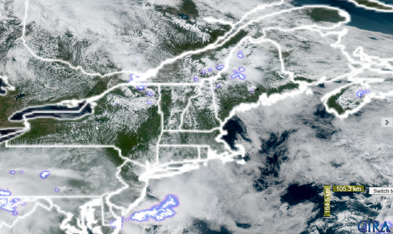
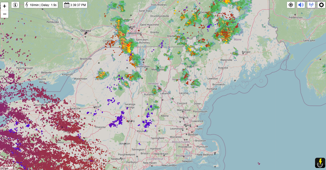
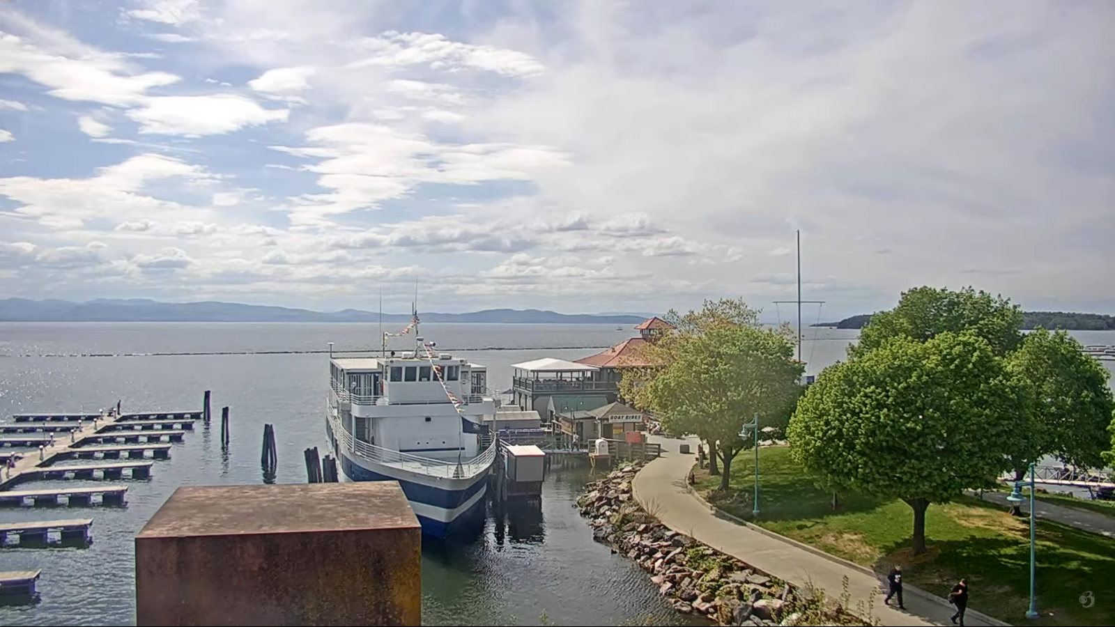
TONIGHT: Partly to mostly cloudy. Patchy valley fog. Widely scattered showers mainly northern areas, isolated otherwise. A low 50 to 55. Light southwest winds.

TOMORROW: Clouds, intervals of sunshine. Widely scattered showers or sprinkles. Slight chance for a rumble of thunder. A high in the upper 60s. Southwest winds 10 mph.
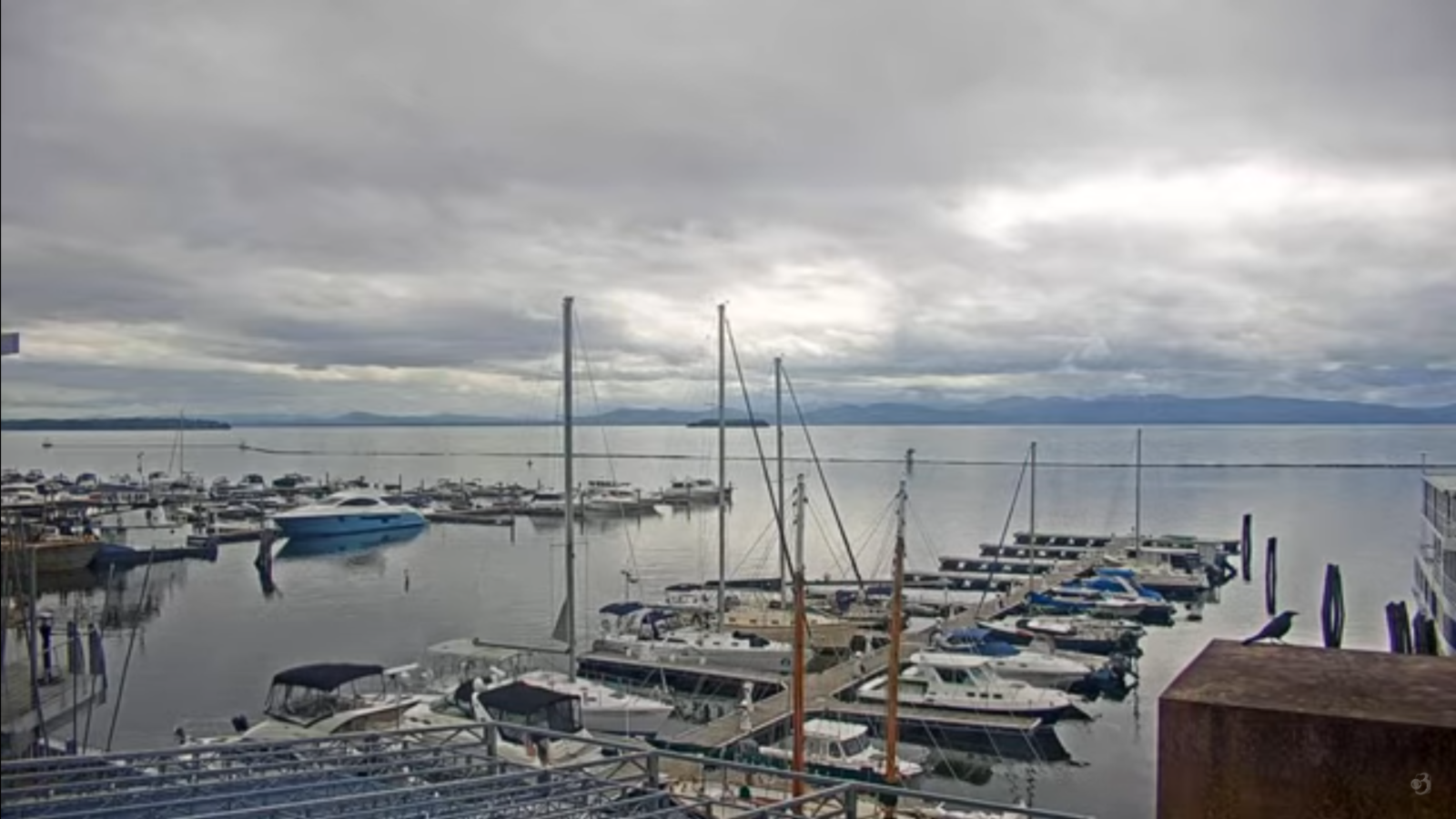
FRIDAY NIGHT: Cloudy. Showers or periods of rain becoming likely later overnight. Areas of fog. A low 50 to 55. Light east winds.

SATURDAY: Gray. Showers or periods of rain likely…moderate at times…maybe a rumble of thunder far south. A high in the upper 50s. Winds shifting to north to northwesterly 10 to 15 mph.
Looking further ahead
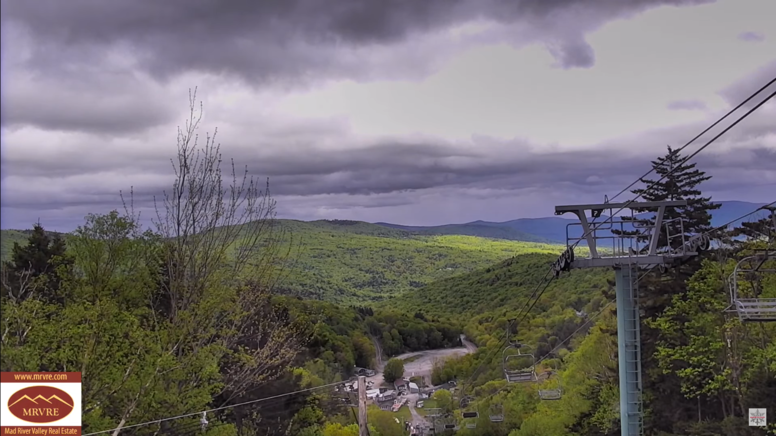
SATURSDAY NIGHT: Considerable cloudiness. Widely scattered showers dry up for a time but return toward daybreak. Areas of fog. A low around 45.
SUNDAY: Mainly gray. Chance for showers…mainly in the morning, drying up in the afternoon. Rather damp and cool. A high near 55.
MONDAY: Clouds with late day intervals of sun. An isolated shower or thunderstorm. Lows in the mid to upper 40s. Highs 60 to 65.
TUESDAY: A beauty – Partly to mostly sunny. Pleasant. A low 40 to 45. A high in the lower 70s.
WEDNESDAY: Sunshine with a few high clouds. Milder. Lows in the 50s. A tad more humid. Highs 75 to 80.
Average low: low to mid-40s. Average highs: upper 60s to mid-70s.
Start of Meteorological Summer June 6th. (Warmest 90 days climatology)
Summer Solstice June 20th 10:41 PM EDT
Peak of Meteorological Summer July 22nd.
RH/5-27[forecast][end]