Updated Thursday morning Forecast — November 18th, 2021

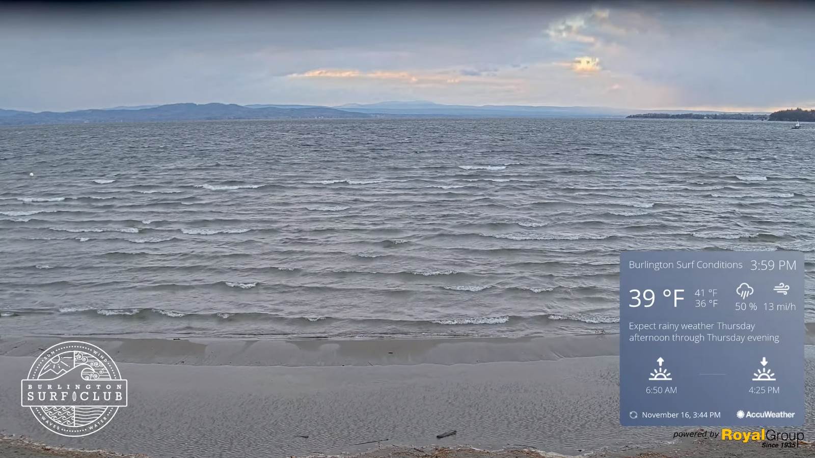
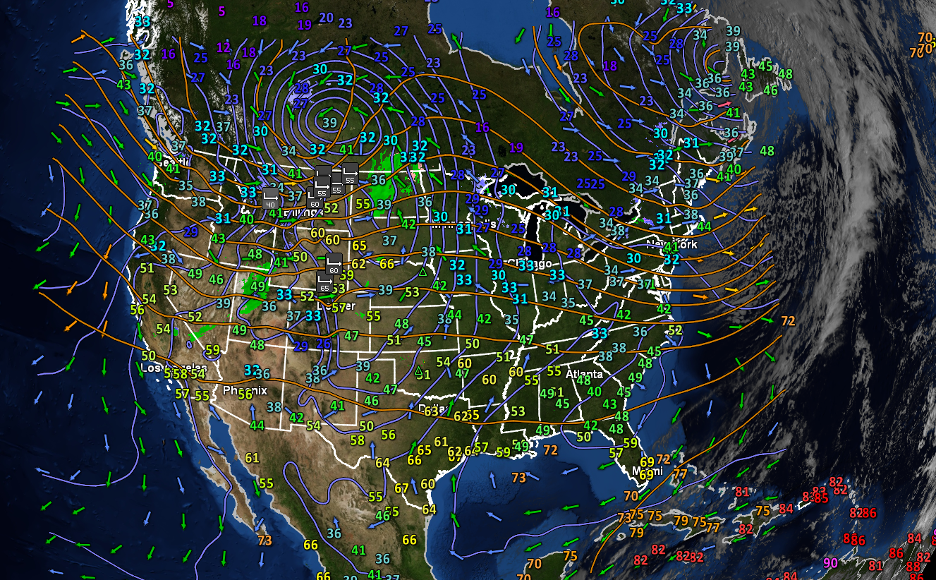
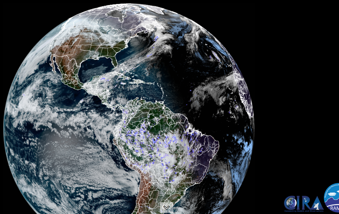
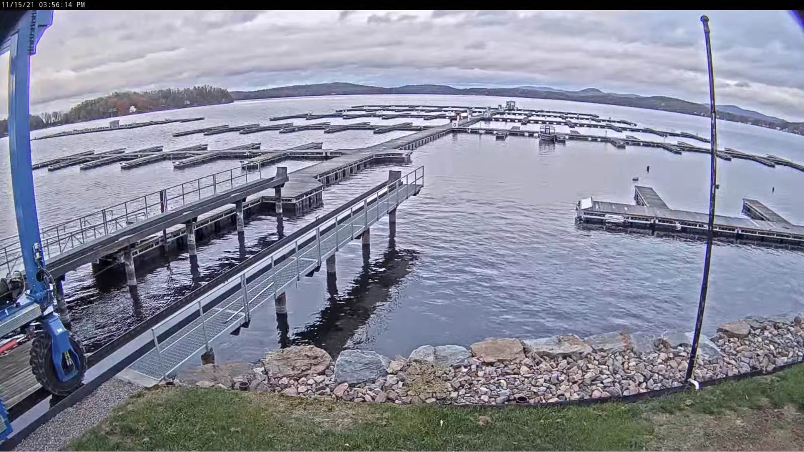
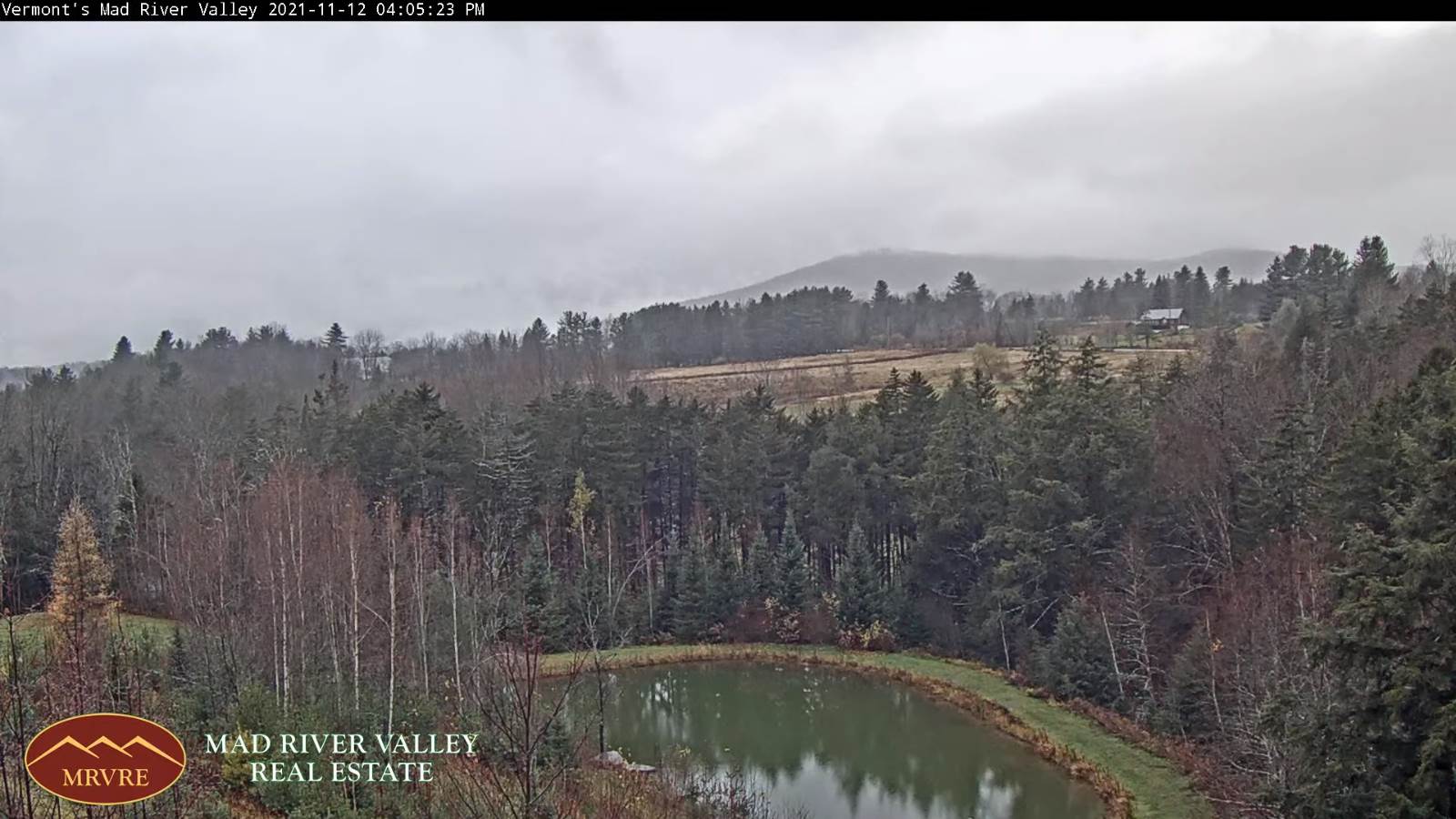
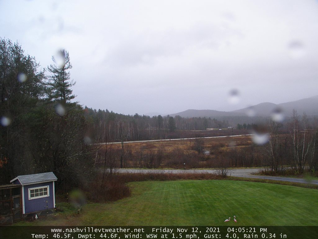
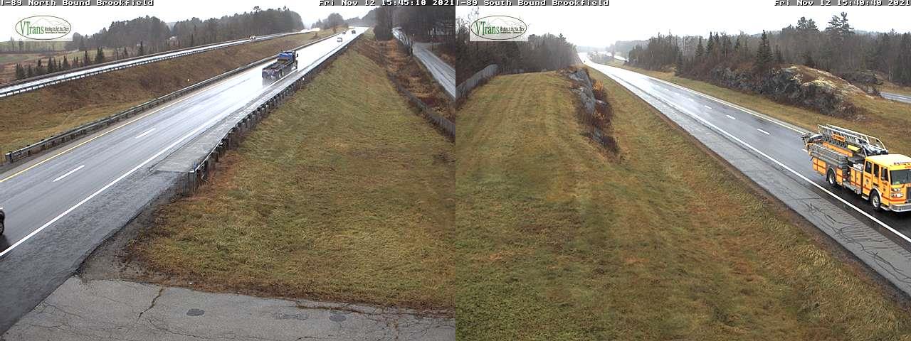
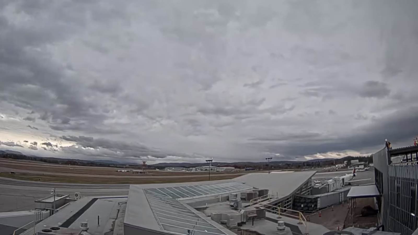
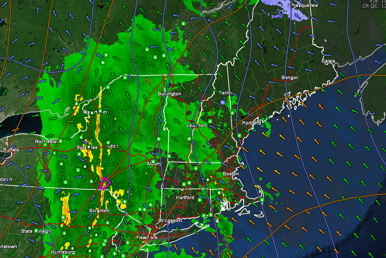
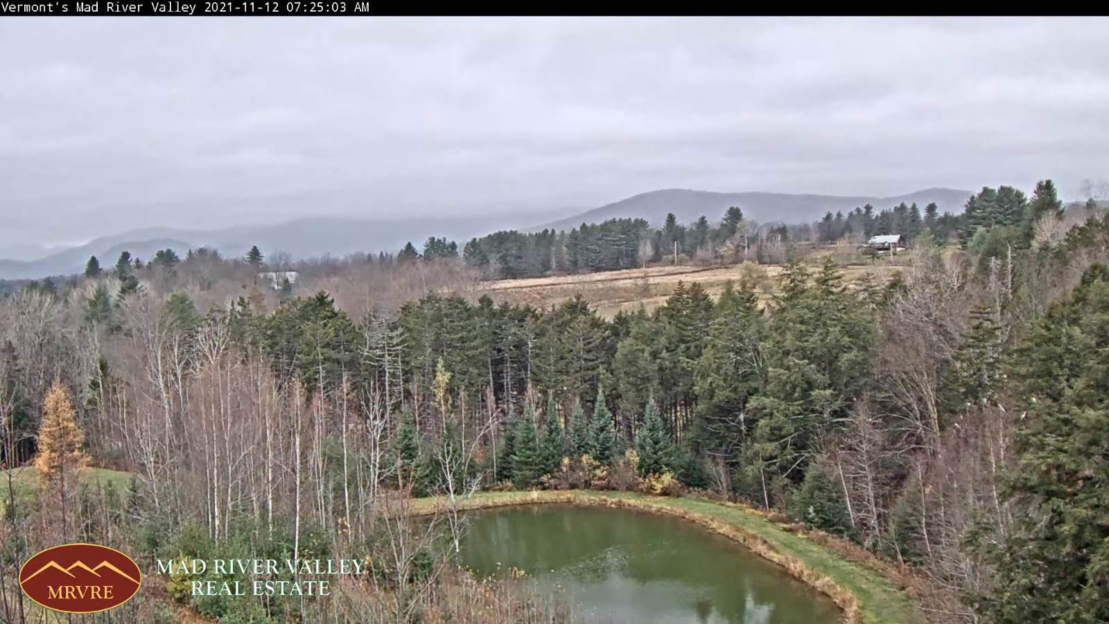
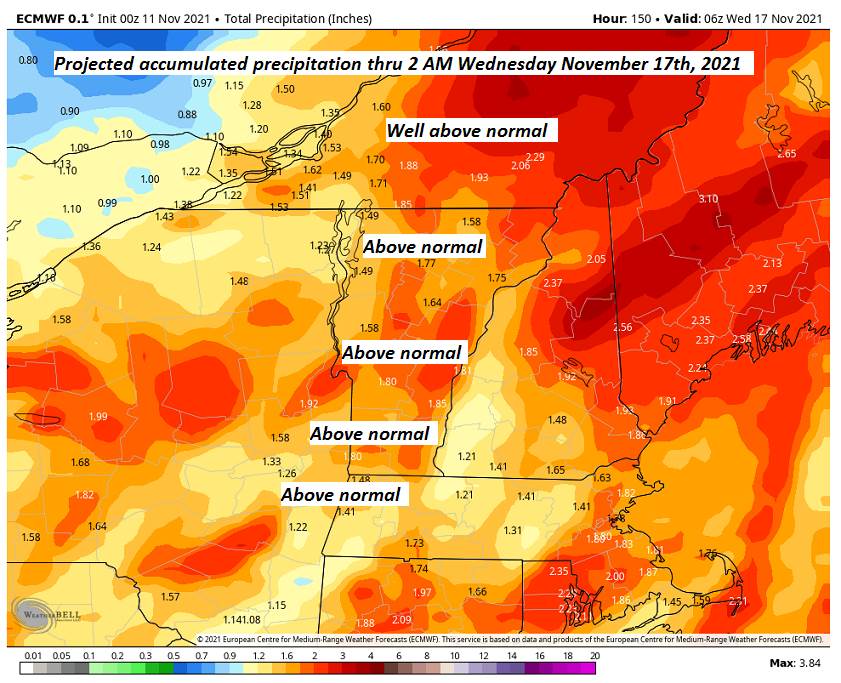
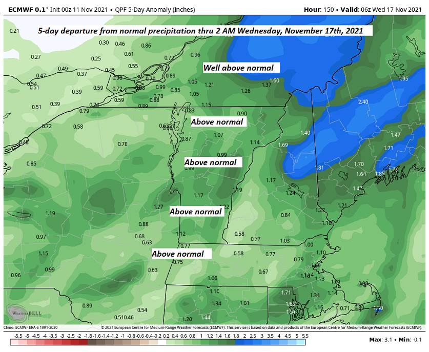
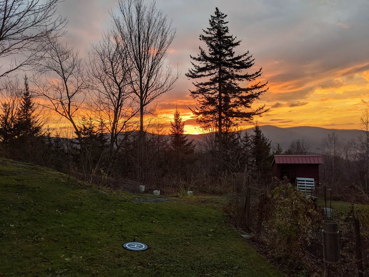
TODAY: Pick of the week. Mainly gray, with intervals of sunshine around mid-day, but milder. Isolated sprinkles far northern areas blending to a period of occasional rain showers late. Milder. A high mid-50s to near 60. South breeze 10 to 15 mph becoming northwest late.

Full “Beaver Moon 3:59 AM” Partial Lunar Eclipse 2 AM thru 5:47 AM Tomorrow morning…

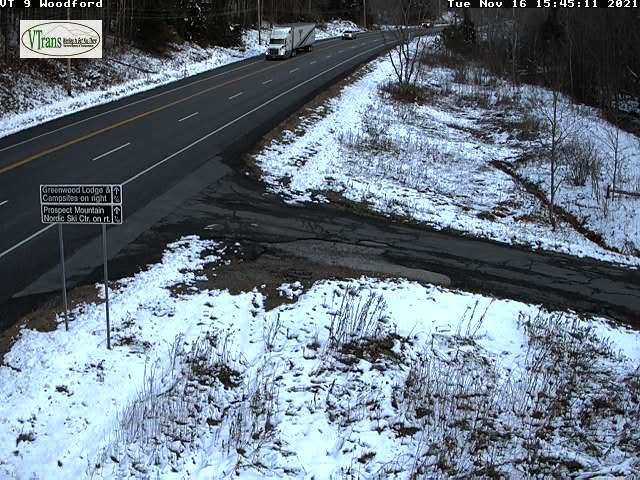
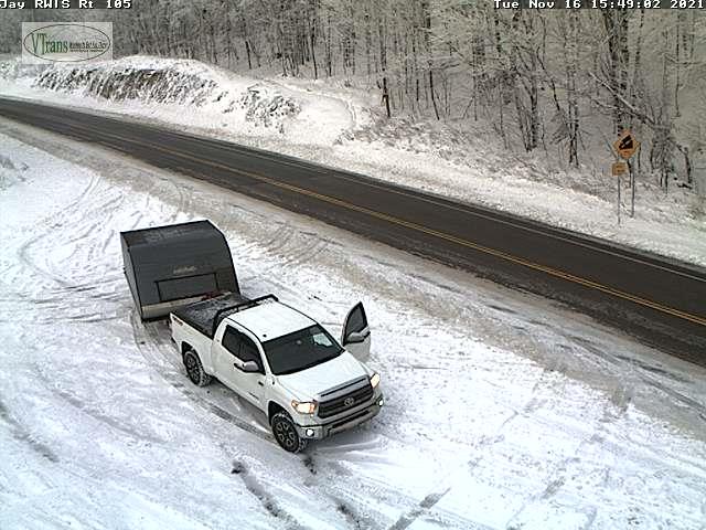
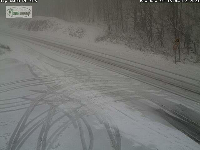
TONIGHT: Occasional showers…mixing with higher elevation wet snow exiting after midnight to clearing skies with patchy valley fog. A low in the low 30s. Light northwest winds.

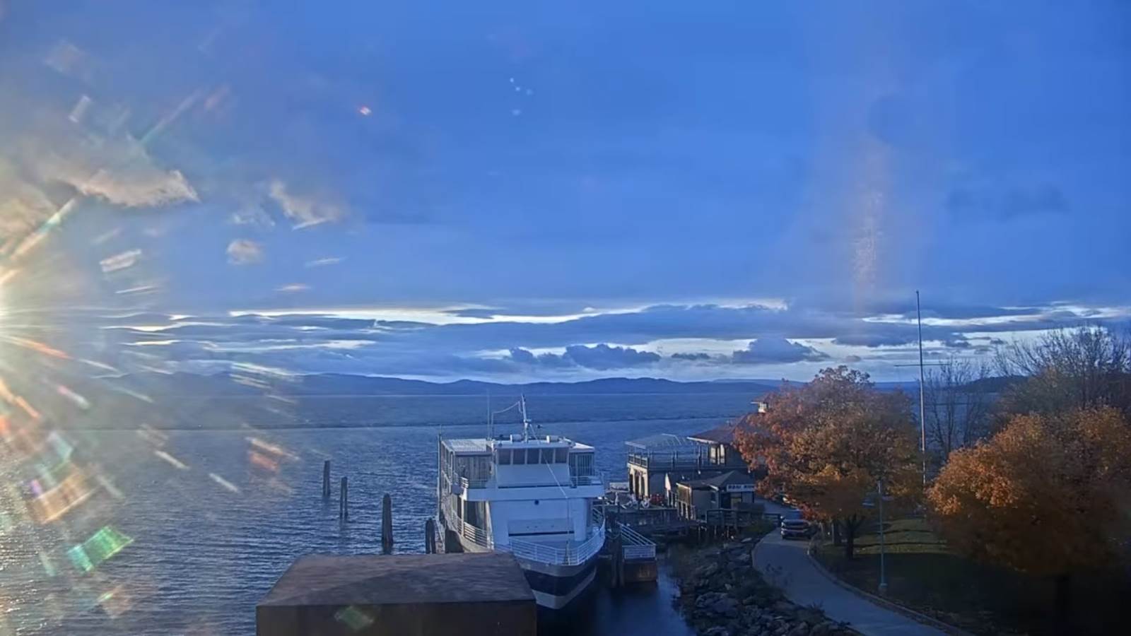
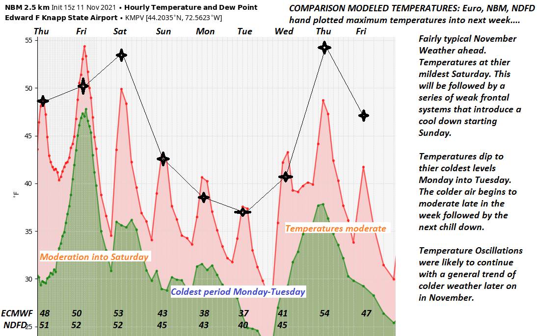
FRIDAY: Alternating sun and clouds, blustery and colder, widely scattered mountain flurries little to no accumulation. A high 40 to 45. Gusty west to northwest winds 10 to 25 mph.

Looking further ahead…

FRIDAY NIGHT: Mostly clear. A low around 25.

SATURDAY: Sunshine gives way to increasing high clouds in the afternoon. A high near 40.

SUNDAY: High cloudiness thickening up late. A low around 32. A high in the low 40s.

MONDAY: Cloudy. Chance for periods of rain or showers. A low upper 30s to around 40. A high around 50.

TUESDAY: Partly cloudy. Chance for snow showers mixed with rain valley floors. A low in the low 30s. A high in the low 40s.

Average lows 25 to 30. Average highs 40 to 45.

RH/11-18forecast][end]

Updated Wednesday Evening Forecast — November 17th, 2021

Winter Weather Advisory far Northeast Kingdom this evening…

TONIGHT: Overcast. Scattered light rain showers early, with spotty freezing rain far northern Vermont for a time this evening. Otherwise scattered rain showers roughly Barre-Montpelier area north. A low near 32 degrees Essex county, otherwise mid-30s. South winds 10 to 15 mph.

TOMORROW: Pick of the week. Mainly gray, but milder. Isolated sprinkles far northern areas blending to a period of occasional rain showers late. Milder. A high mid-50s to near 60. South breeze 10 to 15 mph becoming northwest late.

THURSDAY NIGHT: Occasional showers…mixing with higher elevation wet snow exiting overnight to clearing. A low near 32. Light northwest winds.

FRIDAY: Mixed sun and clouds, blustery and colder, widely scattered mountain flurries little to no accumulation. A high in the low 40s. Gusty west to northwest winds 10 to 25 mph.

Looking further ahead…

FRIDAY NIGHT: Mostly clear. A low in the mid-20s.

SATURDAY: Sunshine gives way to increasing high clouds in the afternoon. A high near 40.

SUNDAY: High cloudiness thickening up late. A low around in the upper 20s. A high in the low 40s.

MONDAY: Cloudy. Chance for showers or periods of rain. A low 35 to 40. A high upper 40s to near 50.

Average lows 25 to 30. Average highs 40 to 45.

RH/11-17forecast][end]

Updated Wednesday Morning Forecast — November 17th, 2021

TODAY: Considerable high cloudiness, with hints of morning sunshine. A high around 40. Light winds increasing southeasterly 10 to 15 mph.

TONIGHT: Overcast. Scattered light rain showers arrive early, with brief spotty mixed precipitation at onset north of the Barre-Montpelier area. A low 35 to 40. South winds 10 to 15 mph.

THURSDAY: Pick of the week. Mixed sun and clouds & mild. Isolated sprinkles far northern areas blending to a period of frequent rain showers late. Milder. A high mid-50s to near 60. South to southwest breeze 10 to 15 mph.

Looking further ahead…

THURSDAY NIGHT: Overcast. Periods of rain or showers likely…mixing with higher elevation wet snow. A low near 32.

FRIDAY: Partly to mostly sunny, blustery and colder, with isolated wet snow showers and sprinkles. A high around 40. Gusty west to northwest winds.

SATURDAY: Mostly sunny with a few high clouds late. A low in the mid-20s. A high upper 30s to around 40.

SUNDAY: Filtered sunshine through high cloudiness thickening up in the afternoon. A low around in the upper 20s. A high near 45.

MONDAY: Cloudy. Chance for showers or periods of rain. A low near 40. A high around 50.

Average lows 25 to 30. Average highs 40 to 45.

RH/11-17forecast][end]

Updated Tuesday Evening Forecast — November 16th, 2021

TONIGHT: Mountain flurries wind down, otherwise scattered mountain clouds to clear skies. A low upper teens to mid-20s. Light west winds.

TOMORROW: Considerable high cloudiness, thickening in the afternoon. A high near 40. Light winds increasing southeasterly 10 to 15 mph.

WEDNESDAY NIGHT: Overcast. Scattered light rain showers, north of the Barre-Montpelier area with brief spotty mixed precipitation at onset. A low 35 to 40. South winds 10 to 15 mph.

THURSDAY: Pick of the week. More clouds than sun, but rather mild. Isolated sprinkles far northern areas blending to a period of frequent rain showers late. Milder. A high pushing toward 60. South breeze 10 to 15 mph.

Looking further ahead…

THURSDAY NIGHT: Overcast. Chance for rain mixing with higher elevation wet snow. A low in the mid-30s.

FRIDAY: Partly to mostly sunny, blustery and colder, with isolated wet snow showers and sprinkles. A high near 40.

SATURDAY: Mostly sunny with a few high clouds late. A low in the mid-20s. A high mid to upper 30s.

SUNDAY: Filtered sunshine through high cloudiness. A low around 30. A high near 45.

Average lows 25 to 30. Average highs 40 to 45.

RH/11-16forecast][end]

Updated Tuesday Morning Weather — November 16th, 2021

TODAY: Mainly cloudy with a few breaks of sun. Blustery and colder. Isolated flurries. A high in the mid-30s. Northwest winds 10 to 20 mph.

TONIGHT: Maybe a flurry Quebec border, otherwise scattered clouds. A low upper teens to mid-20s. Light west winds.

WEDNESDAY: Considerable mainly high cloudiness. A high 35 to 40. Light southeast winds.

Looking further ahead…

WEDNESDAY NIGHT: Overcast. Scattered light rain showers, far northern areas with spotty mixed precipitation possible at onset. A low 35 to 40.

THURSDAY: Pick of the week. Partly to mostly cloudy. Slight chance for showers near the Quebec border spreading southeast later in the afternoon. Milder. A high pushing toward 60.

THURSDAY NIGHT: Overcast. Chance for rain mixing with higher elevation snow. A low in the mid-30s.

FRIDAY: Partly cloudy blustery and colder, with scattered wet snow showers and sprinkles. A high near 40.

SATURDAY: Mostly sunny with a few high clouds late. A low in the mid-20s. A high mid to upper 30s.

SUNDAY: Filtered sunshine through high cloudiness. A low around 30. A high near 45.

Average lows 25 to 30. Average highs 40 to 45.

RH/11-16forecast][end]

Updated Monday Evening Forecast — November 15th, 2021

TONIGHT: Occasional snow showers this evening, tapering to a few leftover mountain flurries overnight. Accumulation a dusting to an isolated couple of inches. Partial clearing overnight. A low upper 20s. Northwest winds 10 to 15 mph this evening.

TOMORROW: Mainly cloudy with a few breaks of sun. Blustery and colder. Isolated flurries. A high in the mid-30s. Northwest winds 10 to 20 mph.

TUESDAY NIGHT: Partly cloudy. A low 20 to 25. Light west winds.

WEDNESDAY: Becoming cloudy. Chance for snow showers mixing with freezing rain and rain northern areas late. A high in the mid-30s. Light southeast winds.

Looking further ahead…

WEDNESDAY NIGHT: Overcast. Brief period of mixed precipitation early evening exiting. An early evening low near 32 degrees.

THURSDAY: Pick of the week. Partly sunny. Milder. A high 55 to 60. Chance for rain Thursday evening…& high elevation wet snow.

FRIDAY: Partly cloudy blustery and colder, with scattered wet snow showers and sprinkles. A low around 30. A high upper 30s to near 40.

SATURDAY: Mostly sunny with a few high clouds late. A low in the mid-20s. A high mid to upper 30s.

Average lows 25 to 30. Average highs 40 to 45.

RH/11-15forecast][end]

Updated Monday Morning Forecast — November 15th, 2021

TODAY: Clouds with intervals of sun. Isolated rain or snow showers late this morning…become more numerous this afternoon. A skiff of snow accumulation ski resorts and high terrain. A high near 40. West to northwest winds 10 mph.

TONIGHT: Lots of clouds. Occasional rain and snow showers early…changes to wet snow showers. Accumulation dusting to an inch, up to an isolated couple inches mountain summits. A low upper 20s. Northwest winds 10 to 15 mph.

TUESDAY: Mainly cloudy with a breaks of sun. Blustery and colder. Isolated flurries early. A high in the mid-30s. Northwest winds 10 to 20 mph.

Looking further ahead…

TUESDAY NIGHT: Partly cloudy. A low 20 to 25.

WEDNESDAY: Cloudy. Chance for snow showers mixing with freezing rain and rain northern areas late. A high in the mid-30s.

THURSDAY: Pick of the week. Partly sunny. A low near 32 degrees but milder in the afternoon. A high 55 to 60. Chance for rain Thursday evening…& high elevation wet snow.

FRIDAY: Partly cloudy blustery and colder, with scattered wet snow showers and sprinkles. A low around 30. A high near 40.

SATURDAY: Mostly sunny with a few high clouds late. A low in the mid-20s. A high around 35.

Average lows 25 to 30. Average highs 40 to 45.

RH/11-15forecast][end]

Updated Friday Evening Forecast — November 12th, 2021

TONIGHT: An early evening shower exiting, then clearing skies. A low near 32. Light south to southwest winds.

TOMORROW: Mixed sun and clouds early. Cloudy in the afternoon. A period of mixed rain and wet snow overspreading the region late, making for potentially slippery travel. A high upper 40s. Light southeast winds.

SATURDAY NIGHT: Cloudy. A period of wet snow…exiting around midnight. Slushy accumulation of a dusting to 3” by midnight. Otherwise a few mountain flurries. A low about 32. Southwest winds 10 mph.

SUNDAY: Lots of clouds. Scattered rain/snow showers northern areas early. A high near 45. Southwest winds 10 mph.

Looking further ahead…

SUNDAY NIGHT: Mainly cloudy. A period of rain likely mixing and changing to wet snow. Some accumulation with slushy travel. A low around 32.

MONDAY: Mostly cloudy and a little colder. Chance for rain showers…mixed with wet snow, elevated terrain. A high near 40.

TUESDAY: Mixed sunshine with cloudy periods. Blustery and colder. Isolated flurries early. A low upper 20s. A high in the mid-30s.

WEDNESDAY: High cloudiness. A low near 25. A high 40 to 45.

Average lows mid-20s to low 30s. Average highs low to mid 40s.

RH/11-12forecast][end]

Updated Friday morning Forecast — November 12th, 2021

TODAY: Gray skies and breezy to windy at times. Scattered showers developing, blending into periods of rain… moderate at times in the afternoon. A high around 50. Southeast winds 10 to 20 mph with few higher gusts western slopes of the Green Mountains…shifting to southwesterly this afternoon.

TONIGHT: An early evening shower, then clearing. A low in the low 30s. Light south to southwest winds.

SATURDAY: Mixed sun and clouds early. Cloudy in the afternoon. Showers likely, mixed with wet snow above about 1500 ft. with some accumulation late. A high around 50. Light south to southeast winds.

Looking further ahead…

SATURDAY NIGHT: Cloudy. A period of valley rain mixing with wet snow above about 1000 ft. with slushy accumulations of dusting to locally 3” in the evening…tapering off to a few mountain flurries. A low around 32 of the freezing mark.

SUNDAY: Lots of clouds. A high 40 to 45.

SUNDAY NIGHT: Chance for showers developing…mixing with wet snow higher terrain with minor accumulation. A low around 35.

MONDAY: Mostly cloudy and a little colder. Chance for rain showers…mixed with wet snow, elevated terrain. A high around 40.

TUESDAY: Mixed sunshine with cloudy periods. Blustery and colder. Chance for snow showers with some accumulation. A low in near 30. A high near 35.

Average lows mid-20s to low 30s. Average highs low to mid 40s.

RH/11-12forecast][end]

Updated Thursday Night Weather — November 11th, 2021

TONIGHT: Thickening clouds. A low in the upper 30s. Southeast breeze picking up 10 to 15 mph overnight.

TOMORROW: Gray skies and becoming breezy to windy at times. Scattered showers developing, blending into periods of rain… moderate at times in the afternoon. A high around 50. Southeast winds 10 to 20 mph with few higher gusts western slopes of the Green Mountains…shifting to southwesterly late.

FRIDAY NIGHT: An early evening shower, then clearing. A low in the low 30s. Light south to southwest winds.

SATURDAY: Mixed sun and clouds in the morning. Cloudy in the afternoon. Showers likely, mixed with wet snow above about 2000 ft. with some minor accumulation elevated terrain. A high around 50. Light south to southeast winds.

Looking further ahead…

SATURDAY NIGHT: Cloudy in the afternoon. Showers likely, mixed with wet snow above about 1500 ft. with possible slushy accumulations elevated terrain. A low near 32.

SUNDAY: Lots of clouds. Chance for showers developing late…mixing with wet snow in the elevated terrain with minor accumulation possible Sunday night. A high 40 to 45.

MONDAY: Mostly cloudy and a little colder. Chance for rain showers…mixed with wet snow, elevated terrain. A low around 35. A high around 40.

TUESDAY: Mixed sunshine with cloudy periods. Blustery and colder. Chance for snow showers with *some accumulation*. A low in near 30. A high near 35.

Average lows mid-20s to low 30s. Average highs low to mid 40s.

RH/11-11forecast][end]