Updated Tuesday Evening Forecast — March 1st, 2022

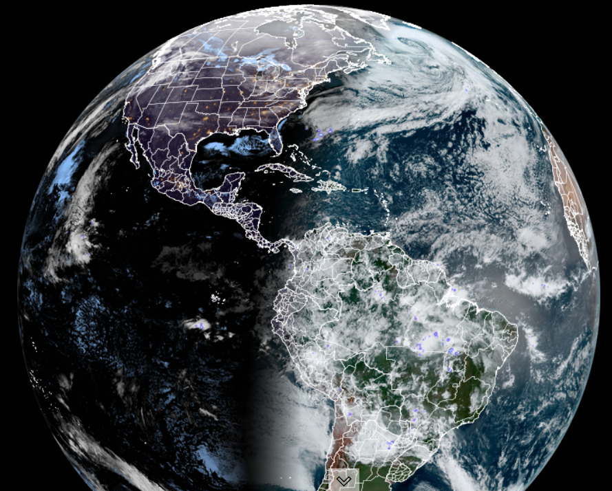
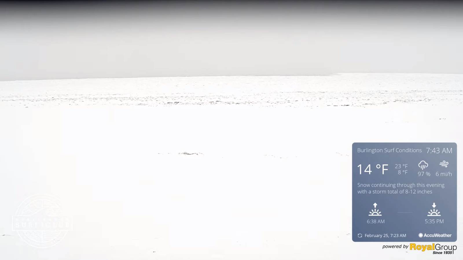
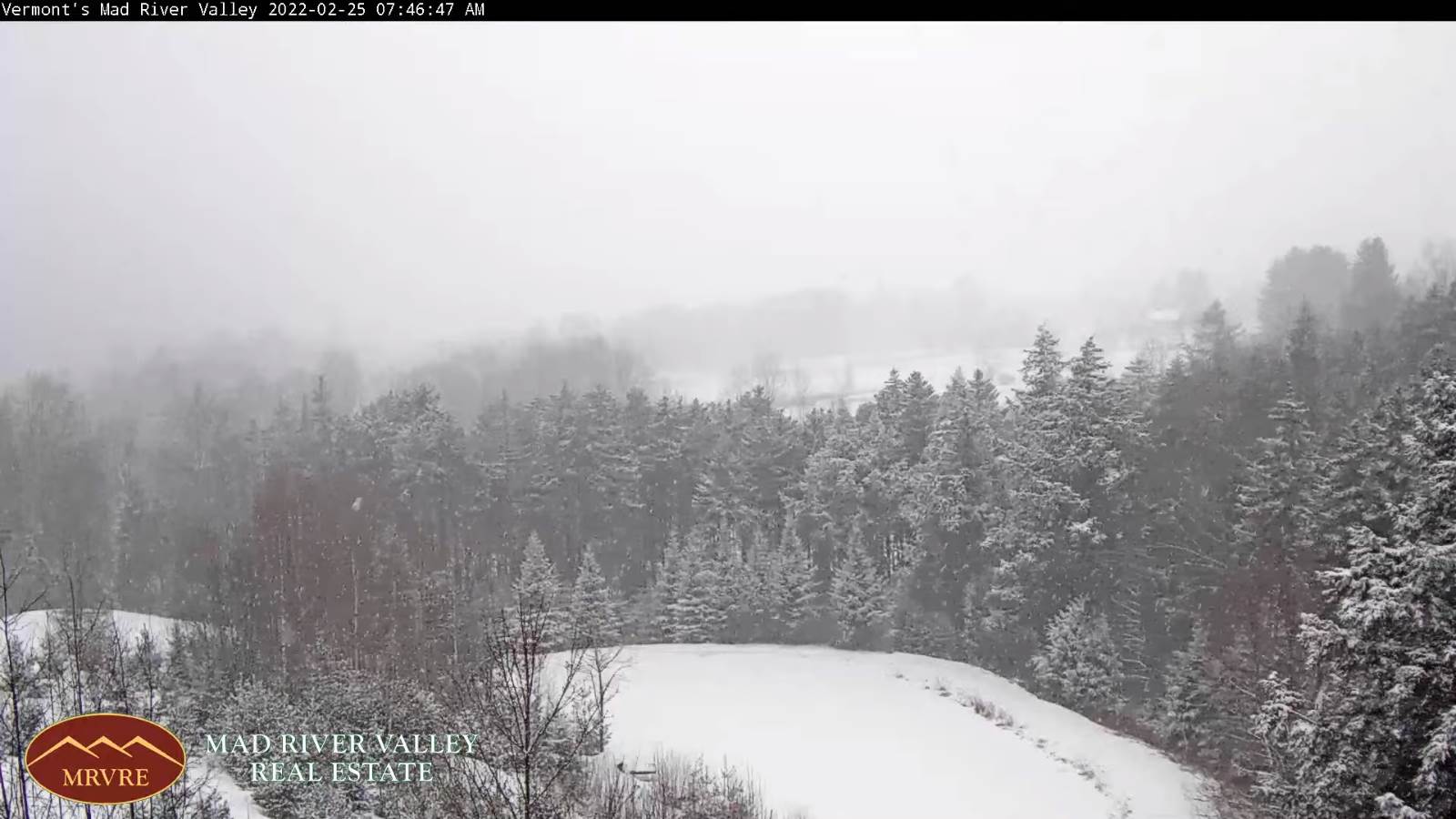
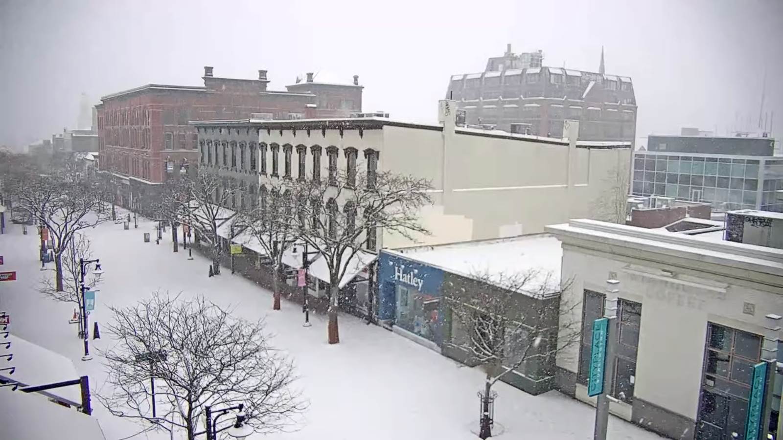
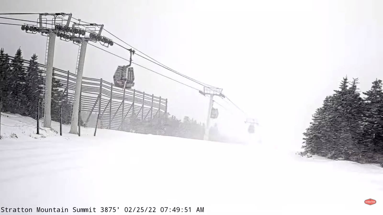
TONIGHT: Snow showers this evening, winding down as flurries overnight. About 1 to 2 inches possibly more northern Green Mountains. A low ranging from near 15 north to low 20s south. Southwest winds this evening…shifting to northwesterly 10 mph.

TOMORROW: Lots of clouds giving way to intervals of afternoon sunshine. A high upper 20s to around 30. Light northwest winds.

WEDNESDAY NIGHT: Cloudy. Light accumulating snow showers/flurries with up to an inch. A low 15 to 20. Light southwesterly winds.

THURSDAY: Mostly cloudy & turning blustery. Occasional leftover flurries early…exiting to partial afternoon sunshine. Temperatures holding near 15 above. Northwest winds 10 to 20 mph.

Looking further ahead…

THURSDAY NIGHT: Mostly clear and frigid. A low Zero to 10 below.

FRIDAY: Mostly sunny. A high upper teens to low 20s.

SATURDAY: Thickening clouds after filtered sun. A rising chance for light accumulating snow developing late. A low 5 below to 5 above. A high 30 to 35.

SUNDAY: Overcast. Good chance for a wintry mix early with slick travelgiving way to rain or rain showers. A Saturday evening low upper 20s with possible glazing. A high 50 to 55.

Average lows upper single digits to mid-teens. Average highs mid to upper 30s

End of Met. Winter March 9th

RH/3-1 forecast][end]

Updated Tuesday Town Meeting Day Morning — March 1st, 2022

TODAY: Mainly cloudy. Light accumulating snow showers & flurries developing mid-morning on. Accumulation of dusting to 2 inches with the most northern mountains. A high mid-20s to low 30s. Southeast winds 10 mph.

TONIGHT: Snow showers flare up this evening, winding down as flurries later overnight. Additional 1 to locally 3 inches especially northern Greens. A low mid-20s to near 30. Southwest winds becoming northwesterly 10 mph.

WEDNESDAY: Lots of clouds giving way to intervals of afternoon sunshine. A high upper 20s to low 30s. Light northwest winds.

Looking further ahead…

WEDNESDAY NIGHT: Cloudy. Rising chance for light accumulating snow showers/flurries with up to an inch of accumulation. A low 10 to 15.

THURSDAY: Mostly cloudy & turning blustery. Occasional leftover flurries early…exiting to partial afternoon sunshine. Temperatures holding near 15 above.

FRIDAY: Mostly sunny. A low Zero to 10 below. A high mid-teens to low 20s.

SATURDAY: Thickening clouds after filtered sun. A rising chance for light accumulating snow developing late. A low 5 below to 5 above. A high 32 to 35.

SUNDAY: Chance for a wintry mix early with poor travelgiving way to rain showers. An evening low upper 20s. A high 40s to near 50.

Average lows upper single digits to mid-teens. Average highs mid to upper 30s

End of Met. Winter March 9th

RH/3-1 forecast][end]

Updated Monday Evening forecast — February 28th, 2022

TONIGHT: Mostly clear early this evening, then increasing and thickening clouds. Cold. A low 5 above to 5 below. Little wind.

TOMORROW Town Meeting Day: Mainly cloudy. Light accumulating snow showers & flurries developing mid-morning on. Accumulation of a half inch to 2 inches. A high mid-20s to low 30s. Southeast winds 10 mph.

TUESDAY NIGHT: Mainly cloudy. Scattered light snow showers, winding down as flurries overnight. Additional dusting to 2 inches. A low mid-20s to near 30. Southwest winds becoming northwesterly 10 mph.

WEDNESDAY: Lots of clouds giving way to intervals of afternoon sunshine. A high upper 20s to low 30s. Light northwest winds.

Looking further ahead…

WEDNESDAY NIGHT: Cloudy. Rising chance for light accumulating snow showers/flurries. A low 10 to 15.

THURSDAY: Mostly cloudy. Scattered light snow showers and flurries exiting around mid-day. Partial sun develops in the afternoon. Temperatures holding near 15 above.

FRIDAY: Mostly sunny. A low Zero to 10 below. A high mid-teens to low 20s.

SATURDAY: Thickening clouds after filtered sun. A rising chance for light accumulating snow developing late. A low 5 below to 5 above. A high 32 to 35.

SUNDAY: Chance for a wintry mix early with poor travelgiving way to rain showers. An evening low upper 20s. A high 40s to near 50.

Average lows upper single digits to mid-teens. Average highs mid to upper 30s

End of Met. Winter March 9th

RH/2-28 forecast][end]

Updated Monday Morning Forecast — February 28th, 2022

Wind Chill Advisory expires at 10 AM…

TODAY: Clear skies give way to partial afternoon sunshine. Bundle up. Well below normal in temperature, with a high in the low teens. Northwest winds 10 mph.

TONIGHT: Becoming partly to mostly cloudy and cold. A low 5 above to 5 below. Little wind.

TUESDAY Town Meeting Day: Mainly cloudy. Light accumulating snow showers & flurries with a half inch to about 2”. A high 25 to 30. Southeast winds 10 mph.

Looking further ahead…

TUESDAY NIGHT: Mainly cloudy. Scattered light accumulating snow showers and flurries. Additional dusting to a fluffy inch or two. A low mid-teens to mid-20s.

WEDNESDAY: Lots of clouds giving way to intervals of afternoon sunshine. A high mid-20s to low 30s.

THURSDAY: Gray. Occasional light accumulating snow showers in the morning…partial clearing in the afternoon with more sun than clouds. A low 10 to 15. A high only near 15 above.

FRIDAY: Mostly sunny. A low Zero to 10 below. A high in the low to mid 20s.

Average lows upper single digits to mid-teens. Average highs mid to upper 30s

End of Met. Winter March 9th

RH/2-28 forecast][end]

Updated Friday Evening Forecast — February 25th, 2022

Winter Storm Warning expires this evening…

TONIGHT: Periods of early evening snow…tapering to scattered mountain snow showers and valley flurries. About an inch additional accumulation.Partial clearing overnight.A low 5 above to 10 below. Light winds becoming northwesterly 10 mph.

TOMORROW: A beauty. Mostly sunny. Rather chilly. A high 20 to 25. Light southwest winds.

SATURDAY NIGHT: Increasing clouds. A low ranging thru the teens. Southwest winds 10 mph.

SUNDAY: Thickening clouds, leading to a chance for snow showers and snow squalls with a dusting to a quick inch. A high around 30. Southwest winds 10 to 20 mph shifting to northwesterly and increasing with higher gusts in snow squalls.

Looking further ahead…

SUNDAY NIGHT: Partly cloudy. A low 5 below to 5 above.

MONDAY: Partly sunny and rather cold. A high just in the lower teens.

TUESDAY: Partly sunny early, then clouding up. A low 5 above to 5 below. A high 25 to 30.

WEDNESDAY: Lots of clouds giving way to intervals of afternoon sunshine. Temperatures holding in the 20s.

Average lows 5 to 15. Average highs low to mid 30s

End of Met. Winter March 9th

RH/2-25 forecast][end]

Updated Friday morning Forecast — February 25th, 2022

Winter Storm Warning thru 10 PM tonight…

TODAY: Gray. Light accumulating snow…moderate at times later this morning into the afternoon, accumulations 4 to locally 10”more southern Greens. A high mid-teens to low 20s. East to northeast winds 10 mph.

TONIGHT: Periods of evening snow…exiting as additional inch or two.Partial clearing overnight.A low 5 above to 10 below. Light southeast winds.

SATURDAY: A beauty with mostly sunny skies. Rather chilly. A high 20 to 25. Light southwest winds.

Looking further ahead…

SATURDAY NIGHT: Increasing clouds. A low ranging thru the teens.

SUNDAY: Thickening clouds, leading to a chance for snow showers and snow squalls with a dusting to 2”. A high in the upper 20s.

MONDAY: Variably cloudy. A low 5 below to 5 above. A high just 10 to 15.

TUESDAY: Mostly cloudy. Maybe a few flurries. A low single digits. A high mid-20s to around 30.

Average lows 5 to 15. Average highs low to mid 30s

End of Met. Winter March 9th

RH/2-25 forecast][end]

Updated Thursday Evening Forecast — February 24th, 2022

Winter Storm Warning overnight into late Friday evening…

TONIGHT: Clear this evening, then clouding up. Light accumulating snow developing southern Vermont overnight.A low zero to 10 above. Light east to northeast winds.

TOMORROW: Gray. Light accumulating snow developing in the morning… moderate at times in the afternoon, accumulations 5 to locally 10”more southern Greens. A high mid-teens to low 20s. East to northeast winds 10 mph.

FRIDAY NIGHT: Occasional evening snow showers exiting as a few flurries, with minor additional accumulation. Partial clearing overnight.A low 5 above to 10 below. Light southeast winds.

SATURDAY: A beauty with mostly sunny skies. Rather chilly. A high 20 to 25. Light southwest winds.

Looking further ahead…

SATURDAY NIGHT: Increasing clouds. A low ranging thru the teens.

SUNDAY: Thickening clouds, leading to a chance for snow showers and snow squalls with a dusting to 2”. A high in the upper 20s.

MONDAY: Variably cloudy. A low 5 below to 5 above. A high low to mid-teens.

TUESDAY: Mostly cloudy. Maybe a few flurries. A low single digits. A high mid-20s to around 30

Average lows 5 to 15. Average highs low to mid 30s

End of Met. Winter March 9th

RH/2-24 forecast][end]

Updated Thursday Morning Forecast — February 24th, 2022

TODAY: A few morning clouds, but lots of sunshine but cold. A high upper teens to lower 20s. Light northwest winds.

Winter Storm Warning 1 AM thru 10 PM Friday evening…

TONIGHT: Thickening clouds…leading to accumulating light snow southern areas.A low 5 to 10. Light east winds.

FRIDAY: Cloudy. Light accumulating snow developing in the morning… moderate at times in the afternoon with about 6 to 10”of powder. A high 15 to 20. North to northeast winds 10 mph.

Looking further ahead…

FRIDAY NIGHT: Occasional evening snow showers exiting as a few flurries, with minor additional accumulation. A low 5 below to 5 above.

SATURDAY: A beauty with mostly sunny skies. Rather chilly. A high low to mid 20s.

SUNDAY: Thickening clouds, leading to a chance for snow showers and snow squalls with a dusting to 2”. A low around 10. A high near 30.

MONDAY: Filtered sun thru high cloudiness. A low 5 below to 5 above. A high near 15.

TUESDAY: Mostly cloudy. Maybe a few flurries. A low around 5 above. A high upper 20s to mid-30s.

Average lows 5 to 15. Average highs low to mid 30s

End of Met. Winter March 9th

RH/2-24 forecast][end]

Updated Wednesday Evening Forecast — February 23rd, 2022

Flood Watch in effect thru early Thursday morning… Wind Advisory thru 7 PM this evening, southern Vermont counties…

TONIGHT: A few mountain flurries early, then clearing. Blustery & colder with lowered wind chills late. A low zero to 10 above. Northwest winds 10 to 20 mph with higher gusts early this evening…falling off overnight.

TOMORROW: Partial morning sun, giving way bright sun and blue skies in the afternoon. A high upper teens to around 20. Light northwest winds.

Winter Storm Watch late Thursday night thru Friday evening…

THURSDAY NIGHT: Thickening clouds…leading to accumulating light snow southern areas.A low around 10. Light east winds.

FRIDAY: Cloudy. Light accumulating snow in the morning…becoming moderate at times in the afternoon with about 5 to 10”. A high upper teens to around 20. North to northeast winds 10 mph.

Looking further ahead…

FRIDAY NIGHT: Scattered evening leftover flurries exiting. A low 5 above to 5 below.

SATURDAY: A beauty with mostly sunny skies. Rather chilly. A high 20 to 25.

SUNDAY: Thickening clouds, leading to scattered snow showers or squalls. A low around 10. A high upper 20s to near 30.

MONDAY: Variable cloudiness. A low 5 below to 5 above. A high around 15.

TUESDAY: Partly sunny. A low around zero. A high upper 20s to mid-30s.

Average lows 5 to 15. Average highs low to mid 30s

End of Met. Winter March 9th

RH/2-23 forecast][end]

Updated Wednesday Morning Forecast — February 23rd, 2022

Flood Watch in effect thru early Thursday morning… Wind Advisory 10 AM this morning thru 7 PM this evening, southern Vermont counties…

TODAY: A few morning sprinkles. Otherwise very mild with periods of sun. Breezy to windy at times. A morning high 50 to 55, turning colder to near freezing by late in the day, with a stray mountain flurry. Southwest winds pick up 10 to 25 mph…shifting to northwesterly with stronger gusts.

TONIGHT: A few mountain flurries early, then just a few leftover clouds. Blustery & colder with wind chills late. A low zero to 5 above. Northwest winds 10 to 20 mph with higher gusts early this evening…falling off overnight.

THURSDAY: Mixed sun and clouds & back to mid-winter temperatures. A high upper teens northern areas to lower 20s. Light northwest winds.

Looking further ahead…

Winter Storm Watch late Thursday night thru Friday evening…

THURSDAY NIGHT: Thickening clouds…leading to a rising chance for accumulating snow late with a light coating. A low 5 to 10.

FRIDAY: Cloudy. Chance for snow…moderate at times, accumulations about 3 to 8” with more in the mountains. A high in the lower 20s.

SATURDAY: Lots of sunshine but below normal temperatures. A low in the single digits. A high 20 to 25.

SUNDAY: Thickening clouds, leading to scattered snow showers or squalls. A low around 10. A high 25 to 30.

Average lows 5 to 15. Average highs low to mid 30s

End of Met. Winter March 9th

RH/2-23 forecast][end]