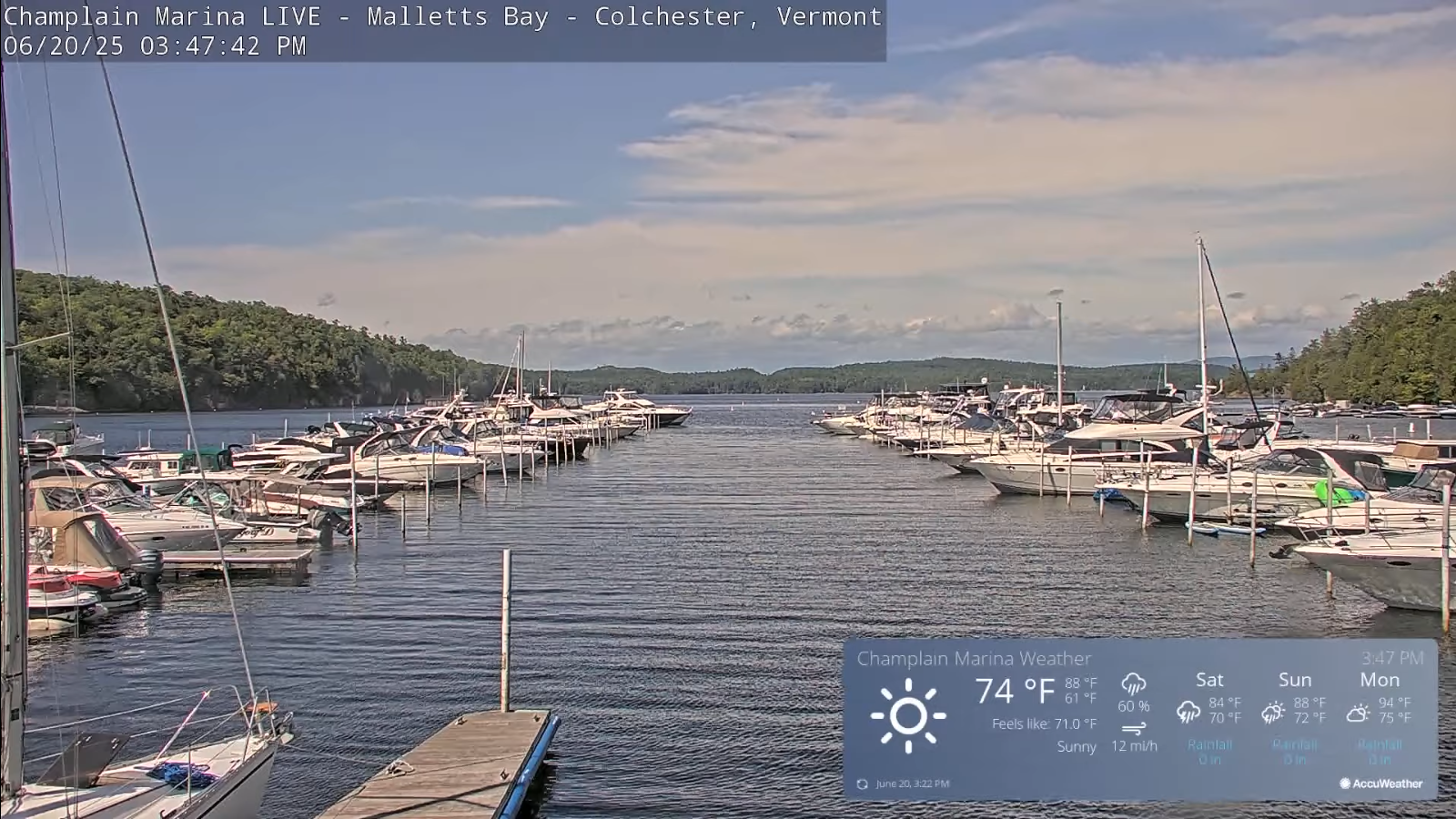
Roger Hill’s Radio Vermont Forecast 3:00 PM FRIDAY 6-20-25
Summer Solstice 10:41 PM
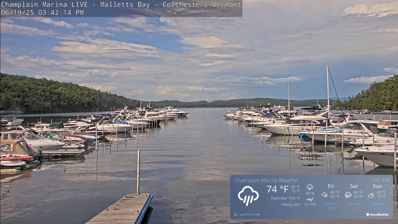
TONIGHT: Mostly clear. Cooler. Patchy valley fog. A low down to near 50. Light west to northwest winds.
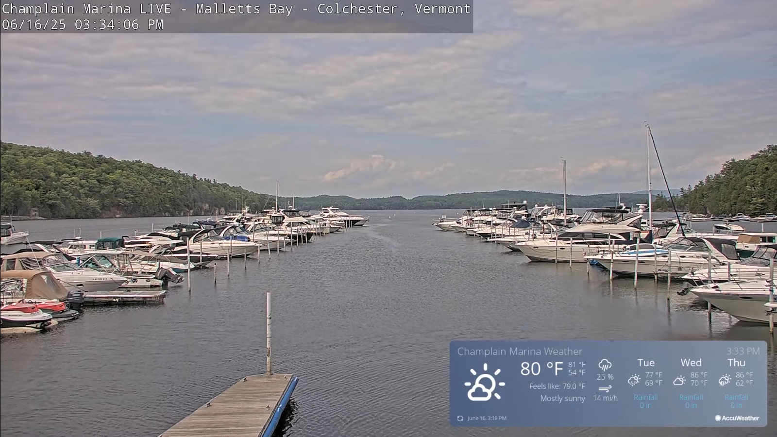
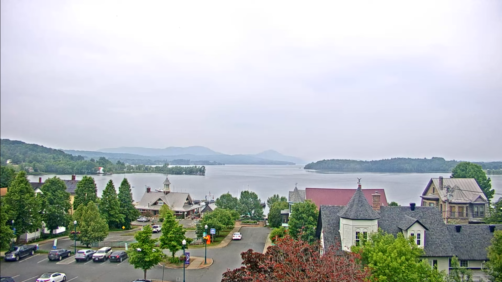
TOMORROW: Sunshine becoming filtered by high cloudiness later in the afternoon. Moderately humid. A high 75 to 80. Light northwest winds.
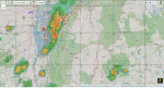
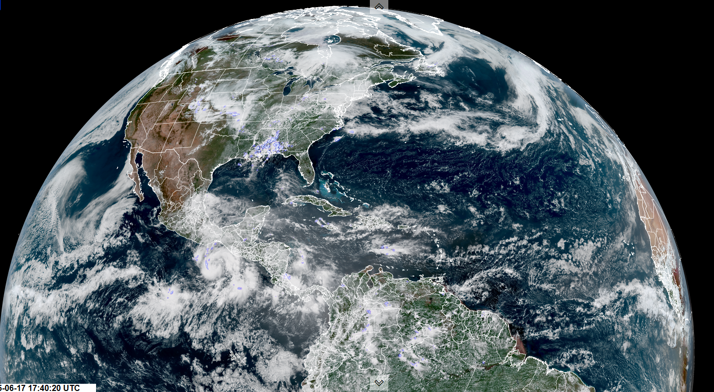
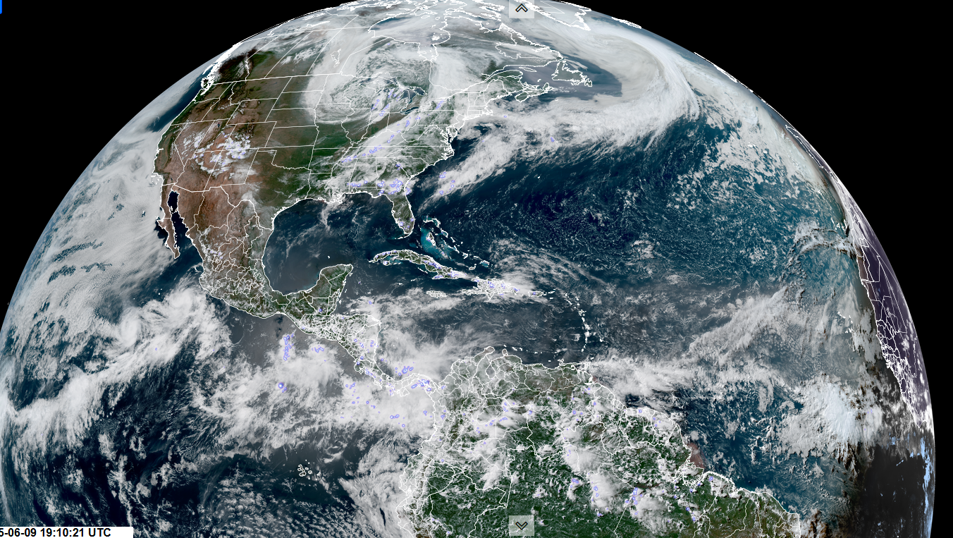
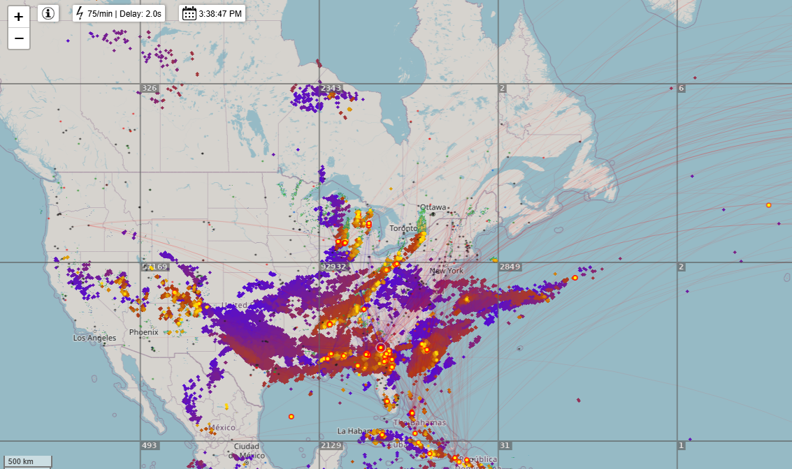
SATURDAY NIGHT: Fair early, then more clouds overnight with scattered showers and few thunderstorms possible overnight northern areas. Increasingly muggy. A low 65 to 70. South to southwest breeze 10 mph, stronger near Lake Champlain.
SUNDAY: Early showers drying up. Otherwise, more sun than clouds with oppressive humidity levels. A high pushing 85. West to northwest winds 10 to 15 mph.
Looking further ahead
SUNDAY NIGHT: Scattered clouds. Sultry. A low mid to upper 60s.
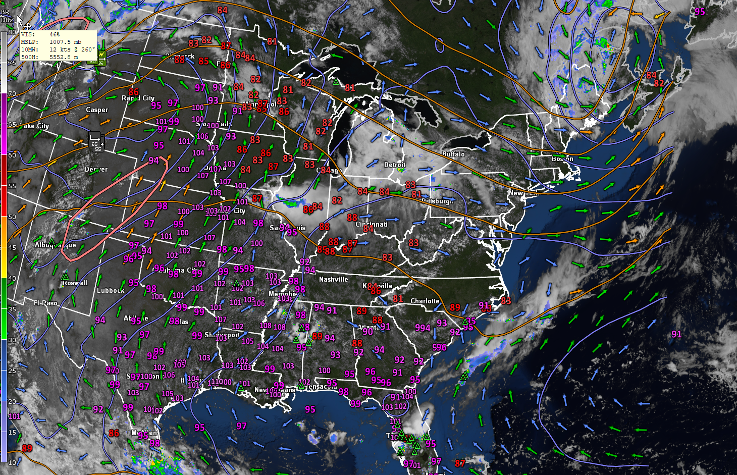
MONDAY: Mostly sunny Hot with oppressive humidity levels. Highs 90 to 95 Heat indices or feels-like temperatures nearing 100.
TUESDAY: Partly sunny then more clouds in the afternoon. Chance for afternoon/early evening thunderstorms…some strong and locally heavy. Oppressively humid. A low 70 to 75. Highs 85 to 90. (Heat indices near 95)
WEDNESDAY: Muggy. Rising chance for afternoon thunderstorms, some strong and locally heavy. A low upper 60s to low 70s. Highs lower 80s.
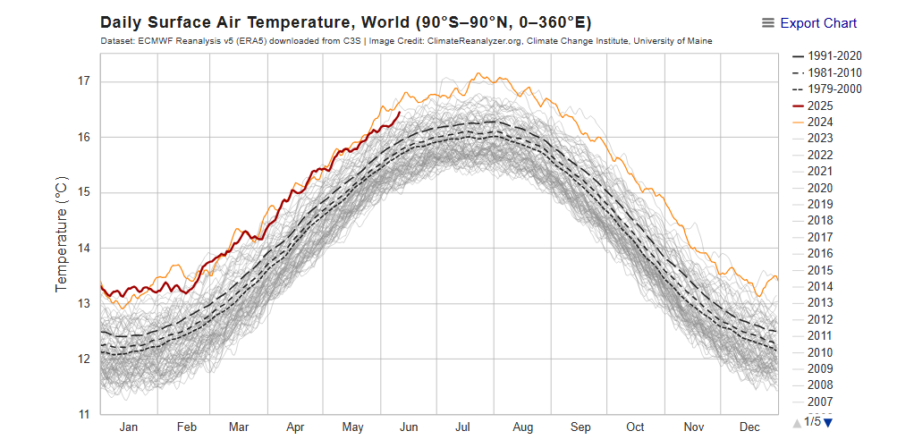
Average low: low to mid-50s. Average highs: mid to upper 70s
Peak of Meteorological Summer July 22nd.
Admin: Summer Vacation 1 month after 4th of July. Fox Trot Delta Tango
RH/6-20[forecast][end]