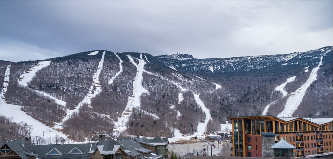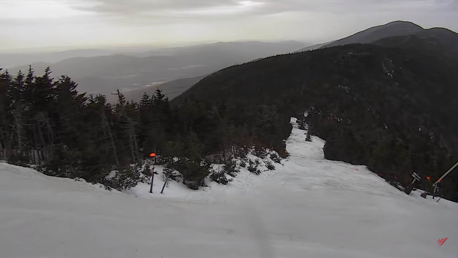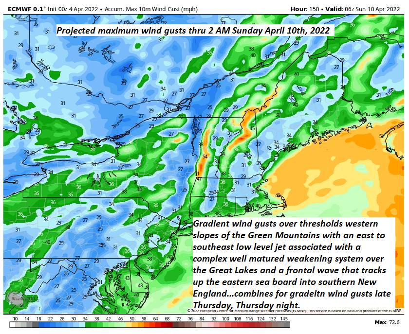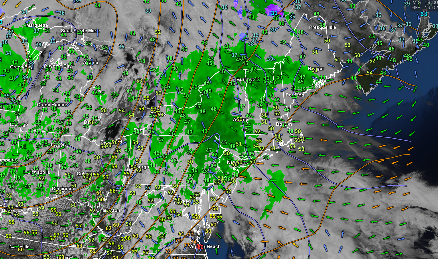
Wind Advisory western slopes of the Green Mountains higher terrain 5 PM until 6 AM Friday morning…
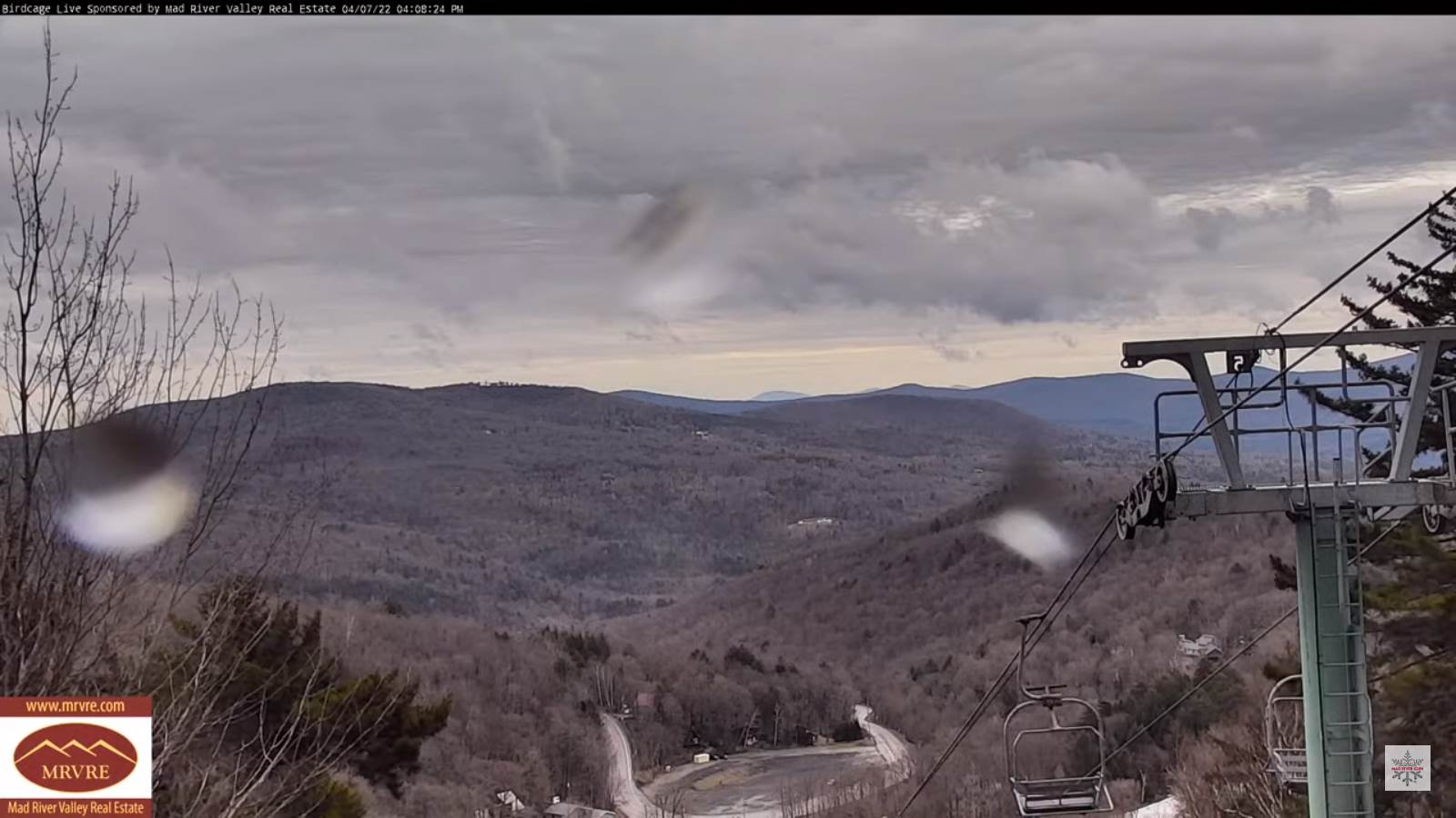
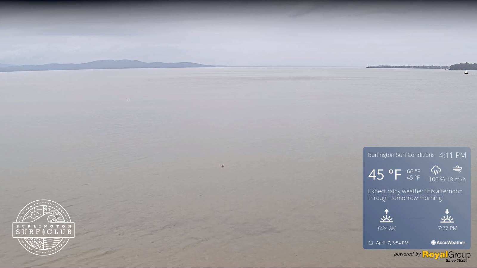
TONIGHT: Overcast. Rain…moderate at times…mixed with a little sleet high terrain. Blustery to windy. A low in the mid-30s. Gusty southeast winds 10 to 20 mph stronger along western slopes, decreasing overnight.
TOMORROW: Scattered rain showers especially in the morning, drying up some in the afternoon, with a few intervals of sun developing late. A high in the lower 50s. West to southwest breeze 10 mph.
FRIDAY NIGHT: Scattered evening clouds, then clouding up overnight leading to a chance for showers. An early low 32 to 35. Light south winds.
SATURDAY: Considerable clouds. Rain showers…moderate at times, with a few wet snow flakes in the hills. A high 45 to 50. Light west winds.
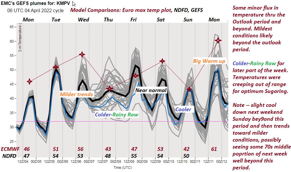
Looking further ahead…
SATURDAY NIGHT: Mostly clear early, then partly cloudy. A low 32 to 35.
SUNDAY: Mostly cloudy & blustery at times. Scattered mainly afternoon rain showers, mixed with a few wet snow flakes. A high 40 to 45.
MONDAY: Mostly sunny. A low near 30. A high about 50.
TUESDAY: Clouding up. Chance for light rain showers in the afternoons. A low 32 to 35. A high in the mid-50s around 60 warmer southern areas.
WEDNESDAY: Mixed clouds and sunny intervals. Chance for showers far northern areas. A low around 40. A high near 65.
Average lows ranging mid-20s to low 30s. Average highs upper 40s to mid-50s.
RH/4-7 forecast][end]