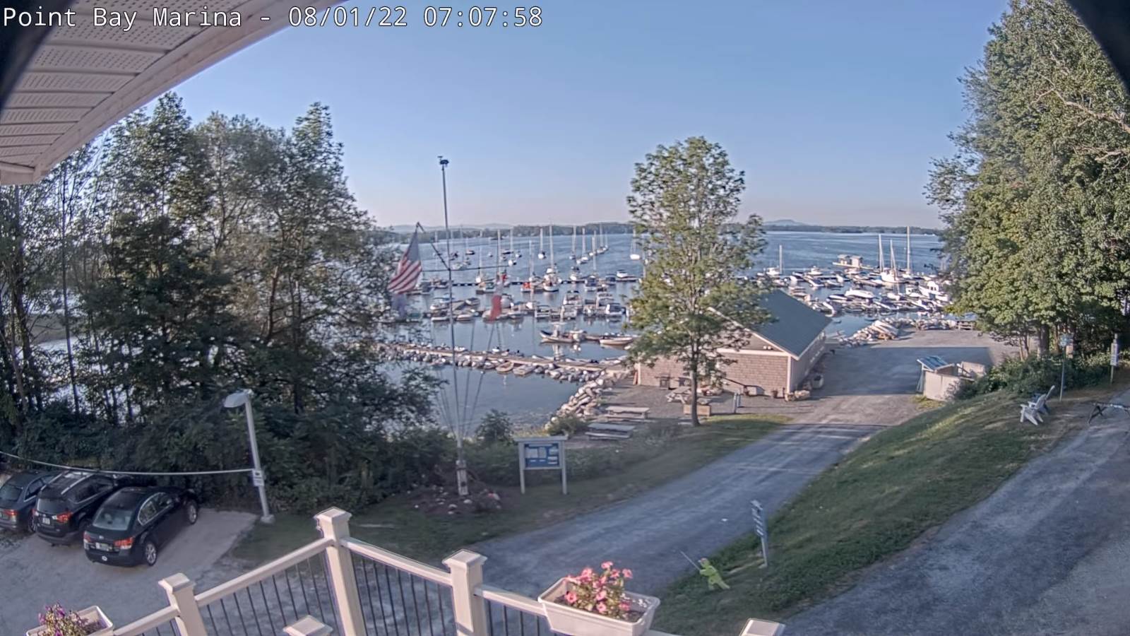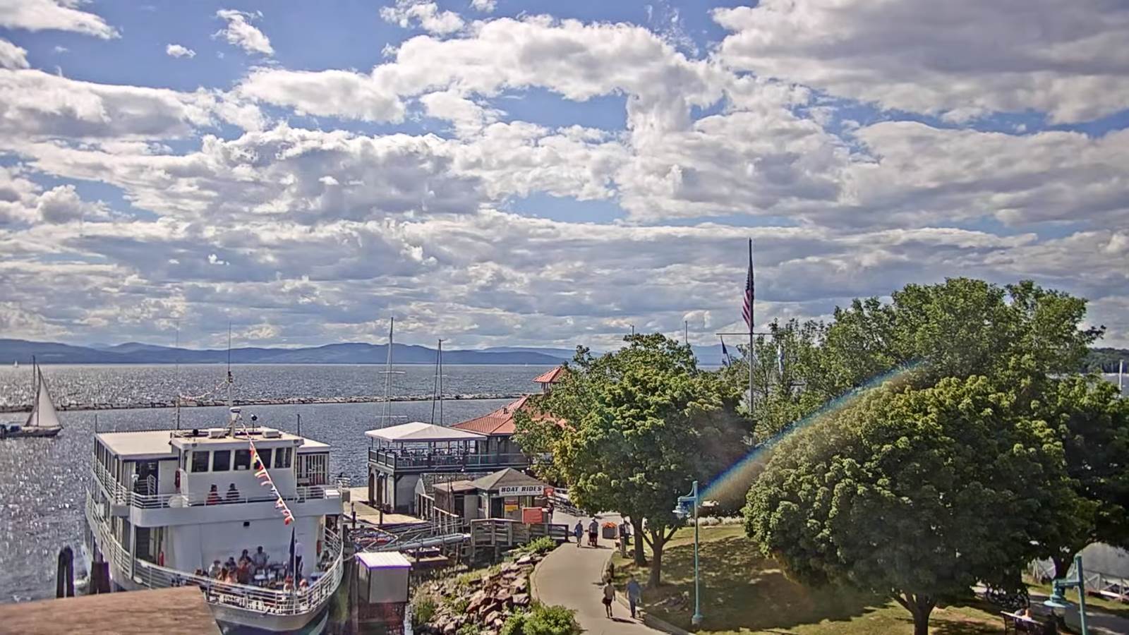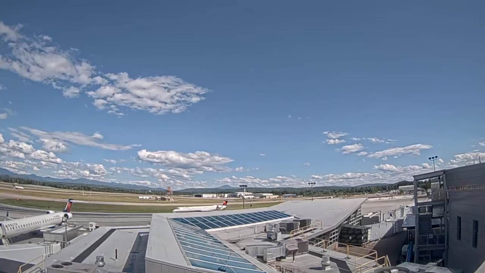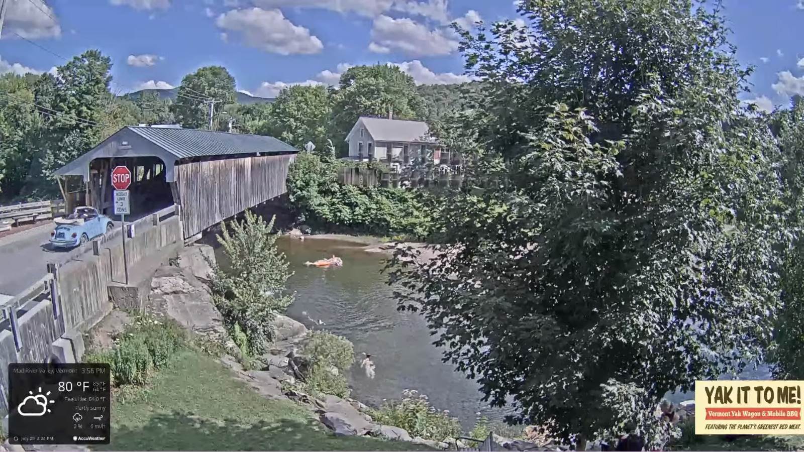
Updated Tuesday Morning Weather — August 2nd, 2022

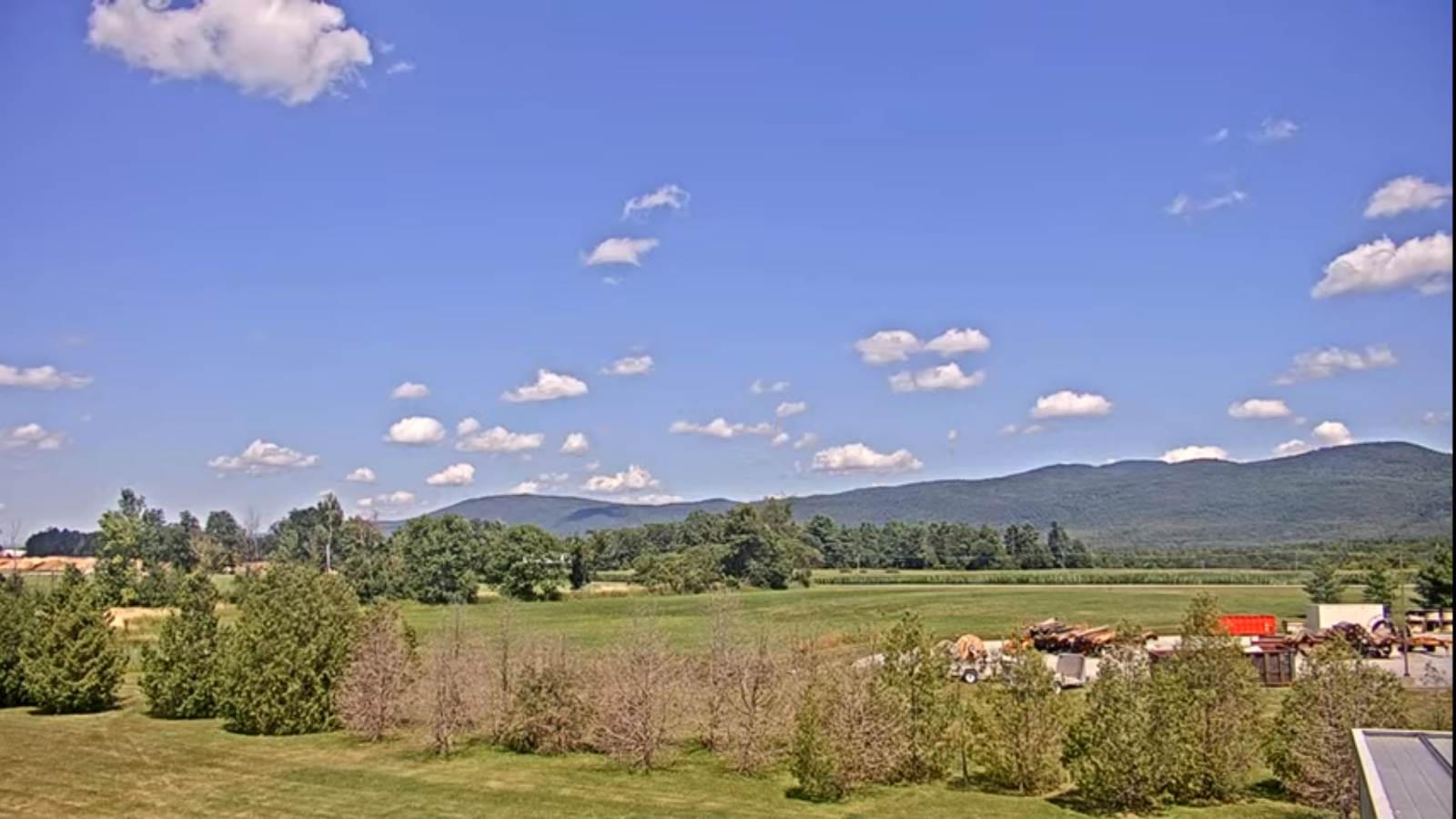
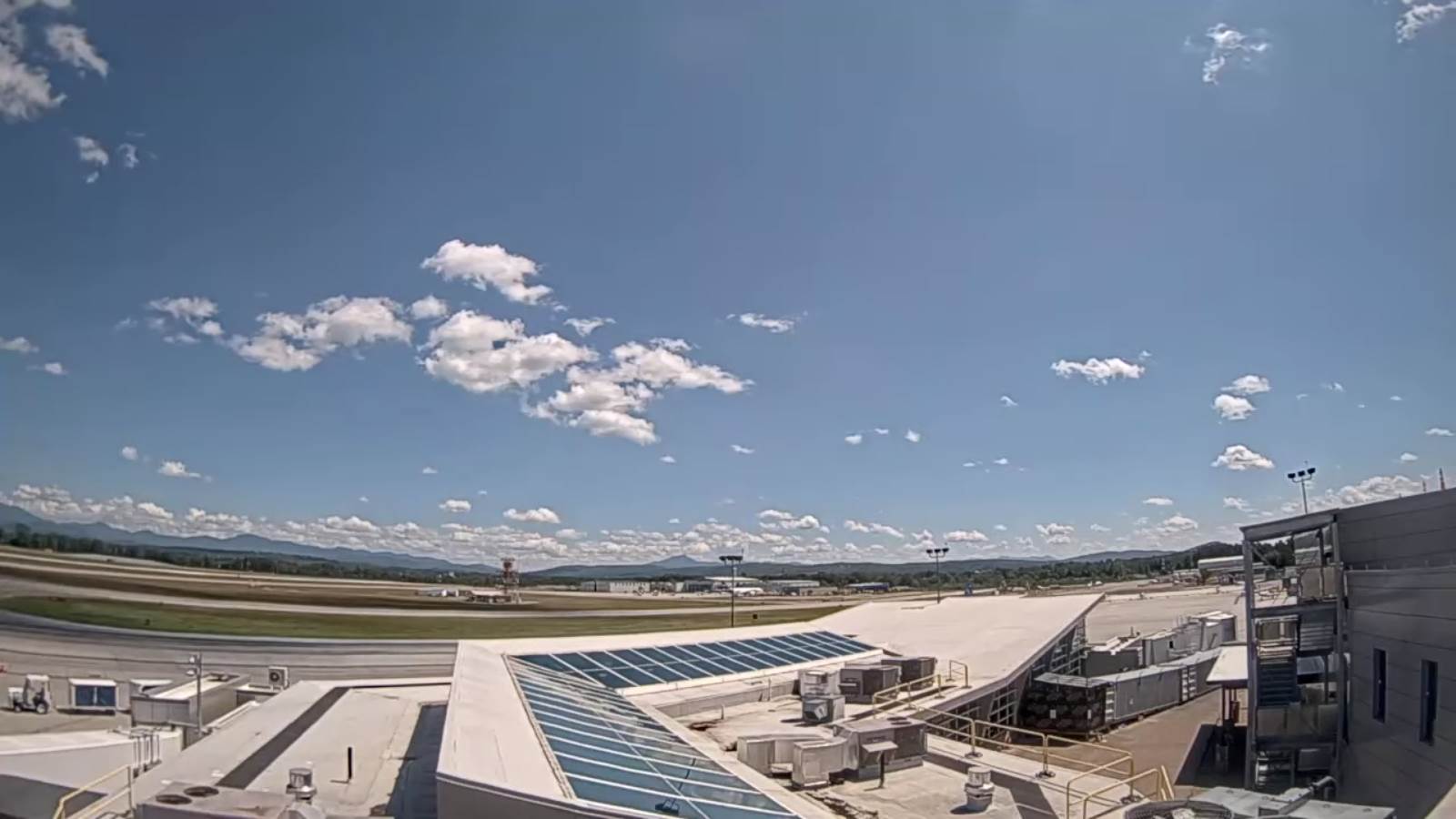
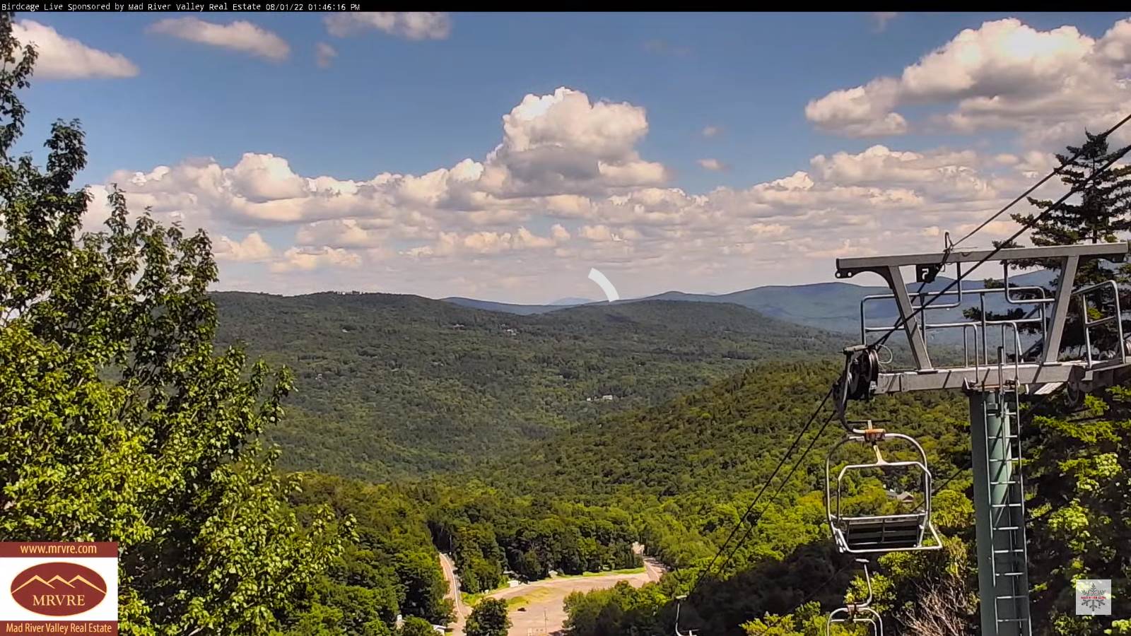
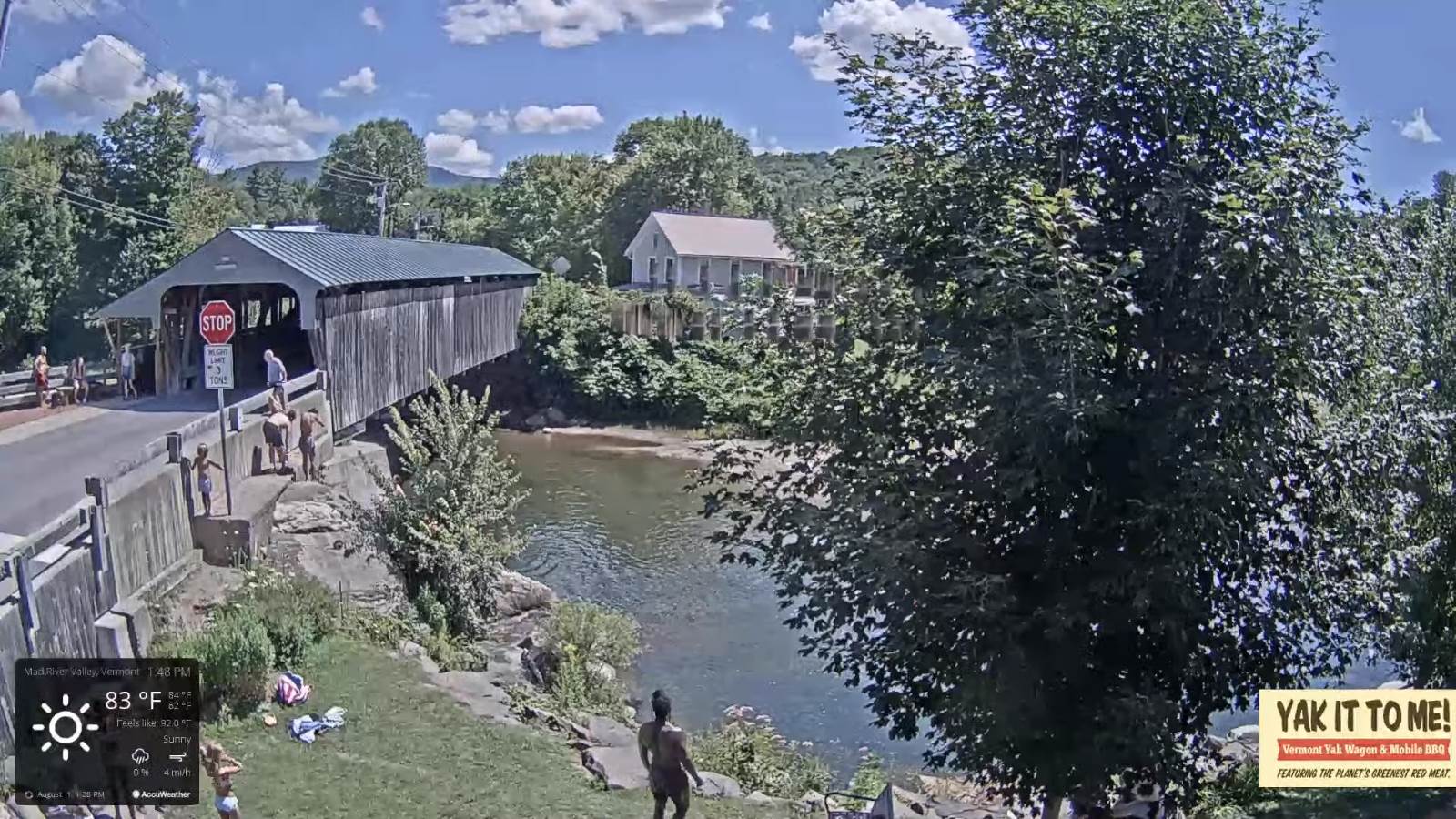
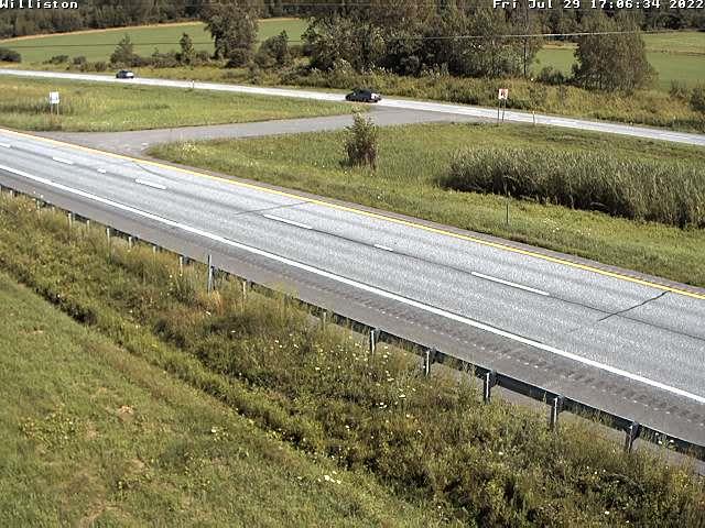
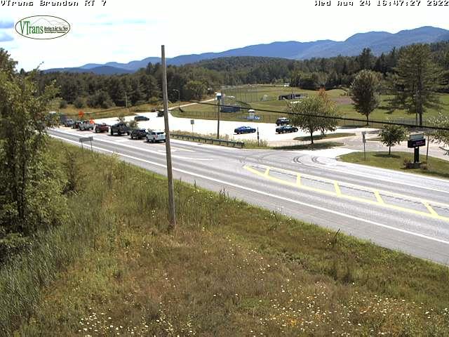
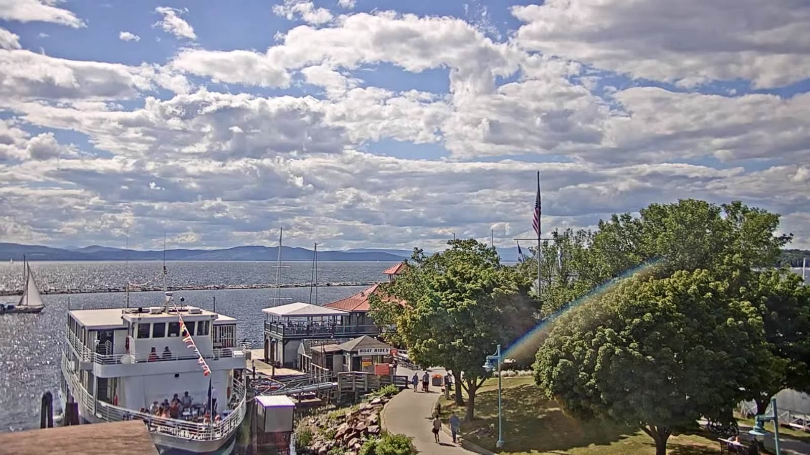
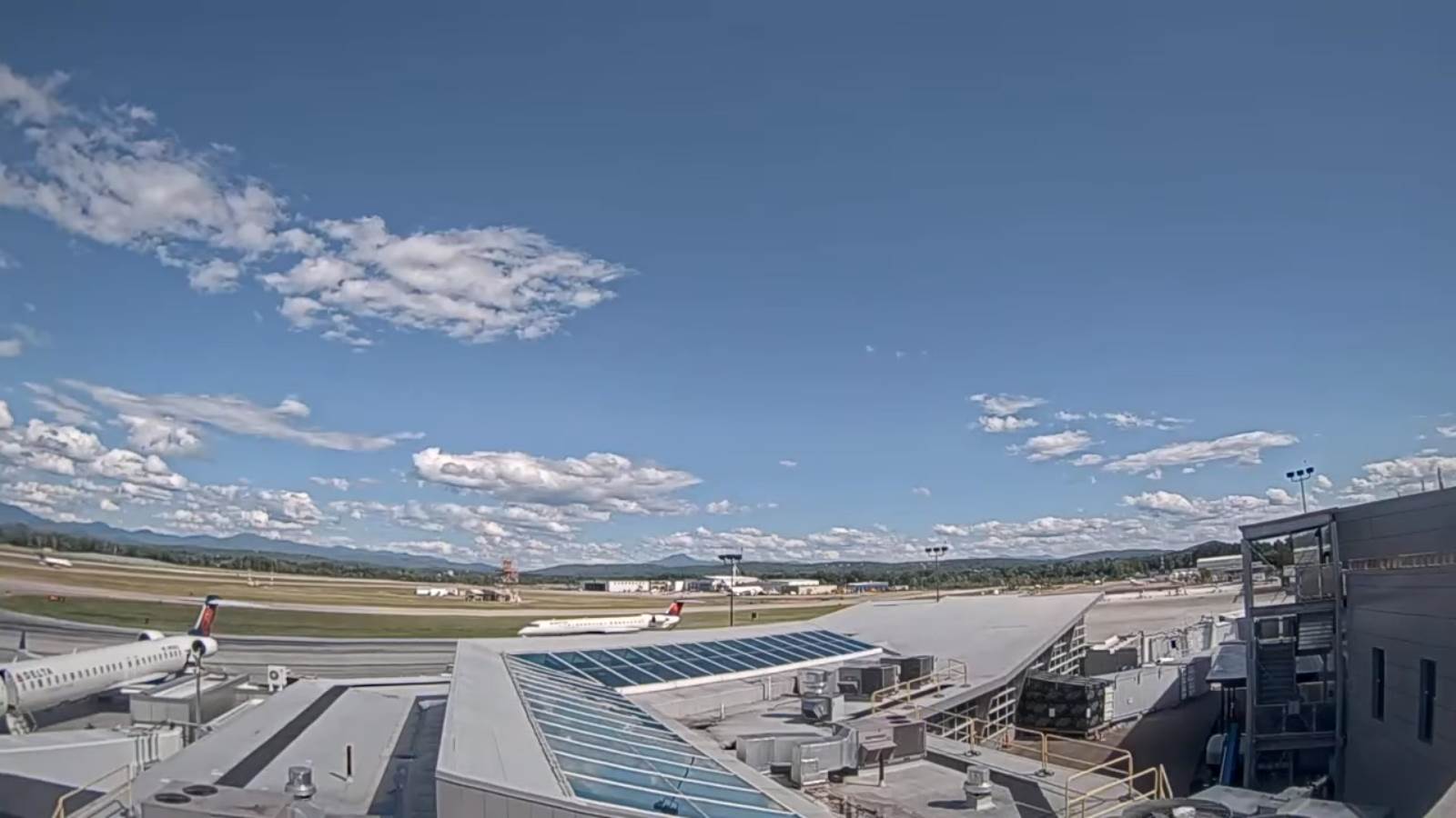
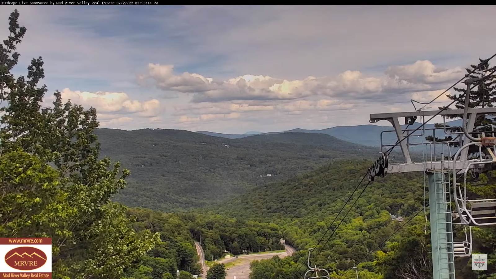
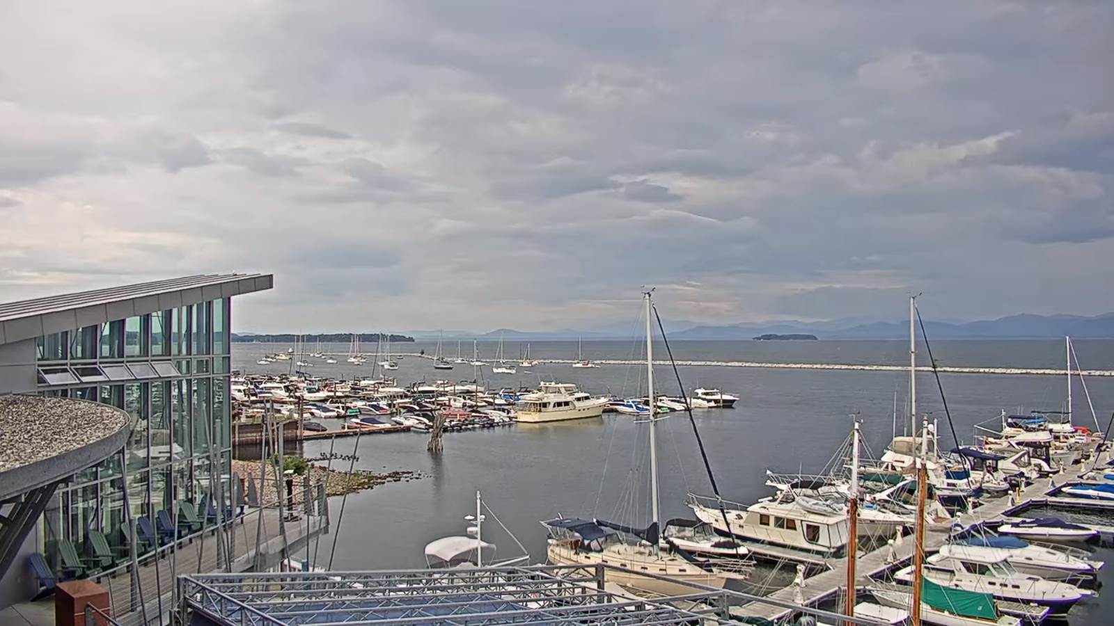
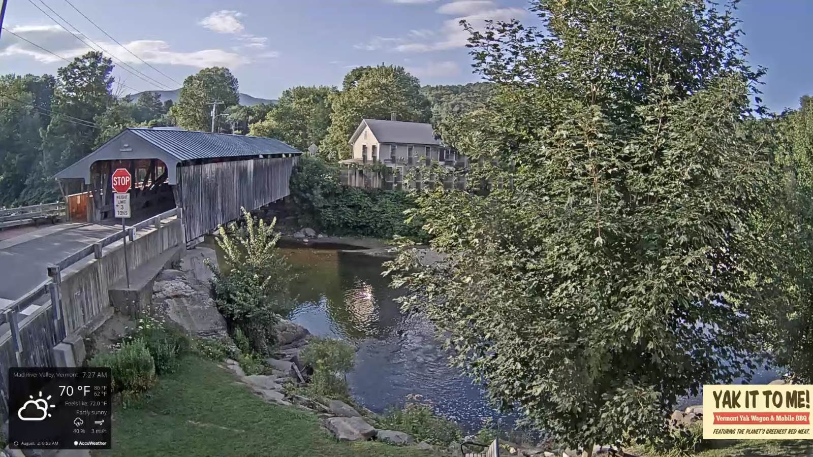
TODAY: Mixed sun and clouds. Widely scattered showers & a few thunderstorms possible northern tier this afternoon. Muggy. A high in the low 80s. Southwest winds shifting to northwesterly late 10 to 15 mph.

TONIGHT: Any leftover showers exit early, then mostly clear and refreshingly less humid. Patchy valley fog. A low mid to upper 50s. Light northwest winds.

WEDNESDAY: A few clouds but a lot of sunshine and a beauty. Moderately humid. A high near 85. Light southwest winds.
Looking Further Ahead…

WEDNESDAY NIGHT: Fair early then increasing clouds and more humid. A low around 65.

THURSDAY: More clouds than sun. Hot and sticky. Scattered late afternoon showers and thunderstorms, some possibly strong and locally heavy northern areas. Showers and storms more isolated elsewhere. A high in the lower 90s. Possible heat indices in the mid to upper 90s.
FRIDAY: Considerable cloudiness. Chance for showers and thunderstorms some locally heavy. Continued very humid. A low mid to upper 60s. A high around 80.

SATURDAY: More clouds than sun. Muggy. Chance for showers and thunderstorms. A low upper 60s. A high low to mid 80s.
SUNDAY: Variable cloudiness. Scattered showers and thunderstorms in the afternoon. Stifling humidity. A low near 70. A high 80 to 85.

Average lows mid-50s to near 60. Average highs mid-70s to near 80.
RH/8-2[forecast][end]
Updated Monday Evening Forecast — August 1st — 2022

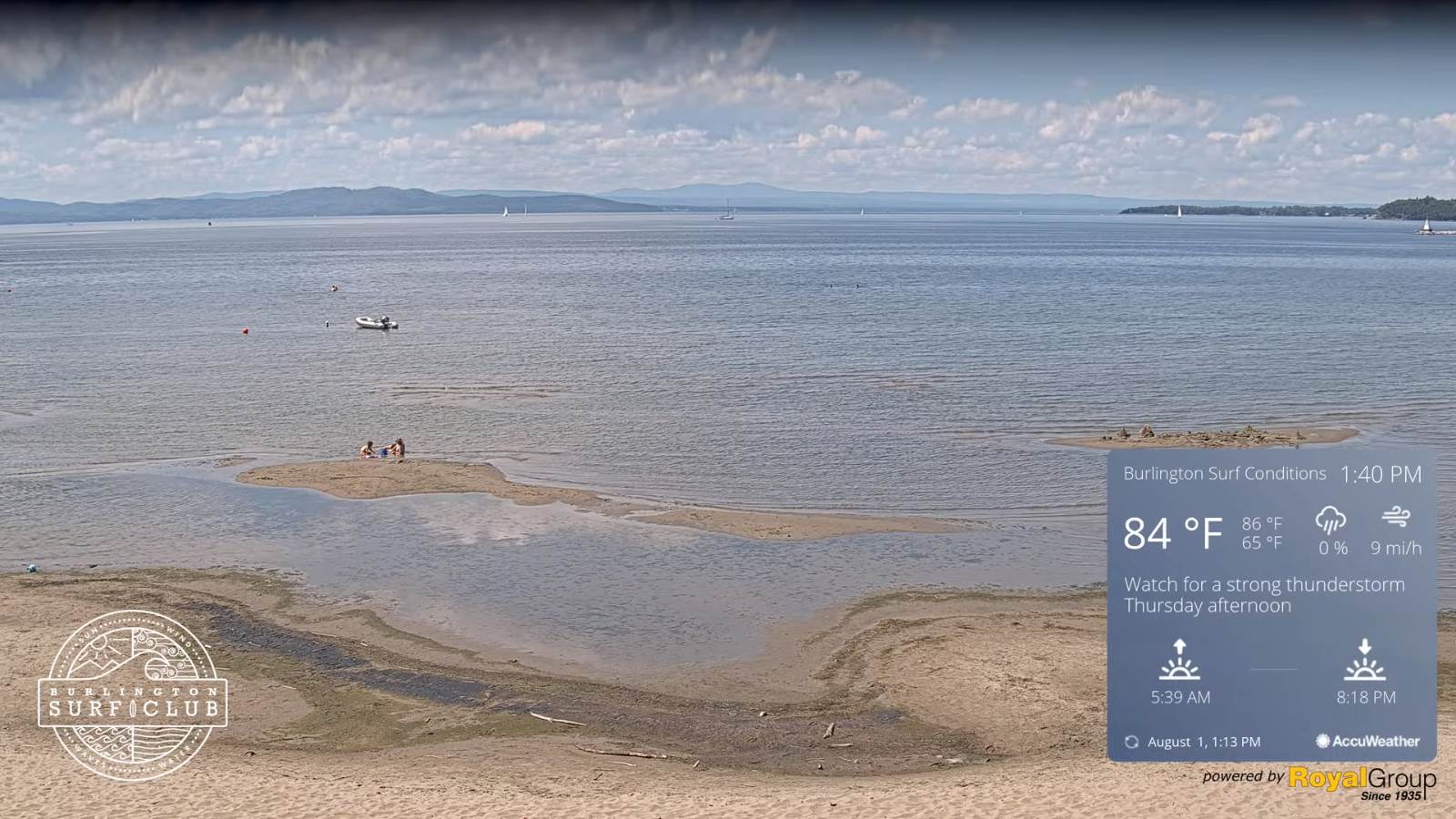
TONIGHT: Fair this evening, then mostly cloudy overnight. Slight chance for a shower western areas near daybreak. A low in the mid-60s.Light south winds

TOMORROW: Partly sunny. Widely scattered showers & perhaps a thunderstorm. More humid. A high in the lower 80s. Southwest winds shifting to northwesterly late 10 to 15 mph.

TUESDAY NIGHT: Becoming mostly clear and refreshingly less humid. Patchy valley fog. A low mid-50s to near 60. Light northwest winds.

WEDNESDAY: A few clouds but a lot of sunshine and a beauty. A high near 85. Light southwest winds.

Looking Further Ahead…

WEDNESDAY NIGHT: Fair early then increasing clouds. A low in the mid-60s.

THURSDAY: Variable cloudiness. Hot and sticky. Scattered late afternoon showers and thunderstorms, some strong and locally heavy. A high 90 to 95. Possible heat index 95 to 100.

FRIDAY: Considerable cloudiness. Chance for showers and isolated thunderstorms. A low in the low to mid 60s. Cooler and not so humid. A high 75 to 80.

SATURDAY: More clouds than sunshine. Chance for showers and isolated thunder. A low in the mid-60s. A high near upper 70s to around 80.

Average lows mid-50s to near 60. Average highs mid-70s to near 80.

RH/8-1[forecast][end]
Updated Monday morning Forecast — August 1st, 2022

TODAY: Morning sun gives way to afternoon clouds. Warmer and increasingly muggy. A high around 85. Light southwest breeze.

TONIGHT: Fair this evening, then mostly cloudy overnight. Slight chance for a shower western areas near daybreak. A low near 65.Light south winds

TUESDAY: Partly sunny. Widely scattered showers and a few thunderstorms possible. More humid. A high in the lower 80s. South winds shifting to northwesterly in the afternoon 10 to 15 mph.

Looking Further Ahead…

TUESDAY NIGHT: Becoming mostly clear and refreshingly less humid. Patchy valley fog. A low 55 to 60.

WEDNESDAY: A few clouds but a lot of sunshine and a beauty. A high near 85.

THURSDAY: Variable cloudiness. Scattered showers and thunderstorms, some strong and locally heavy. A low in the mid-60s. Hot and sticky. A high 90 to 95 with a possible heat index 95 to 100.

FRIDAY: Considerable cloudiness. Chance for showers and isolated thunderstorms. A low in the low to mid 60s. Cooler and not so humid. A high 75 to 80.

SATURDAY: More clouds than sunshine. Chance for showers and isolated thunder. A low in the mid-60s. A high near upper 70s to around 80.

Average lows mid-50s to near 60. Average highs mid-70s to near 80.

RH/8-1[forecast][end]
Updated Friday Evening Forecast — July 29th, 2022

TONIGHT: Mostly clear with some high cloudiness, more clouds far southern areas. Patchy valley fog. Refreshingly less humid. A low in the mid-50s. Light southwest winds.

TOMORROW: Morning sun gives way to more clouds for the afternoon. A high around 75. Northwest breeze 10 to 15 mph.

SATURDAY NIGHT: Becoming mostly clear and comfortably cool. Patchy valley fog. A low around 55. Light and variable winds.

SUNDAY: Fog burns off to morning sunshine then more afternoon cloudiness. A high reaching into the mid-80s. West to southwest winds 10 mph.

Looking Further Ahead…

SUNDAY NIGHT: Some high cloudiness otherwise fair. A low upper 50s.

MONDAY: Morning sun, then afternoon clouds. Warmer and increasingly muggy. A high in the upper 80s.

TUESDAY: Partly to mostly cloudy. Scattered afternoon showers and thunderstorms. More humid. A low around 65. A high near 85.

WEDNESDAY: Mixed sunshine and afternoon clouds. Maybe a mountain shower. A low around 60. A high around 85.

Average lows 60 to 65. Average highs upper-70s to low 80s.

RH/7-29[forecast][end]
Updated Thursday Evening Forecast — July 29th, 2022

TONIGHT: Mostly clear with some high cloudiness, more clouds far southern areas. Patchy valley fog. Refreshingly less humid. A low in the mid-50s. Light southwest winds.

TOMORROW: Morning sun gives way to more clouds for the afternoon. A high around 75. Northwest breeze 10 to 15 mph.

SATURDAY NIGHT: Becoming mostly clear and comfortably cool. Patchy valley fog. A low around 55. Light and variable winds.

SUNDAY: Fog burns off to morning sunshine then more afternoon cloudiness. A high reaching into the mid-80s. West to southwest winds 10 mph.

Looking Further Ahead…

SUNDAY NIGHT: Some high cloudiness otherwise fair. A low upper 50s.

MONDAY: Morning sun, then afternoon clouds. Warmer and increasingly muggy. A high in the upper 80s.

TUESDAY: Partly to mostly cloudy. Scattered afternoon showers and thunderstorms. More humid. A low around 65. A high near 85.

WEDNESDAY: Mixed sunshine and afternoon clouds. Maybe a mountain shower. A low around 60. A high around 85.

Average lows 60 to 65. Average highs upper-70s to low 80s.

RH/7-29[forecast][end]
Updated Friday Morning Forecast — July 28th, 2022

TODAY: Becoming partly to mostly sunny & less humid. A high near 80. Southwest breeze 10 to 15 mph.

TONIGHT: Mostly clear with some high cloudiness. Patchy valley fog. Refreshingly less humid. A low in the mid-50s. Light southwest winds.

SATURDAY: Morning sun then mostly cloudy in the afternoon. A high around 75. Northwest breeze 10 to 20 mph.

Looking Further Ahead…

SATURDAY NIGHT: Becoming mostly clear and comfortably cool. Patchy valley fog. A low around 55.

SUNDAY: Fog burns off to morning sunshine then more afternoon cloudiness. A high reaching into the mind 80s.

MONDAY: Morning sun, then afternoon clouds. Warmer and increasingly muggy. A low upper 50s. A high in the upper 80s.

TUESDAY: Partly to mostly cloudy. Scattered afternoon showers and thunderstorms. More humid. A low around 65. A high near 85.

WEDNESDAY: Mixed sunshine and afternoon clouds. Maybe a mountain shower. A low around 60. A high around 85.

Average lows 60 to 65. Average highs upper-70s to low 80s.

RH/7-29[forecast][end]
Updated Friday Morning Forecast — July 28th, 2022

TODAY: Becoming partly to mostly sunny & less humid. A high near 80. Southwest breeze 10 to 15 mph.

TONIGHT: Mostly clear with some high cloudiness. Patchy valley fog. Refreshingly less humid. A low in the mid-50s. Light southwest winds.

SATURDAY: Morning sun then mostly cloudy in the afternoon. A high around 75. Northwest breeze 10 to 20 mph.

Looking Further Ahead…

SATURDAY NIGHT: Becoming mostly clear and comfortably cool. Patchy valley fog. A low around 55.

SUNDAY: Fog burns off to morning sunshine then more afternoon cloudiness. A high reaching into the mind 80s.

MONDAY: Morning sun, then afternoon clouds. Warmer and increasingly muggy. A low upper 50s. A high in the upper 80s.

TUESDAY: Partly to mostly cloudy. Scattered afternoon showers and thunderstorms. More humid. A low around 65. A high near 85.

WEDNESDAY: Mixed sunshine and afternoon clouds. Maybe a mountain shower. A low around 60. A high around 85.

Average lows 60 to 65. Average highs upper-70s to low 80s.

RH/7-29[forecast][end]
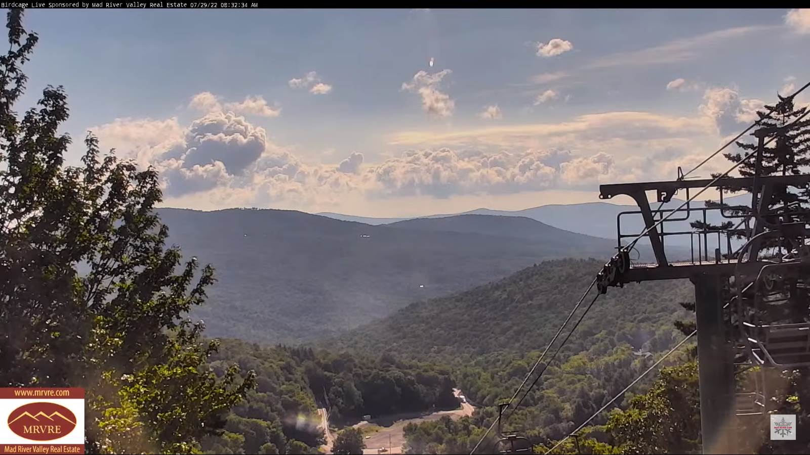
Updated Thursday Evening Forecast — July 28th, 2022

Severe Thunderstorm Watch expires 8 PM…

TONIGHT: Early evening showers and thunderstorms, one or two strong to locally severe…exiting to partial clearing. A low in the low 60s. Light southwest winds.

TOMORROW: Sunshine in the morning with some afternoon clouds. An isolated shower possible. Not so humid. A high upper 70s to near 80. Southwest breeze 10 to occasionally 20 mph.

FRIDAY NIGHT: Mostly clear. Isolated valley fog. Refreshingly less humid. A low in the mid-50s. Light southwest winds.

SATURDAY: Morning sun then afternoon clouds. Maybe an afternoon shower near the Canadian border. A high around 75. Northwest breeze 10 to 20 mph.

Looking Further Ahead…

SATURDAY NIGHT: Mostly clear and comfortable. Isolated valley fog. A low in the mid-50s

SUNDAY: Sunshine with afternoon cloudiness. A high in the mid-80s.

MONDAY: Morning sun, then afternoon clouds. A low upper 50s. A high mid to upper 80s.

TUESDAY: More clouds than sun. Scattered afternoon showers and thunderstorms. More humid. A low around 65. A high in the mid-80s.

Average lows 60 to 65. Average highs upper-70s to low 80s.

RH/7-28[forecast][end]
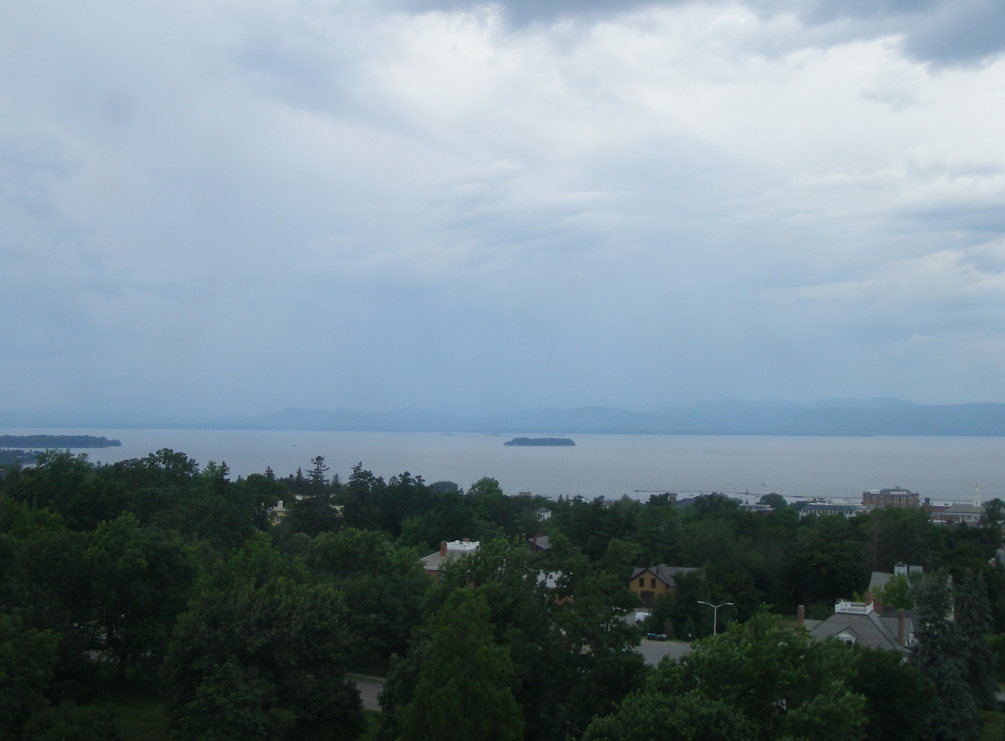
Updated Thursday Morning Forecast — July 28th, 2022

TODAY: Partly sunny this morning, more clouds later this afternoon. Scattered mid- afternoon thru early evening showers and thunderstorms…some strong to locally severe with briefly heavy downpours. Sticky, with a high 80 to 85. South to southwest breeze 10 mph.

WDEV Night Thunder Road

TONIGHT: A few early evening showers and thunderstorms exiting to partial clearing. A low in the low 60s. Light southwest winds.

FRIDAY: Variable cloudiness. Widely scattered afternoon showers and isolated thunderstorms. Not as humid in the afternoon. A high upper 70s to near 80. West to southwest breeze 10 to 15 mph.

Looking Further Ahead…

FRIDAY NIGHT: Some evening cloudiness, then mostly clear. Refreshingly less humid. A low in the mid-50s.

SATURDAY: More sun than clouds. Maybe brief afternoon shower or two. A high around 75.

SUNDAY: Sunshine with afternoon cloudiness. A low in the mid-50s. A high in the mid-80s.

MONDAY: Morning sun, then afternoon clouds. A low upper 50s. A high mid to upper 80s.

TUESDAY: More clouds than sun. Scattered afternoon showers and thunderstorms. More humid. A low around 65. A high in the mid-80s.

Average lows 60 to 65. Average highs upper-70s to low 80s.

RH/7-28[forecast][end]
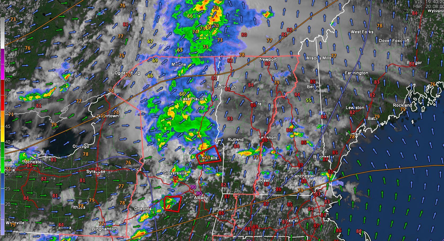
Updated Wednesday night Forecast — July 27th, 2022

TONIGHT: Mostly fair with high cloudiness. A low in the mid-50s to low 60s warmest Champlain Valley. Light south winds.

TOMORROW: Mixed sun and clouds. Scattered afternoon showers and thunderstorms, some strong to locally severe with briefly heavy downpours. Sticky, with a high 80 to 85. South to southwest breeze 10 mph.

WDEV Night Thunder Road

THURSDAY NIGHT: A few early evening showers and thunderstorms exiting to partial clearing. A low 60 to 65. Light southwest winds.

FRIDAY: Variable cloudiness. Widely scattered afternoon showers and isolated thunderstorms. Not as humid in the afternoon. A high upper 70s to near 80. West to southwest breeze 10 to 15 mph.

Looking Further Ahead…

FRIDAY NIGHT: Some evening cloudiness, then mostly clear. Refreshingly less humid. A low 55 to 60.

SATURDAY: More sun than clouds. Maybe brief afternoon shower or two. A high in the mid-70s.

SUNDAY: Sunshine with afternoon cloudiness. A low in the mid-50s. A high in the lower 80s.

MONDAY: Morning sun, then afternoon clouds. A low near 60. Warmer with a high near 85.

Average lows 60 to 65. Average highs upper-70s to low 80s.

RH/7-27[forecast][end]