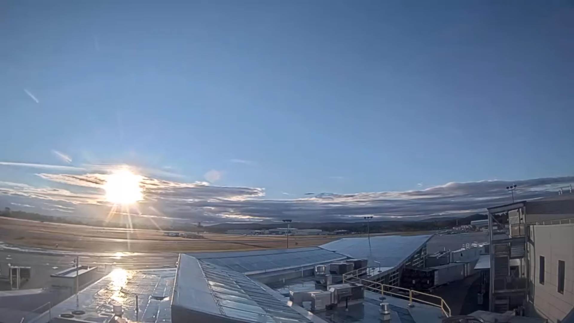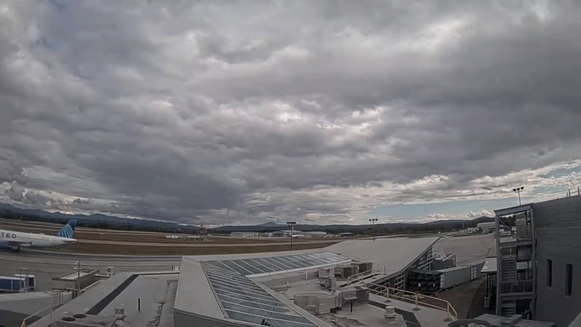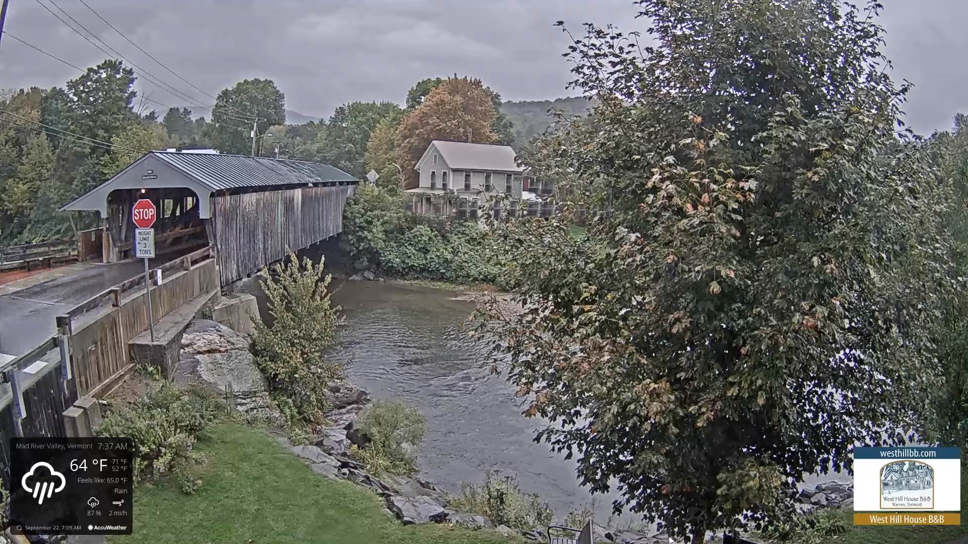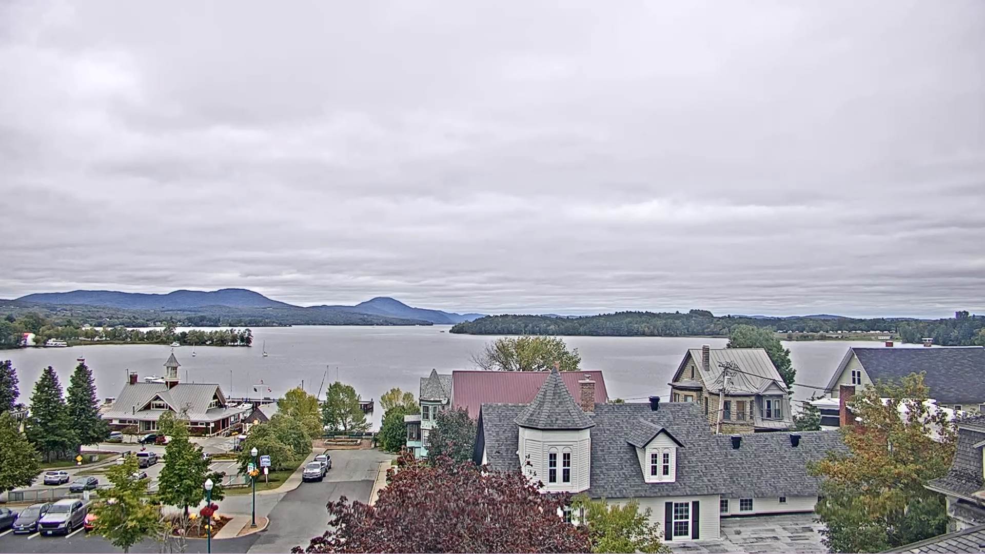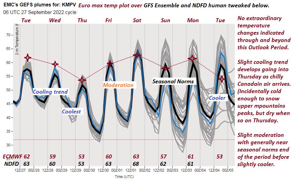
TONIGHT: Mainly cloudy. An isolated shower becoming more numerous toward daybreak. A low mid to upper 40s. Light southwest winds.
TOMORROW: Considerable cloudiness. Scattered rain showers. A high near 60. Winds northwest 10 to 15 mph.
WEDNESDAY NIGHT: Partly to mostly cloudy. An evening sprinkle or two. A low mid-40s. Light northwest winds.
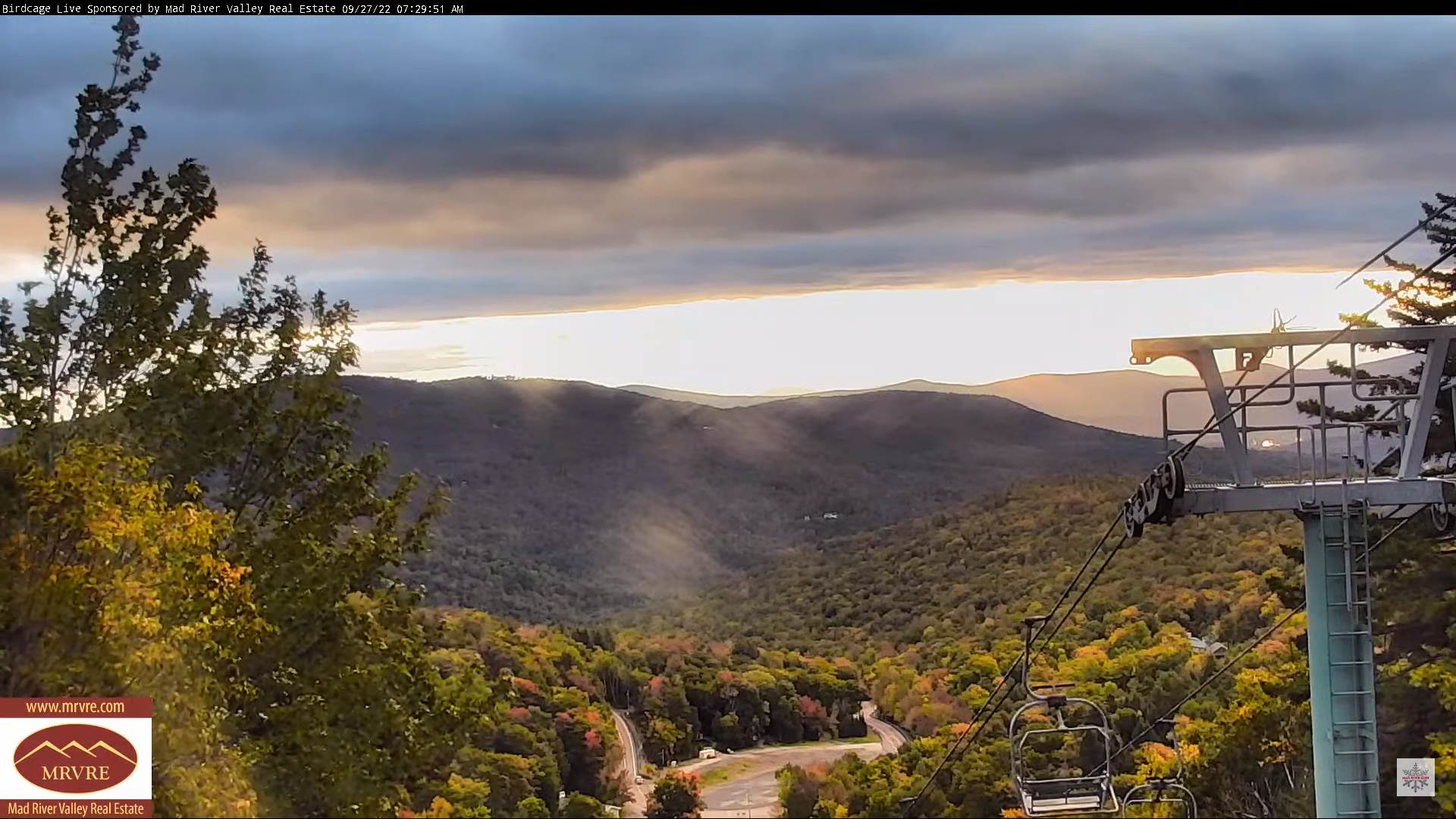
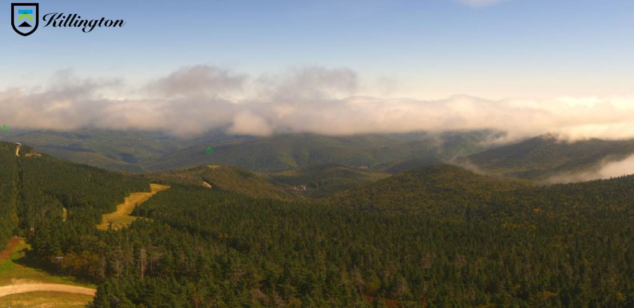
THURSDAY: Patchy valley fog & low clouds, gives way to breaks of intervals of sun. Rather cool. A high in the mid-50s. Northwest winds 10 mph.
Looking Further Ahead…
THURSDAY NIGHT: Mostly clear. A low around 35 with scattered frost likely.
FRIDAY: Pick of the week. Patchy valley fog, then bright sun and blue skies. A high around 60.
SATURDAY: Patchy valley fog burns off sunshine becoming filtered though high clouds. A low 35 to 40. A high in the mid-60s.
SUNDAY: Mostly sunny. A low in the 40s. A high in the low 60s.
Average lows upper 30s to lower 40s. Average highs low to mid-60s.
RH/9-27[forecast][end]