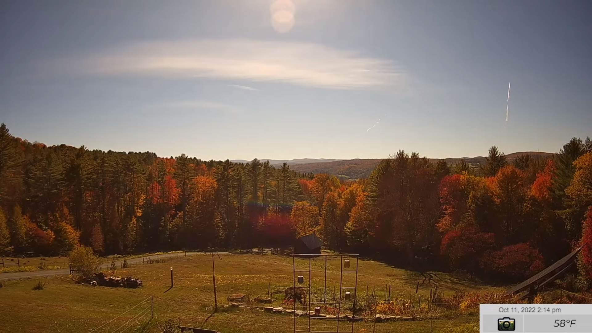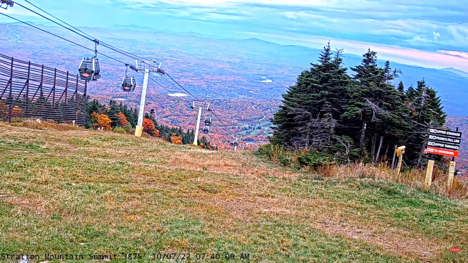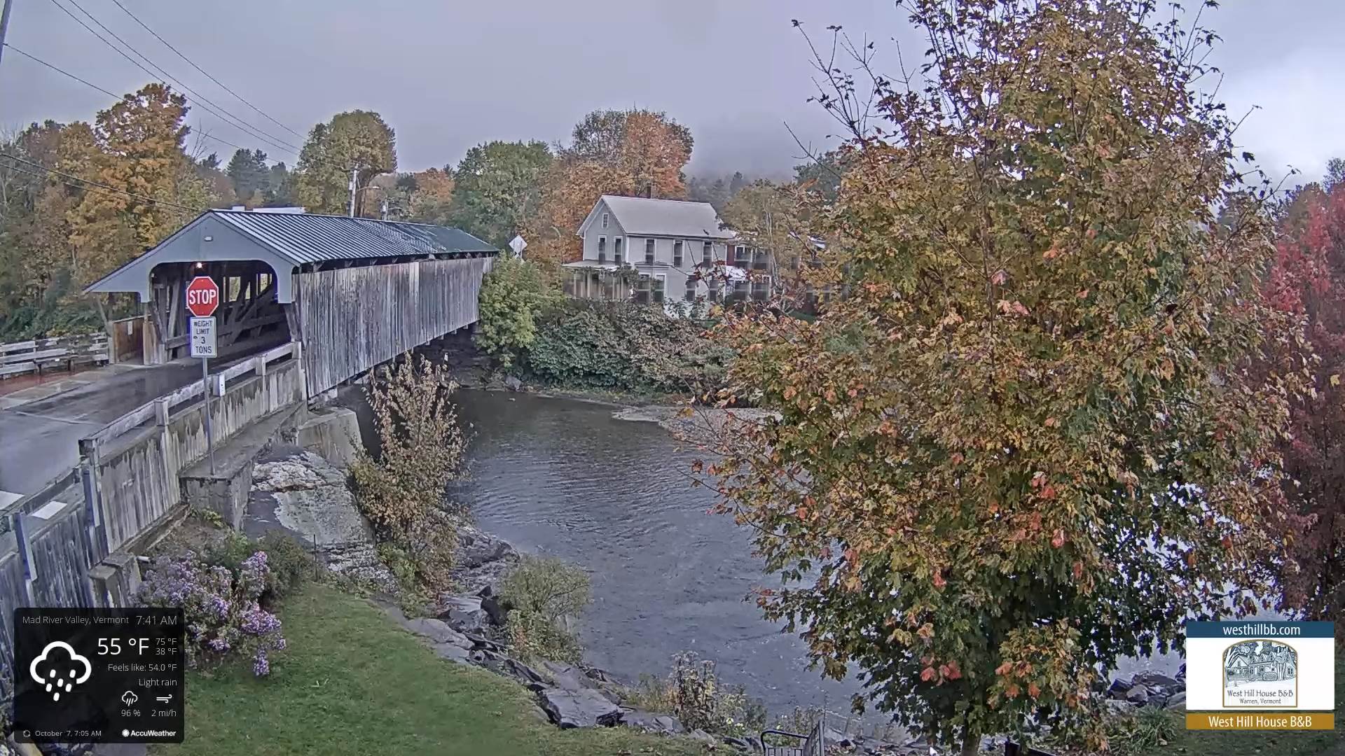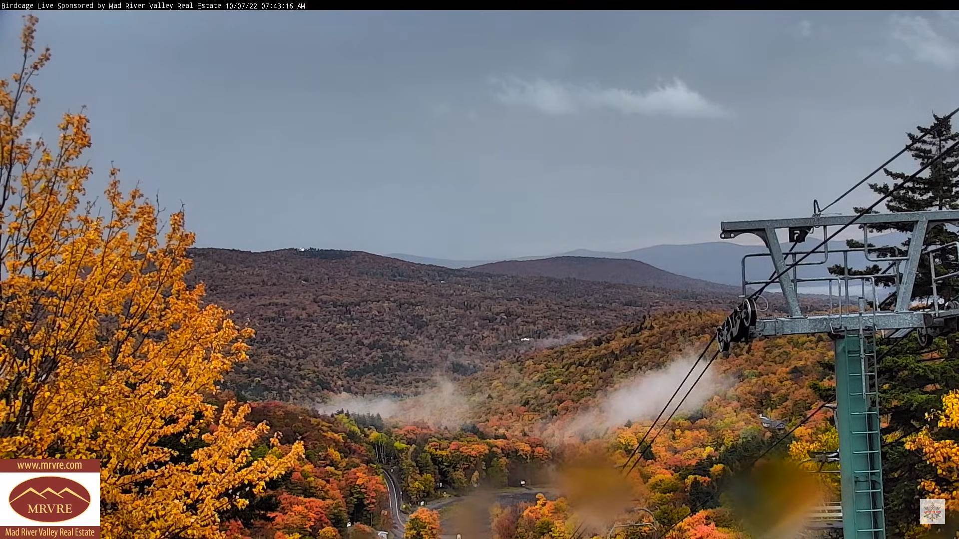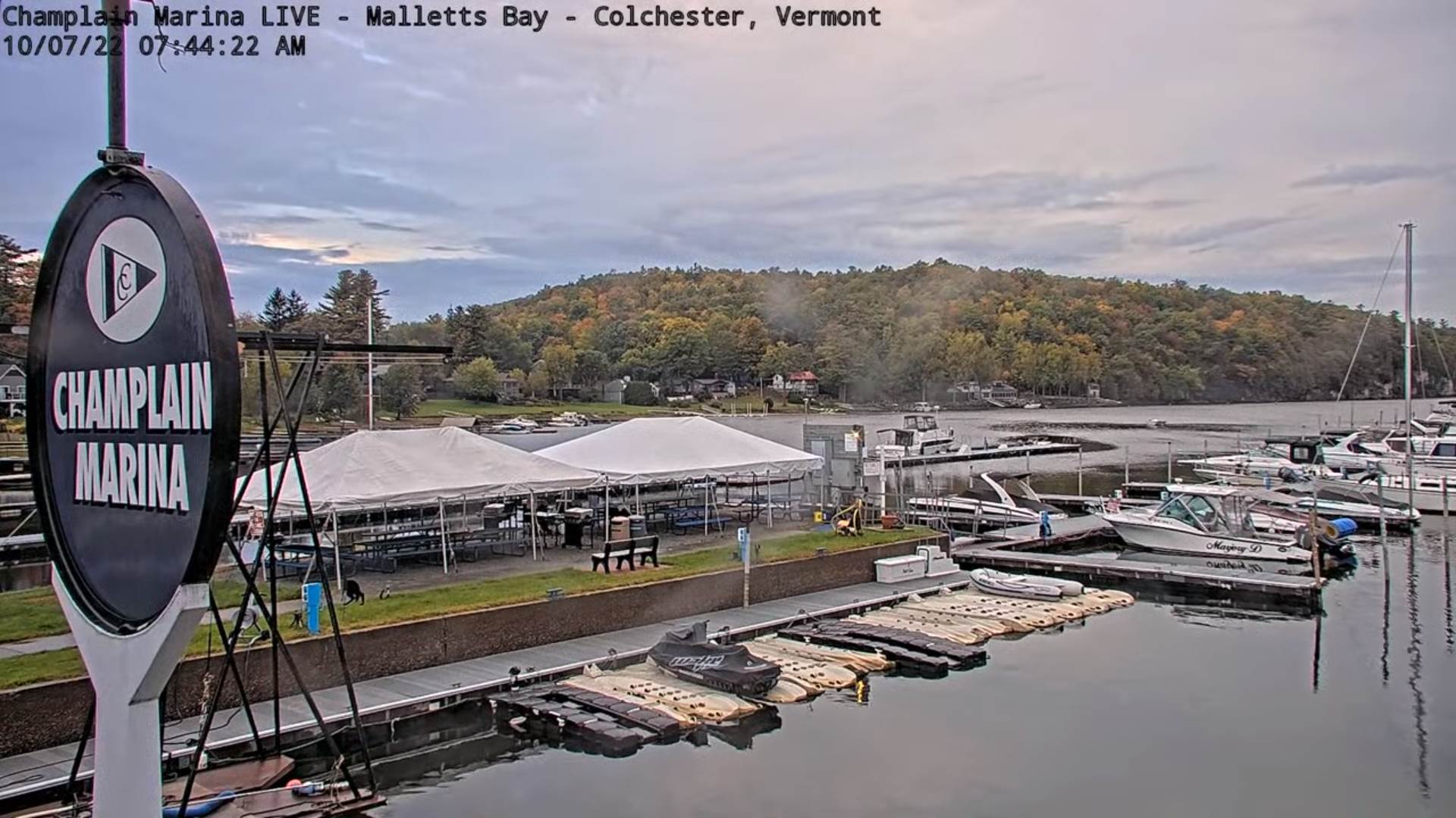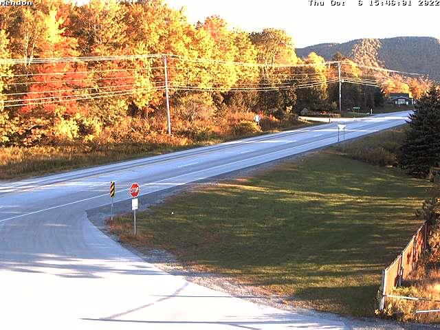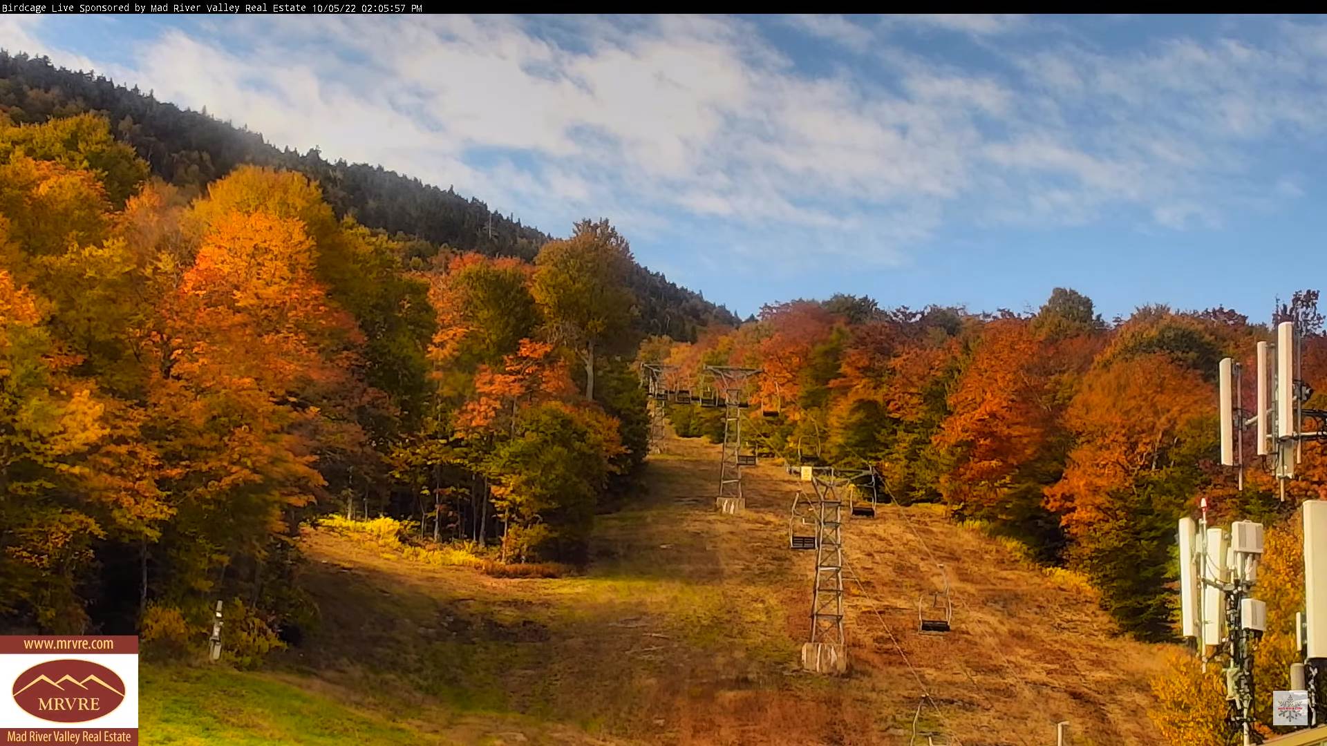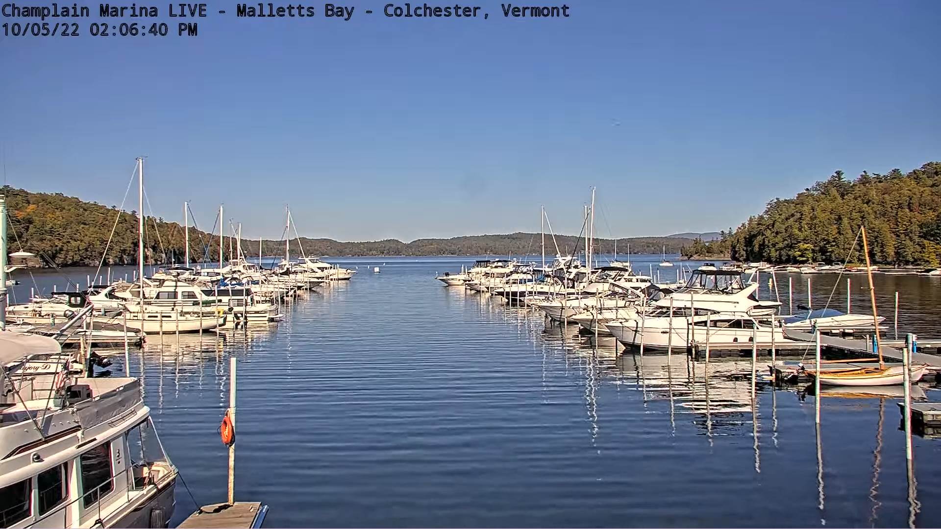
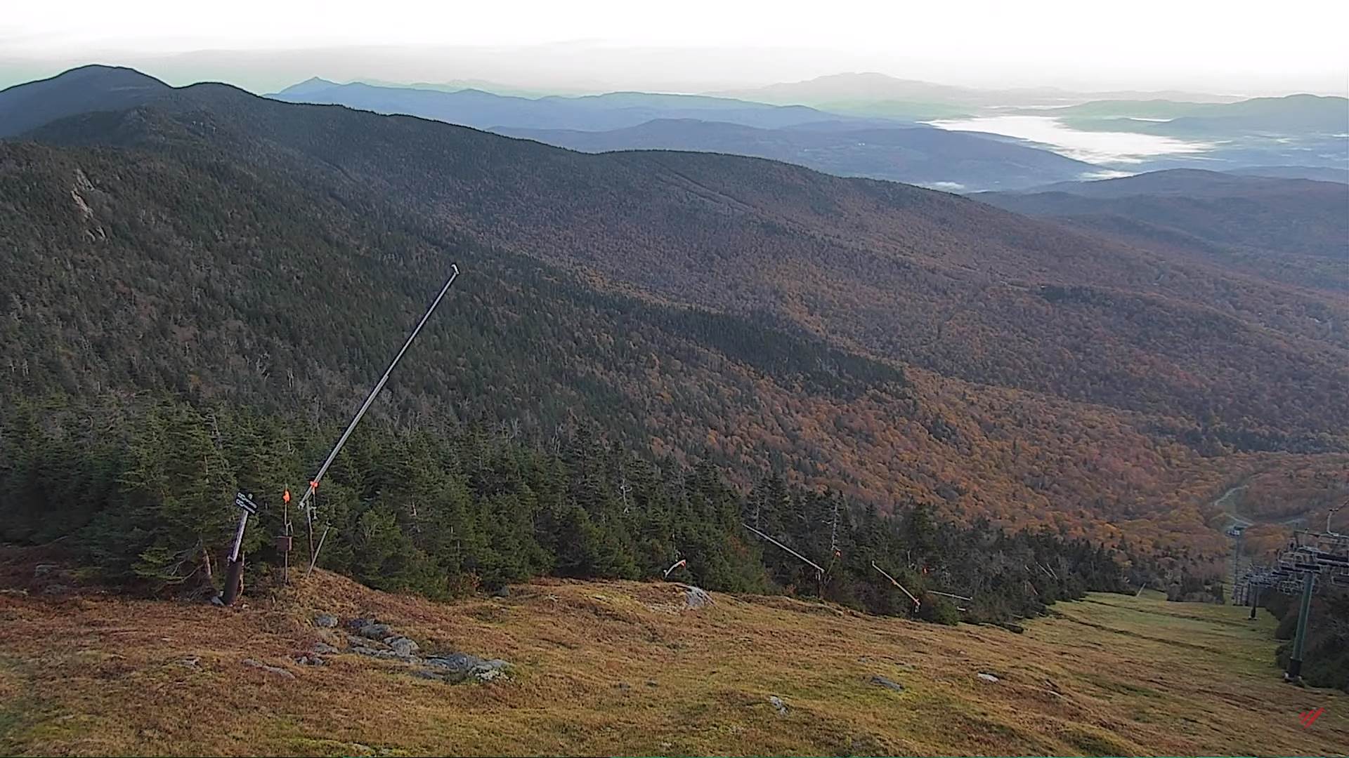
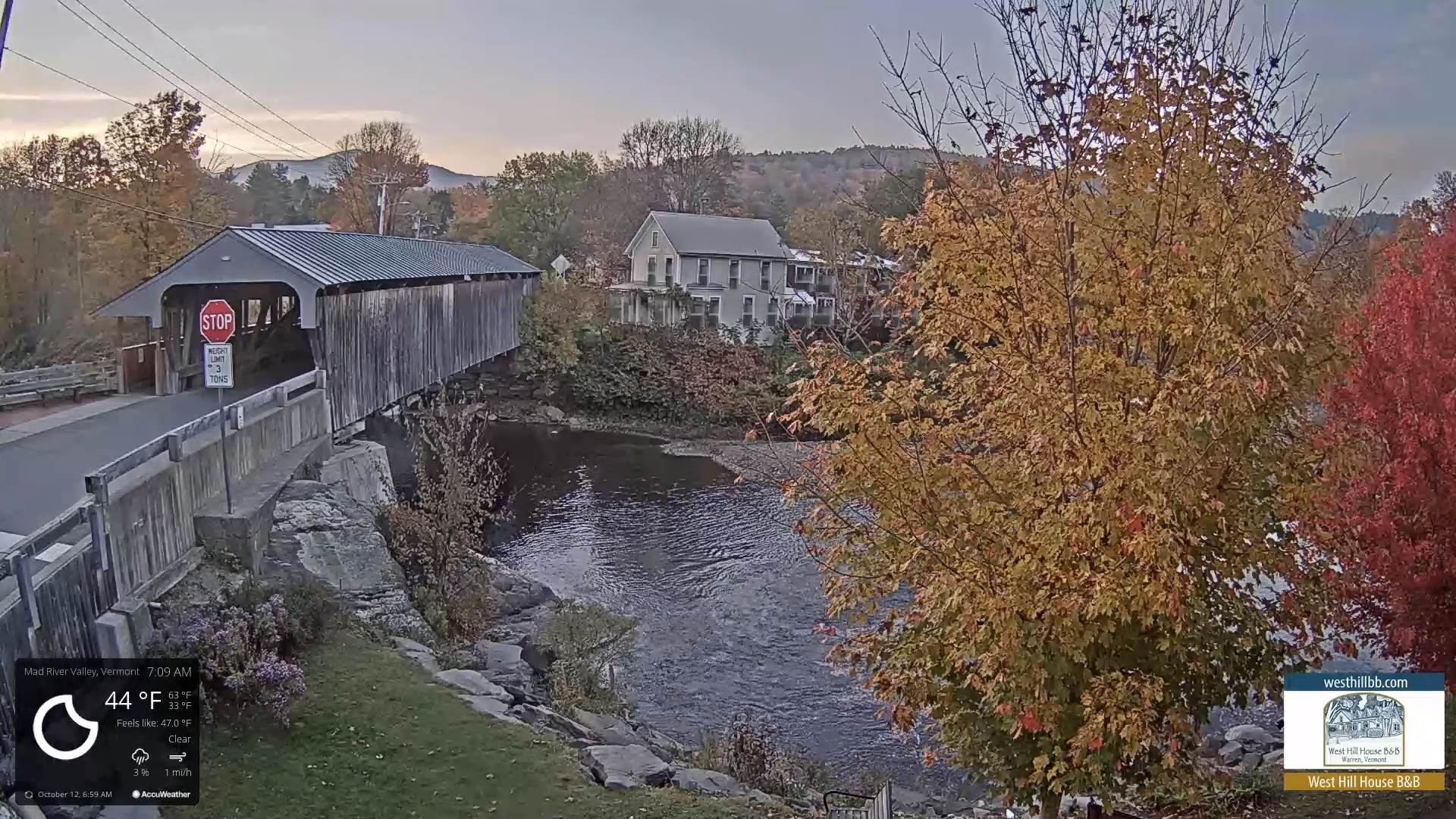
TODAY: Sunshine filtered by high cloudiness. A high near 70. South breeze 10 mph stronger near Lake Champlain.
TONIGHT: Variable high cloudiness otherwise fair. A low 45 to 50. Light southeast breeze, stronger toward the lake.
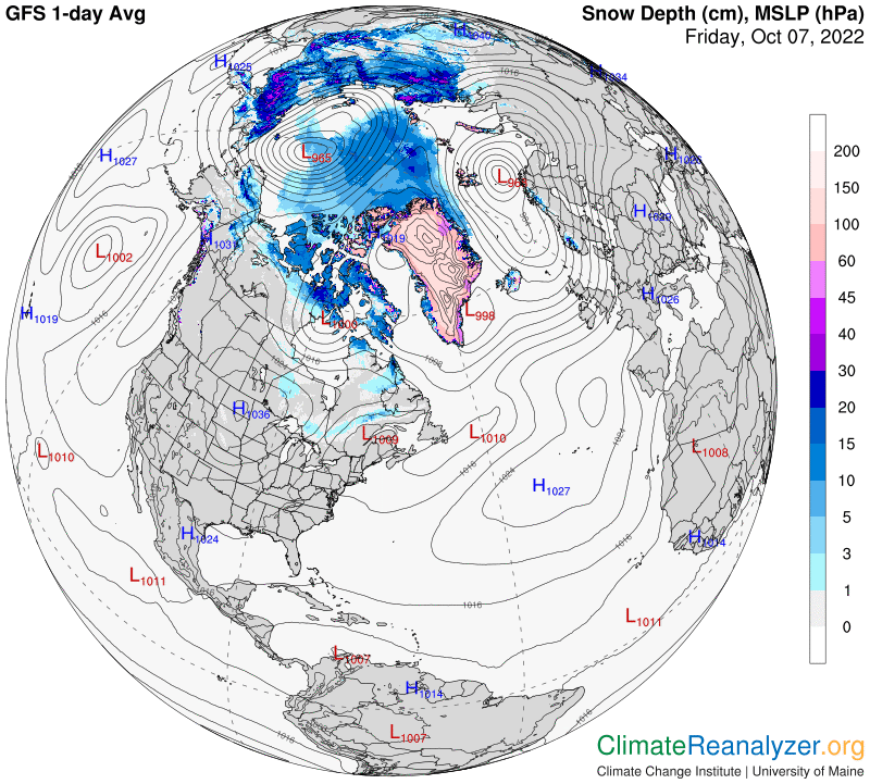
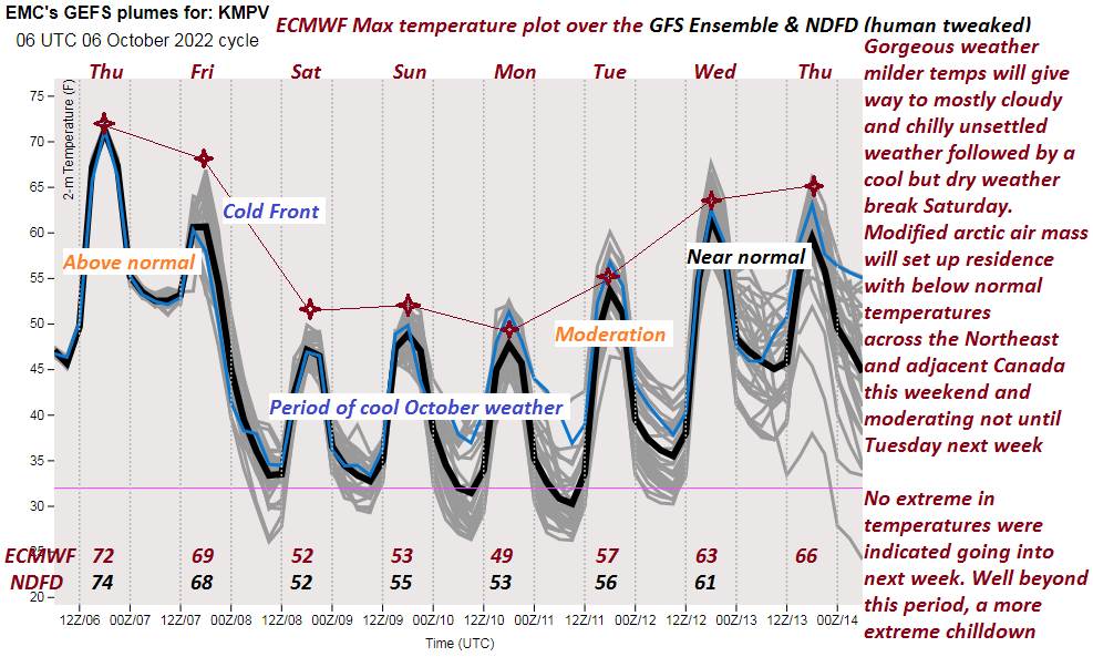
THURSDAY: Some filtered sunshine then clouding up, showers likely arriving before dark. Continued mild and breezy to windy at times. A high near 65. Southeast winds 10 to 25 mph with higher gusts Champlain valley, elevated terrain & western slopes.
Looking Further Ahead…
THURSDAY NIGHT: Breezy to windy with a round of showers and possible thunderstorms. A low 50 to 55. Gusty south winds.
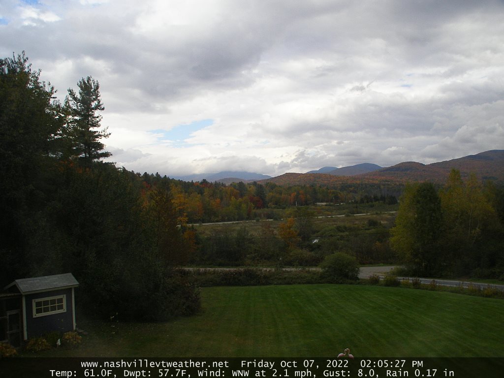
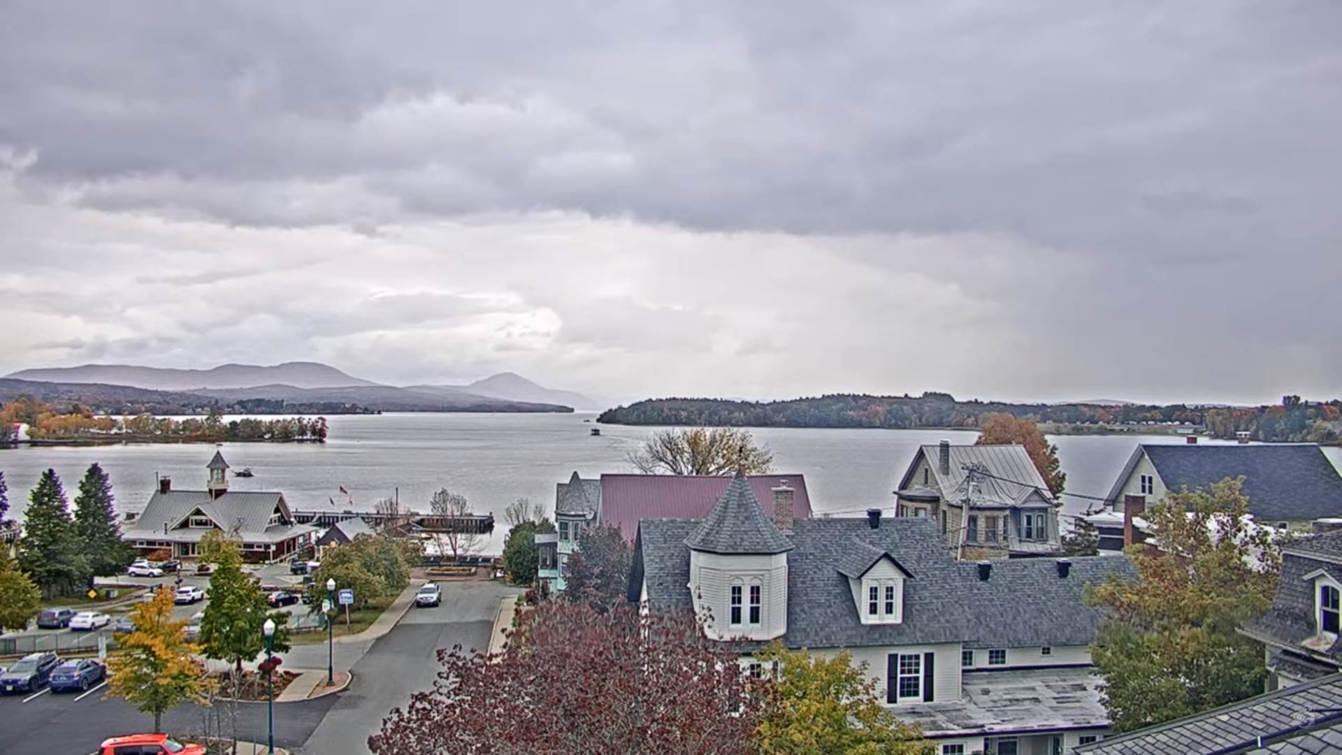
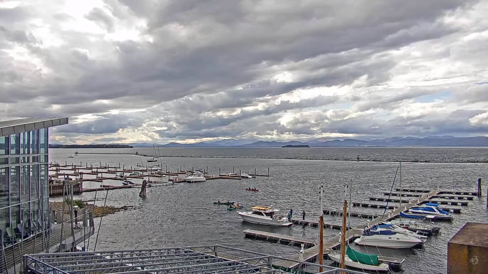
FRIDAY: Breezy to windy with a chance for showers eastern areas, exiting to increasing sunshine in the afternoon. A high 60 to 65.
SATURDAY: Partly to mostly sunny after patchy valley fog. A low upper 30s to near 40. A high 60 to 65.
SUNDAY: Mostly cloudy. Chance for showers drying up later in the afternoon. A low in the 40s. A high in the low 60s.
MONDAY: More clouds than sun & breezy. Slight chance for showers. A low in the 30s. A high mid-50s to near 60.
Average lows in the low to mid 30s. Average highs 55 to 60
RH/10-12[forecast][end]