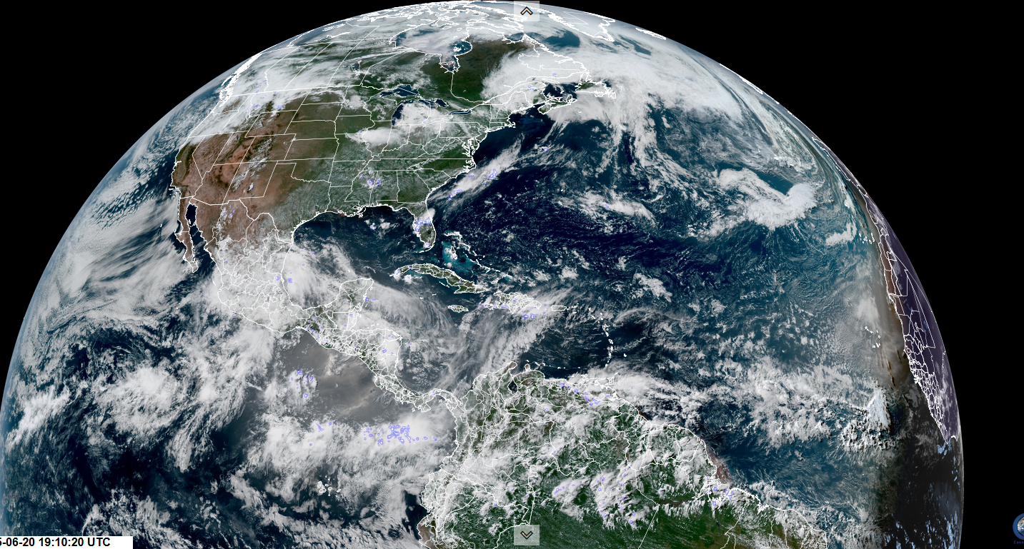
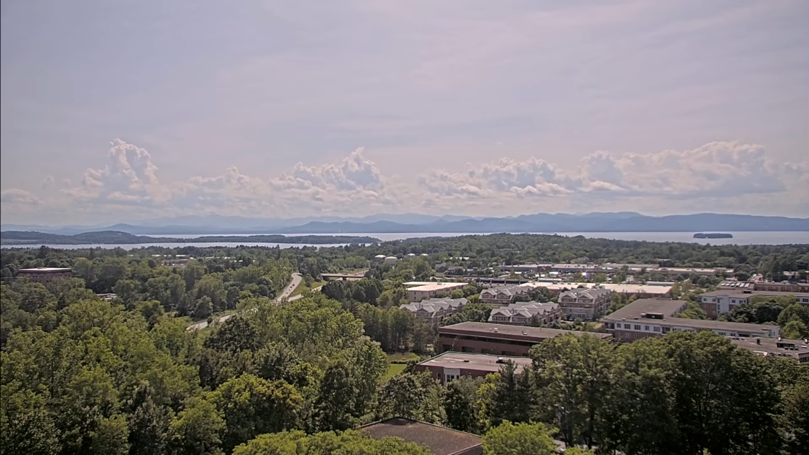
Roger Hill’s Radio Vermont Forecast 3:00 PM WEDNESDAY 6-25-25
TONIGHT: Mostly clear for a time this evening, then more clouds overnight. Cooler and less humid. A low in the mid to upper 50s. Light north to northeast winds.

TOMORROW: Considerable cloudiness. Chance for a brief sprinkle or two southern areas. Cool. A high around 70. Light north to northeast winds.
THURSDAY NIGHT: Partly to mostly cloudy with a sprinkle southern areas. Comfortable. Lows 50 to 55. Light north to northeast winds.

FRIDAY: Partial morning sun then clouding up. Rising chance for showers maybe a rumble of thunder northwestern areas late. Below seasonal norms. A high mid to upper 60s. Southeast breeze 10 mph.
Looking further ahead
FRIDAY NIGHT: Cloudy. Good chance for showers…some moderate with a risk for thunder northern Vermont. Lows mid to upper 50s.
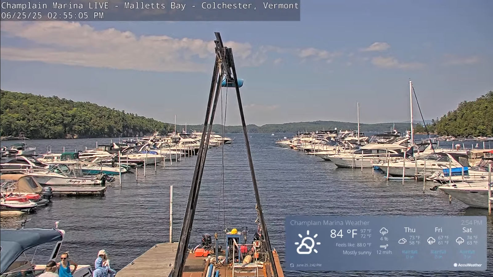
SATURDAY: Chance for showers and thunderstorms…some heavy. Rather damp and cool. Highs mid to upper 60s.
SUNDAY: Lots of clouds with intervals of late day sun. Moderately humid. A low 55 to 60. Warming trend. Highs near 75.
MONDAY: Morning clouds then partly sunny. A low in the upper 50s. A high 80 to 85.

Average low: low to mid-50s. Average highs: 75 to 80
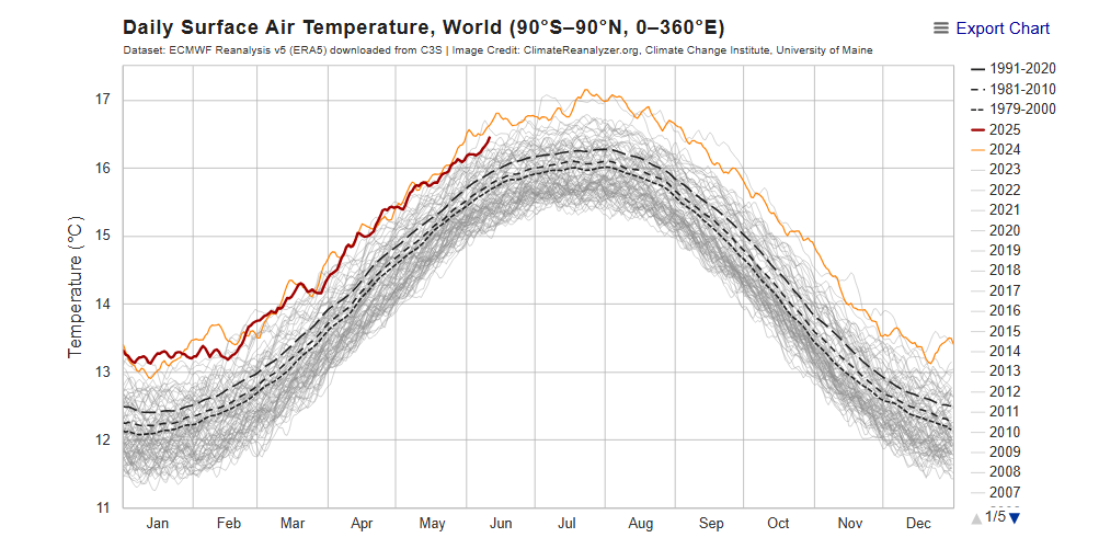
Peak of Meteorological Summer July 22nd.
Admin: Summer Vacation 1 month after 4th of July. Fox Trot Delta Tango

RH/6-25[forecast][end]