My Updated Thursday Night Forecast — August 7th, 2025

Roger Hill’s Radio Vermont Forecast 3:00 PM THURSDAY 8-7-25

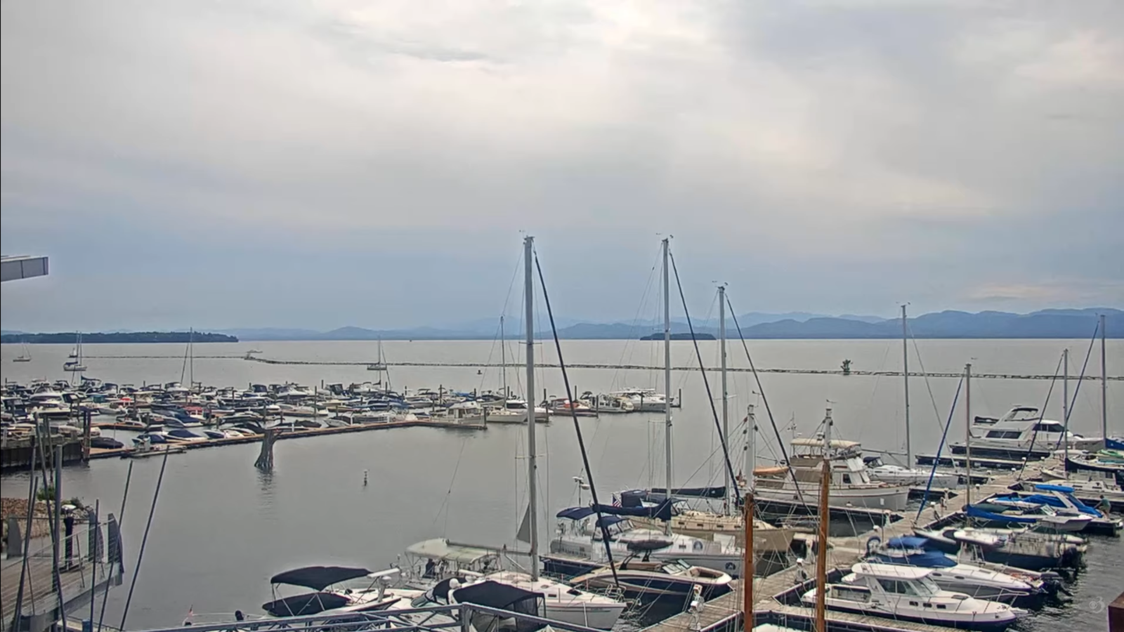
TONIGHT: An early evening shower southern areas, otherwise moonlit with high clouds. Not quite so muggy. A low upper 50s around 60. Light south winds stronger near Lake Champlain.

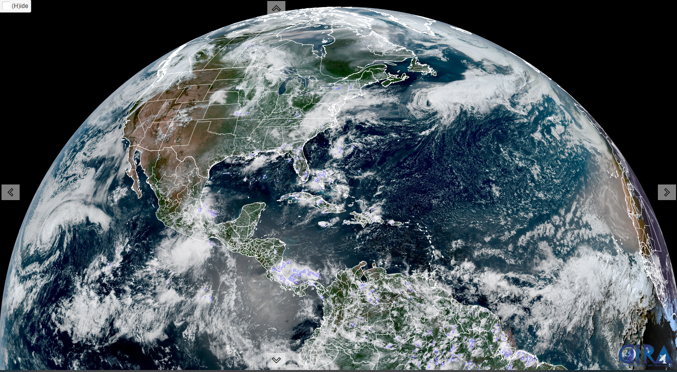
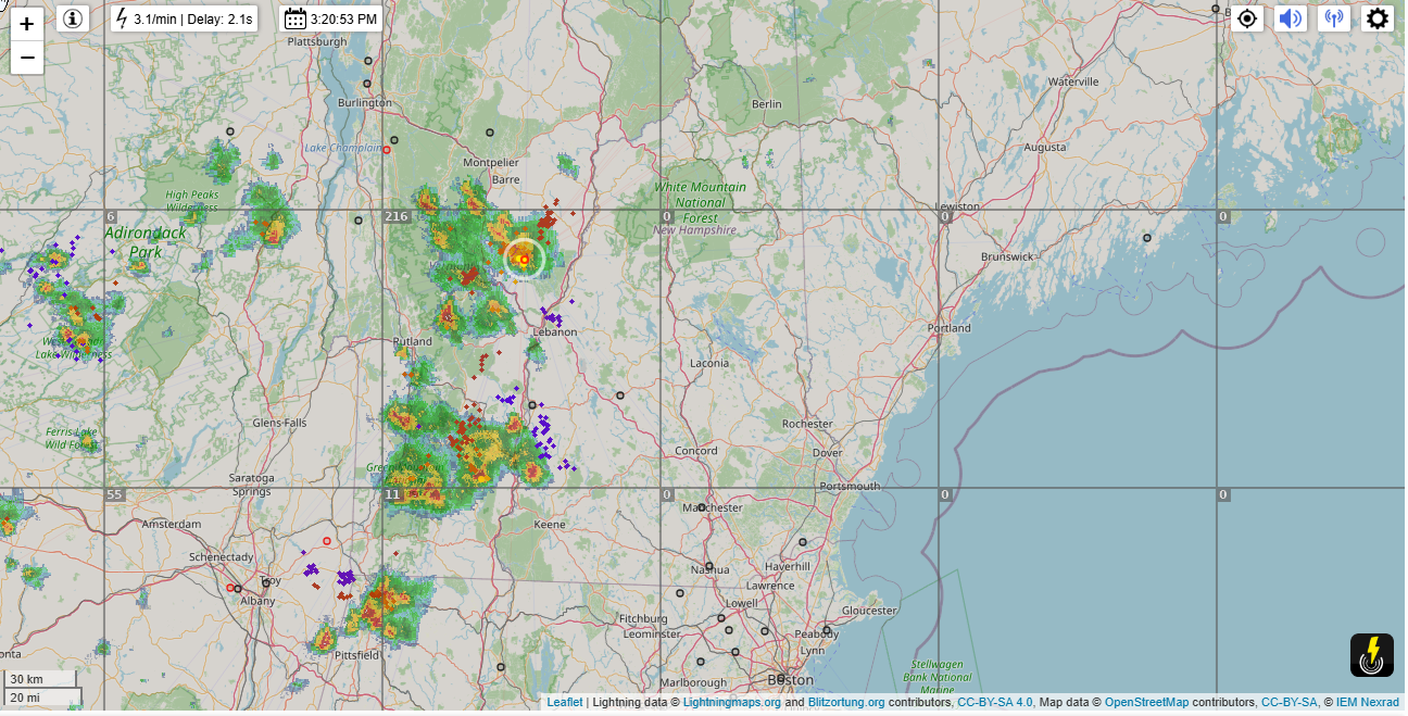
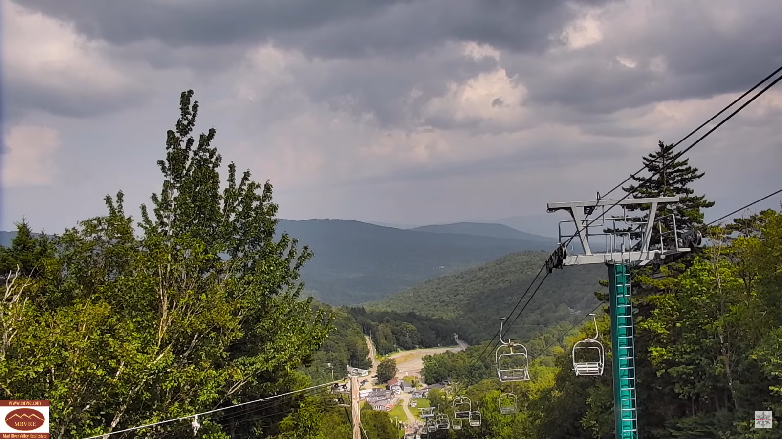
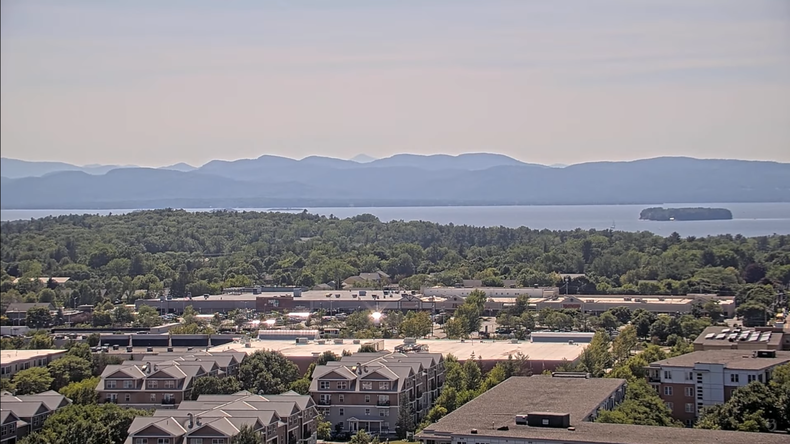
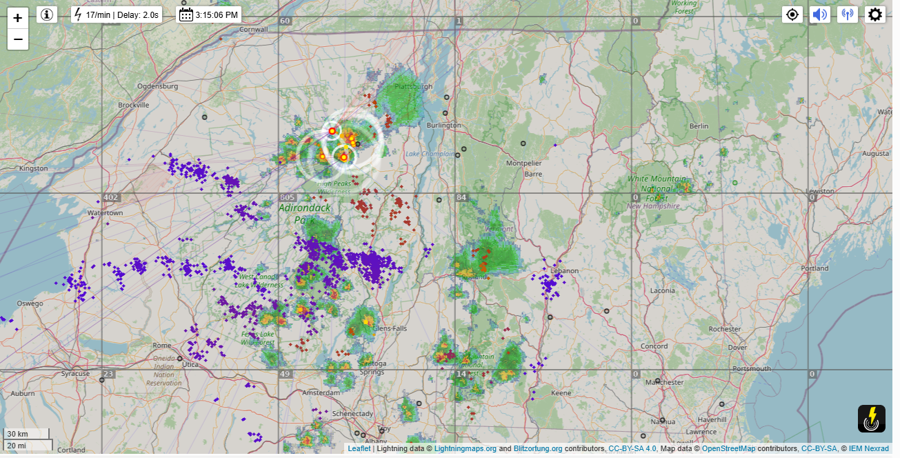
TOMORROW: Sunshine with a few afternoon clouds. Isolated to widely scattered pop-up showers and thunderstorms near the mountains. A high in the low 80s. Light southwest winds.

Full Sturgeon Moon 3:55 AM

FRIDAY NIGHT: Mostly clear & fully moonlit. A low 55 to 60. Light south winds stronger near Lake Champlain.

SATURDAY: Mostly sunny & warm. A high near 85. Light southwest winds.

Looking further ahead

SATURDAY NIGHT: Mostly clear & moonlit. A low 60 to 65.

SUNDAY: Sunshine then partly cloudy. Warm and sticky. A high upper 80s near 90.

MONDAY: Lots of sunshine, continued sticky and hot. A low around 65. A high in the lower 90s with high heat indices.

TUESDAY: Sunshine with more afternoon clouds. Maybe a risk for thunderstorms late. Hot and sticky with high heat indices. A low upper 60s. A high 90 to 95.

Average low: ranging thru the 50s. Average highs: mid 70s to around 80.

End of Meteorological Summer September 5th

RH/8-7[forecast][end]

My updated Wednesday Night Forecast — August 6th, 2025

Roger Hill’s Radio Vermont Forecast 3:00 PM WEDNESDAY 8-6-25

TONIGHT: Mostly clear after any evening showers with few more clouds overnight. A low mid to upper 50s. Light south winds.

TOMORROW: Partly sunny, hazy humid. Widely scattered afternoon showers and thunderstorms, mainly west. A high upper 70s near 80. Light southwest wind.

THURSDAY NIGHT: An early evening shower southern areas then mostly clear. Not quite so muggy. A low upper 50s. Light south winds.

FRIDAY: Sunshine with a few afternoon clouds. Isolated to widely scattered showers and thunderstorms eastern areas. A high 80 to 85. Light southwest winds.

Looking further ahead

FRIDAY NIGHT: Any showers dissipate early eastern areas. Otherwise mostly clear & fully moonlit. A low mid-50s to around 60

Full Sturgeon Moon 3:55 AM

SATURDAY: Mostly sunny. Warmer. A high around 85.

SUNDAY: Sunshine then partly cloudy, with a threat of a shower. A low near 60. Warm and sticky. A high upper 80s pushing 90.

MONDAY: Hazy sunshine, continued sticky and hot. A low around 65. A high in the lower 90s with high heat indices.

Average low: ranging thru the 50s. Average highs: mid 70s to around 80.

End of Meteorological Summer September 5th

RH/8-6[forecast][end]

Wildfire smoke now consistent each summer 8-6-25

Wildfire smoke is now consistent each summer due to the boreal forests in the northern hemisphere drying out consistent with an overheating planet brought on by the emission of man-made fossil fuel. Dancing around the mention of climatology, Climate Change etc. by the meteorological industry is a joke and cowardice. Any such omission if a form of pure fascism by a tyrannical government, and undermines the mission statements of the National Weather Service due to the attack on “science”.

My updated Tuesday Night Forecast — August 5th, 2025

Roger Hill’s Radio Vermont Forecast 3:00 PM MONDAY 8-5-25

TONIGHT: Mostly clear, hazy & not so humid northern areas.A low upper 50s. Little wind.

TOMORROW: Mostly sunny & hazy, with some afternoon clouds. A bit muggier. An isolated afternoon shower or thunderstorm threat. A high upper 70s near 80. Light southeast wind.

WEDNESDAY NIGHT: Mostly clear after any evening showers with a few more clouds overnight. A low upper 50s near 60. Light south winds.

THURSDAY: Partly sunny, hazy humid. Widely scattered afternoon showers and thunderstorms, mainly southern areas. A high 75 to 80. Light southwest wind.

Looking further ahead

THURSDAY NIGHT: Mostly clear. Not quite so muggy. A low upper 50s near 60.

FRIDAY: Sunshine with a few afternoon clouds. Isolated showers and thunderstorms Champlain Valley & Northeast Kingdom. A high in the lower 80s.

SATURDAY: Mostly sunny. Warmer. A low upper 50s to low 60s. A high mid-80s.

SUNDAY: Sunshine then afternoon clouds, with a threat of a shower. A low 60 to 65. Warm and sticky. A high upper 80s pushing 90.

Average low: ranging thru the 50s. Average highs: mid 70s to around 80.

End of Meteorological Summer September 5th

RH/8-5[forecast][end]

My updated Monday Night Forecast — August 4th, 2025

Roger Hill’s Radio Vermont Forecast 3:00 PM MONDAY 8-4-25

TONIGHT: Maybe an isolated shower far north early. Otherwise high cloudiness & hazy. A low 55 to 60. Light northeast wind.

TOMORROW: Lots of sunshine but smoky, due Canadian wildfires. Slight chance for a late day shower or thunderstorm southern areas. A little less humid with high around 80. Light northeast winds.

TUESDAY NIGHT: Clear & hazy.A low upper 50s. Little wind.

WEDNESDAY: Mostly sunny & hazy.A bit muggier. A high near 80. Light southeast wind.

Looking further ahead

WEDNESDAY NIGHT: Mostly clear. Maybe an early shower south. A low upper 50s near 60

THURSDAY: Partly sunny, humid & hazy. Scattered late afternoon showers and thunderstorms, mainly southern areas. A high in the low 80s.

FRIDAY: Sunshine with a few afternoon clouds. Not quite so muggy. A low upper 50s near 60. A high 80 to 85.

SATURDAY: Morning clouds then partly sunny. Warm & muggy. Maybe a shower/thunderstorm far northern areas. A low in the low 60s. A high mid to upper 80s.

Average low: ranging thru the 50s. Average highs: mid 70s to around 80.

End of Meteorological Summer September 5th

RH/8-4[forecast][end

My Updated Thursday Night Forecast — July 3rd, 2025

Roger Hill’s Radio Vermont Forecast 3:00 PM WEDNESDAY 7-3-25

TONIGHT: A few leftover shower & thunderstorms northern areas exiting this evening. Clearing, becoming cooler & less humid. A low 50 to 55. Light northwest winds.

TOMORROW THE 4TH: Mixed sun and clouds.A couple sprinkles northern mountains.Comfortable.A high near 70. Northwest winds 10 to 15 mph.

FRIDAY NIGHT: Moistly clear with high clouds overnight. Patchy valley fog. A low 50 to 55. Light west to southwest winds.

SATURDAY: Filtered sun giving way to late afternoon clouds.Isolated late day showers or thunderstorms Northeast Kingdom. Fairly comfortable.A high in the upper 70s. Light southwest winds.

Looking further ahead

SATURDAY NIGHT: Partly cloudy to mostly clear. Patchy valley fog. A low in the mid-60s.

SUNDAY: Sunshine with high cloudiness. Muggy again & warmer. A high upper 80s near 90.

MONDAY: Sunshine after patchy valley fog, with late day cloudiness. Widely scattered late day & evening showers and thunderstorms. Very sticky. Morning lows upper 60s. Highs around 90.

TUESDAY: Considerable morning clouds & fog, burning off to lots of afternoon sunshine. Lows mid to upper 60s. Becoming less humid in the afternoon with highs around 75.

Average low: low to mid-50s. Average highs: upper 70s to low 80s.

Peak of Meteorological Summer July 22nd.

Admin: Off, no forecast issued July 7th thru August 1st back Monday August 4th

RH/7-3[forecast][end]

My Updated Wednesday Night Forecast — July 2nd, 2025

Roger Hill’s Radio Vermont Forecast 3:00 PM WEDNESDAY 7-2-25

TONIGHT: Mostly clear. Patchy valley fog.A low near 60.Light southwest winds.

TOMORROW: Mixed clouds and sun.Showers & thunderstorms likely mainly in the afternoon…some possibly strong with heavy downpours in the afternoon. Muggy. An early high mid to upper 70s. Westerly breeze 10 mph.

THURSDAY NIGHT: Partly cloudy. A few leftover shower or thunderstorm northern areas exiting overnight. Becoming cooler & less humid overnight. A low 50 to 55. Light northwest winds.

FRIDAY 4TH OF JULY: Partly sunny with more afternoon clouds.Chance for a passing light shower or sprinkle northern mountains.Comfortable.A high near 70. Northwest winds 10 to 15 mph.

Looking further ahead

FRIDAY NIGHT: Moistly clear with high clouds overnight. A low 50 to 55.

SATURDAY: Filtered sun giving way to late afternoon clouds.Maybe a northern shower or thunderstorm. Fairly comfortable.A high in the upper 70s.

SUNDAY: Sunshine with high cloudiness. Muggy again & warmer. Lows low to mid 60s. Highs pushing 90.

MONDAY: Mostly sunny then afternoon clouds. Scattered mainly afternoon showers and thunderstorms. Very sticky. Lows upper 60s. Highs around 90.

Average low: low to mid-50s. Average highs: upper 70s to low 80s.

Peak of Meteorological Summer July 22nd.

Admin: Summer Vacation 1 month after 4th of July. Fox Trot Delta Tango

RH/6-26[forecast][end]

My Updated Tuesday Night Forecast — July 1st, 2025

Roger Hill’s Radio Vermont Forecast 3:00 PM TUESDAY 7-1-25

TONIGHT: Maybe an early shower northern areas. Otherwise clearing. Muggy. A low mid-60s. Light southwest winds.

TOMORROW: Sunshine filtered thru high clouds at times. Less muggy. A high 80 to 85. Light west to northwest winds.

WEDNESDAY NIGHT: Mostly clear. Patchy valley fog.A low near 60.Light southwest winds.

THURSDAY: Sunshine gives way to lots of clouds.Good chance for showers & thunderstorms…some possibly strong with heavy downpours in the afternoon. Muggy. An early high upper 70s near 80. Westerly breeze 10 mph.

Looking further ahead

THURSDAY NIGHT: Partly cloudy. A few leftover shower or thunderstorm northern areas exiting overnight. Becoming cooler & less humid overnight. Lows around 55.

FRIDAY 4TH OF JULY: Sun mixing with more afternoon clouds.Chance for a passing light shower or two northern mountains.Highs upper 60s near 70.

SATURDAY: Sunshine giving way to afternoon clouds.Lows lower 50s. Highs 75 to 80

SUNDAY: More clouds than sun. Muggy again & warmer. Lows around 60. Highs 80 to 85

Average low: low to mid-50s. Average highs: upper 70s to low 80s.

Peak of Meteorological Summer July 22nd.

Admin: Summer Vacation 1 month after 4th of July. Fox Trot Delta Tango

RH/6-26[forecast][end]

My Updated Monday Night Forecast — June 30th, 2025

Roger Hill’s Radio Vermont Forecast 3:00 PM MONDAY 6-30-25

TONIGHT: Highs clouds early thickening overnight. Showers becoming likely overnight, maybe a rumble of thunder around or after daybreak. A low in the mid to upper 60s. Light south winds stronger near Lake Champlain.

TOMORROW: Variable clouds. Showers and a few briefly heavy thunderstorms likely in the morning, isolated in the afternoon. Oppressively warm & humid. A high 80 to 85. Southwest breeze 10 to 15 mph.

TUESDAY NIGHT: Maybe an early shower northern areas. Otherwise partial clearing, muggy. A low in the mid-60s. Light southwest winds.

WEDNESDAY: Sunshine filtered thru high clouds. A high in the lower 80s. Light west winds.

Looking further ahead

WEDNESDAY NIGHT: Mostly clear.A low 60 to 65.

THURSDAY: Sunshine gives way to lots of clouds.Rising chance for showers & thunderstorms in the afternoon. Muggy. A high around 80.

FRIDAY 4TH OF JULY: Sun mixing with clouds.Maybe a few passing mountain sprinkles.Much cooler & less humid. Lows 50 to 55. Highs around 65.

SATURDAY: Partly to mostly sunny.Lows 50 to 55. Highs around 80.

Average low: low to mid-50s. Average highs: upper 70s to low 80s.

Peak of Meteorological Summer July 22nd.

Admin: Summer Vacation 1 month after 4th of July. Fox Trot Delta Tango

RH/6-26[forecast][end]

My Updated Thursday Night Forecast — June 26th, 2025

Roger Hill’s Radio Vermont Forecast 3:00 PM THURSDAY 6-26-25

TONIGHT: Partly cloudy with a sprinkle far southern areas. Comfortable. A low around 50. Light northeast winds.

TOMORROW: Partial morning sun then clouding up. Rising chance for showers maybe a rumble of thunder northwestern areas late. Below seasonal norms. A high upper 60s to low 70s. Southeast breeze 10 mph.

FRIDAY NIGHT: Mainly cloudy. Showers…some moderate with a risk of embedded thunderstorms near the Quebec border. A low 55 to 60. South to southeast breeze 10 to 15 mph, stronger near Lake Champlain.

SATURDAY: Variable clouds. Chance for showers and thunderstorms…some heavy northern areas becoming isolated in the afternoon. Another round of showers and thunderstorms southern areas late. Increasingly more moist or humid. Highs upper 60s to mid-70s. South to southwest breeze 10 to 15 mph.

Looking further ahead

SATURDAY NIGHT: Becoming mostly clear. Not as humid overnight. A low 55 to 60.

SUNDAY: Clouds with intervals of late day sun. Moderately humid. Warming trend. Highs near 75.

MONDAY: Mostly sunny with few high clouds. A low in the upper 50s. A high mid-80s

TUESDAY: Partly to mostly sunny. Sticky. Chance for afternoon showers and thunderstorms. Lows 65 to 70. Highs mid-80s.

Average low: low to mid-50s. Average highs: 75 to 80

Peak of Meteorological Summer July 22nd.

Admin: Summer Vacation 1 month after 4th of July. Fox Trot Delta Tango

RH/6-26[forecast][end]