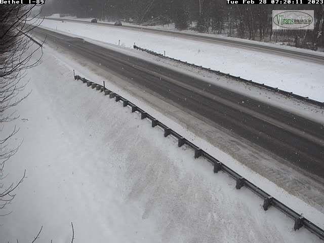
TONIGHT: Clear this evening, then partly cloudy overnight. A rising chance for flurries northern areas toward daybreak. A low 15 to 20.Northwest wind around 10 mph.
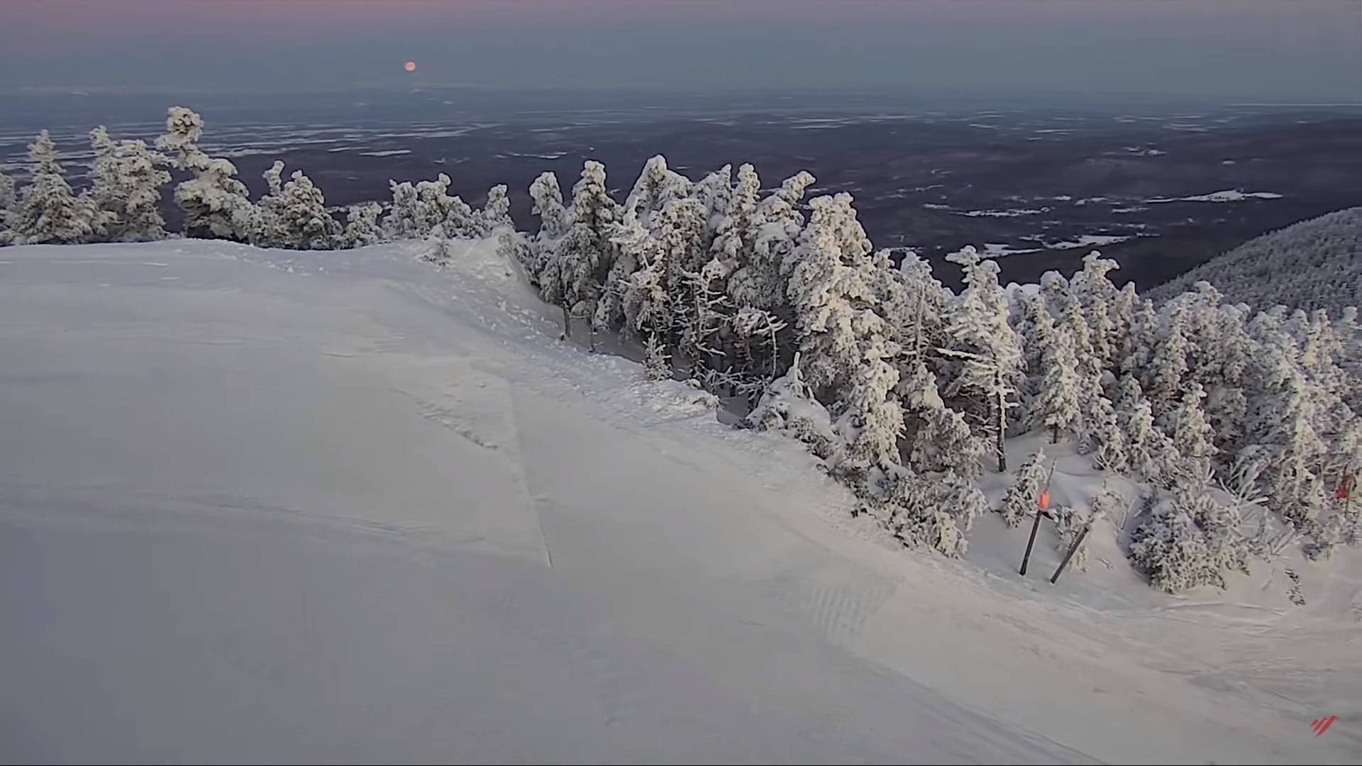
Full Worm Moon 7:40 AM
TOMORROW TOWN MEETING DAY: Mainly gray.Widely scattered snow showers & flurries. A light coating of accumulation in spots.Colder.A high mid to upper 20s.Northwest winds 10 to occasionally 20 mph.
TUESDAY NIGHT: Cloudy. Scattered snow showers or flurries continue with light coatings. A low upper teens to around 20. Light northwest winds.
WEDNESDAY: Considerable cloudiness. Scattered flurries drying up in the afternoon. A dusting northern areas. A high 32 to 35. Northwest winds 10 mph in the afternoon.
Looking further ahead
WEDNESDAY NIGHT: Lots of clouds. A low in the low to mid 20s.
THURSDAY: Mostly cloudy. Scattered flurries lingering, little accumulation. A high in the low 30s.
FRIDAY: Morning clouds then lots of sunshine in the afternoon. A low upper teens to mid-20s. A high around 35
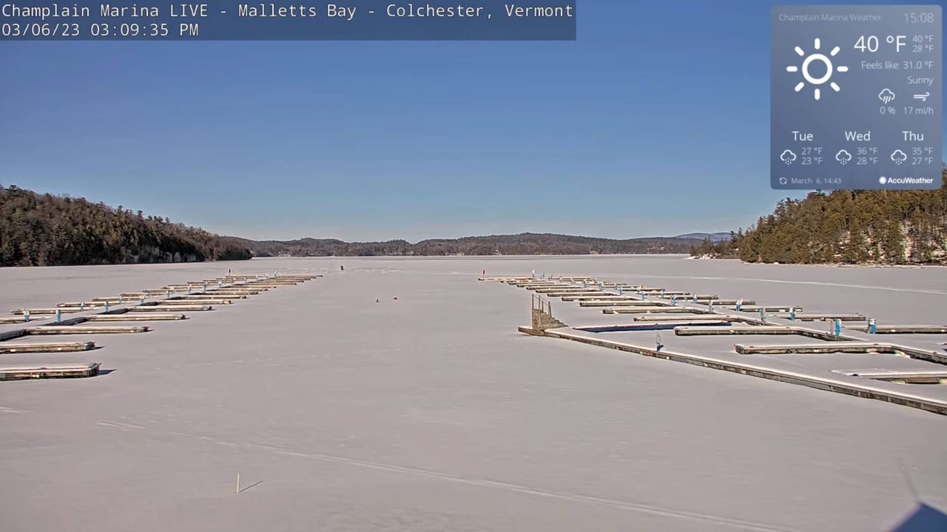
SATURDAY: Sunshine becoming filtered thru high cloudiness. A low upper single digits to upper teens. A high 35 to 40. (Sap run).
SUNDAY: Mostly sunny with a few high clouds. A low in the teens. Milder. A high upper 30s to mid-40s (Sap run)
Average lows in the teens. Average highs mid-30s to around 40.
Climatological winter ends March 9th… Vernal equinox March 20th as we start spring
RH/3-6 forecast][end]