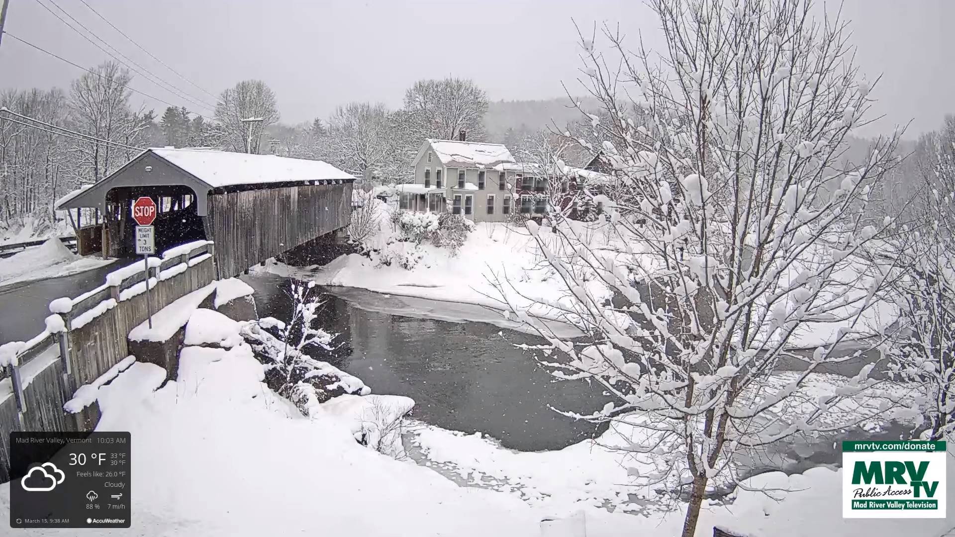
Vernal Equinox 5:24 PM
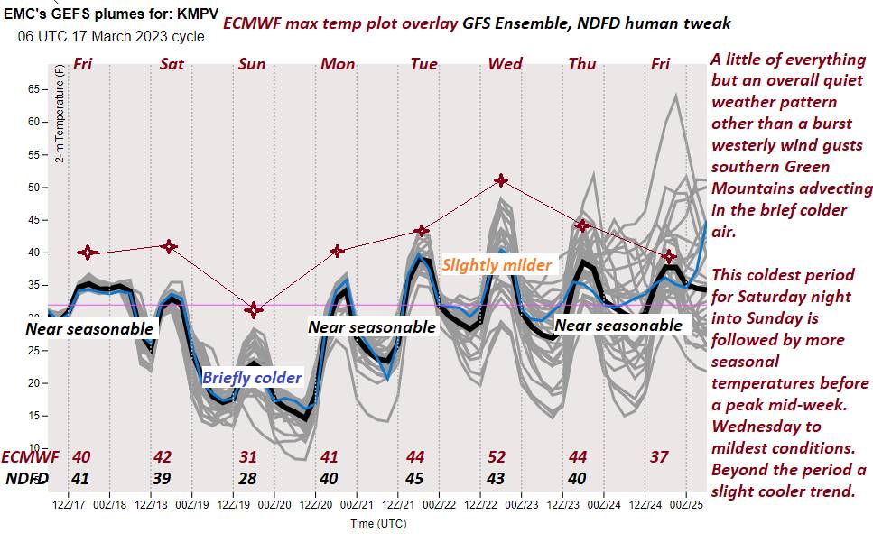
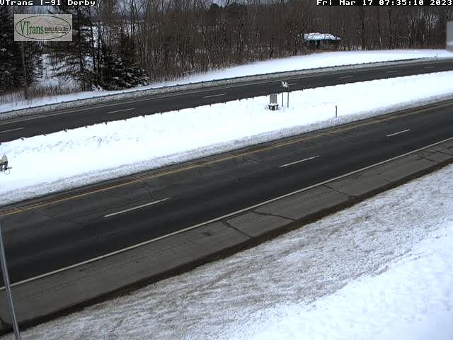
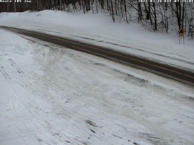
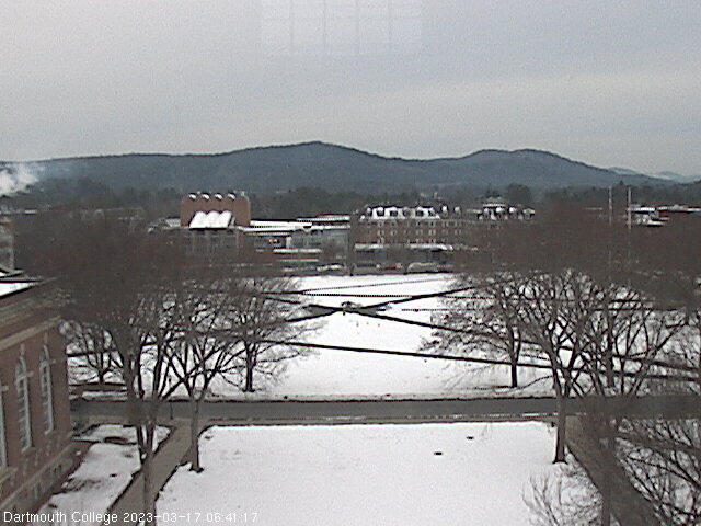
TONIGHT: Becoming partly to mostly cloudy. A low in the 20s. Light west to southwest winds.
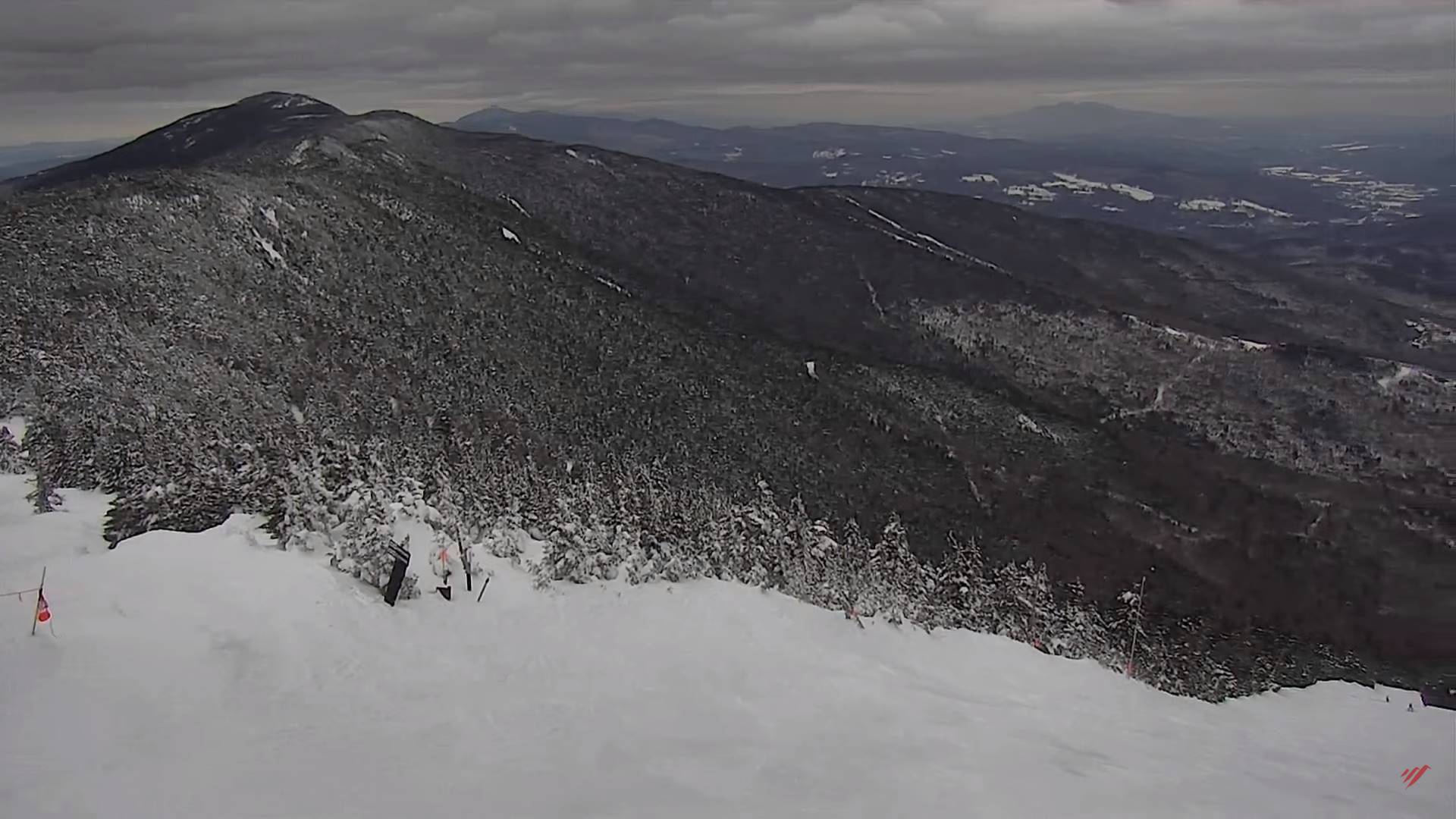
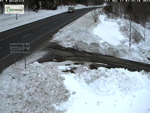
TOMORROW: Mixed clouds and sun, with more clouds northern mountains with possible flurry late. A high 40 to 45. Westerly breeze 10 to 15 mph shifting to northwesterly. (Sap run?)
TUESDAY NIGHT: High cloudiness, thickening up overnight. A low upper teens to mid-20s. Little wind.
WEDNESDAY: Intervals of sun giving way to more clouds. A high mid to upper 40s. Light southeast breeze. (Sap run?)
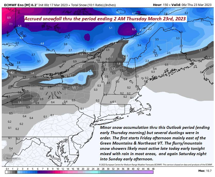
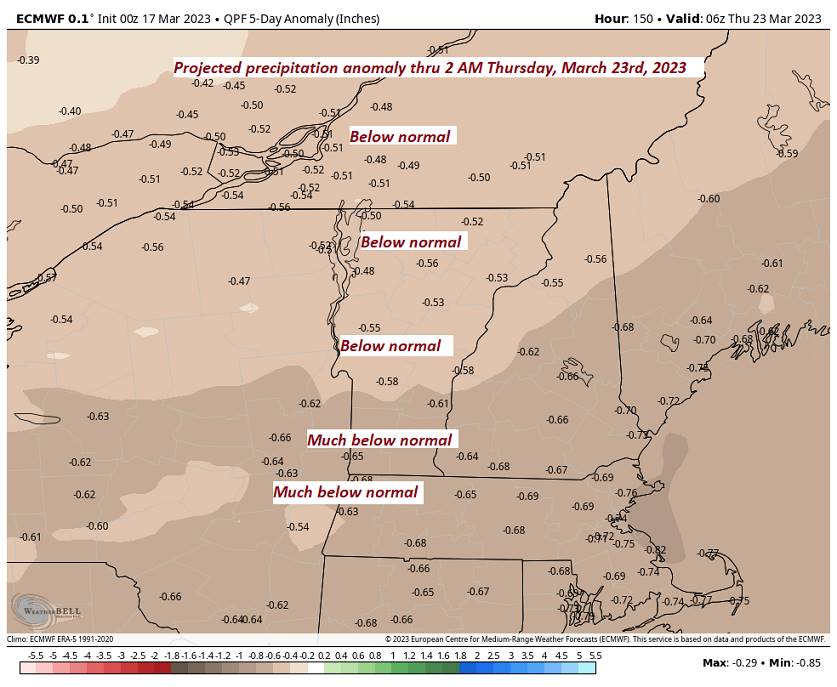
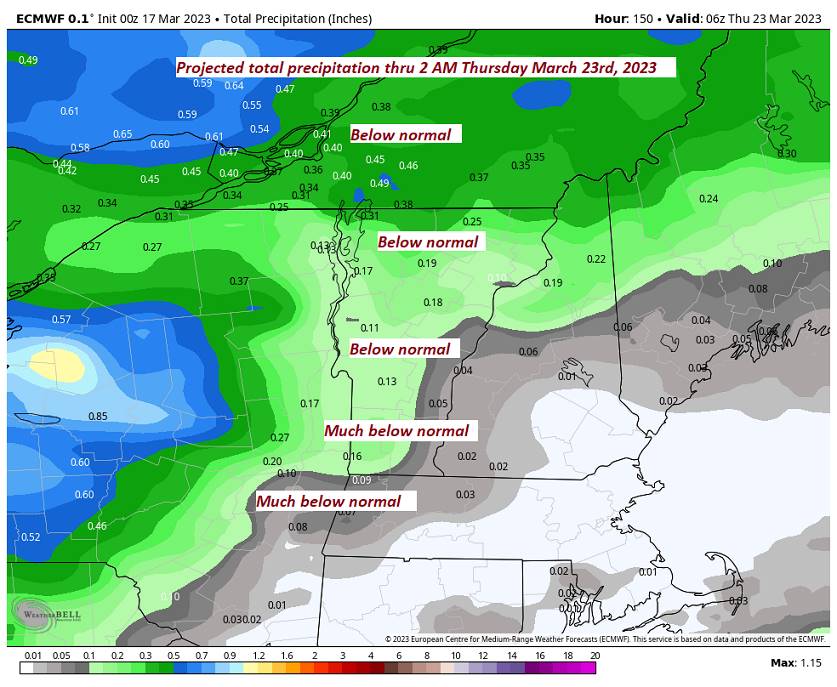
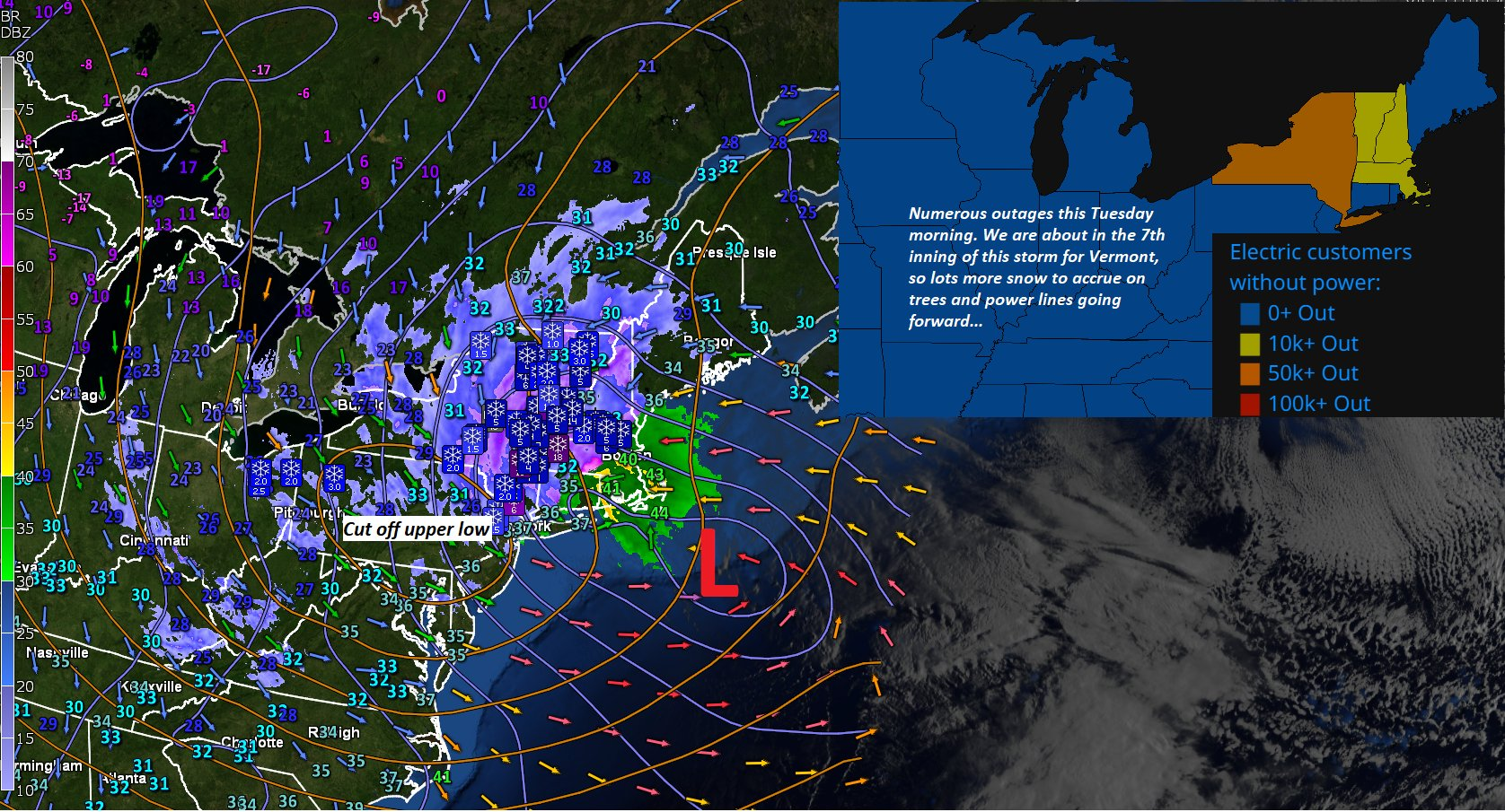
Looking further ahead
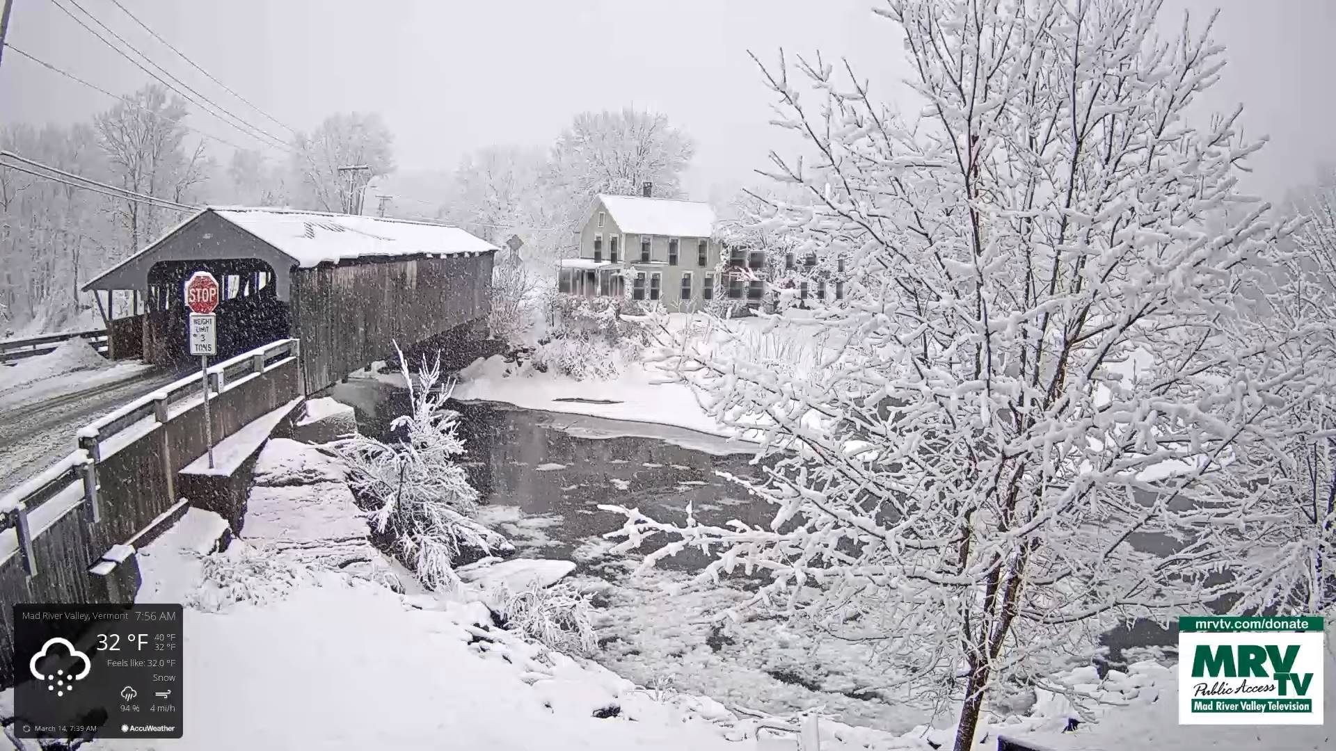
WEDNESDAY NIGHT: Cloudy. Scattered rain showers with wet snowflakes in the hills mainly in the evening. A low mid-30s.
THURSDAY: Gray.Chance for scattered rain or snow showers early, giving way to periods of rain, possibly moderate at times. A high 40 to 45.
FRIDAY: Early clouds with any flurries exiting, then filtered sunshine thru high clouds. A low 32 to 35. A high 35 to 40.
SATURDAY: Thickening clouds. Chance for snow, possibly a few inches. A low mid-teens to near 20. A high near 35.
Average lows upper-teens to middle 20s. Average highs 40 to 45.
Start of Meteorological summer arrives June 6th.
RH/3-20 forecast][end]