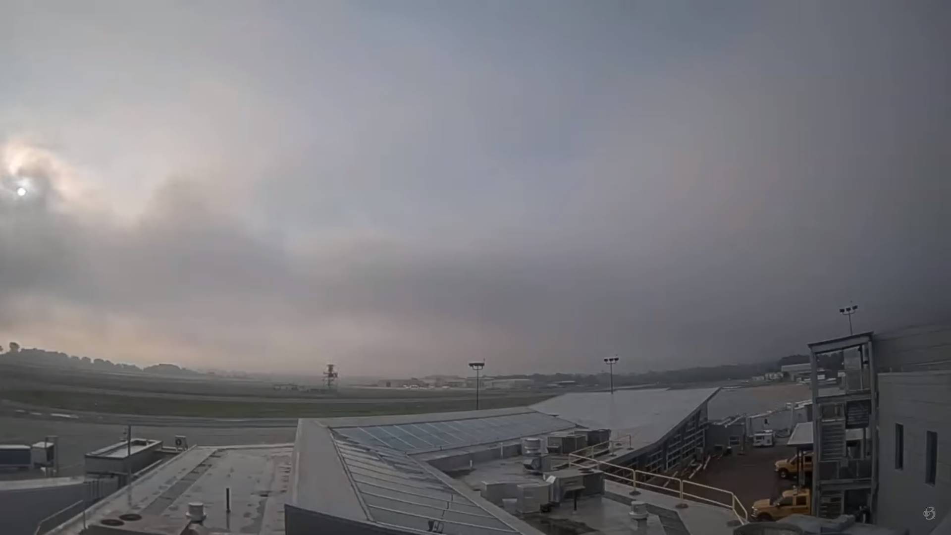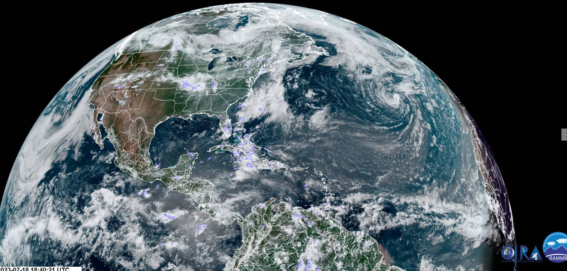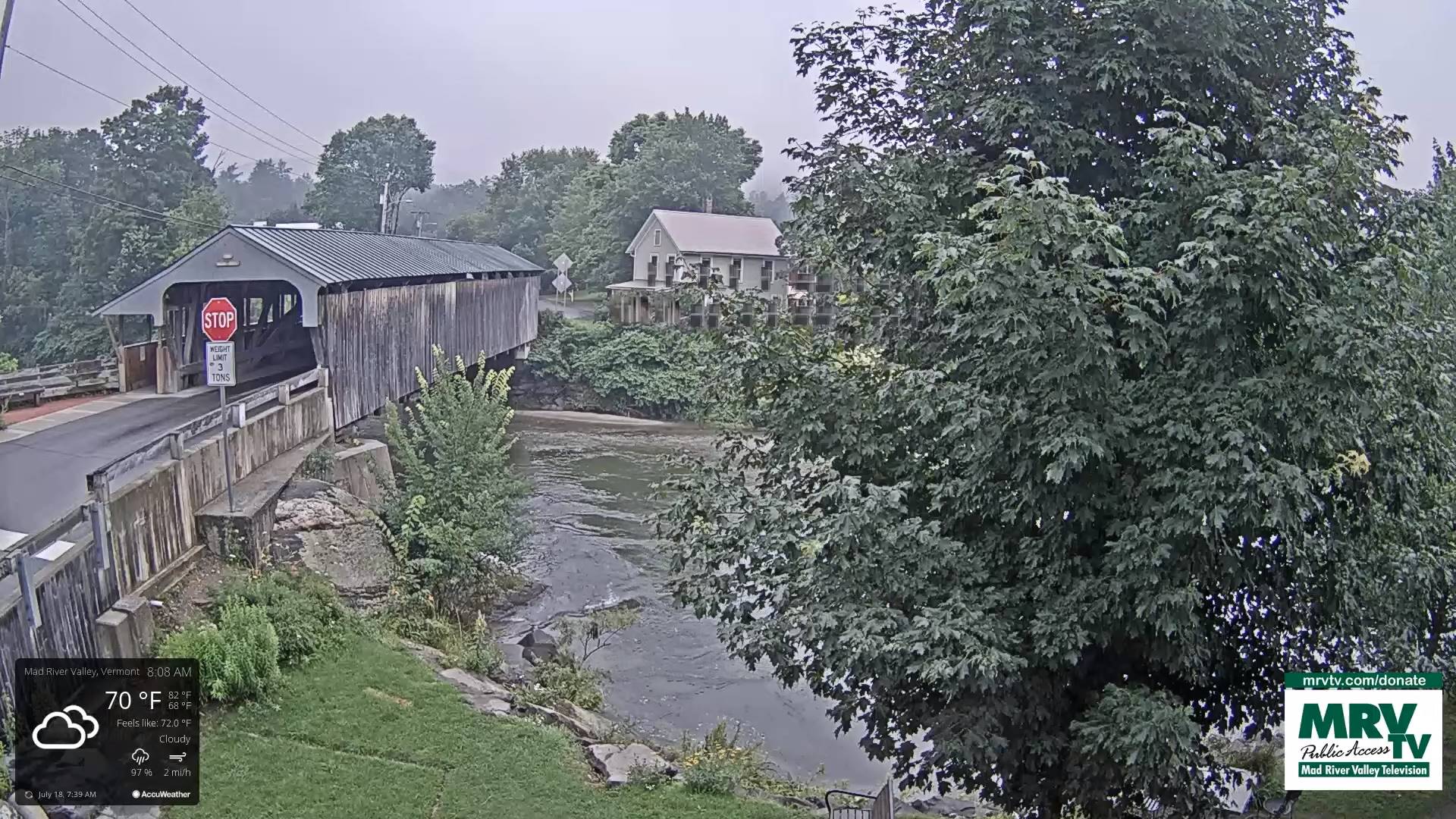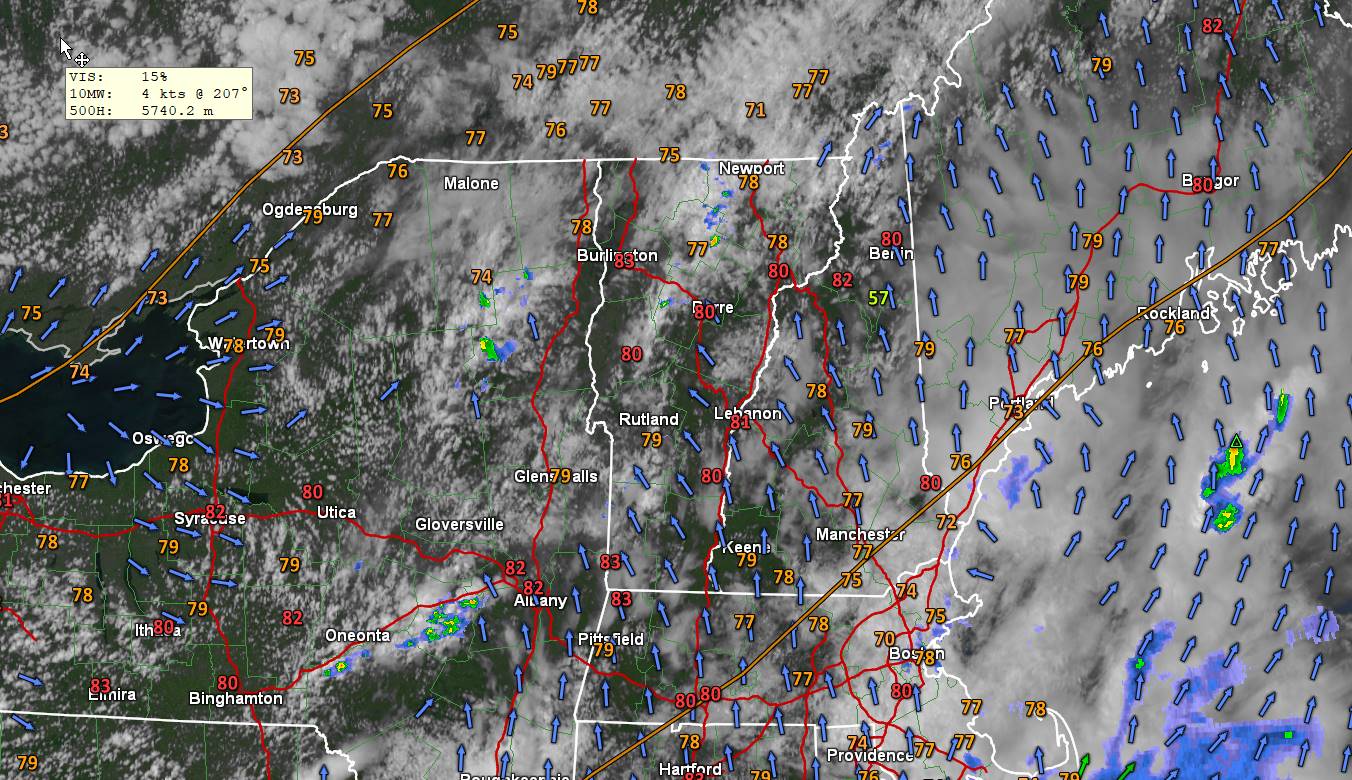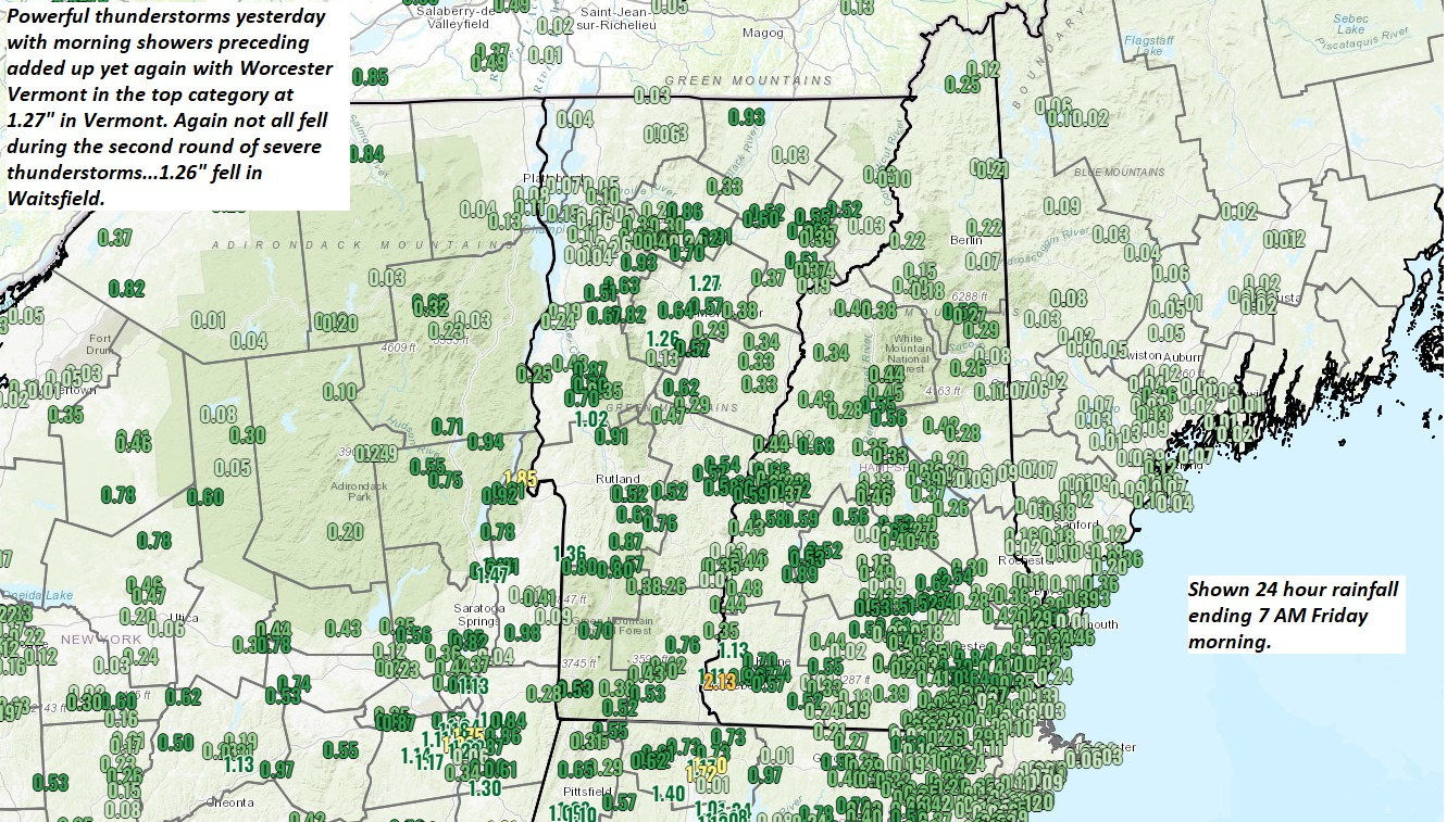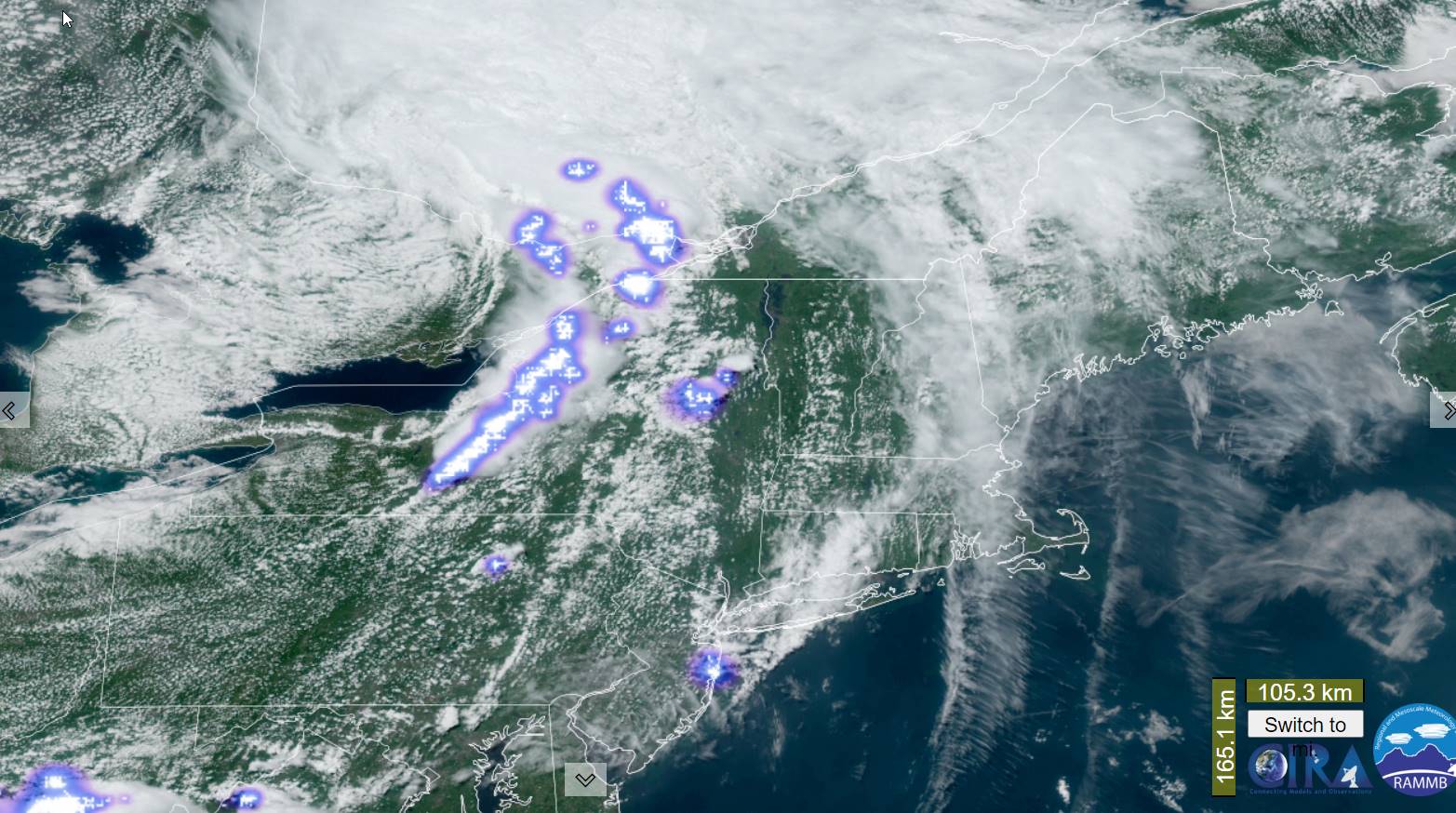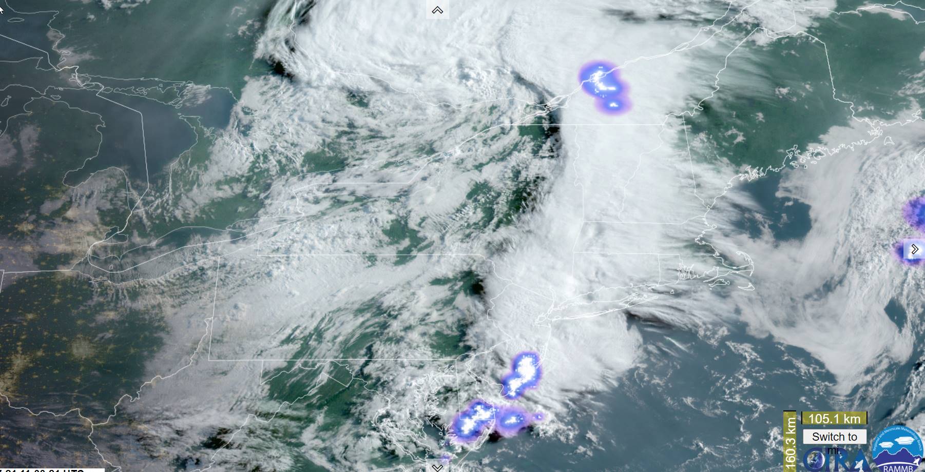
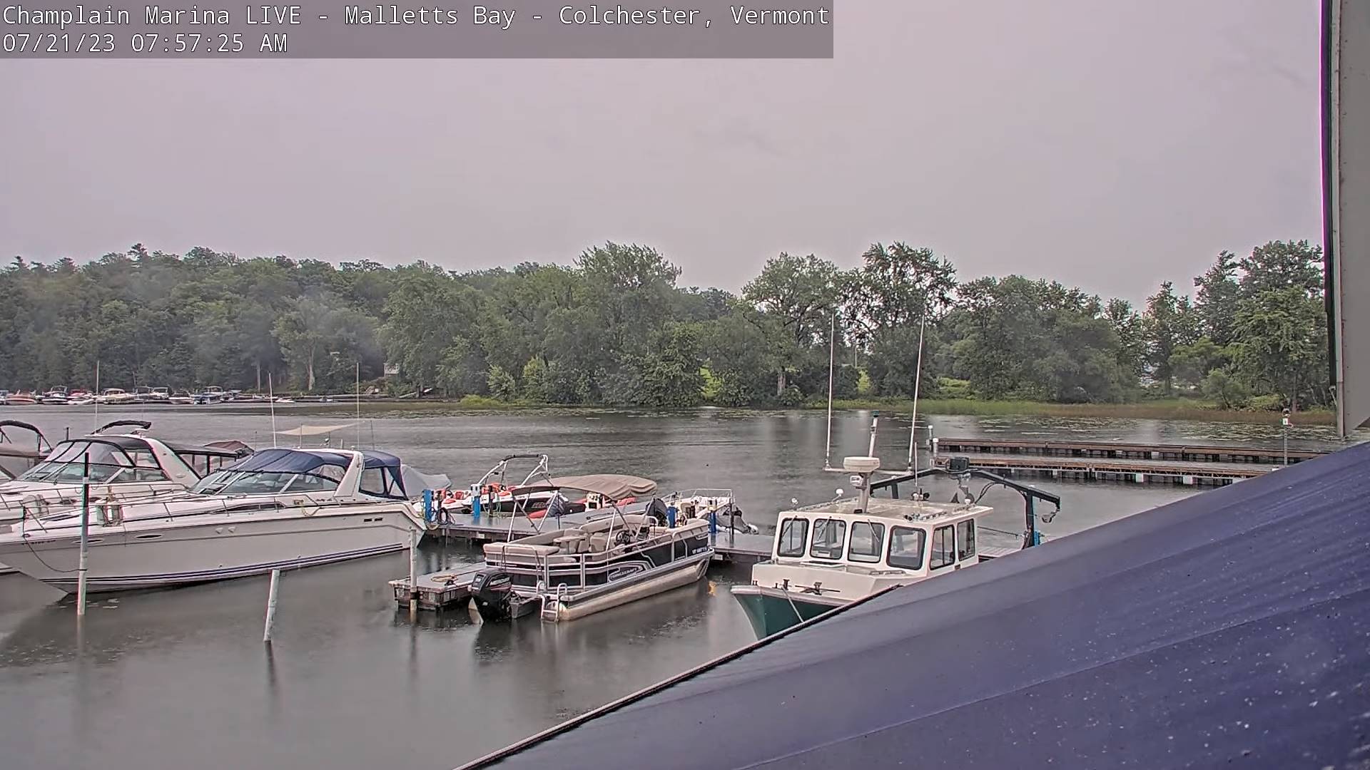
Flood Watch from Mid-day into tonight…
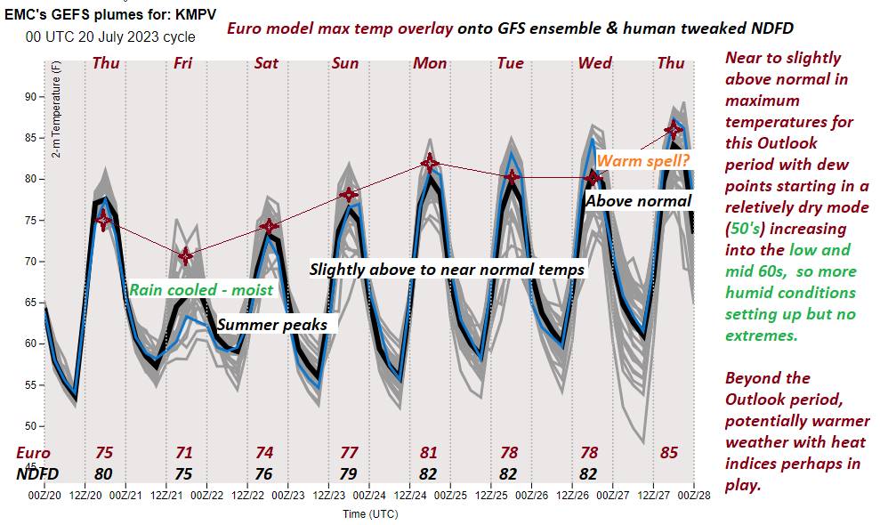
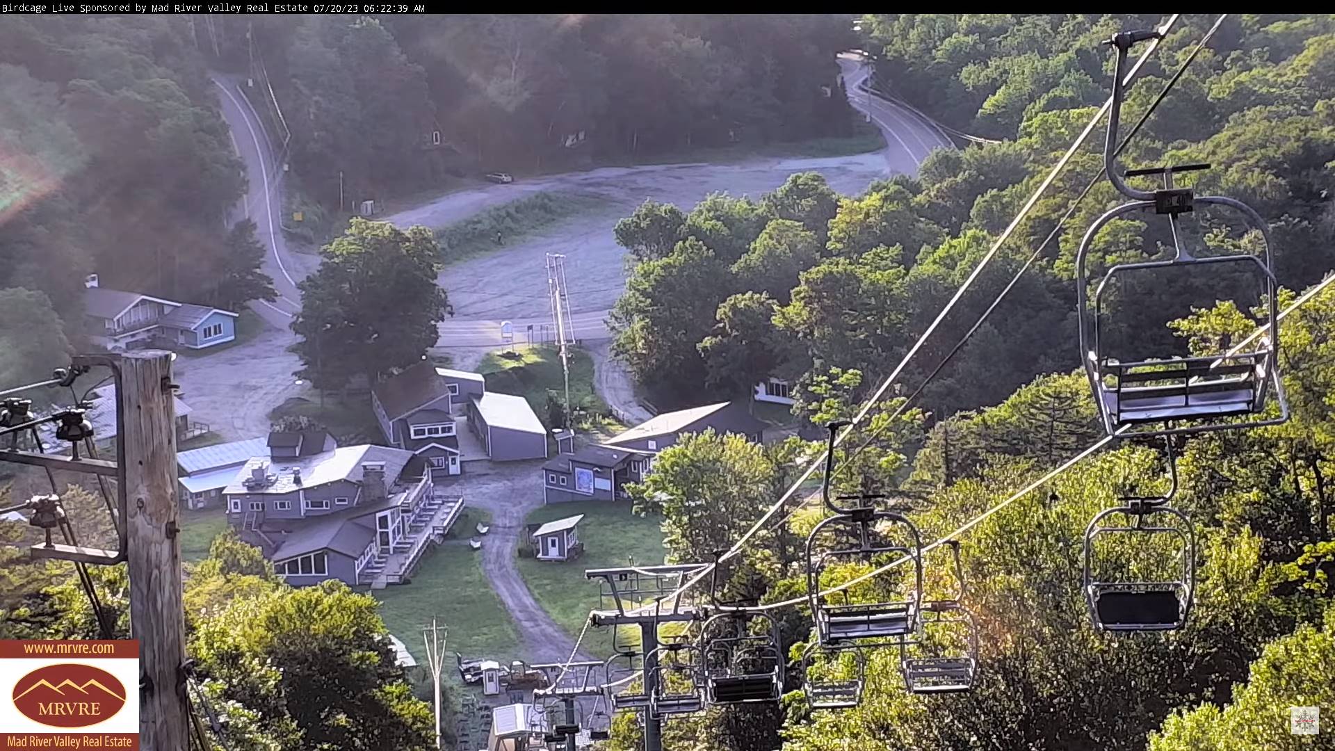
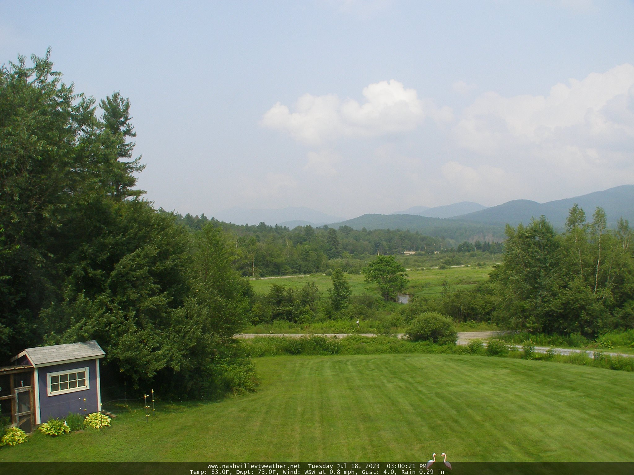
TODAY: Showers, moderate at times with a rumble of thunder this morning. A second round of showers and thunderstorms, some strong and heavy, redevelops later in the afternoon. Muggy. A high in the lower 70s. Southeast breeze 10 to 15 mph.
TONIGHT: Showers, moderate at times, and isolated heavy thunderstorms early to mid-evening, winding down. Otherwise partly to mostly cloudy, with valley fog overnight. A low in the low 60s. Light south winds.

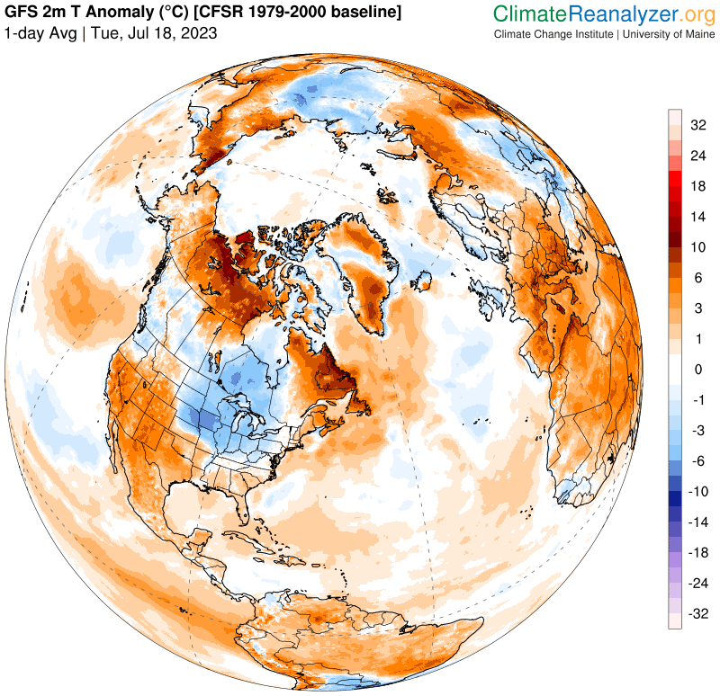
Approximate peak of summer or half way point…
SATURDAY: Isolated showers northern areas. Otherwise clouds mixing with periods of afternoon sunshine. A high near 75. West to northwest breeze 10 mph.
Looking further ahead
SATURDAY NIGHT: Mostly clear. Patchy valley fog. A low in the mid to upper 50s
SUNDAY: Lots of sunshine with a few high clouds. A low. A high upper 70s.

MONDAY: Filtered sunshine thru high clouds thickening up late Muggy and warmer. A rising chance for showers and thunderstorms especially western areas. A low 55 to 60. A high 80 to 85.
TUESDAY: Sunshine mixed with clouds, widely scattered late afternoon showers and thunderstorms. A low 60 to 65. A high near 80.
WEDNESDAY: Morning valley fog burns off to lots of sunshine. A low upper 50s. A high near 80.

Average lows 55 to 60. Average high upper 70s to low 80s.
Approximate peak of summer this Saturday…

RH/7-20 forecast][end]