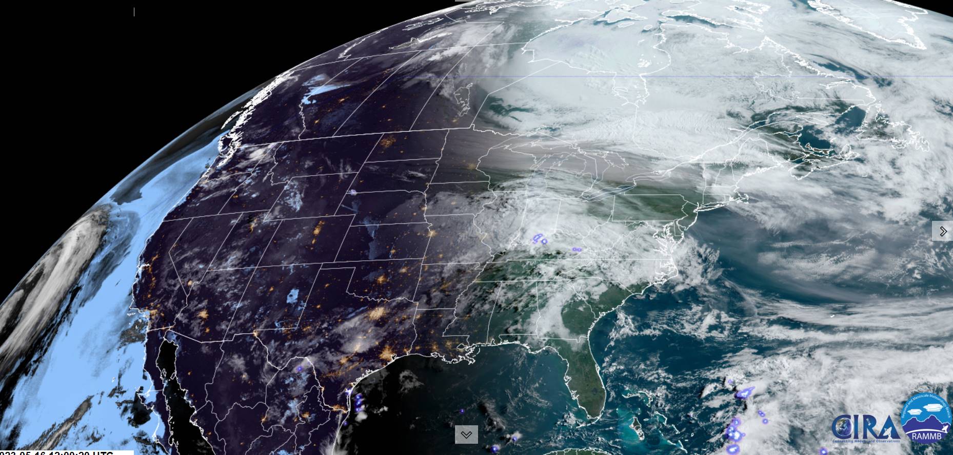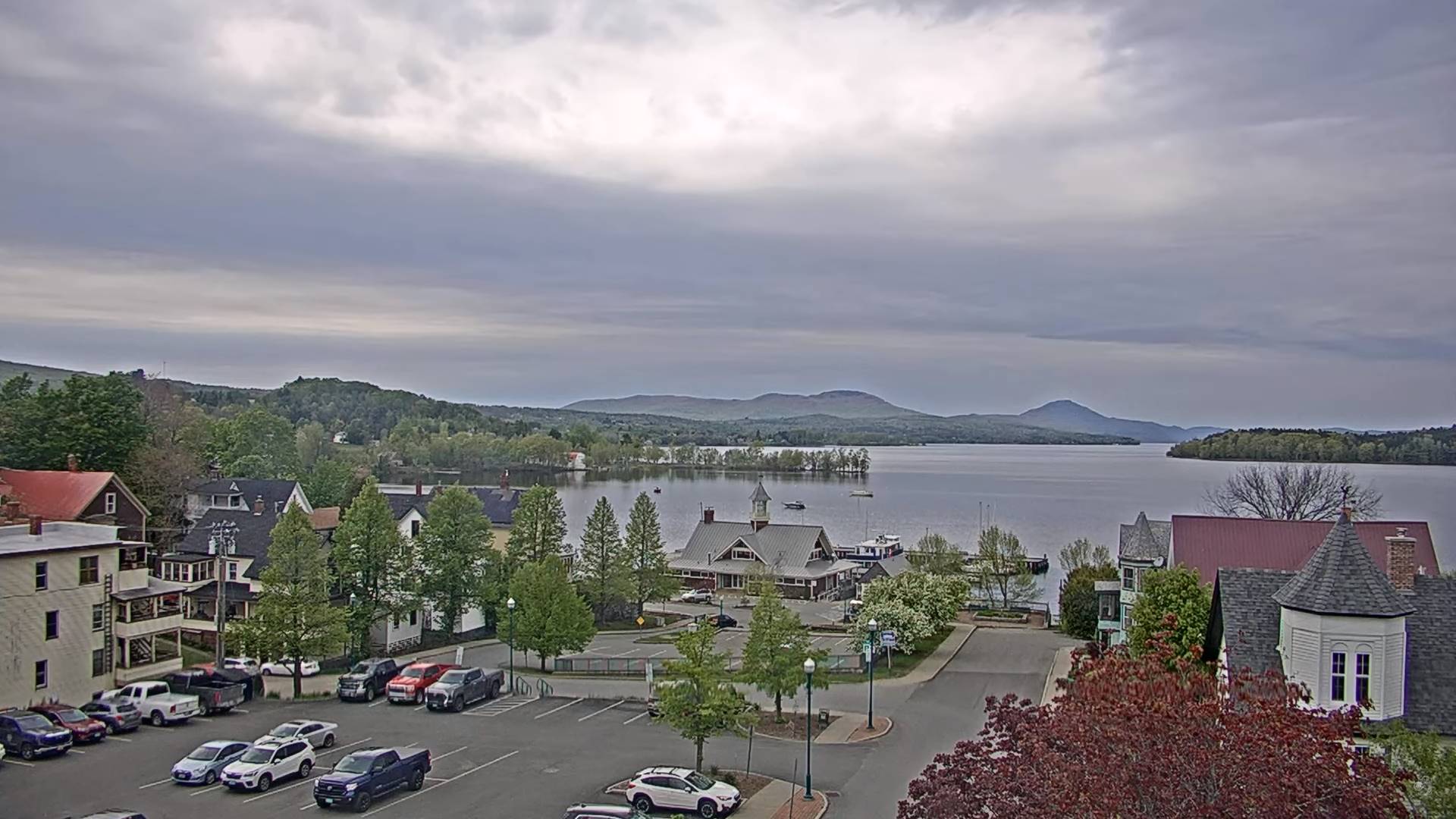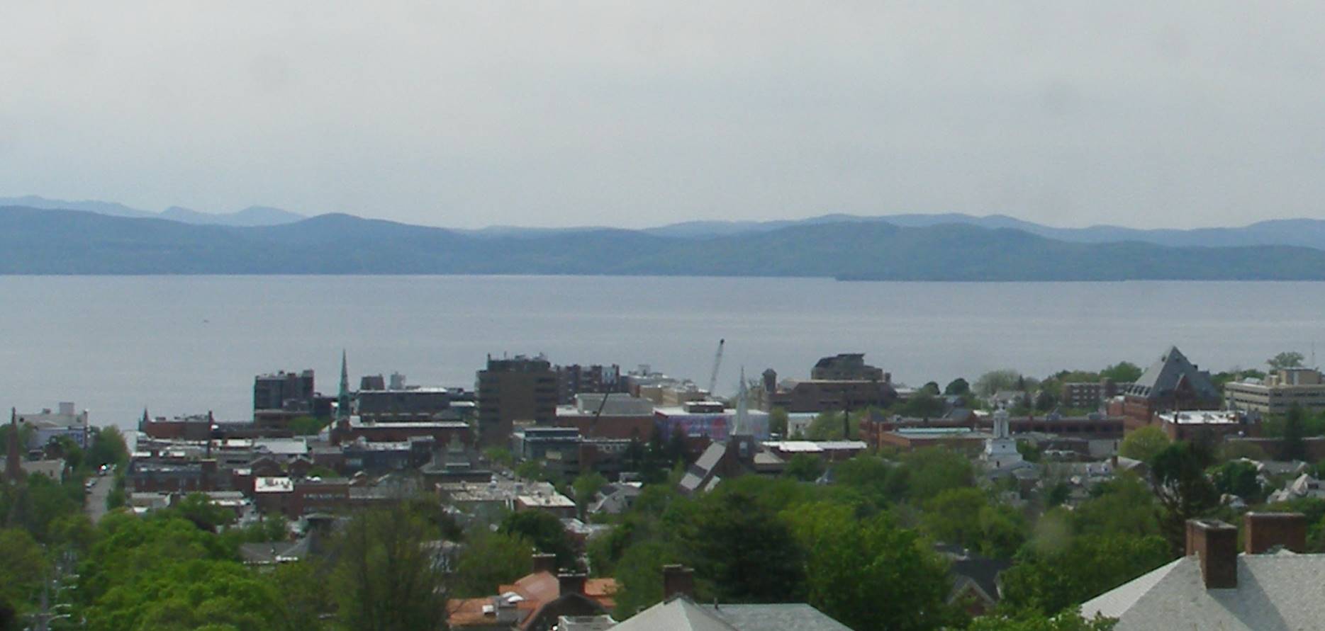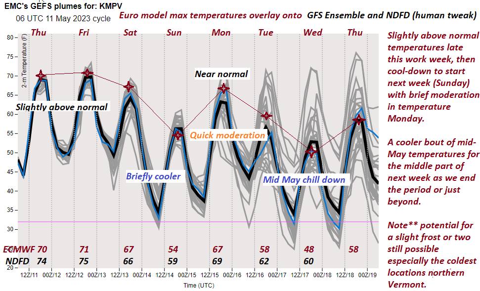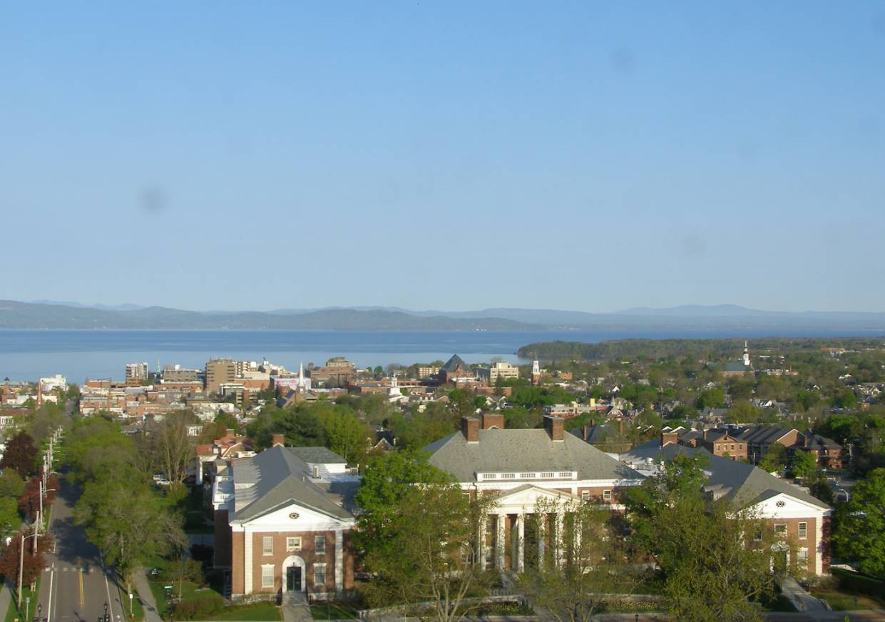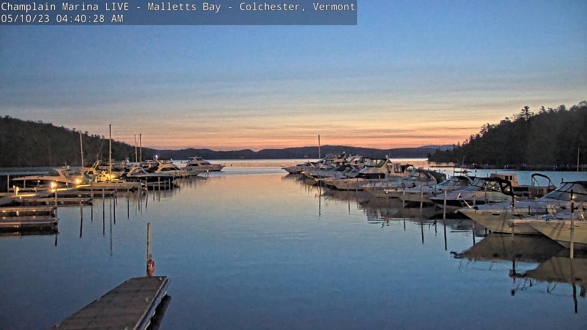
TONIGHT: Evening clouds with a few leftover sprinkles, then partial clearing and colder. A low mid to upper 30s with isolated frost possible Northeast Kingdom. Light north to northwest winds, stronger near Lake Champlain.
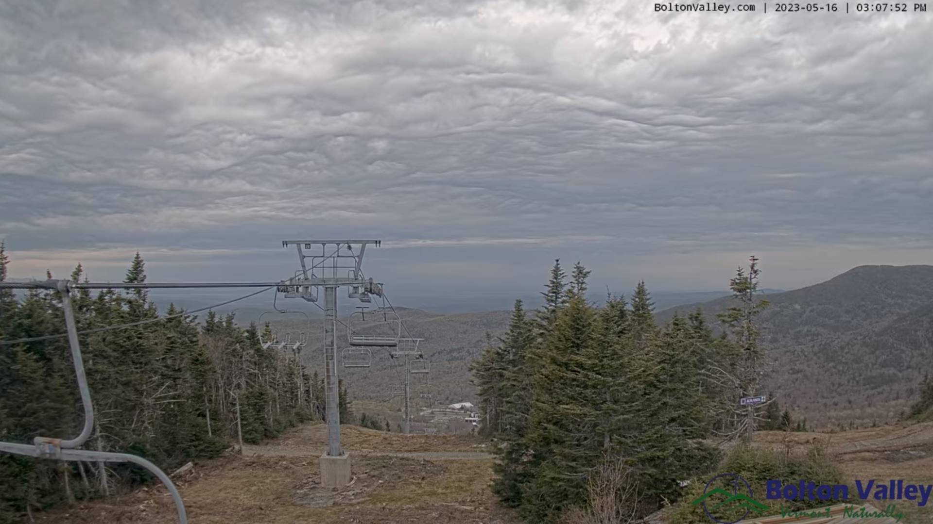
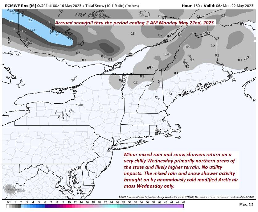
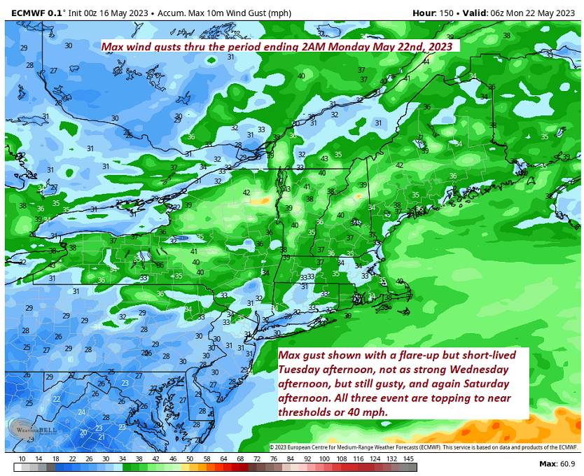
TOMORROW: Partial morning sun, then lots of clouds. Blustery, well below normal in temperature. Widely scattered rain showers/wet snow flakes northern areas. Temperatures peak in the low to mid 40s. Northwest winds 10 to 20 mph.
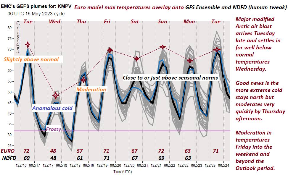
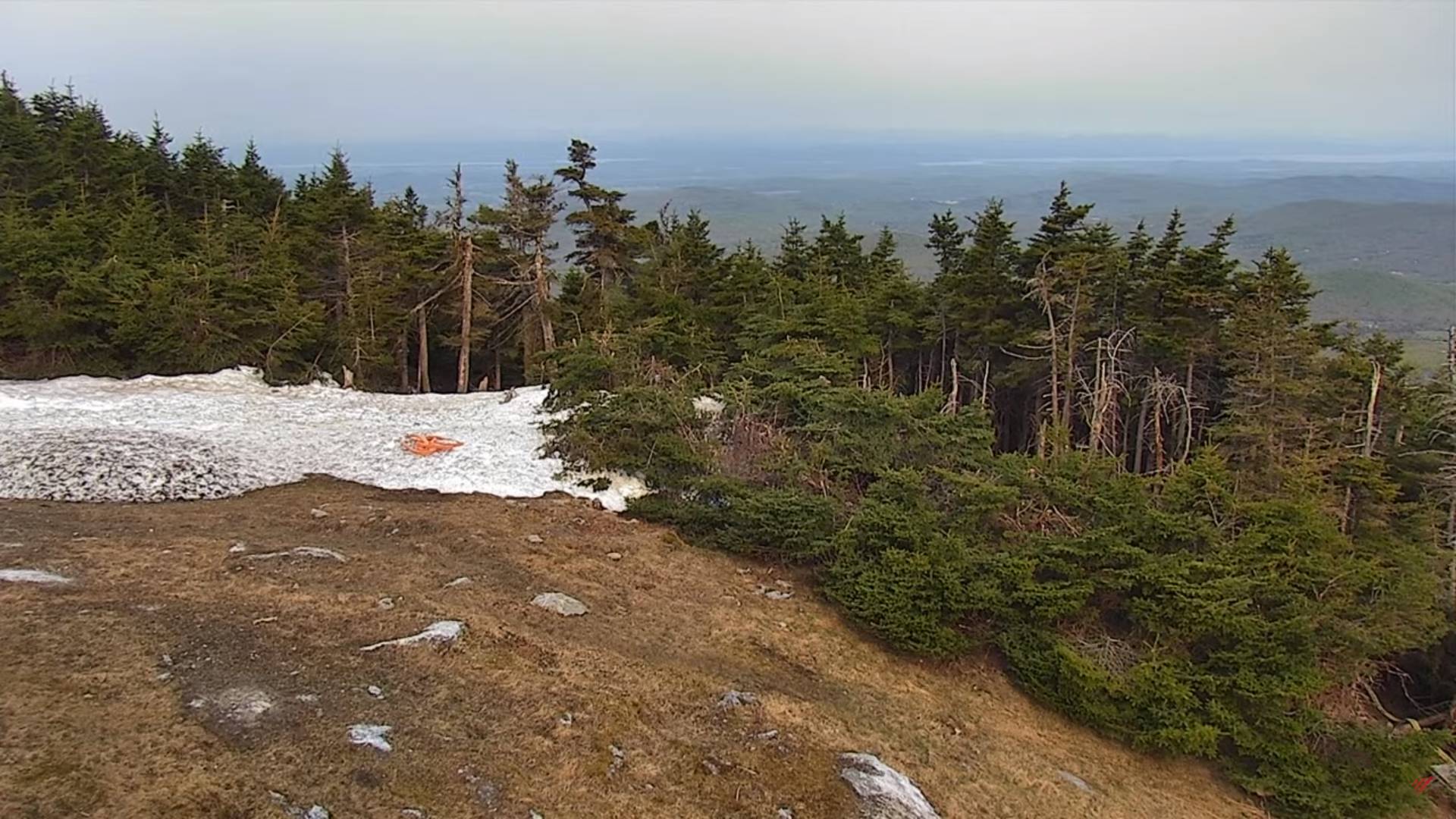
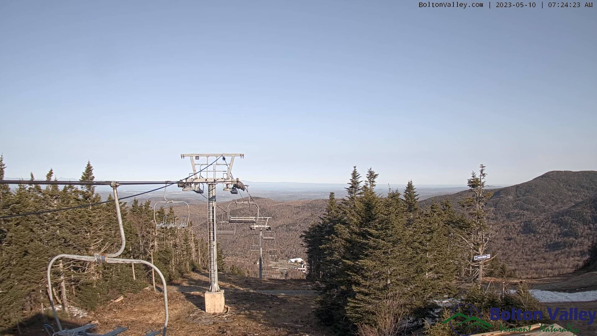
WEDNESDAY NIGHT: Clear. Widespread frost & possible freezing temperatures. A low mid-20s to near 32 degrees. Light northwest winds.
THURSDAY: Frosty start, with a few high clouds. Otherwise mostly sunny with a warming trend. A high mid to upper 50s. Light west to northwest winds.
Looking further ahead
THURSDAY NIGHT: Clear with a few high clouds. A low upper 30s to around 40.
FRIDAY: Sunshine filtered by high clouds. A late day high near 70.
SATURDAY: Filtered sun early, then thickening clouds, leading to a rising chance for rain or showers. A low 45 to 50. A high mid to upper 60s.
SUNDAY: Clouds with a few leftover sprinkles, giving way periods of afternoon sunshine. A low 45 to 50. A high around 70.
MONDAY: Morning clouds with a few showers. Becoming mostly sunny. A low in the 40s. A high in the mid-50s.
Average lows ranging low to mid-40s. Average highs 65 to 70.
Start of Meteorological summer June the 6th.
RH/5-16 forecast][end]