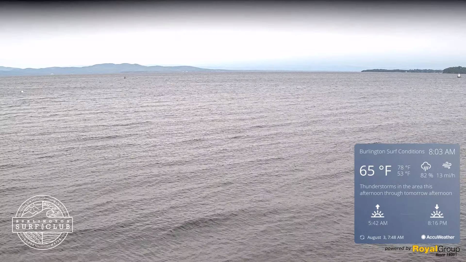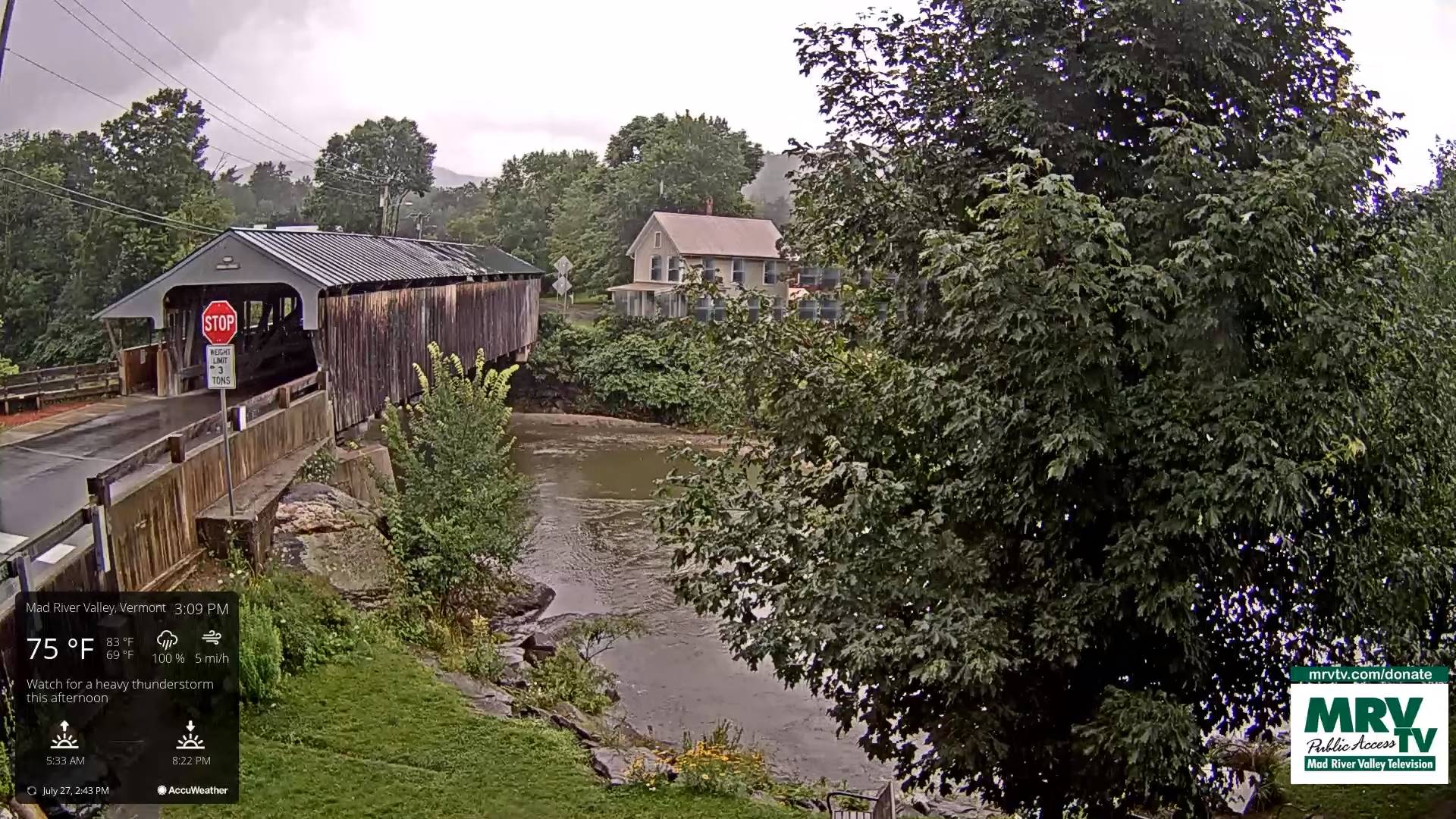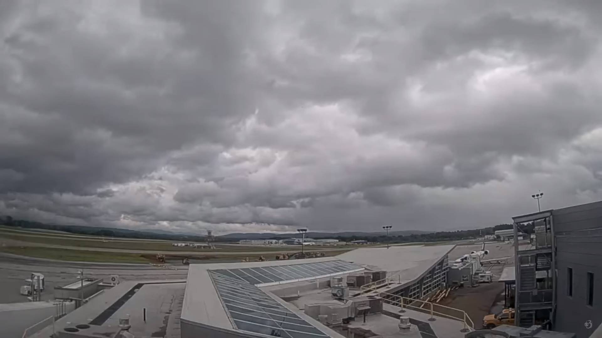
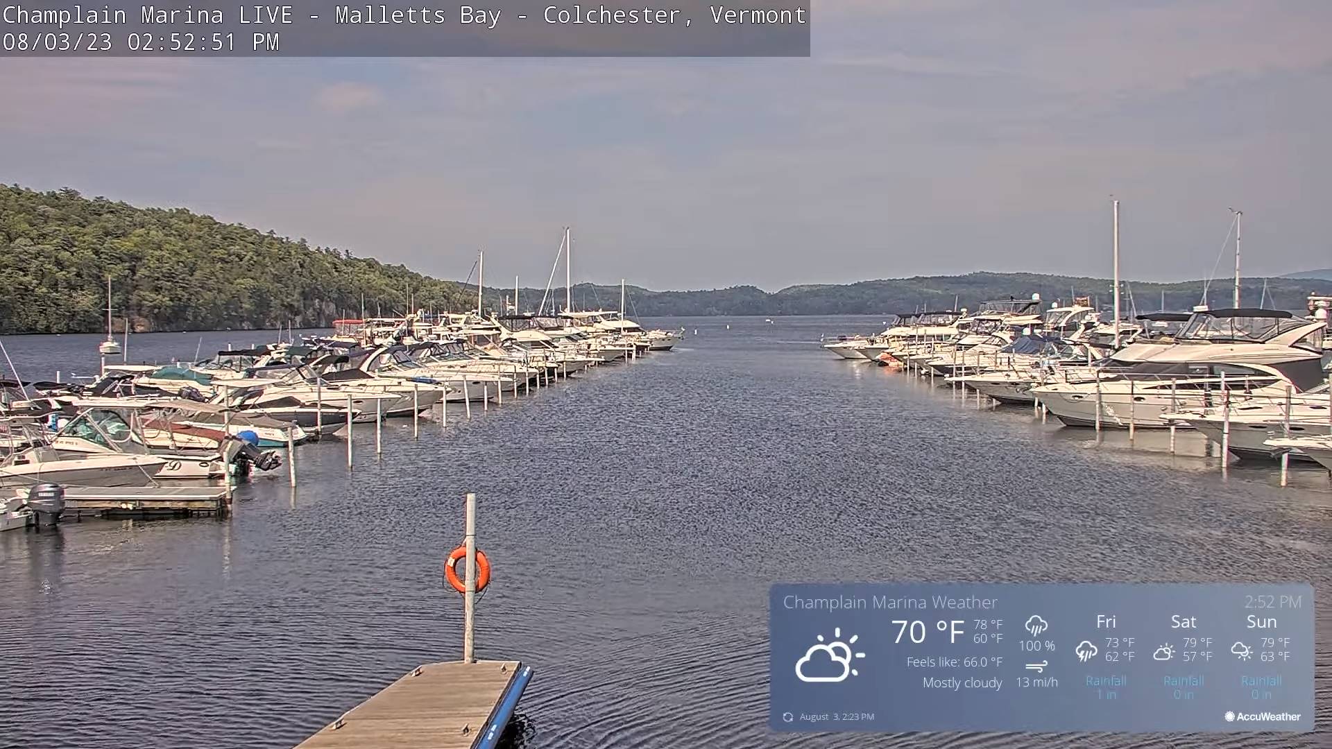
TONIGHT: Mainly cloudy. A round of evening showers and thunderstorms…some locally heavy mainly northern areas. A low near 60. South breeze 10 mph, strong near Lake Champlain.
TOMORROW: Lot of clouds with a few intervals of sun. Showers and mainly afternoon thunderstorms, some strong and locally heavy. Humid. A high in the low 70s. Light southwest breeze.
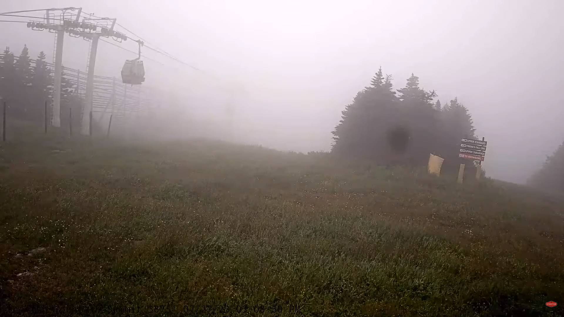
FRIDAY NIGHT: A few showers and heavy thunderstorms exiting to partial clearing. Valley fog overnight. A low in the mid-50s. Light southwest winds.
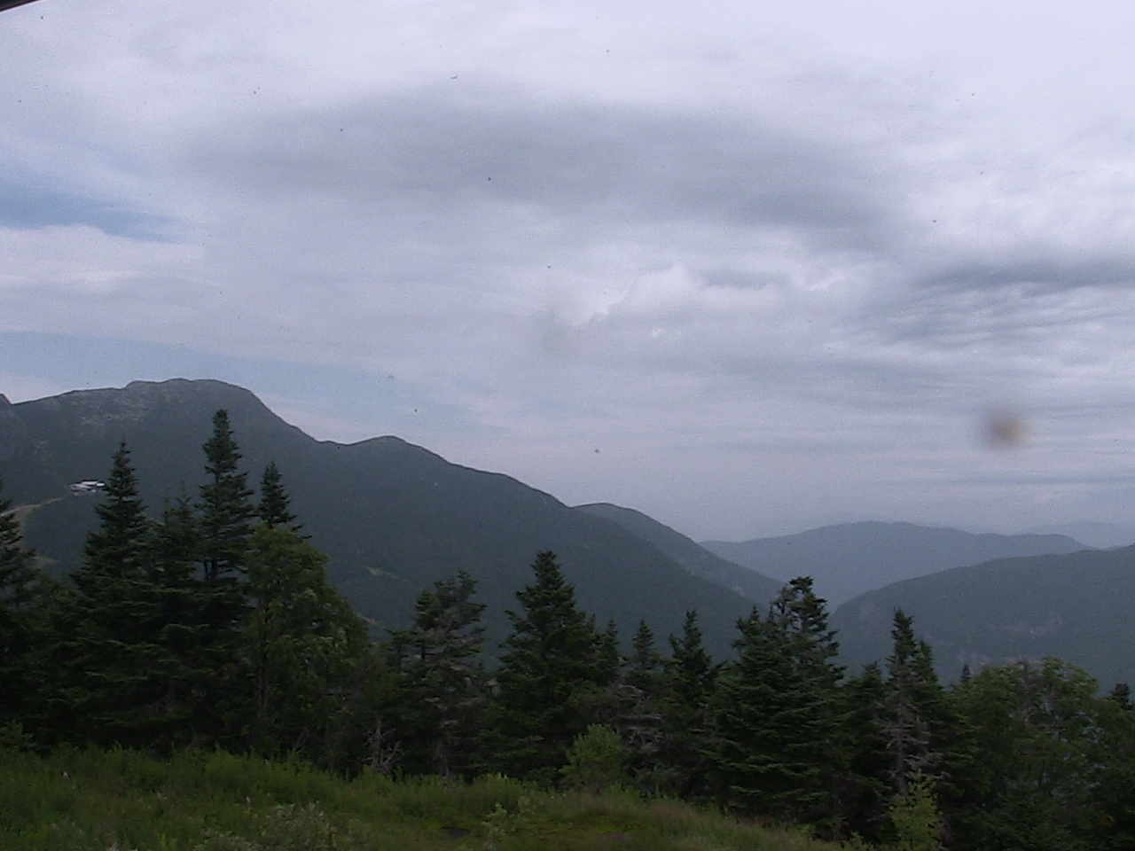
SATURDAY: Morning fog, then partly to mostly sunny, less humid and gorgeous. A high in the low 70s. Light northwest breeze.
Looking further ahead
SATURDAY NIGHT: Mostly clear. A low 50 to 55.
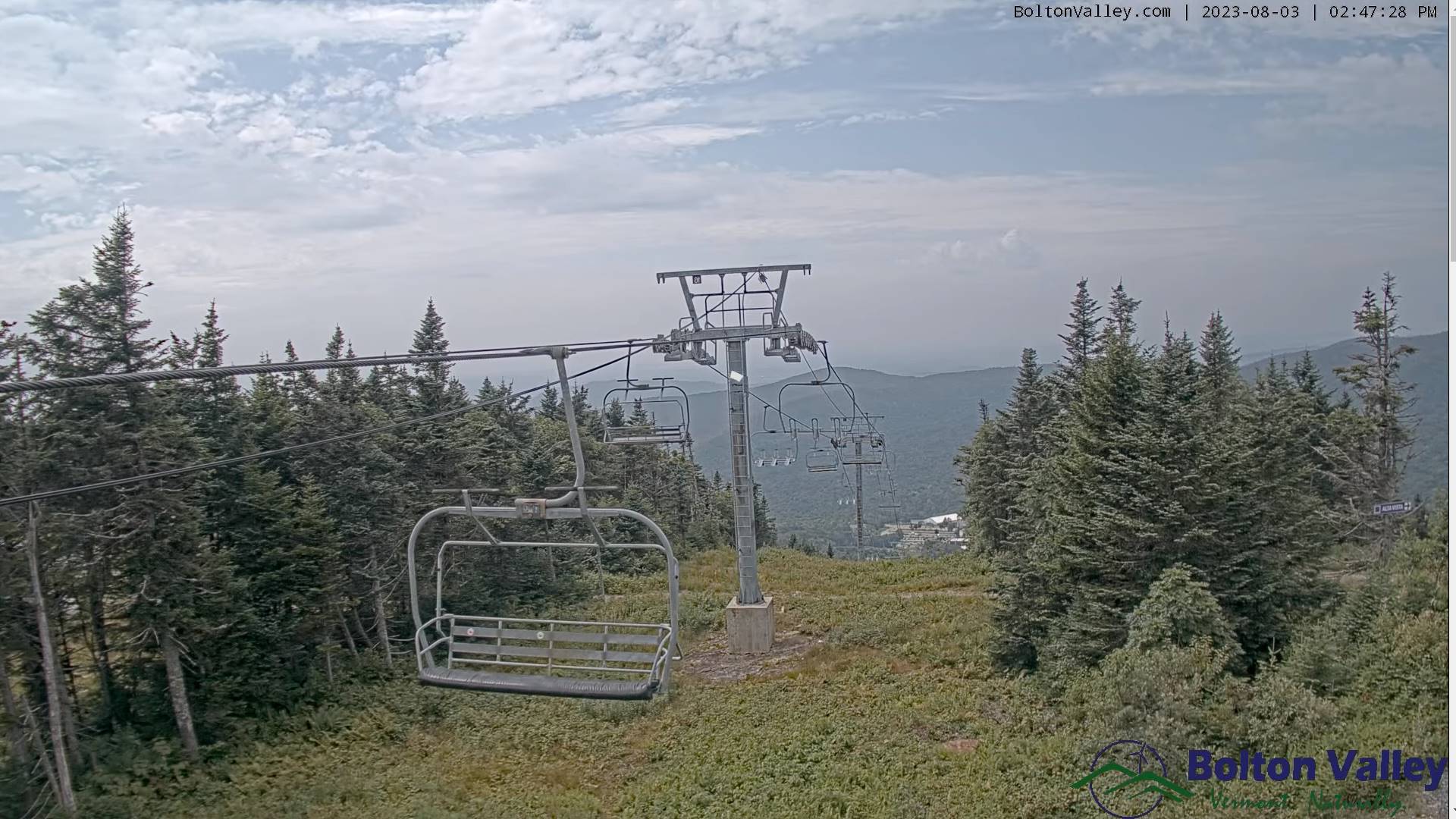
SUNDAY: Morning fog and low clouds gives way to sunshine filtered thru high cloudiness. A high near 75.
MONDAY: Sunshine with some high cloudiness. Clouding up late. A rising chance for showers and possible thunderstorms toward evening. A low in the mid-50s. A high near 75.
TUESDAY: Mixed clouds and sun. Scattered showers and isolated thunderstorms. Muggy. A low in the low to mid 60s. A high in the mid-70s.
Average lows 55 to 60. Average high mid-70s to around 80.
RH/8-3 forecast][end]