TONIGHT: Variable clouds. Patches of valley fog. A low in the mid-40s to low 50s. Light southwest winds.
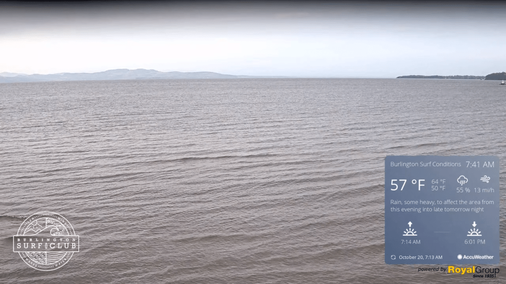
TOMORROW: Cloudy periods give way to increasing sunshine. Pleasantly mild. A high 65 to 70. Light southwest breeze.
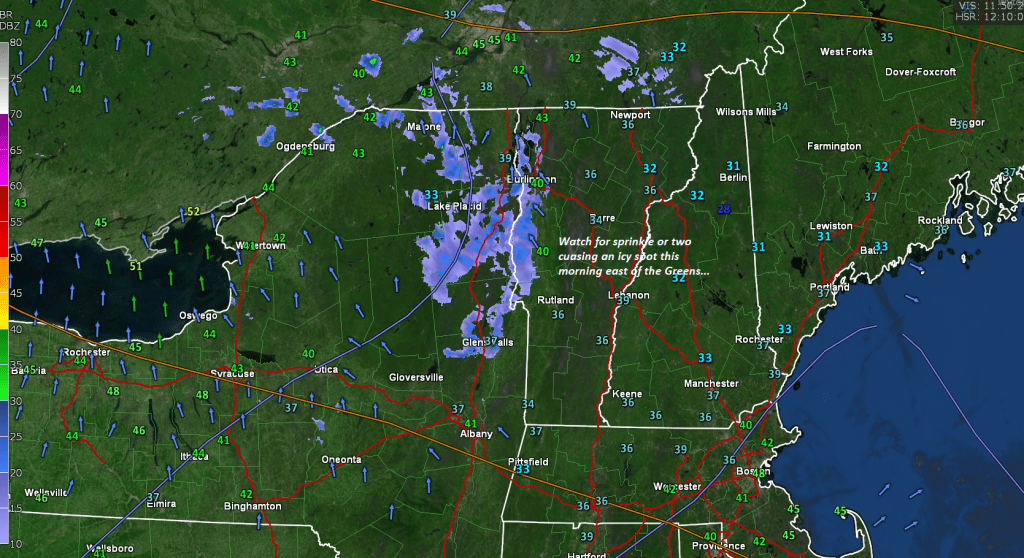
THURSDAY NIGHT: Variable clouds.Chance for a few a passing showers in northern areas. A low 50 to 55. Light south winds.
FRIDAY: Sunshine with more afternoon cloudiness. Mild. Isolated sprinkles far north. A high around 70. Southwest winds 10 mph.
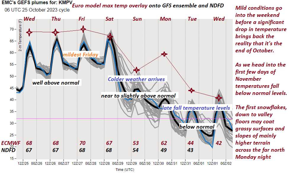
Looking further ahead
FRIDAY NIGHT: Increasingly cloudy. A spotty shower or sprinkle. A low in the mid to upper 50s.
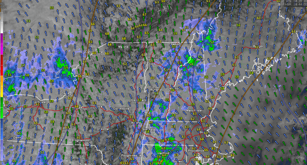
SATURDAY: Scattered showers and damp, otherwise cloudy periods, then partial clearing late. A high in the mid to upper 60s.
SUNDAY: Filtered sunshine in the morning, then thickening clouds leading to a chance for rain or showers…moderate at times. A low in the upper 30s. A high 50 to 55.
MONDAY: Cloudy. Chance for rain or showers. A low in the 40s. A high in the 50s.
Average lows are 30 to 35. Average highs in the low to mid-50s.
RH/10-23 forecast][end]