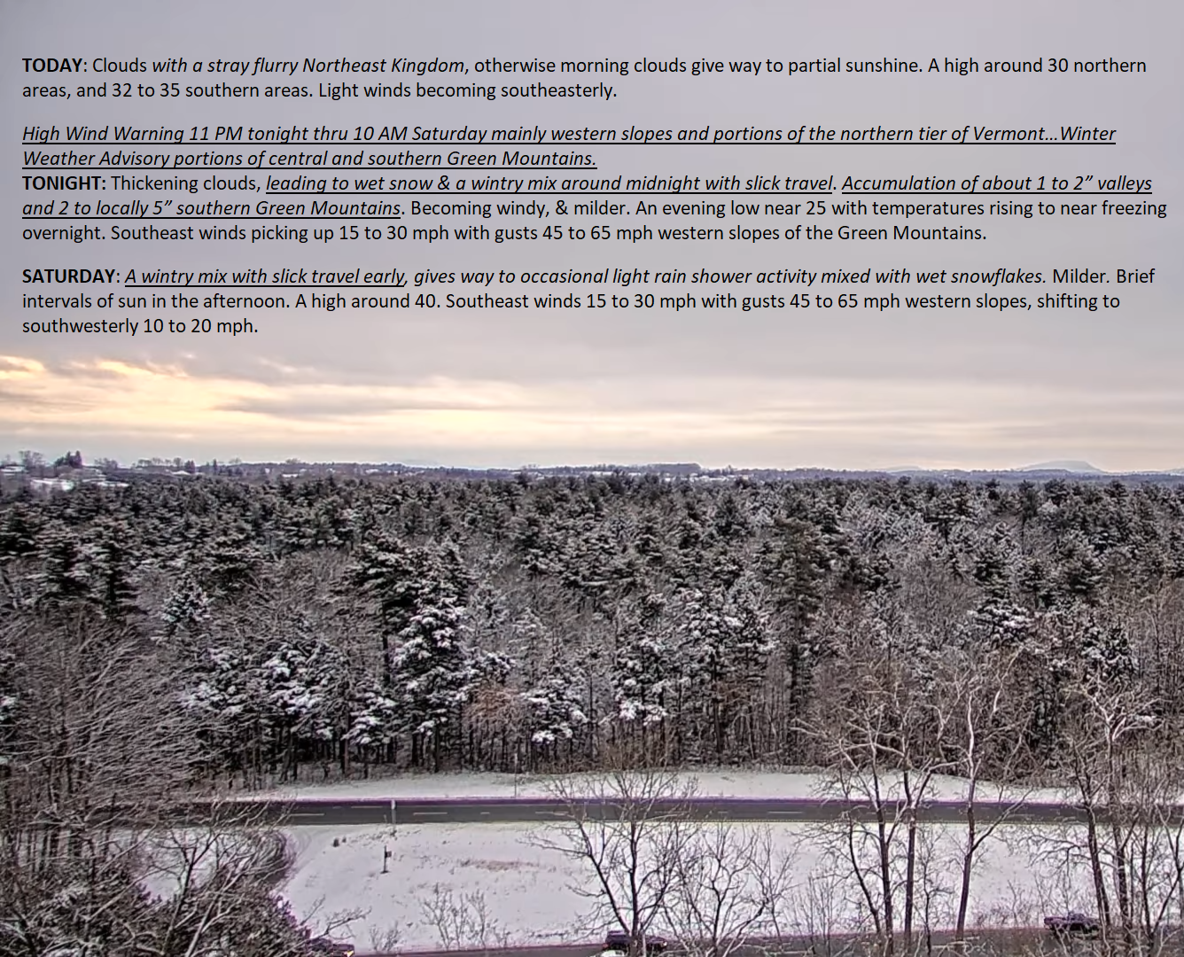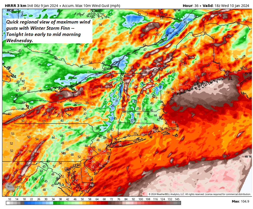
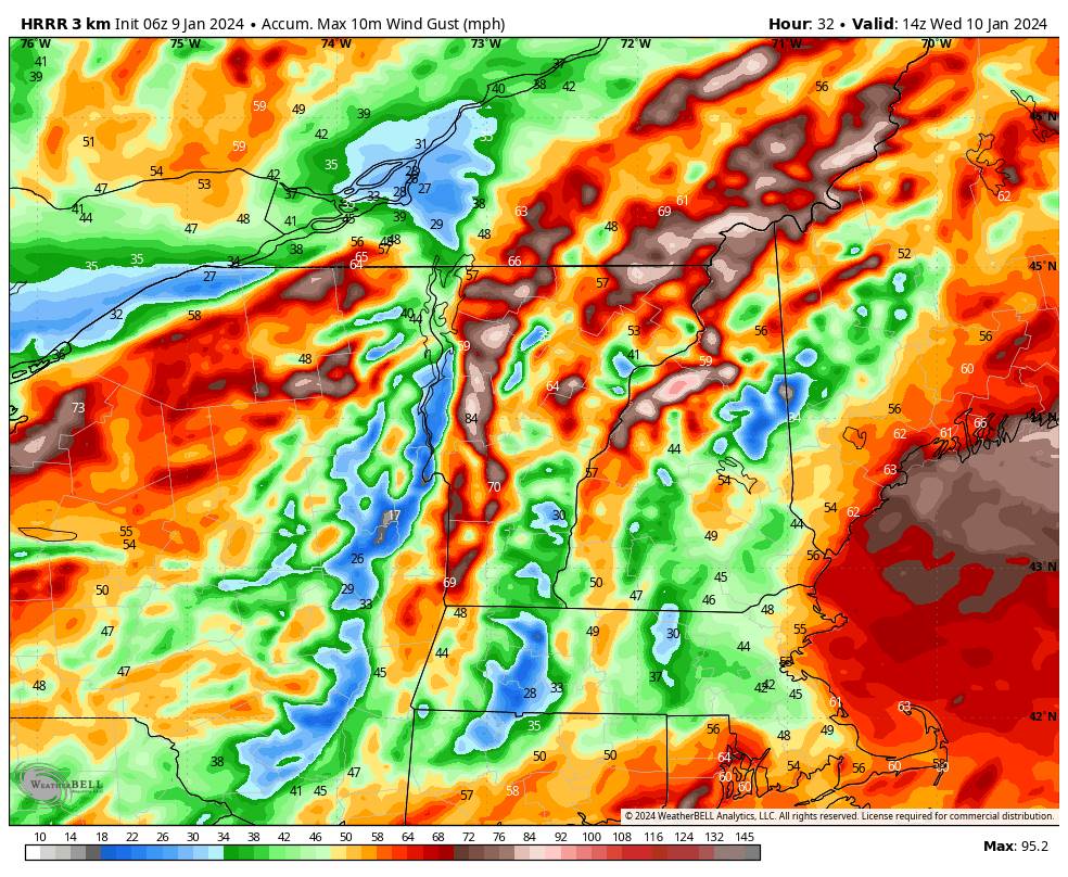
High Wind Warnings, Wind Advisories, & Winter Weather Advisories are in effect from 4 PM this afternoon, thru Wednesday Morning.
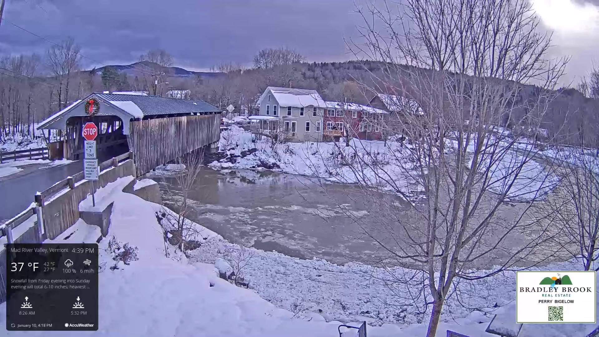
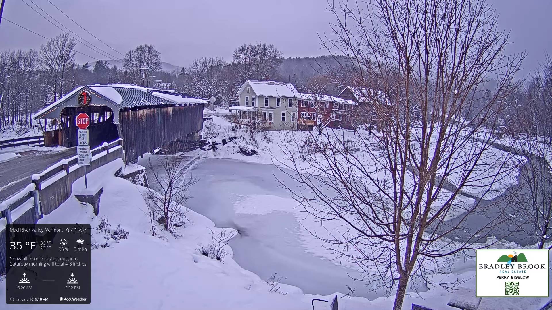
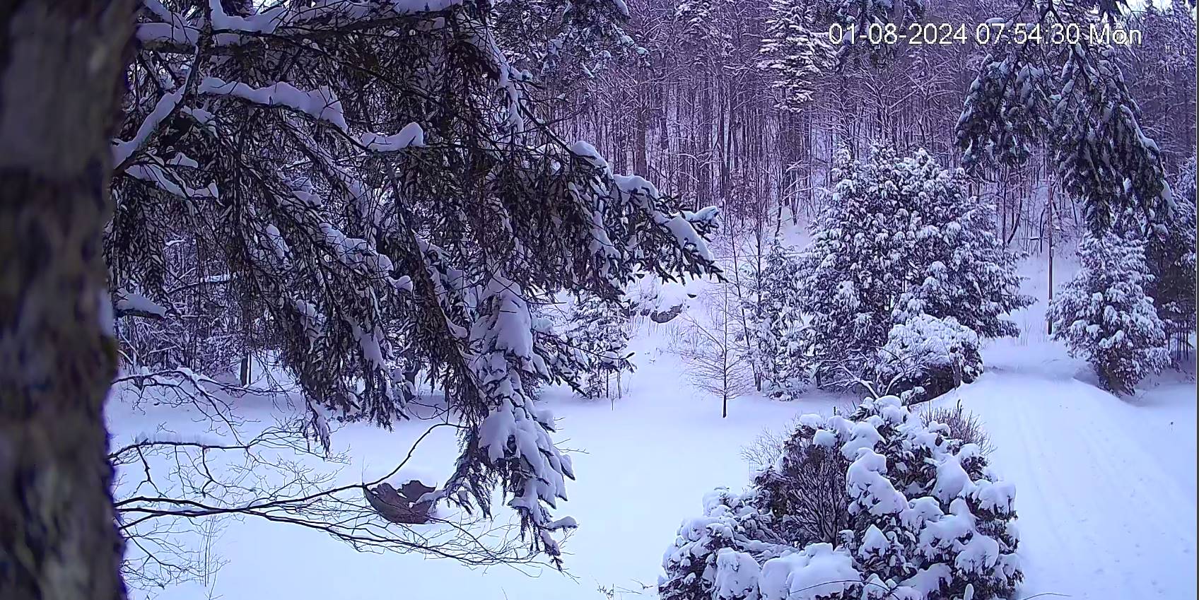
TODAY: Light accumulating snow developing before dark, otherwise gray. A high in the upper 20s to near 30. Southeast winds developing at 10 to 20 mph later in the afternoon.
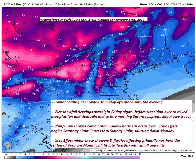
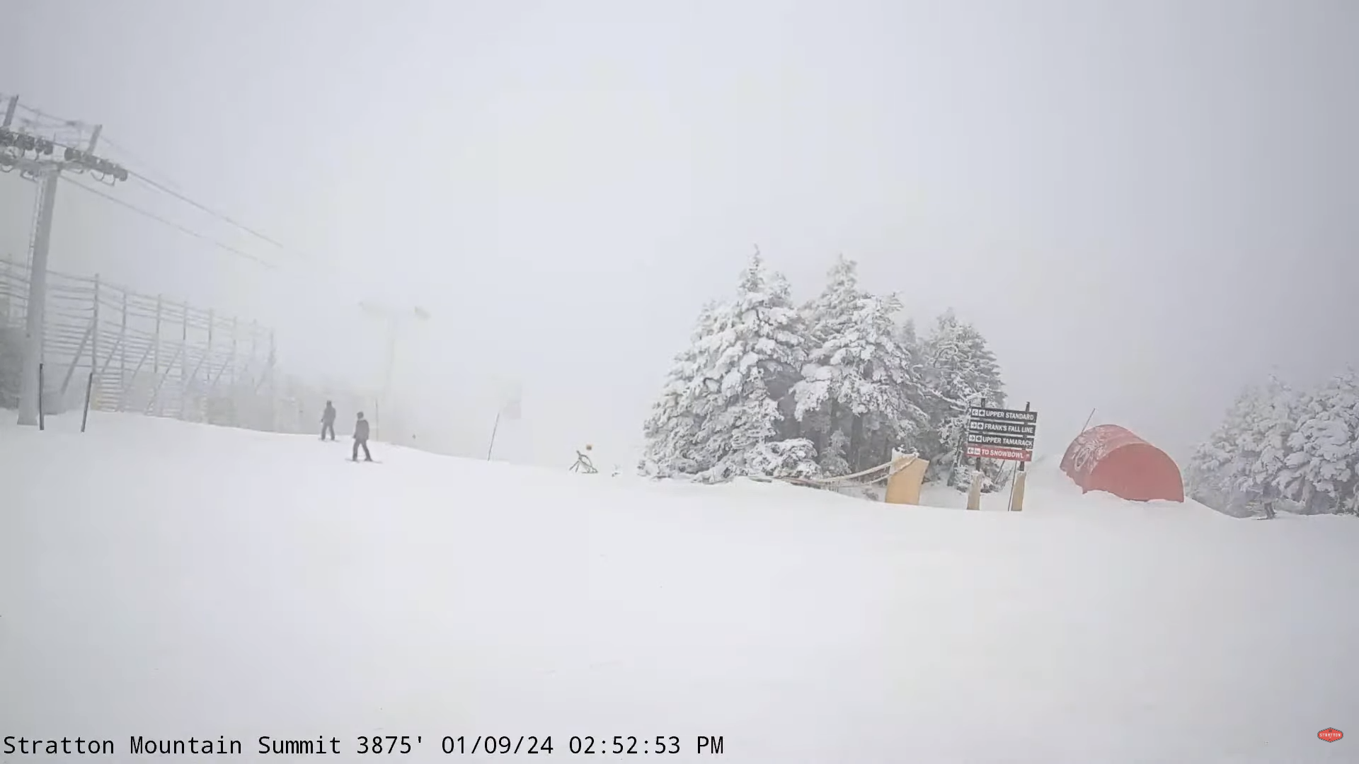
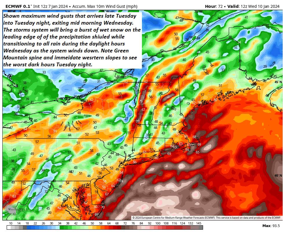
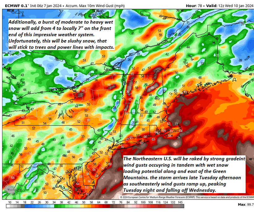
TONIGHT: Windy & overcast. A burst of heavy wet snow mainly this evening into the early morning hours…with 3” to locally 8” of accumulation (most in the central and southern Greens)…transitions to rain before daybreak. Temperatures rising into the mid and upper 30s overnight. Southeasterly winds 15 to 35 mph with gusts exceeding 45 mph near hurricane force along the western slopes of the Green Mountains, and elevated terrain.
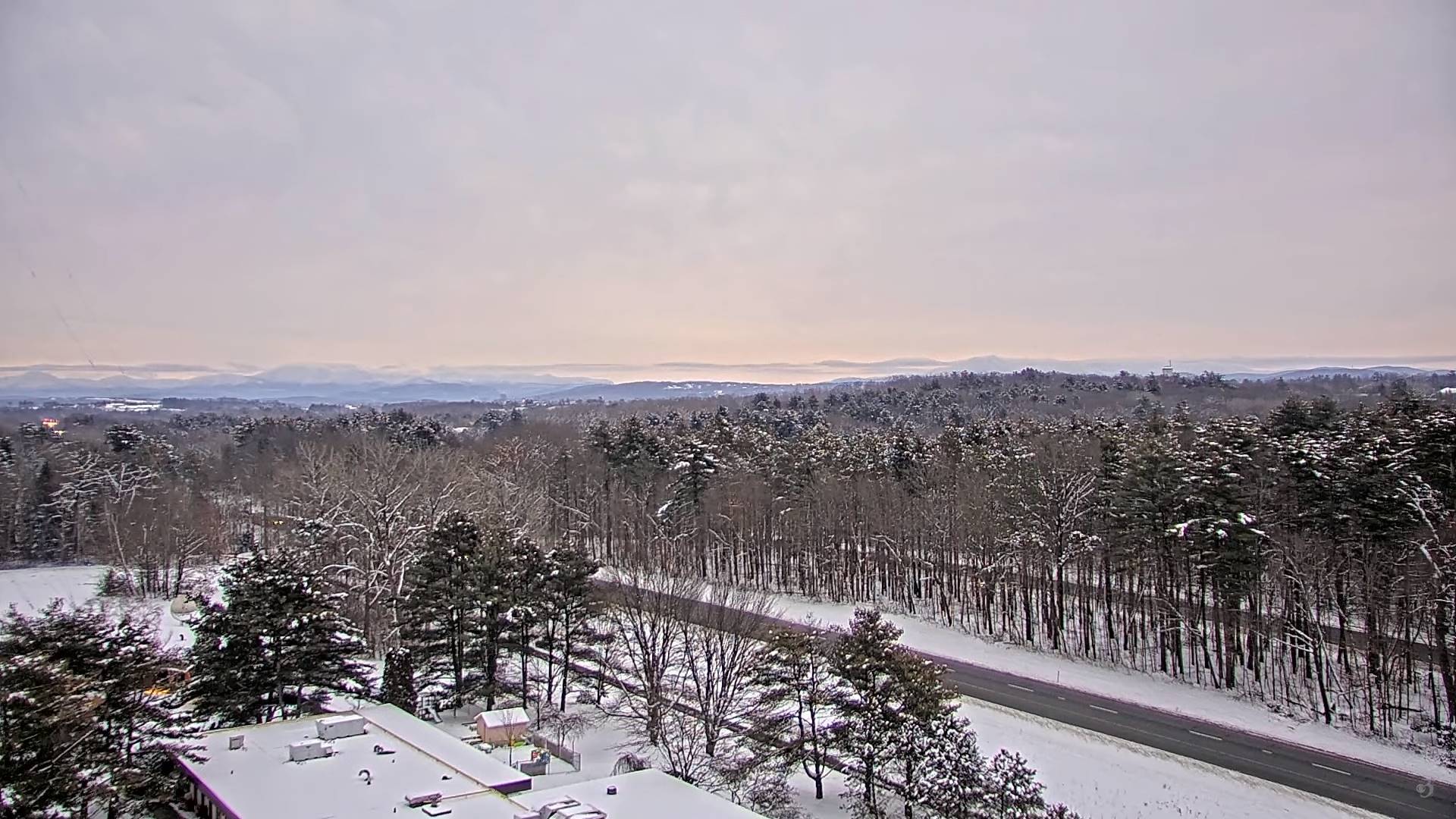
WEDNESDAY: Rain…tapering to scattered light showers later morning on. Milder with intervals of sunshine breaking out. A high 40 to 45. Southwest winds 10 to 15 mph.
Looking further ahead
WEDNESDAY NIGHT: Mostly cloudy. Widely scattered flurries. A low in the upper 20s.
THURSDAY: Mainly cloudy. A stray flurry early…becoming more numerous northern areas with a minor coating in the mountains. A high near 35
FRIDAY: Pick of the week.Partly to mostly sunny. A low in the mid to upper teens. A high around 30.
SATURDAY: Morning clouds, breezy to windy, & turning milder. Chance for accumulating wet snow with a few inches possible… transitioning to periods of rain or showers. Intervals of afternoon sunshine. A low 10 to 15. A high 40 to 45.
SUNDAY: Mostly cloudy. Chance for scattered accumulating snow showers or flurries. A low around 20. A high 30
to 35.
Average lows single digits. Average highs mid-20s to 30
RH/1-9forecast][end]