Updated Monday Morning Forecast — March 11th, 2024

Winter Storm Warnings and Advisories thru 8 PM, & Wind Advisories thru 2 AM Monday night…

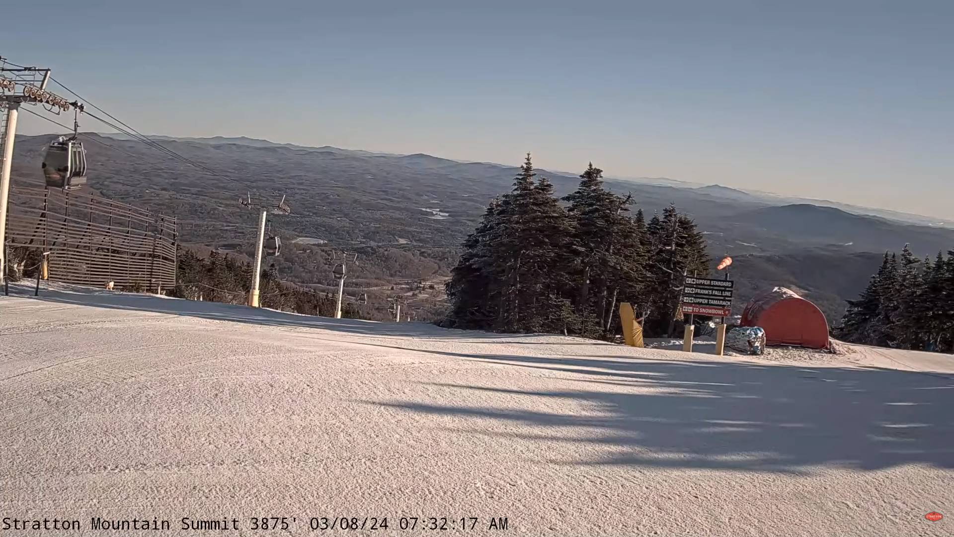
TODAY: Considerable cloudiness & rather blustery to windy. Frequent mountain snow showers and flurries. Accumulations of 1 to locally 4” western slopes of the Greens. Perhaps some late day partial clearing. A high near 32 degrees. Northwest winds 10 to 25 mph with higher gusts near the mountains.

TONIGHT: Partly to mostly cloudy with a stray mountain flurry. A low 20 to 25. Northwest winds 10 to 20 mph becoming light overnight.

TUESDAY: A beauty with bright sun and blue skies. Warming trend. A high 35 to 40. Little wind.

Looking further ahead

TUESDAY NIGHT: Mostly clear.A low around 25.

WEDNESDAY: Morning sun, then more afternoon clouds with a chance for a few passing rain showers. A high in the upper 40s.

THURSDAY: Mixed sun and clouds. A low around 25. A high pushing to near 50.

FRIDAY: Increasingly cloudy.A rising chance for rain showers.A low in the mid to upper 30s. A high 45 to 50.

Average lows mid-teens to low 20s. Average highs mid-30s to low 40s

RH/3-11forecast][end]

Updated Friday Evening Forecast — March 8th, 2024

TONIGHT: High cloudiness thickening up overnight. A low in the upper 20s. Light winds, becoming southeasterly 10 mph stronger Lake Champlain.

TOMORROW: Cloudy & gray. A high 40 to 45. Southeast winds 10 to 20 mph.

SATURDAY NIGHT: Overcast. Accumulating wet snow or a wintry mix…moderate to briefly heavy overnight. Rain and wet snow combination across western valley floors. A low 30 to 32. East to southeast winds 10 to 20 mph overnight strongest across central and southern Green Mountain western slopes.

SUNDAY: Cloudy. Wet snow…mixing with rain valley floors. Accumulations of a few to several slushy inches elevated terrain with lesser amounts many valley floors. An afternoon high in the upper 30s. Light north winds, becoming westerly 10 to 15 mph.

Looking further ahead

SUNDAY NIGHT: Lots of clouds. Mixed rain and wet snow showers changing to snow and especially western slope of the Green Mountains with a few additional inches locally.Blustery and colder.A low around 25.

MONDAY: Mainly cloudy. Chance for lingering snow showers with some additional accumulation. A high near freezing or 32 degrees. Gusty northwesterly winds.

TUESDAY: Some morning clouds then increasing sunshine. A low upper teens to mid-20s. A high in the upper 30s.

WEDNESDAY: Sunshine mixing with more clouds. A low near 10. A high 45 to 50.

Average lows ranges thru the teens. Average highs mid-30s to around 40.

RH/3-8forecast][end]

Updated Friday Morning Forecast — March 8th, 2024

TODAY: Pick of the week. Bright sun and blue skies with a few high clouds this afternoon. A high upper 40s near 50. Light northeast winds.

TONIGHT: High cloudiness otherwise fair. A low in the upper 20s. Light winds, becoming southeasterly 10 mph stronger Lake Champlain.

SATURDAY: Cloudy & gray. A high 40 to 45. Southeast winds 10 to 15 mph.

Looking further ahead

SATURDAY NIGHT: Overcast. Accumulating wet snow or a wintry mix…moderate to briefly heavy overnight. Rain and wet snow combination across western valley floors. A low 30 to 32. Gusty east to southeast winds overnight western Green Mountain slopes.

SUNDAY: Cloudy. Wet snow…mixing with rain valley floors. Accumulations of a few to several slushy inches elevated terrain with lesser amounts many valley floors. An afternoon high in the upper 30s.

MONDAY: Mainly cloudy. Chance for lingering snow showers with some additional accumulation. A low 20 to 25. A high near freezing or 32 degrees.

TUESDAY: Some morning clouds then increasing sunshine. A low upper teens to mid-20s. A high in the upper 30s.

WEDNESDAY: Sunshine mixing with more clouds. A low near 10. A high 45 to 50.

Average lows ranges thru the teens. Average highs mid-30s to around 40.

RH/3-8forecast][end]

Updated Thursday Evening Forecast — March 7th, 2024

TONIGHT: Some leftover clouds this evening, then becoming clear and colder. A low in the mid-20s. Light northeast winds.

TOMORROW: Pick of the week. Bright sun and blue skies with a few high clouds. A high upper 40s near 50. Light northeast winds.

FRIDAY NIGHT: High cloudiness otherwise fair. A low 25 to 30. Light northwest winds.

SATURDAY: Lots of clouds. A high 40 to 45. Light winds.

Looking further ahead

SATURDAY NIGHT: Overcast. Accumulating wet snow or a wintry mix…likely, moderate to briefly heavy overnight. Rain wet snow combination likely western valley floors overnight. A low around 30.

SUNDAY: Cloudy. Wet snow mixing with rain especially valley floors. Accumulations of several slushy inches, elevated terrain with lesser amounts valley floors.. A high in the upper 30s.

MONDAY: Mainly cloudy. Chance for lingering snow showers with some additional accumulation. A low around 20. A high around 35.

TUESDAY: A few mountain flurries, giving way to intervals of afternoon sunshine. A low around 25. A high in the mid to upper 30s.

Average lows ranges thru the teens. Average highs mid-30s to around 40.

RH/3-7forecast][end]

Updated Thursday Morning Forecast — March 7th, 2024

TODAY: Transition day. Rain exiting this mid to late morning. Otherwise cloudiness gives way to hints of late afternoon sunshine. A high near 45. North to northeast winds 10 to 15 mph.

TONIGHT: Some high clouds in the evening, then clear and colder. A low 20 to 25. Light northeast winds.

FRIDAY: Pick of the week. Bright sun and blue skies with a few high clouds. A high upper 40s to near 50. Light northeast winds.

Looking further ahead

FRIDAY NIGHT: High cloudiness otherwise fair. A low in the upper 20s to around 30.

SATURDAY: Lots of clouds. A high 40 to 45.

SUNDAY: Cloudy. Rising chance for wet snow mixing with rain especially western valley floors. Accumulations of a few to possibly several inches slushy inches, especially elevated terrain. A low 30 to 32. A high in the upper 30s.

MONDAY: Mainly cloudy. Chance for lingering snow showers with some additional accumulation. A low around 20. A high around 35.

TUESDAY: A few mountain flurries, giving way to intervals of afternoon sunshine. A low around 25. A high in the mid to upper 30s.

Average lows ranges thru the teens. Average highs mid-30s to around 40.

RH/3-7forecast][end]

Updated Wednesday Evening Forecast — March 6th, 2024

TONIGHT: Cloudy. Rain…moderate at times, with a possible spotty freezing rain across the high terrain. A low near 35. Light north to northeast winds.

TOMORROW: Transition day. Periods of rain early exiting to considerable cloudiness. Maybe some hints of afternoon sun. A high near 45. North to northeast winds 10 to 15 mph.

THURSDAY NIGHT: Some high clouds in the evening, then clear and colder. A low near 25. Light northeast winds.

FRIDAY: Pick of the week. Bright sun and blue skies. A high upper 40s. Light northeast winds.

Looking further ahead

FRIDAY NIGHT: High cloudiness otherwise fair. A low 25 to 30.

SATURDAY: Lots of clouds. A high around 40.

SUNDAY: Cloudy. Rising chance for wet snow. Accumulations of a slushy few inches, especially in the mountains. A low near 32. A high mid to upper 30s.

MONDAY: Mainly cloudy. Chance for lingering snow showers with some additional accumulation. A low around 20. A high around 35.

TUESDAY: A few mountain flurries, giving way to int4rvals of afternoon sunshine. A low in the 20s. A high 30 to 35.

Average lows ranges thru the teens. Average highs mid-30s to around 40.

RH/3-4forecast][end]

Updated Wednesday Morning Forecast — March 6th, 2024

TODAY: Gray damp and raw. Rain or rain showers northwestern areas gradually spreading southeast…moderate at times late this afternoon. Areas of fog. A high mid to upper 40s. Little wind.

TONIGHT: Cloudy. Rain…moderate at times, with a possible wintry mix higher terrain. A low near 35. Light north to northeast winds.

THURSDAY: Transition day. Periods of rain early exiting to considerable cloudiness. Maybe some hints of afternoon sun. A high 40 to 45. North to northeast winds 10 to 15 mph.

Looking further ahead

THURSDAY NIGHT: Some high clouds in the evening, then clear and colder. A low near 25.

FRIDAY: Pick of the week. Bright sun and blue skies. A high upper 40s around 50.

SATURDAY: Lots of clouds. A low 25 to 30. A high around 45.

SUNDAY: Cloudy. Rising chance for wet snow. Accumulations of a slushy few inches, especially in the mountains. A low near 32. A high mid to upper 30s.

Average lows ranges thru the teens. Average highs mid-30s to around 40.

RH/3-4forecast][end]