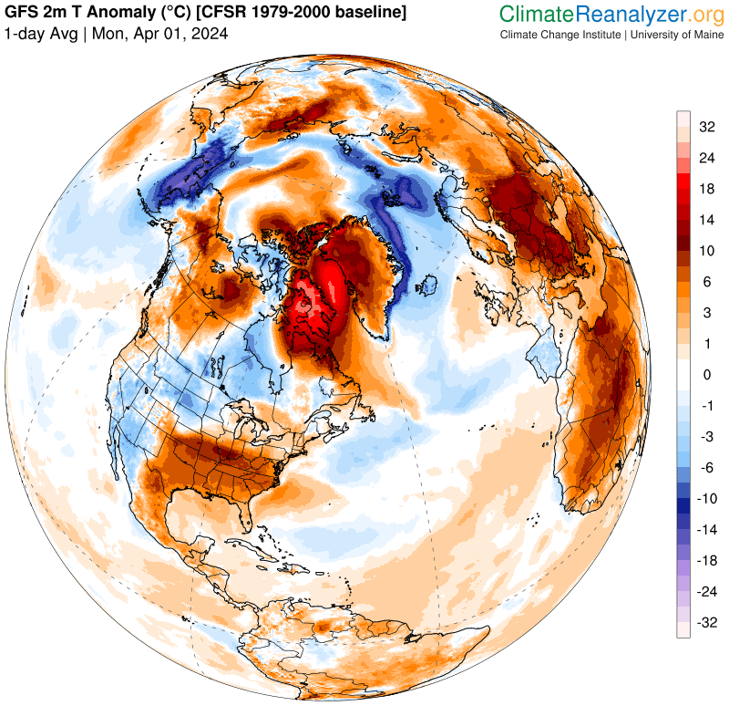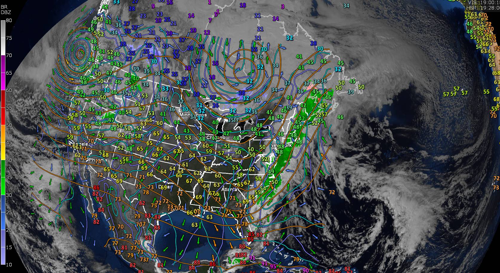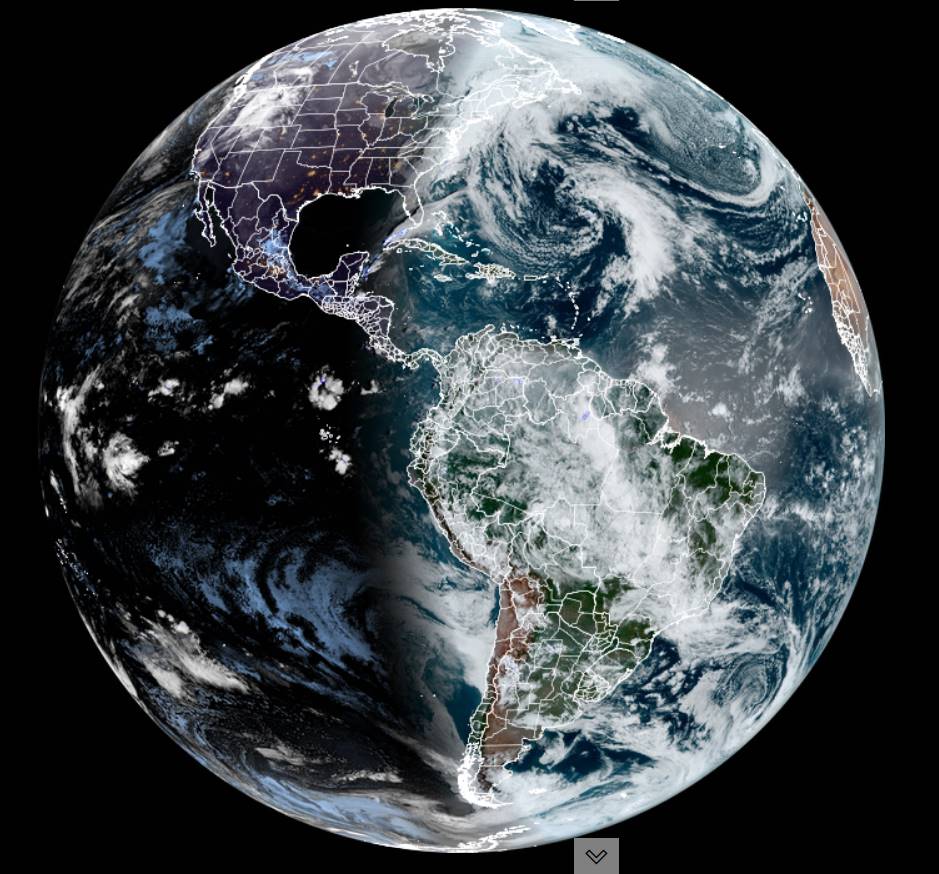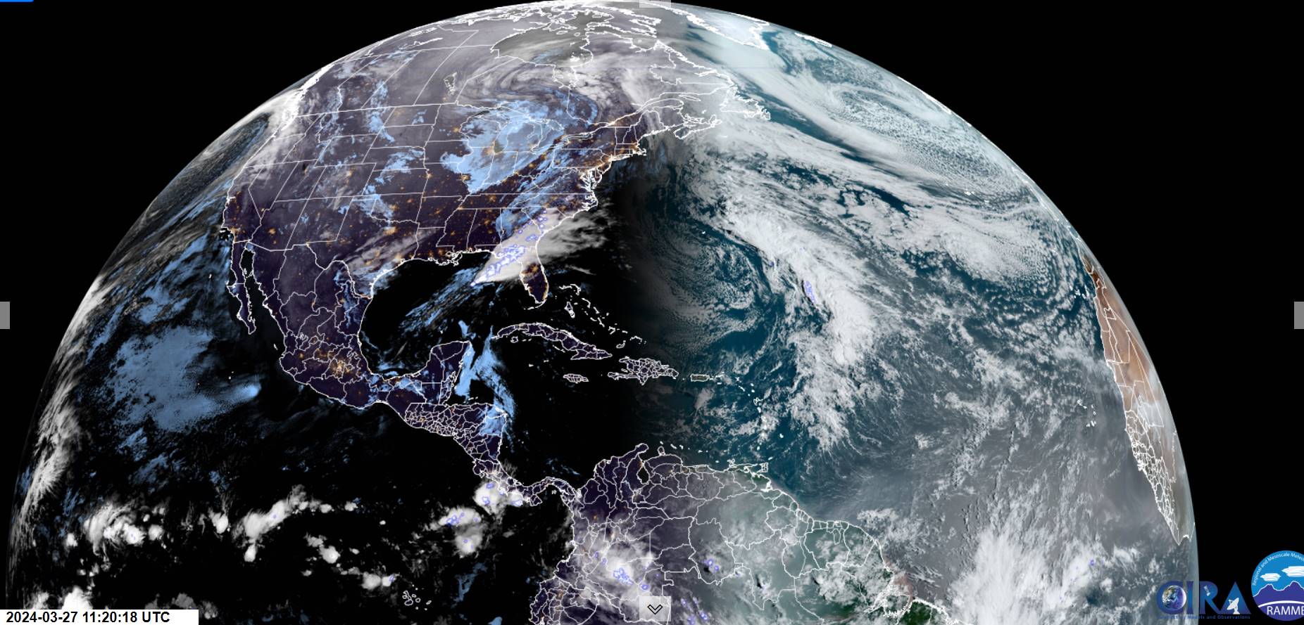
Winter Storm Watch Wednesday morning thru late Thursday night, High Wind Watch Wednesday afternoon thru Thursday morning…
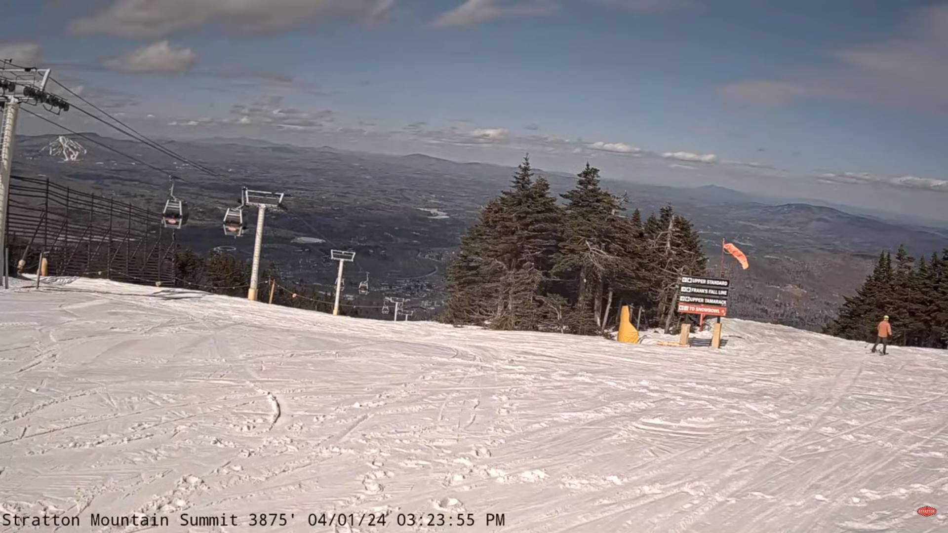
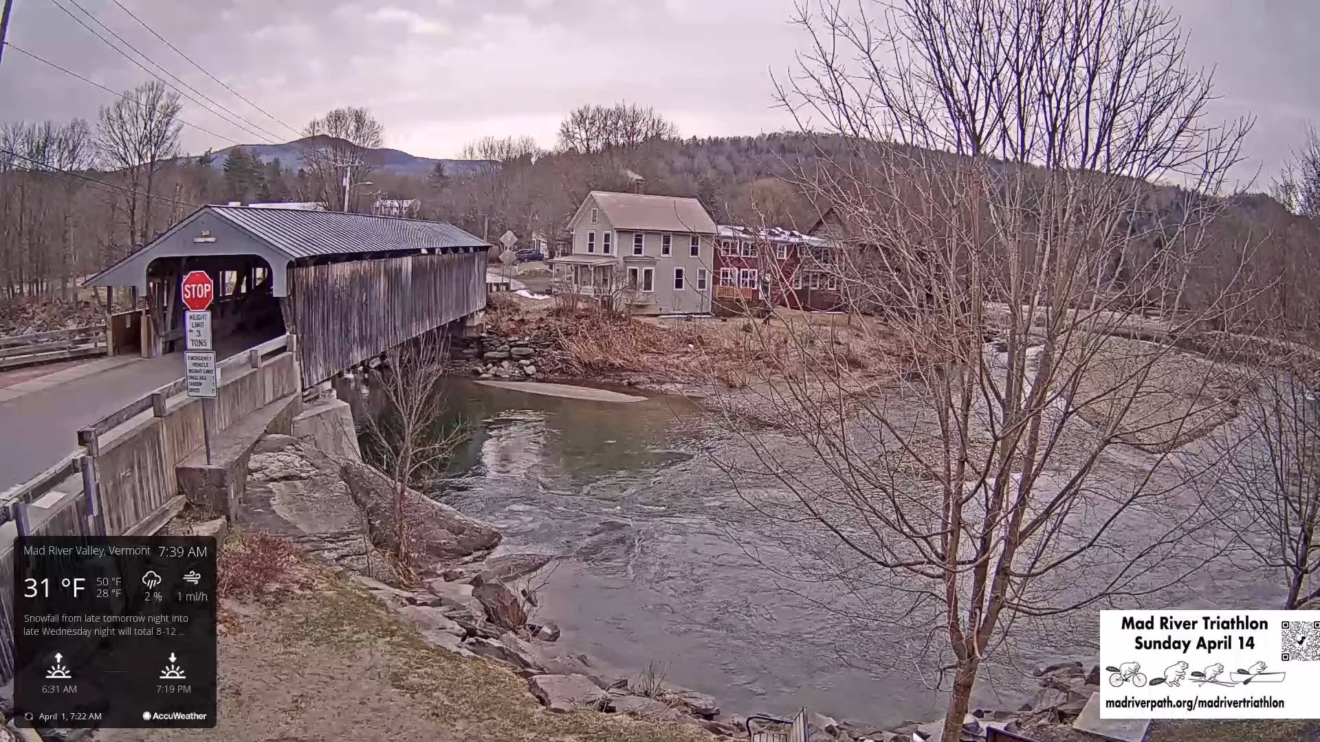
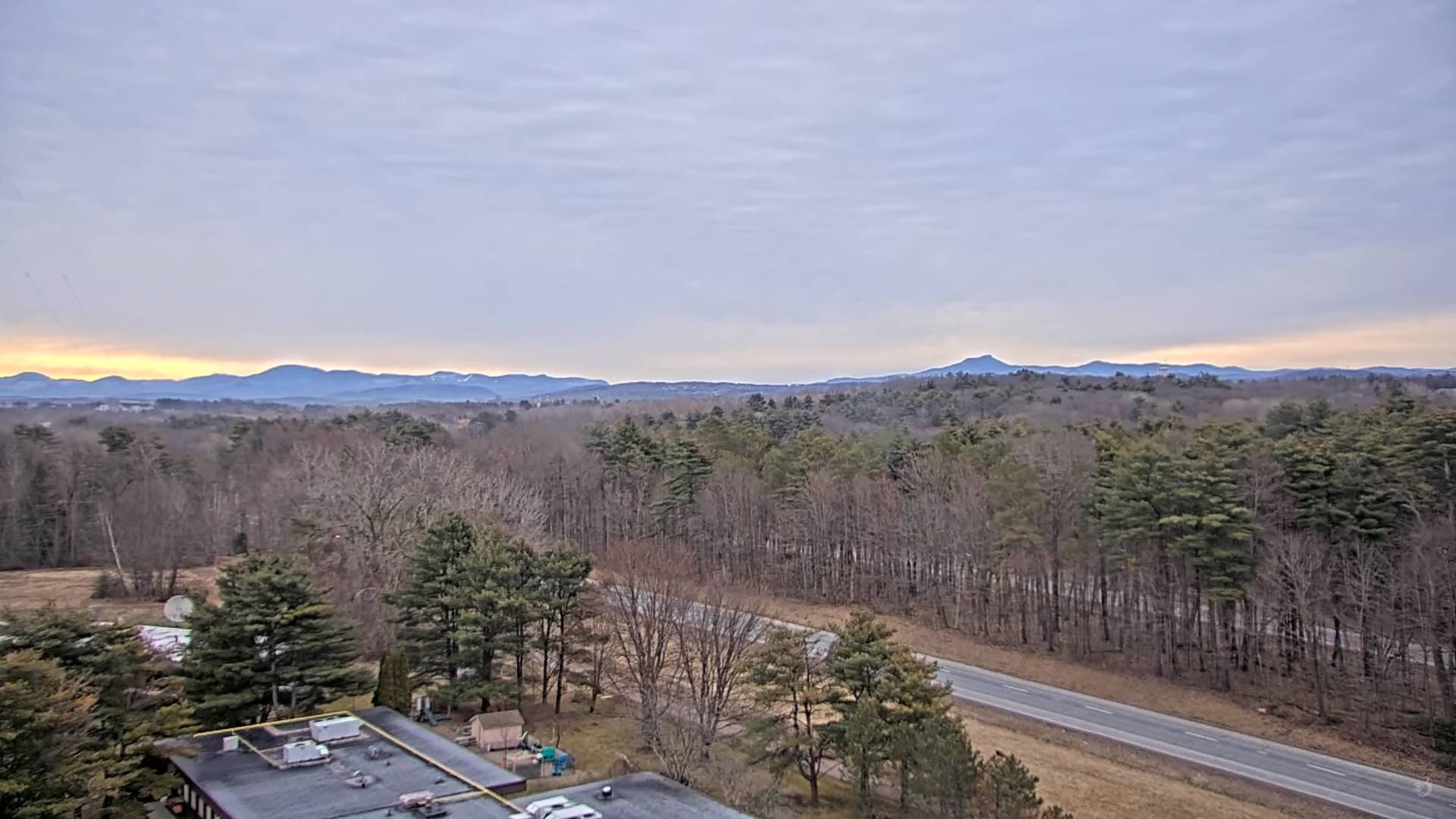
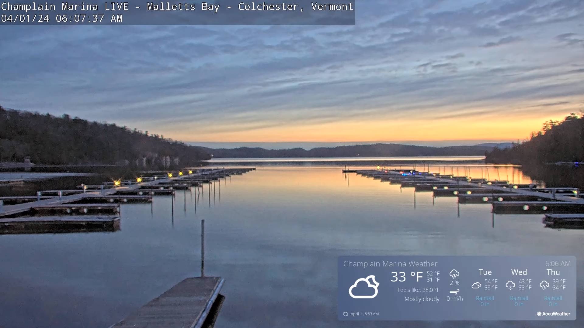
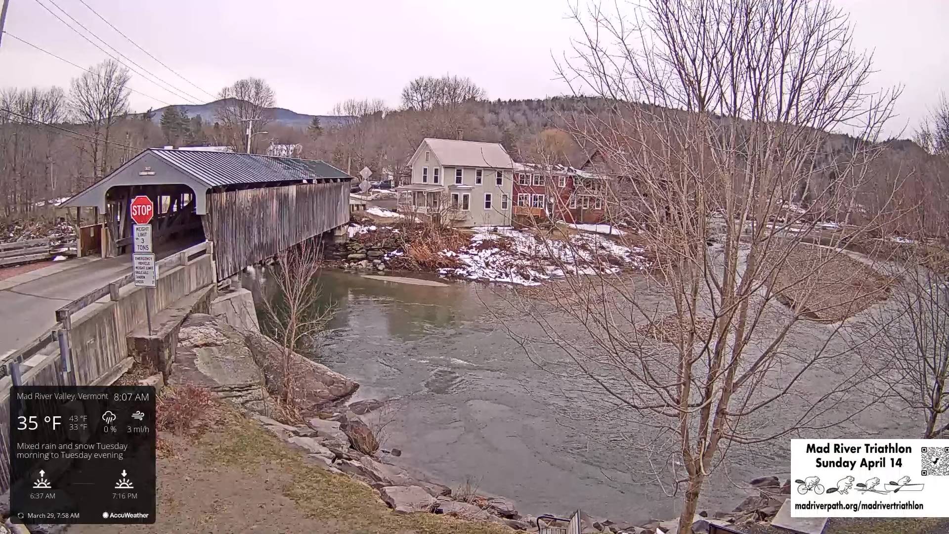
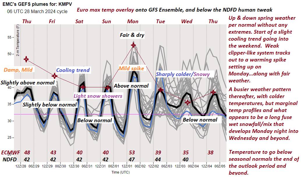
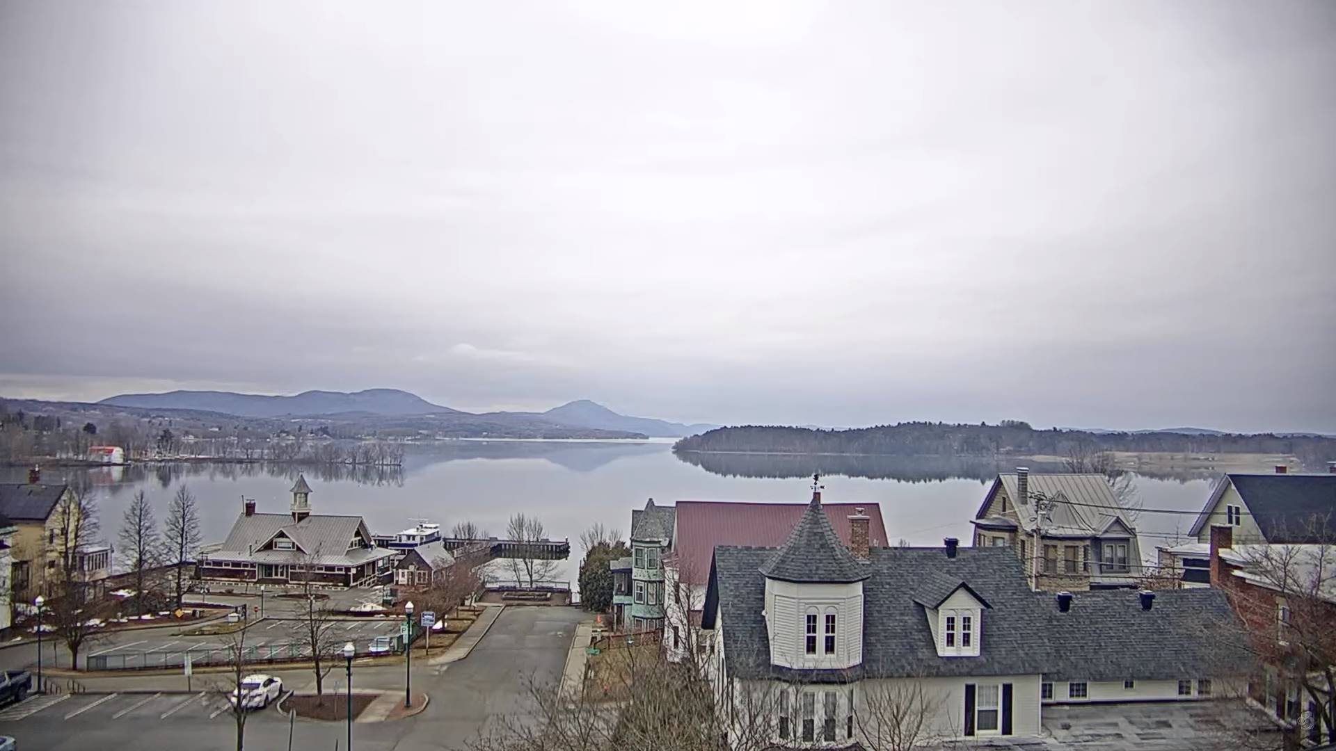
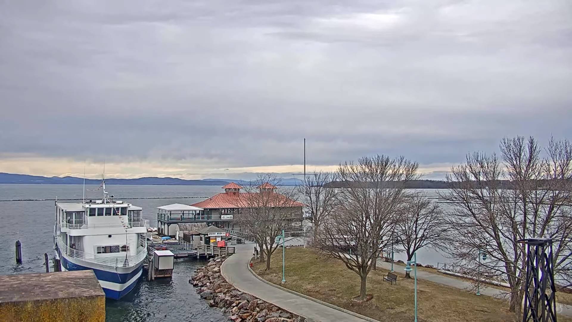
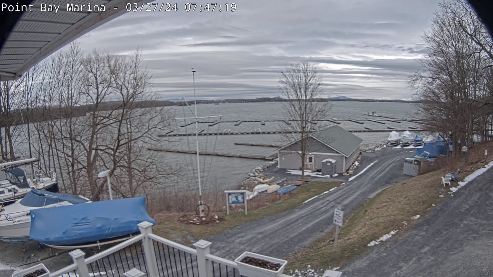
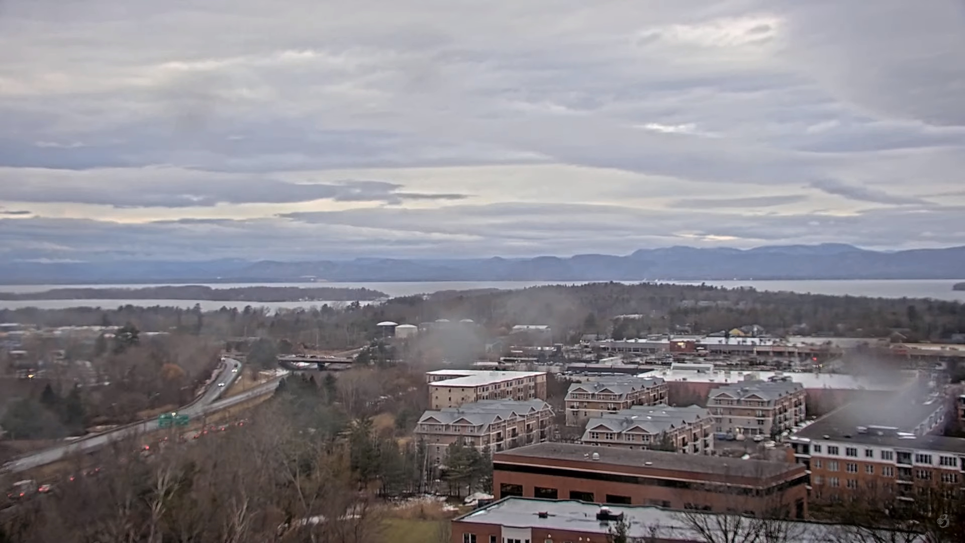
TODAY: Sunshine filtered thru high clouds central and northern areas, cloudy southern areas. A high in the low 50s. Light northeast winds.
TONIGHT: Fair this evening, then thickening clouds. Scattered rain showers developing this evening far southern areas.A low 30 to 35. Blustery at times far southern areas. East to southeast winds 10 to 15 mph.
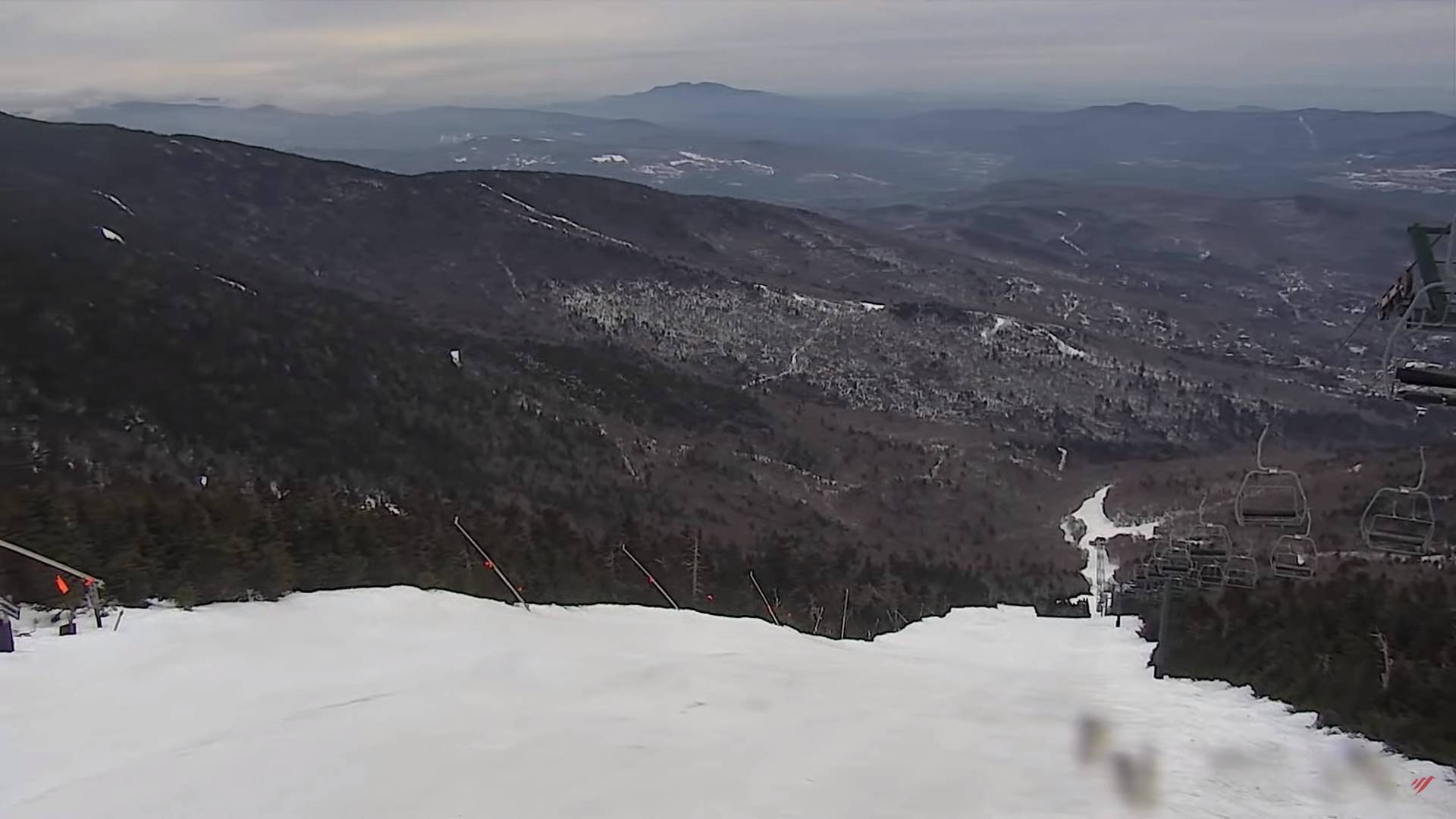
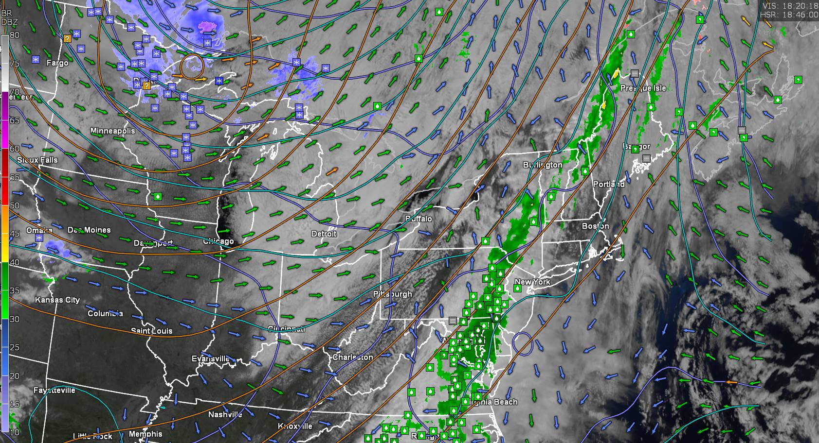
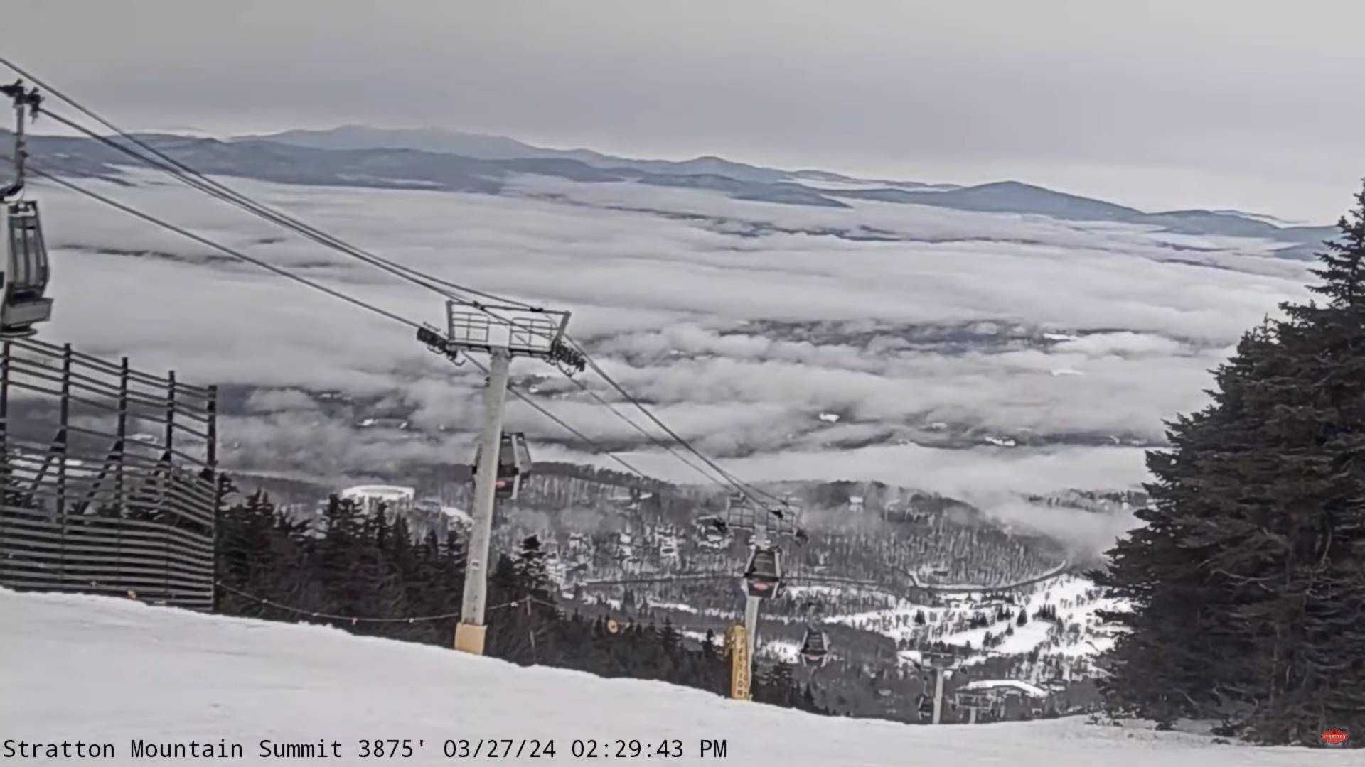
WEDNESDAY: Overcast. Rain developing across the valleys, mixed with accumulating wet snow elevated terrain. Up to inch or two slushy accumulation above 1000 to 1500 ft. Blustery to windy mountains & western slopes. A high in the mid to upper 30s. Easterly winds 10 to 20 mph stronger southern areas.
Looking further ahead
WEDNESDAY NIGHT: Cloudy. A wintry mix likely. Wet snow & sleet accumulations of 3 to 6”. A low 30 to 32. Blustery to windy with gusty easterly winds.
THURSDAY: Gray. Periods of accumulating wet snow likely, accumulation 2 to 4 inches. A high 32 to 35.
FRIDAY: Cloudy. Light accumulating wet snow showers, mixed with rain valleys. A dusting to locally 3” inches mainly in the mountains. A low near 30. A high mid to upper 30s.
SATURDAY: Gray. Scattered leftover rain or wet snow showers early exiting late morning. A low in the low 30s. A high near 40.
SUNDAY: Morning clouds, giving way to bright sunshine and blue skies. A low mid to upper 20s. A high around 45.

Total Solar Eclipse April 8th 3:25 PM EDT
MONDAY: Mostly sunny with a few high clouds. A low mid to upper 20s. A high near 55.
TUESDAY: Mostly sunny. A low around 30. A high 50 to 55.
Average lows 25 to 30. Average highs 45 to 50.
Start of meteorological summer June 6th
RH/4-1forecast][end]