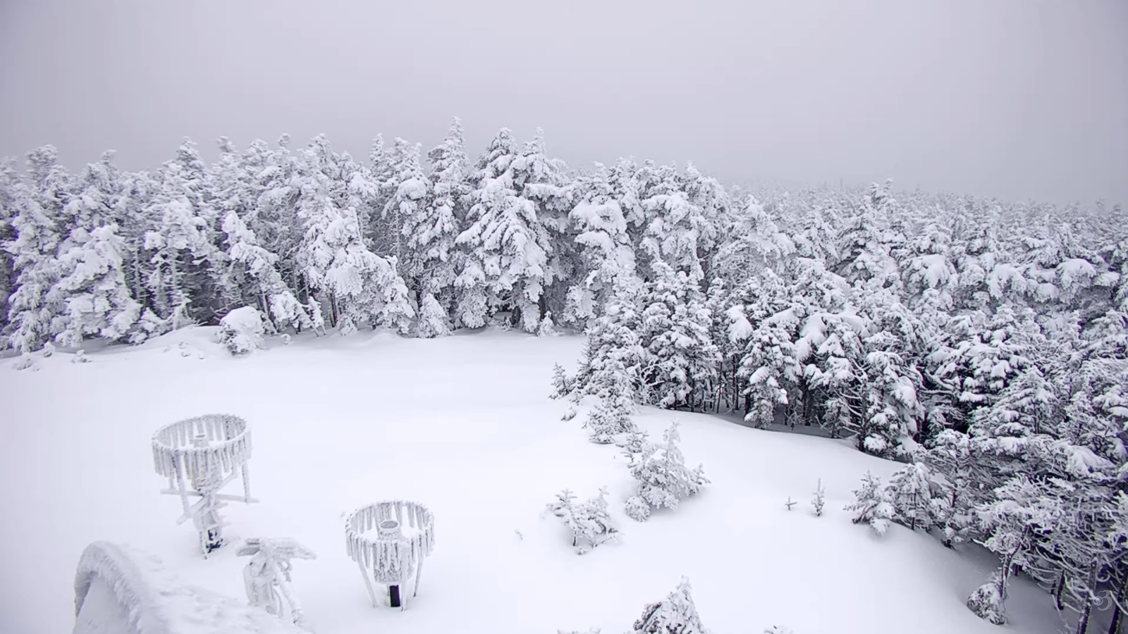
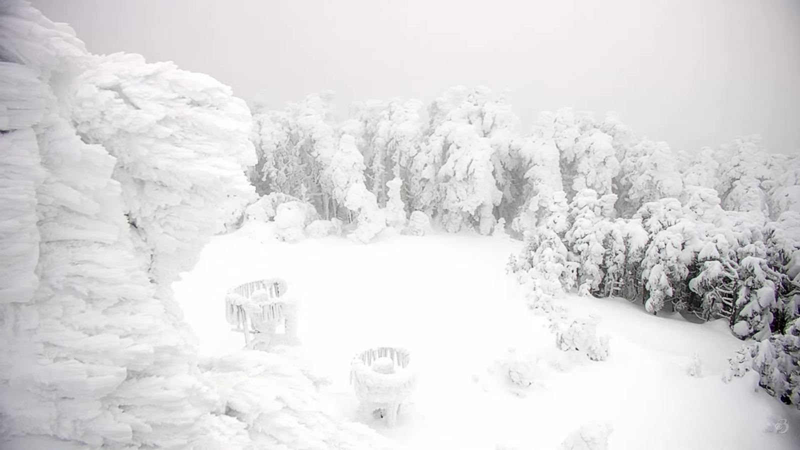
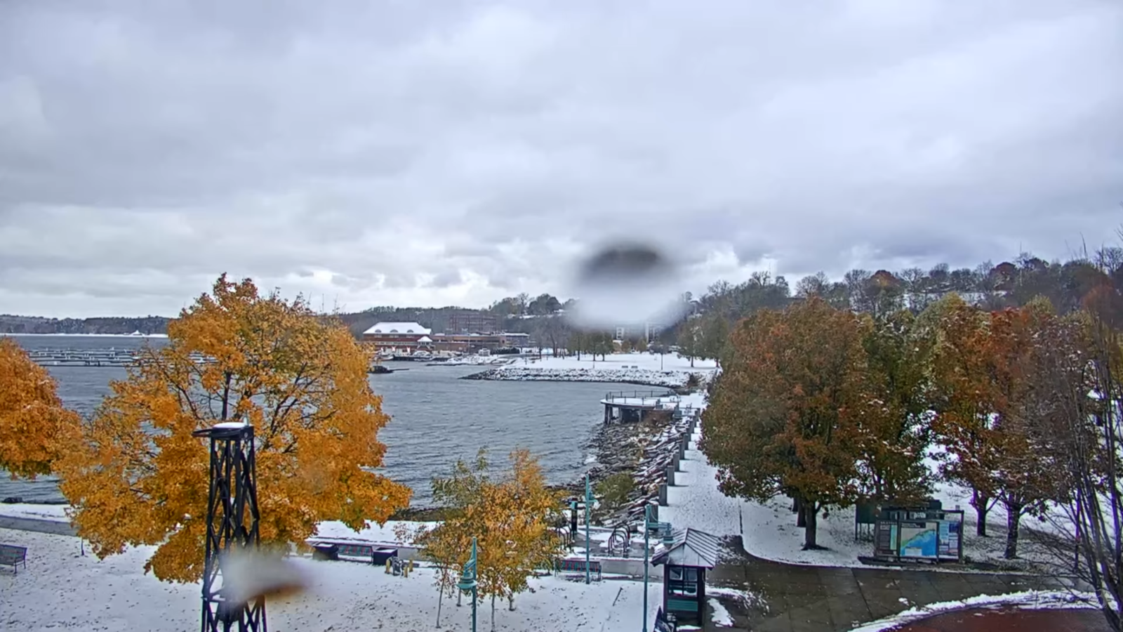
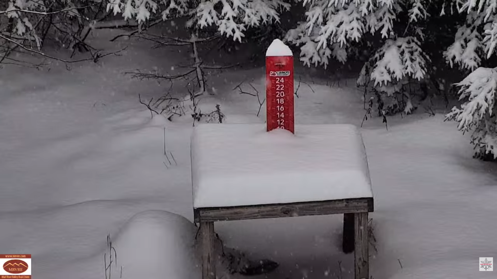
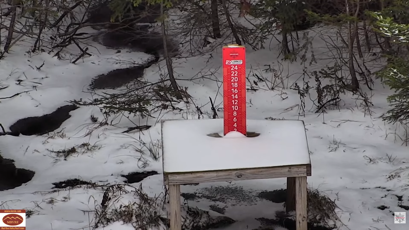
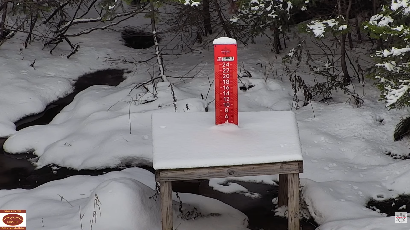
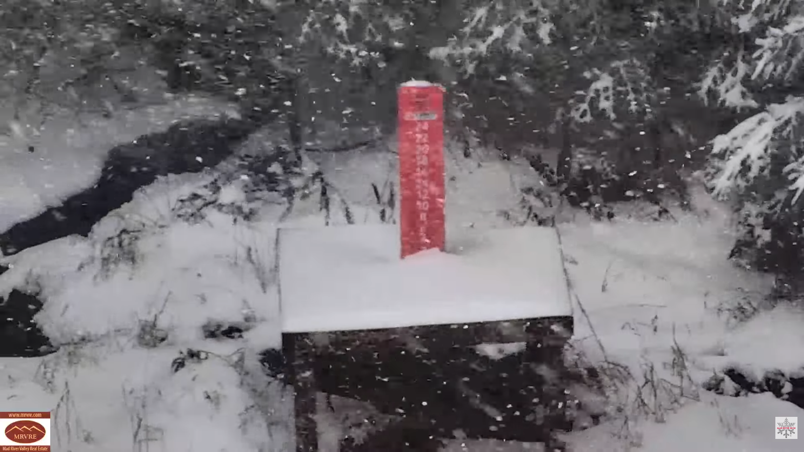
My Updated Thursday Night Forecast — December 4th, 2025

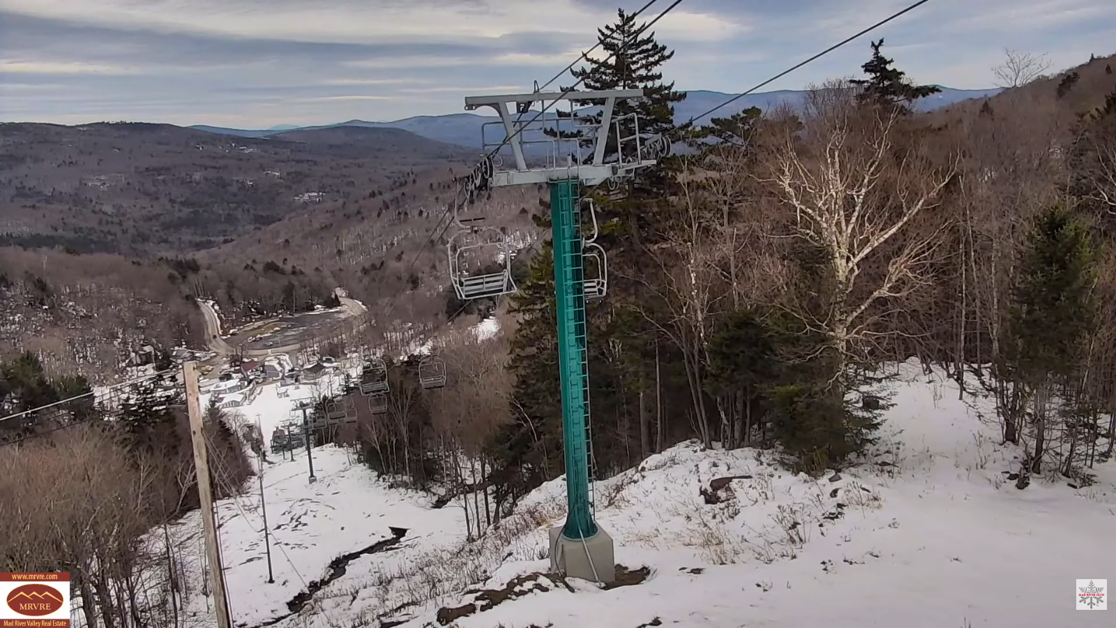
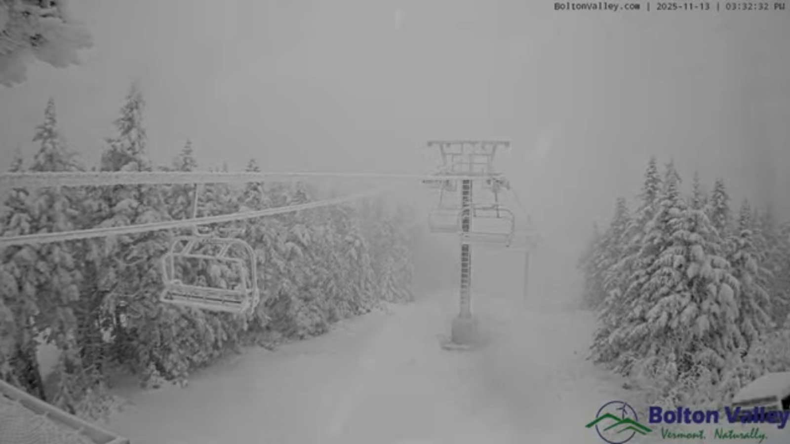
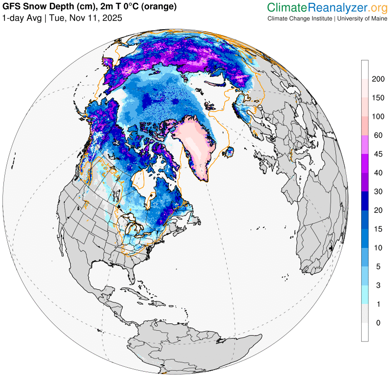
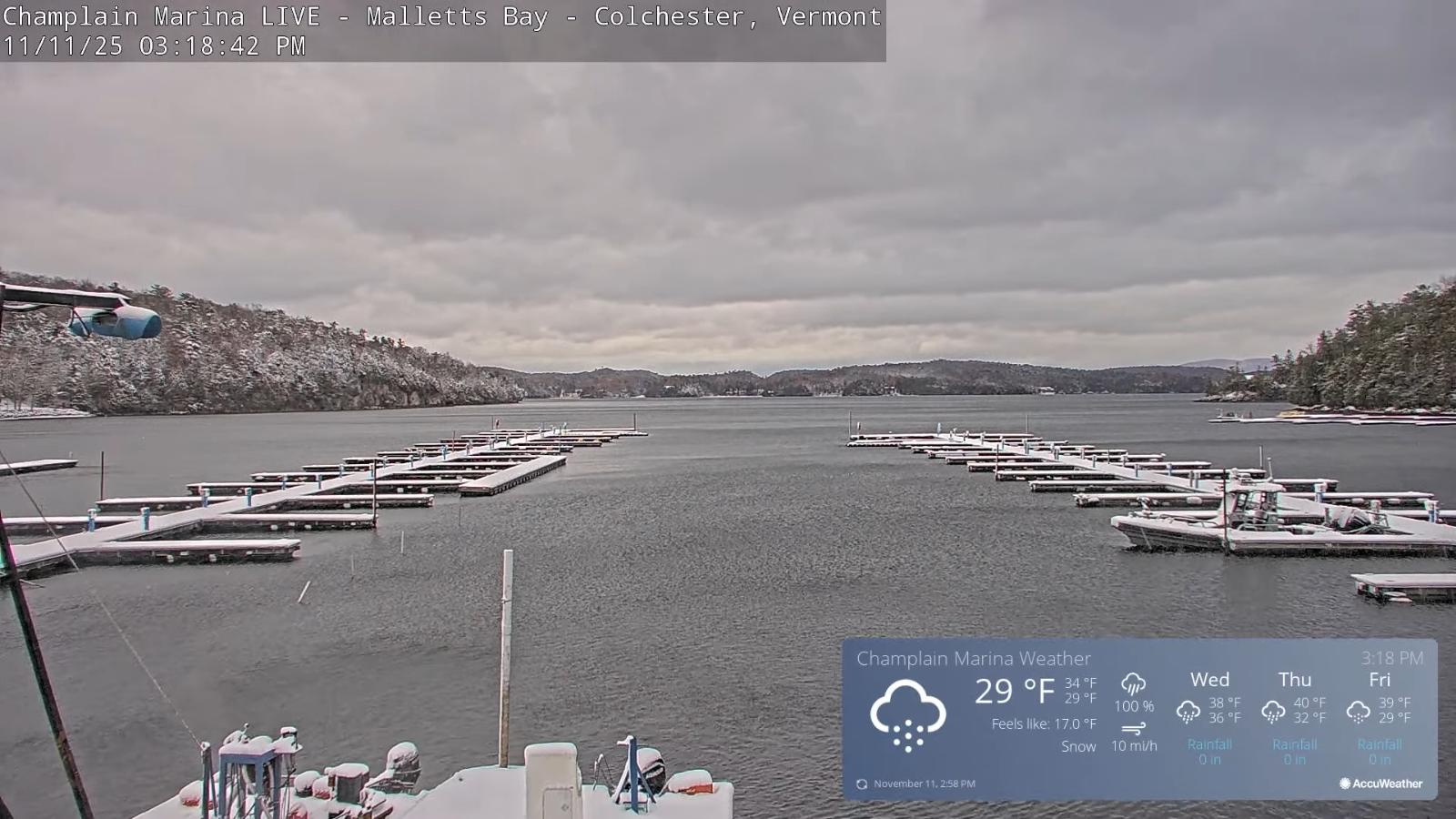
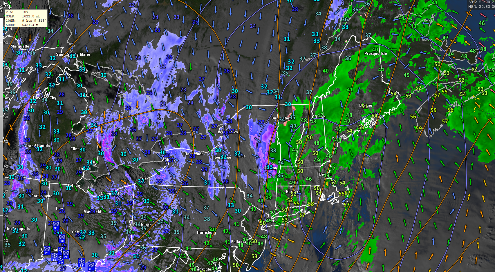
Roger Hill’s Radio Vermont Forecast 3:00 PM THURSDAY 12-4-25

Full Cold Moon Dec. 4th 6:14 PM EST

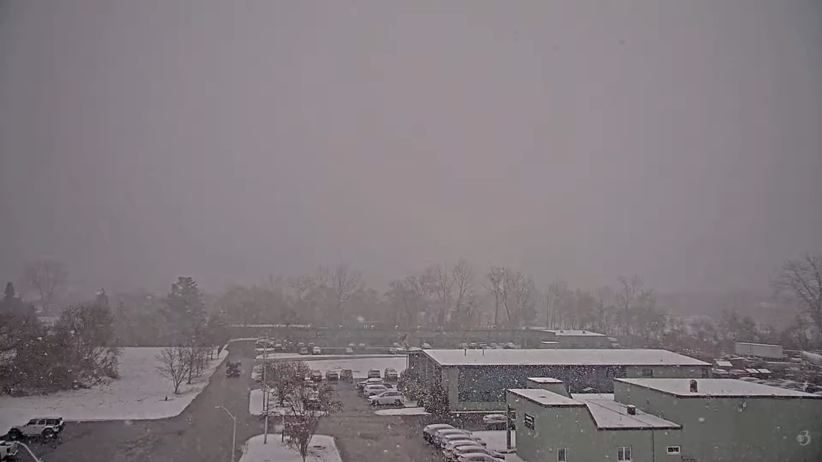
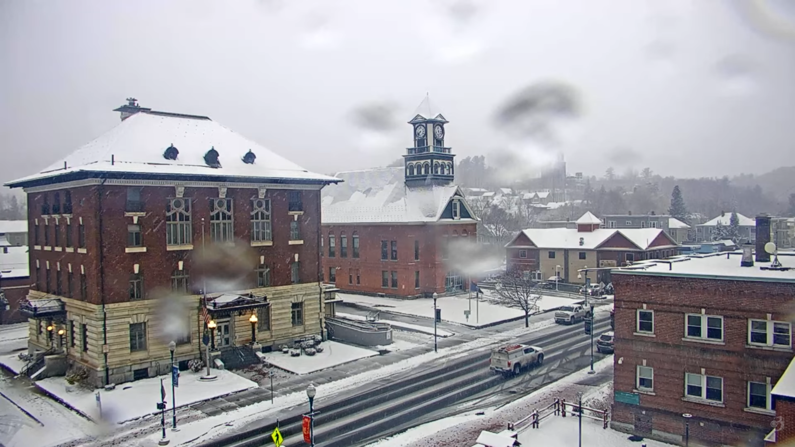
TONIGHT: Blustery and colder with a few stray mountain flurries early…clearing & fully moonlit otherwise.A low zero to ten below. Northwest winds 10 to 20 mph with lowered wind chills… diminishing overnight.

TOMORROW: A few morning clouds then mostly sunny. Cold. A high just the upper teens. Light south winds stronger near Lake Champlain.

FRIDAY NIGHT: Mostly clear. A low zero to 10 above. Light south to southeast winds stronger near the lake with lowered wind chills

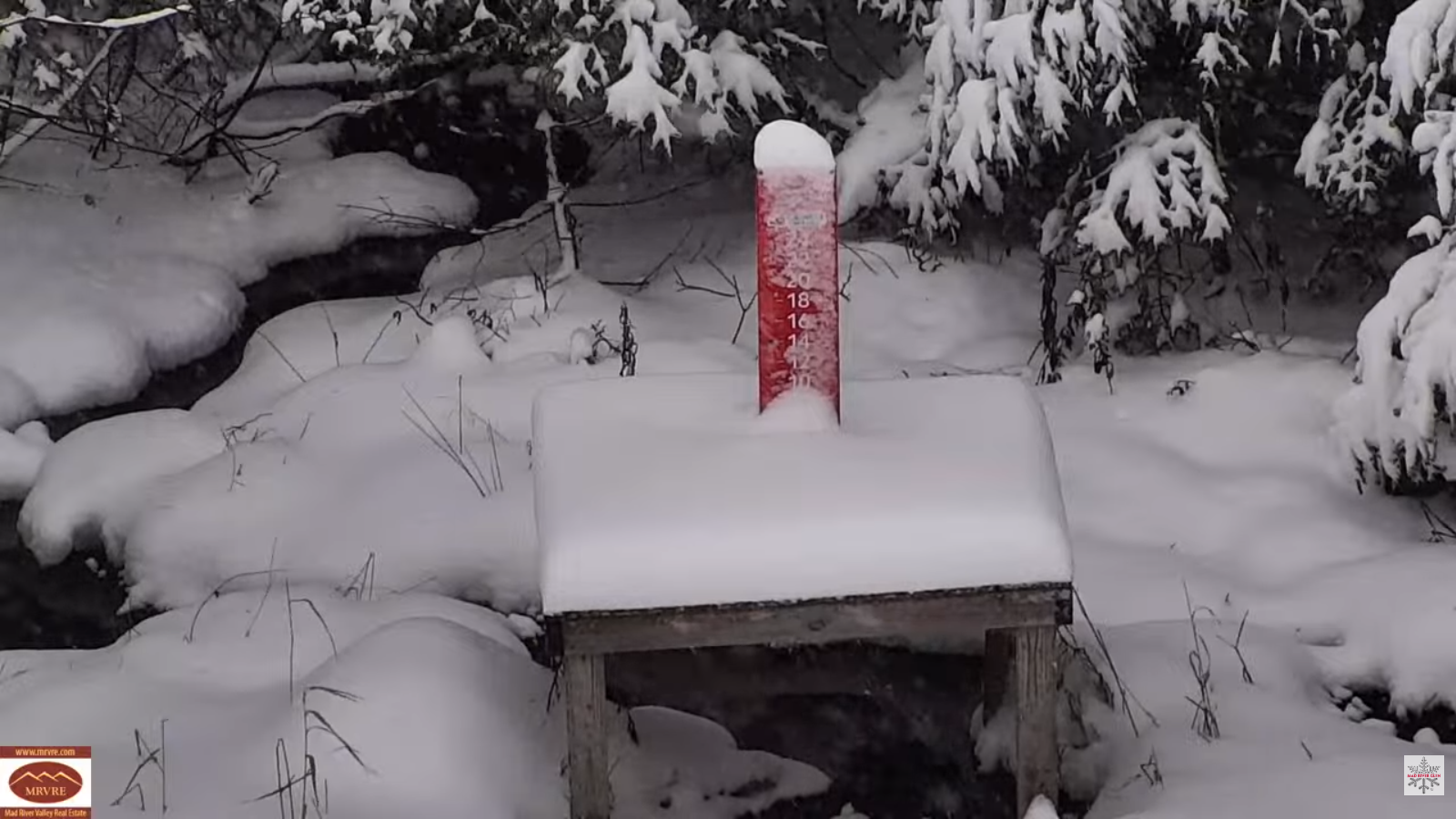
SATURDAY: Mostly cloudy & blustery. Chance for late afternoon flurries northern areas with light coatings. Highs pushing 30. South to southwest winds 10 to 15 mph.

Looking further ahead

SATURDAY NIGHT: Partly to mostly cloudy. A few stray flurries. A low 5 to 15 above.

SUNDAY: More clouds than sun. Chance for more snow showers developing late. Highs mid to upper teens.

MONDAY: Any morning flurries exit early to lots of sunshine. Lows ranging 5 below to 10 above. Highs just low to mid in the teens.

TUESDAY: Partly to mostly sunny. Continued frigid. Lows zero to ten below. Highs 15 to 20.

Average low: upper teens to mid-20s Average high: 35 to 40

Meteorological winter (coldest 90 days) begins December 12th

Winter Solstice 3:03 PM Saturday December 21st

RH/12-4-25/forecast][end] Fox Trot Delta Tango

My Updated Tuesday Night Forecast — December 2nd, 2025

Roger Hill’s Radio Vermont Forecast 3:00 PM TUESDAY 12-2-25

Winter Storm Warning Eastern Addison across the Orange County and south, Winter Weather Advisories mostly elsewhere thru 1 AM Wednesday…

TONIGHT: Occasional light snow/snow showers tapers off from west to east late evening on with light coatings. A low around 15. North winds shifts to northwesterly 10 mph overnight.

TOMORROW: Lots of clouds, then partial sunshine in the afternoon. Highs mid to upper 20s. Little wind.

WEDNESDAY NIGHT: Thickening clouds. Scattered snow showers and flurries returns northern areas with a light coating in spots. A low 20 to 25. South to southwest winds 10 mph stronger near Lake Champlain.

THURSDAY: Scattered snow showers/flurries. Some light coatings. Otherwise,intervals of sun in the afternoon. A bit blustery. A morning high mid-20s, then temperatures falling into the teens. Southwest winds 10 to 15 mph shifting to northwesterly.

Looking further ahead

Full Cold Moon Dec. 4th 6:14 PM EST

THURSDAY NIGHT: Partly cloudy. Maybe an early stray flurry drying up. Frigid. A low zero to ten below.

FRIDAY: Partly to mostly sunny with high cloudiness in the afternoon. Frigid. Highs upper teens.

SATURDAY: More clouds than sun. Slight chance for a flurry. Lows in the single digits. Highs pushing 30.

SUNDAY: Chance for light snow showers or flurries far northern Vermont, with little accumulation. Periods of afternoon sun. Lows teens. Highs 20 to 25.

Average low: upper teens to mid-20s Average high: 35 to 40.

Admin: Time off (no forecast) Wednesday December 3rd.

Meteorological winter begins December 12th

RH/12-2-25/forecast][end] Fox Trot Delta Tango

My Updated Monday Night Forecast — December 1st, 2025

Roger Hill’s Radio Vermont Forecast 3:00 PM MONDAY 12-1-25

TONIGHT: Mostly clear with high clouds this evening…clouding up with light snow around daybreak. A low 5 to 15 above. Little wind.

Winter Storm Warning Rutland to Orange County south, Winter Weather Advisories elsewhere tomorrow into early Wednesday…

TOMORROW: Gray. Periods of accumulating snow likely…moderate at time central and especially southern areas. Accumulation – 2 to locally 5” with 4 to 8” Rutland Windsor Orange counties south. A high mid to upper 20s. Light southeast winds.

TUESDAY NIGHT: Considerable cloudiness. Occasional light snow showers tapers off around midnight. Up to an inch eastern areas. A low mid to upper teens. Northeast winds 10 mph shifts to northwesterly overnight.

WEDNESDAY: Lots of clouds, then partial sunshine in the afternoon. Highs mid to upper 20s. Light winds.

Looking further ahead

WEDNESDAY NIGHT: Thickening clouds. Scattered snow showers and flurries returns northern areas with a light coating. A low about 25.

Full Cold Moon Dec. 4th 6:14 PM EST

THURSDAY: Clouds mixing with partial late day sun. Becoming rather blustery. Chance for a round of scattered snow showers/flurries. About a dusting to an inch. An early high 25 to 30, then temperatures falling thru the 20s & teens.

FRIDAY: Partly to mostly sunny. Frigid. A low ranging 5 below to 5 above. Highs in the teens.

SATURDAY: Becoming overcast. Rising chance for light accumulating snow or snow showers. Lows 5 to 15. Highs 25 to 30.

Average low: upper teens to mid-20s Average high: 35 to 40.

Admin: Time off (no forecast) Wednesday December 3rd.

Meteorological winter begins December 12th

RH/12-1-25/forecast][end] Fox Trot Delta Tango

My Updated Firday Night Forecast — November 28th, 2025

Roger Hill’s Radio Vermont Forecast 3:00 PM FRIDAY 11-28-25

TONIGHT: Occasional snow showers/flurries northern areas winding down. An inch or two northern Green Mountains. A low around 25. West to northwest winds 10 to 20 mph.

TOMORROW: Partly to mostly sunny but chilly. A high about 32. West to northwest winds 10 to 15 mph.

SATURDAY NIGHT: Fair early then clouding up.Chance for more snow showers toward daybreak. A low in the upper teens. Light winds.

SUNDAY: Gray. Light wet snow showers likely by mid-morning…mixing with rain in the valleys in the afternoon with a dusting to a couple inches mountains. A high in the mid-30s. Winds becoming southeasterly 10 to 20 mph.

Looking further ahead

SUNDAY NIGHT: Variable clouds. Scattered mixed rain and wet snow showers with light coating in spots. A low 25 to 30.

MONDAY: Morning clouds with any stray flurries dry up to bright afternoon sunshine. Colder. A high in the mid-20s.

TUESDAY: Thickening clouds. Chance for light accumulating snow of a couple to few inches possible. A low 5 to 15 above. Highs 25 to 30.

WEDNESDAY: Sunshine mixing with afternoon clouds. Lows 15 to 25. Highs 25 to 30.

Average low: low to mid 20s Average high: mid 30s to low 40s

Admin: Time off (no forecast) Wednesday December 3rd.

Full Cold Moon Dec. 4th 6:14 PM EST

Meteorological winter begins December 12th

RH/11-28/forecast][end] Fox Trot Delta Tango

My updated Tuesday Night Forecast — November 25th, 2025

Roger Hill’s Radio Vermont Forecast 3:00 PM TUESDAY 11-25-25

TONIGHT: Cloudy. Light rain showers arrive mid evening briefly moderate, then widely scattered overnight. A low mid to upper 30s – watch for icy spots Northeast Kingdom! Light southeast winds.

TOMORROW: Isolated to widely scattered light rain showers with a break or two of afternoon sun. Milder. A high near 50. Light south winds.

WEDNESDAY NIGHT: Round of showers, briefly moderate…tailing off to wet snow flakes higher terrain eastern Vermont. Blustery with partial clearing overnight. A low around 30 – watch for icy spots. Light south winds, shifting to westerly at 10 to 15 mph overnight.

THURSDAY THANKSGIVING DAY: Some morning sun & blustery, then thickening clouds. Slight chance for a late sprinkle/wet snow flake northern Champlain Valley. A high upper 30s/near 40. Southwest winds 10 to 20 mph and gusty.

Looking further ahead

THURSDAY NIGHT: Partly to mostly cloudy. Widely scattered mountain snow showers valley flurries mainly far northern areas. Lows in the upper 20s.

FRIDAY: Lots of clouds northern areas with intervals of sun elsewhere. Chance for light accumulating snow showers with a dusting to 2” most in the northern Greens. Colder…& blustery. Highs around 32.

SATURDAY: Clouds, a few intervals of sun but chilly. Lows 20 to 25. Highs about 30.

SUNDAY: Gray. Rising chance for rain/wet snow mix with some slushy accumulation elevated terrain. Morning lows teens. Highs in the 30s.

Average low: low to mid 20s Average high: mid 30s to low 40s

Admin: Time off (no forecast) for tomorrow Nov. 26th.

Full Cold Moon Dec. 4th 6:14 PM EST

Meteorological winter begins December 12th

RH/11-24/forecast][end] Fox Trot Delta Tango

My Updated Monday Night Forecast — November 24th, 2025

Roger Hill’s Radio Vermont Forecast 3:00 PM MONDAY 11-24-25

TONIGHT: Mostly clear early this evening, then clouding up. A low in the low to mid 20s. Light southwest winds, breezier near Lake Champlain.

TOMORROW: Lots of clouds but with a warming trend. A high 45 to 50. South to southwest winds 10 mph stronger near the lake.

TUESDAY NIGHT: Cloudy. Good chance for light rain or showers late evening on. A low in the upper 30s – watch for icy spots! Light southeast winds.

WEDNESDAY: Chance for morning showers…becoming widely scattered with a break or two of afternoon sun. Milder. A high pushing to around 50. Light south winds.

Looking further ahead

WEDNESDAY NIGHT: Chance for a round of showers…tailing off with a few wet snow flakes higher terrain. Blustery with partial clearing overnight. A low 32 to 35.

THURSDAY THANKSGIVING DAY: Some morning sun & blustery, then thickening clouds. Slight chance for a late sprinkle/wet snow flake northern Champlain Valley. A high near 40.

FRIDAY: Mainly gray. Chance for light accumulating snow or snow showers with light coatings. Lows around 25. Colder…Highs around 32.

SATURDAY: A few intervals of sun but chilly. Lows 20 to 25. Highs upper 20s/around 30.

Average low: low to mid 20s Average high: mid 30s to low 40s

Admin: Time off (no forecast) this Wednesday Nov. 27th.

Full Cold Moon Dec. 4th 6:14 PM EST

Meteorological winter begins December 12th

RH/11-24/forecast][end] Fox Trot Delta Tango

My Updated Friday Night Forecast — November 14th, 2025

Roger Hill’s Radio Vermont Forecast 3:00 PM FRIDAY 11-14-25

TONIGHT: Mostly cloudy. A stray flurry or two. A low 20 to 25. Light northwest winds.

TOMORROW: Partial sunshine then thickening clouds. A high low to mid 30s. Light winds.

Winter Weather Advisory 7 PM thru 7 AM Sunday morning…

SATURDAY NIGHT: Overcast.Freezing rain becoming likely in the evening with hazardous travel…mixing/changing to rain showers toward daybreak with rising temperatures. An evening low around 25 rising above freezing later overnight. Southeast winds 10 mph.

SUNDAY: Gray and dreary. Wet snow & rain showers changing to all snow in the afternoon, with a couple inches elevated terrain. Turning blustery late. A mid-day high 35 to 40, then colder. West to northwest winds picking up 10 to 20 mph.

Looking further ahead

SUNDAY NIGHT: Mainly gray. Blustery with good chance for light accumulating snow showers. Dusting to an inch. Lows around 25.

MONDAY: Cloudy. An occasional snow shower or flurry with a dusting to an inch. Blustery northwest winds. A high around 30.

TUESDAY: Clouds with breaks of sun away from the mountains. Chance for lingering snow showers or flurries northern areas. Lows around 25. Highs near 32.

WEDNESDAY: Morning clouds then mostly sunny. Lows in the mid-20s. Highs around 35.

Average low: mid 20s to low 30s Average high: mid to upper 40s

Admin: Time off (no forecast) next week November 17th thru 21st.

Meteorological winter begins December 12th

RH/11-14/forecast][end] Fox Trot Delta Tango

My updated Thursday Night Forecast — November 13th, 2025

Roger Hill’s Radio Vermont Forecast 3:00 PM THURSDAY 11-13-25

TONIGHT: Mostly cloudy. Widely scattered snow showers & flurries lingering near the mountains. Up to an inch northern Greens. A low in the mid to upper 20s. Light northwest winds.

TOMORROW: Clouds mixing with breaks of sunshine. A few flurries continue mainly western slopes. A high in the mid-30s. Northwest winds 10 mph.

FRIDAY NIGHT: Mostly cloudy. A stray flurry or two. A low upper teens around 20. Light northwest winds.

SATURDAY: Partial sunshine then thickening clouds. A high 32 to 35. Light west winds.

Looking further ahead

SATURDAY NIGHT: Overcast.Rising chance for a wintry mix with a period of slippery travel…mixing/changing to rain showers toward daybreak. Early lows 25 to 30.

SUNDAY: Gray and dreary. Chance for wet snow mixed with rain valley floors with a few inches accumulation in the mountains. Turning blustery late. Highs 35 to 40.

MONDAY: Cloudy. Scattered snow showers or flurries. Blustery northwest winds. Lows 20s. Highs around 30.

TUESDAY: Mostly cloudy. Chance for a few lingering snow showers. Lows upper 20s near 30. Highs in the 30s.

Average low: mid 20s to low 30s Average high: mid to upper 40s

Admin: Time off (no forecast) next week November 17th thru 21st.

Meteorological winter begins December 12th

RH/11-13/forecast][end] Fox Trot Delta Tango

My Updated Tuesday Night Forecast — November 11th, 2025

Roger Hill’s Radio Vermont Forecast 3:00 PM TUESDAY 11-11-25

TONIGHT: Lots of clouds. Scattered flurries with a light coating in spots winding down. More snow showers/flurries arrive around daybreak. A low in the mid-20s. West to southwest winds 10 to 15 mph.

TOMORROW:Lots of clouds. Scattered flurries with a light coating in the mountains. A high around 35. Southwest winds 10 mph, stronger near Lake Champlain.

WEDNESDAY NIGHT: Considerable cloudiness. Chance for wet snow showers mixed with rain valleys. Minor accumulation. A low in the lower 30s. Light south to southwest winds.

THURSDAY: Mainly gray. Chance for wet snow showers mixed with rain valleys. Minor accumulation. A high around 35. Light northwest winds.

Looking further ahead

THURSDAY NIGHT: Mostly cloudy. A few flurries lingering near the mountains. A low in the upper 20s.

FRIDAY: Clouds mixing with intervals of sunshine. A few flurries continue in the higher terrain. A high about 32.

SATURDAY: Partly sunny early then clouding up. Lows near 25. Highs in the low 30s.

SUNDAY: Gray and dreary. Chance for freezing rain with glazing…producing tricky travel thru mid-morning…changing to rain moderate at times in the afternoon. Early lows 20 to 25. Highs upper 30s.

Average low: mid 20s to low 30s Average high: mid 40s to upper 40s

Admin: No forecast Tomorrow Wednesday 12th of November

Admin: Time off (no forecast) next week November 17th thru 21st.

Meteorological winter begins December 12th

RH/11-11/forecast][end] Fox Trot Delta Tango

My Updated Monday Night Forecast — November 10th, 2025

Roger Hill’s Radio Vermont Forecast 3:00 PM MONDAY 11-10-25

Winter Weather Advisory portions of northwestern Vermont thru 7 AM Tomorrow Morning…

TONIGHT: Overcast.Rain showers…transitioning thru a wintry mix to accumulating snow, moderate for a time before tapering off overnight. Accumulation ranging about 1 to 5” with locally more Green Mountain summits.A low around 25.West to southwest winds 10 mph.

TOMORROW: Scattered snow showers redeveloping late morning on. Dusting to an inch. A high upper 20s to low 30s. Southwest winds 10 to 15 mph.

TUESDAY NIGHT: Lots of clouds. Scattered mountain flurries with a light coating in spots. A low in the mid-20s. Light west to southwest winds.

WEDNESDAY: Clouds with a few breaks of sun. Maybe a mountain flurry or two in the morning. A high mid to upper 30s. Light southwest winds stronger near Lake Champlain.

Looking further ahead

WEDNESDAY NIGHT: Mostly cloudy. Chance for a rain or snow shower. Little to no accumulation. A low mid to upper 20s.

THURSDAY: Partly to mostly cloudy. Chance for a mountain flurry. Little accumulation. A high mid to upper 30s.

FRIDAY: Mixed clouds and sun. Slight chance for a flurry. A low in the upper 20s. A high 32 to 35.

SATURDAY: Partly sunny with more clouds late. Lows 20 to 25. Highs around 35.

Average low: mid 20s to low 30s Average high: mid 40s to upper 40s

Admin: No forecast this Wednesday 12th of November

Admin: Time off (no forecast) next week November 17th thru 21st.

Meteorological winter begins December 12th

RH/11-6/forecast][end] Fox Trot Delta Tango