Updated Friday Evening Forecast — January 10th, 2025

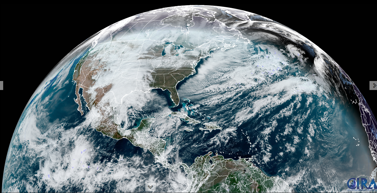
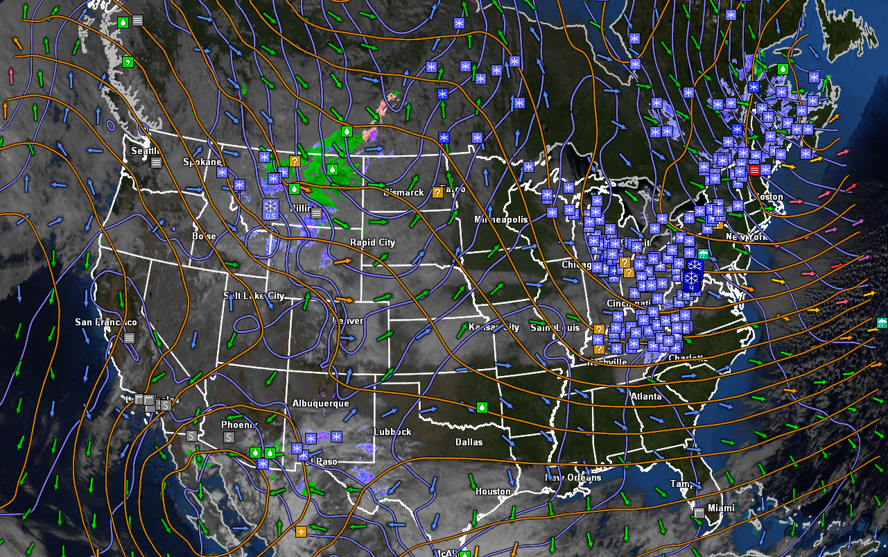
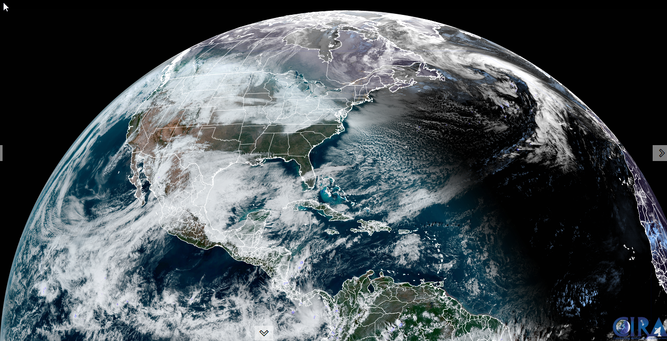
Roger Hill’s Radio Vermont Forecast 3:00 PM Friday 1-10-25

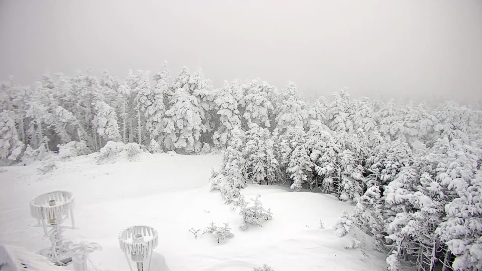
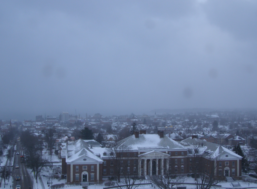
TONIGHT: Thickening clouds…leading to light accumulating snow or flurries. A light coating late. A low ranging 5 to 15. Little wind.

TOMORROW: Gray. Periods of light snow or flurries winding down late. Accumulations of about 1 to 2”. A high lower 20s. Light southeast winds.

SATURDAY NIGHT: A lingering flurry northern areas with little accumulation, then becoming partly to mostly clear late. A low near 15. Light northwest winds.

SUNDAY: Morning clouds then partly mostly sunny in the afternoon. A high about 25. Light northwest winds.

Looking further ahead

SUNDAY NIGHT: Becoming mostly cloudy. Chance for northern flurries limited accumulation. A low 10 to 15

Full Wolf Moon Monday at 5:27 PM

MONDAY: Increasingly cloudy. Slight chance for additional flurries northern Vermont. Warmer with a high around 32 degrees.

TUESDAY: Clouds with intervals of sun. Chance for flurries northern areas. A low near 15. A high near 25.

WEDNESDAY: Maybe a break of sun otherwise lots of clouds. Scattered accumulating snow showers or flurries. Dusting to an inch or two especially northern areas. Lows around 15, a high near 20.

Average low ranging thru the single digits. Average high mid-20s to near 30.

Peak Meteorological Winter 1-23-25

RH/1-10-25forecast][end]

Updated Thursday Night Forecast — January 9th, 2025

Roger Hill’s Radio Vermont Forecast 3:00 PM Thursday 1-9-25

TONIGHT: Considerable clouds. Scattered flurries with a dusting. Temperatures in the mid-teens. Northwest winds 10 mph.

TOMORROW: A few northern mountain flurries, otherwise clouds mixing with intervals of sun eastern and southern areas. A high in the low 20s. Northwest winds 10 mph.

FRIDAY NIGHT: Thickening clouds…leading to a rising chance for flurries late. A light coating late. A low mid-teens. Little wind.

SATURDAY: Gray. Chance for light spotty accumulating snow or flurries. Dusting to an inch. A high lower 20s. Light southeast winds.

Looking further ahead

SATURDAY NIGHT: A lingering flurry northern areas, then becoming partly to mostly late. A low near 15.

SUNDAY: Clouds, with periods of afternoon sun. A high near 25. (to feel like a mild day)

Full Wolf Moon Monday at 5:27 PM

MONDAY: Mostly cloudy. Scattered northern flurries early. A low 5 to 15. Near seasonable highs pushing 30 degrees.

TUESDAY: Mainly gray. Chance for flurries northern areas. A low 15 to 20. A high around 25.

Average low ranging thru the single digits. Average high mid-20s to near 30.

Peak Meteorological Winter 1-23-25

RH/1-8-25forecast][end]

Updated Wednesday Night Forecast — 1-8-25

TONIGHT: Overcast. Scattered lingering snow showers or flurries especially northern areas. Dusting to a couple fluffy inches northern mountains. Little change in temperature.A low around 5 above. Northwest winds 10 to 15 mph.

TOMORROW: Mainly gray. Scattered lingering snow showers or flurries mainly northern areas. Dusting to an inch. Not as cold. A high 15 to 20. Northwest winds 10 to 20 mph.

THURSDAY NIGHT: Considerable clouds. Scattered flurries with minor accumulations. A low mid-teens. Northwest winds 10 to 15 mph.

FRIDAY: A stray northern flurry, Otherwise clouds with intervals of sun eastern and southern areas. A high around 20. Northwest winds 10 mph.

Looking further ahead

FRIDAY NIGHT: Thickening clouds…leading to a rising chance for light snow showers/flurries late overnight. A low 10 to 15.

SATURDAY: Gray. Chance for light spotty accumulating snow or flurries. A high lower 20s.

SUNDAY: Maybe an early flurry, otherwise clouds mixing with sunny intervals. A low 10 to 15. A high around 25. (to feel like a mild day)

Full Wolf Moon Monday at 5:27 PM

MONDAY: Scattered northern flurries early. Otherwise clouds mixing with a few breaks of sun. A low around 10. A high in the mid-20s.

Average low ranging thru the single digits. Average high mid-20s to near 30.

Peak Meteorological Winter 1-23-25

RH/1-8-25forecast][end]

Cold northwesterly flow steered around Maritime low pressure without much change over the next 54 hours or so. Most of it NW. Vermont upsloping locations where Winter Winter Advisory continues. Not much change ahead. Weather pattern “Locked In”

Roger Hill’s Radio Vermont Forecast 3:00 PM Tuesday 1-6-25

Winter Weather Advisory continues thru late Wednesday eastern Chittenden, Lamoille, and Franklin Counties.

TONIGHT: Cloudy. Occasional light accumulating snow showers or flurries. Dusting to an inch northern Greens. A low 5 to 10. Northwest winds 10 to 15 mph lowering wind chills.

TOMORROW: Gray. Scattered lingering snow showers or flurries, mainly northern mountains. Dusting to an inch northern Greens. Well below normal in temperature. A high just upper single digits. Northwest winds 10 to 20 mph lowering wind chills.

WEDNESDAY NIGHT: Overcast. Scattered lingering snow showers or flurries especially northern areas. Minor accumulation. Little change in temperature.A low around 5 above. Northwest winds 10 to 15 mph.

THURSDAY: Lots of clouds. Scattered lingering snow showers or flurries especially northern areas. Dusting to an inch northern Greens. Not as cold. A high in the mid to upper teens. Northwest winds 10 to 20 mph.

Looking further ahead

THURSDAY NIGHT: Mostly cloudy. A few flurries near the mountains. A low 10 to 15.

FRIDAY: Maybe a stray morning flurry, then breaks of sunshine. A high about 20.

SATURDAY: Predominantly gray. Chance for light spotty accumulating snow or flurries developing. Minor accumulation. A low around 10. A high 20 to 25.

SUNDAY: Maybe an early flurry, otherwise lingering clouds. A low 10 to 15. A high near 25. (to feel like a mild day)

Average low ranging thru the single digits. Average high mid-20s to near 30.

Full Wolf Moon Monday 1-13-25 at 5:27 PM

Peak Meteorological Winter 1-23-25

RH/1-7-25forecast][end]

Some intervals of sun a bonus today, but we are back to more clouds as depicted below right above Vermont. A more substantial weather system tracks by to our south, with no affects…

Roger Hill’s Radio Vermont forecast 3:00 PM Monday 1-6-25

Winter Weather Advisory overnight thru late Wednesday northern Green Mountains

TONIGHT: Scattered clouds this evening then clouding up. Rising chance for light snow showers or flurries developing far northern areas with light coatings.Frigid.An evening low around zero to 5 above. Northwest winds 10 mph lowering wind chills.

TOMORROW: Considerable cloudiness. Occasional light accumulating snow showers or flurries especially northern areas. Dusting to an inch or two northern Greens. A high around 15. Northwest winds 10 to 20 mph lowering wind chills.

TUESDAY NIGHT: Cloudy. Occasional light accumulating snow showers or flurries. Dusting to an inch or two northern Greens. Frigid. A low around 5 above. Northwest winds 10 to 15 mph lowering wind chills.

WEDNESDAY: Predominantly gray. Scattered lingering snow showers or flurries, mainly northern mountains. Dusting to an inch northern Greens. Well below normal in temperature. A high just 5 to 10 above. Northwest winds 10 to 20 mph lowering wind chills.

Looking further ahead

WEDNESDAY NIGHT: Overcast. Scattered lingering snow showers or flurries especially northern areas. Minor accumulation. A low around 5 above.

THURSDAY: Mostly cloudy. Scattered lingering snow showers or flurries, especially northern areas. Minor accumulation. Not as cold. Slight warming trend. A high 15 to 20.

FRIDAY: Maybe a stray morning flurry with a dusting, then intervals of sunshine. A low 10 to 15. A high near 20.

Average low ranging thru the single digits. Average high mid-20s to near 30.

Full Wolf Moon Monday 1-13-25 at 5:27 PM

Peak Meteorological Winter 1-23-25

RH/1-6-25forecast][end]

What do you notice right off…its not that it’s regional but fairly widespread, Midwest, into the Northeast seeing the most. But, there are no cold records. This is not being picked up much by the Mainstream Media, or otherwise, and some are frankly “omitting” this information. This is when politics and science collide – and it appears that an overheating planet – is now POLITICALLY CORRECT much like the state of Florida and their “Sunny day Flooding” due to sea level rise.

Note to all — Weather has now become so jointed with extreme right-wing politics, I fear data loss/omission is just starting. What next with MAGA NOAA – no “Heat Warnings/Advisories, omission of high-temperature records, and on and on due to the “political chill” of source GHG’s.
What have we become? How does this serve 99% of us? We are not even ready for the 20th of January yet. Politics at the federal level – is what I’ve experienced in my 50 plus years in meteorology 3 US Army, 12 NWS, but only much more subtly. Now it’s wide open, bought and paid for by oligarchy.

A small strip of clearing in the otherwise gray & sometimes snowy northwesterly flow will close up tonight with more snow showers/flurries. The flurry machine won’t turn off any time soon. Next best day with intervals of sun comes Sunday. Unsettled weather but with a locked in weather pattern continues into much of next week

Roger Hill’s Radio Vermont forecast 3:00 PM Friday 1-3-25

TONIGHT: Becoming mostly cloudy.Occasional flurries developing northern areas toward midnight with a skiff of accumulation. A low in the low teens. West to northwest winds 10 mph.

TOMORROW: Mainly gray. Scattered mountain snow showers and flurries. Less than an inch. A high near 15. Northwest winds 10 to 15 mph.

SATURDAY NIGHT: Lots of clouds.Scattered snow showers or flurries.Dusting to an inch. A low 5 to 10 above. Light northwest winds.

SUNDAY: Mountain cloudiness with intervals of sun. Lingering mountain flurries with little accumulation. A high near 15. Northwest winds 10 to 15 mph.

Looking further ahead

SUNDAY NIGHT: Partly to mostly cloudy.Maybe a stray flurry or two. A low around zero degrees.

MONDAY: Partly to mostly cloudy. Maybe a stray flurry. A high in the lower teens.

TUESDAY: Mainly gray. Scattered snow showers or flurries with light accumulation. A low 5 to 10. A high mid-teens.

WERDNESDAY: Lots of clouds. Scattered light snow showers or flurries, less than an inch accumulation. A low upper single digits. A high around 15.         

Average low 5 to 15. Average high mid-20s to about 30.

RH/1-2-25forecast][end]