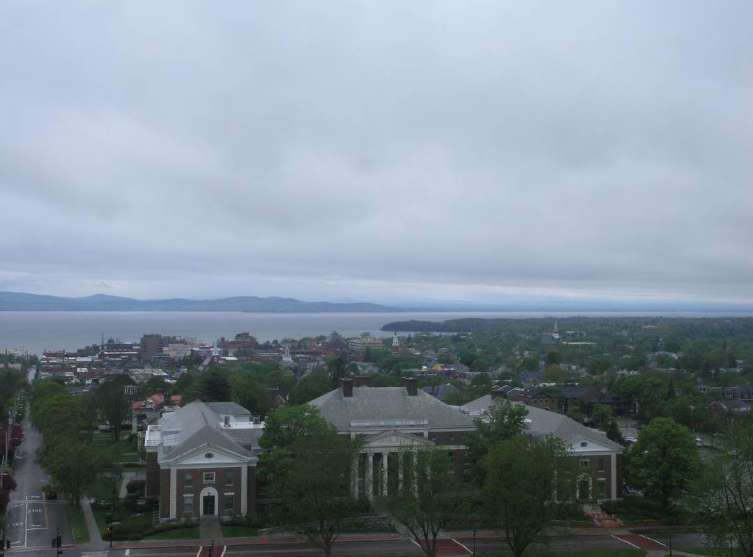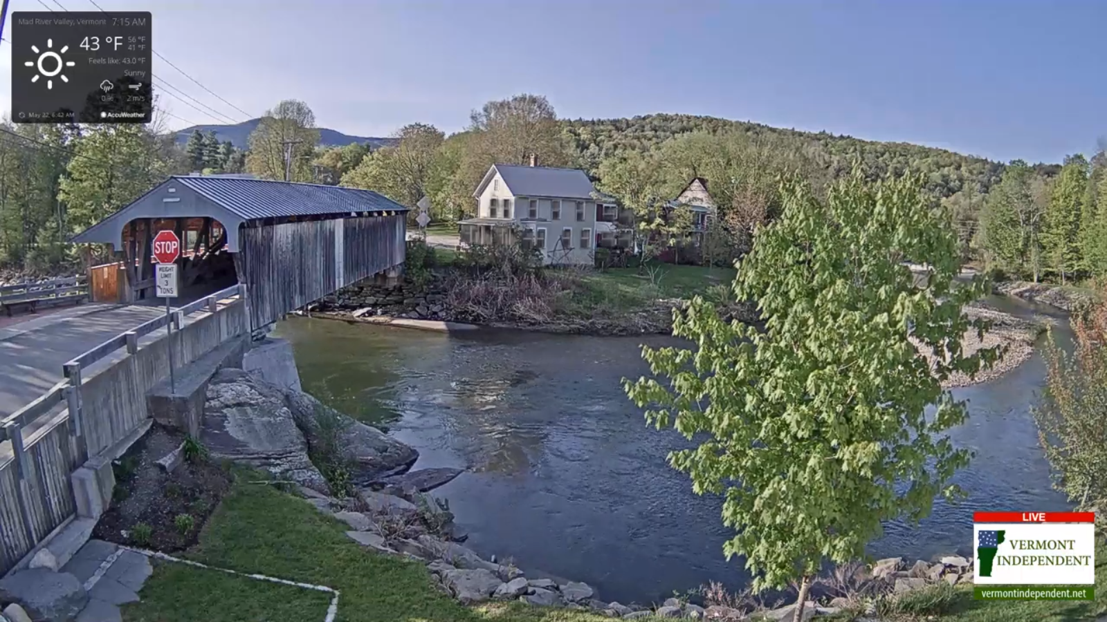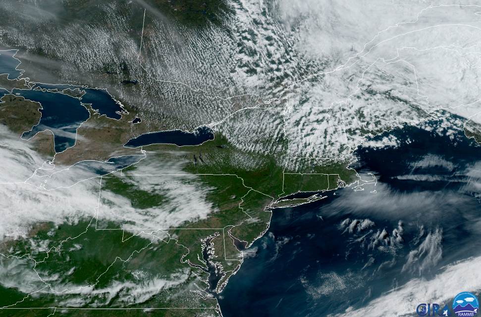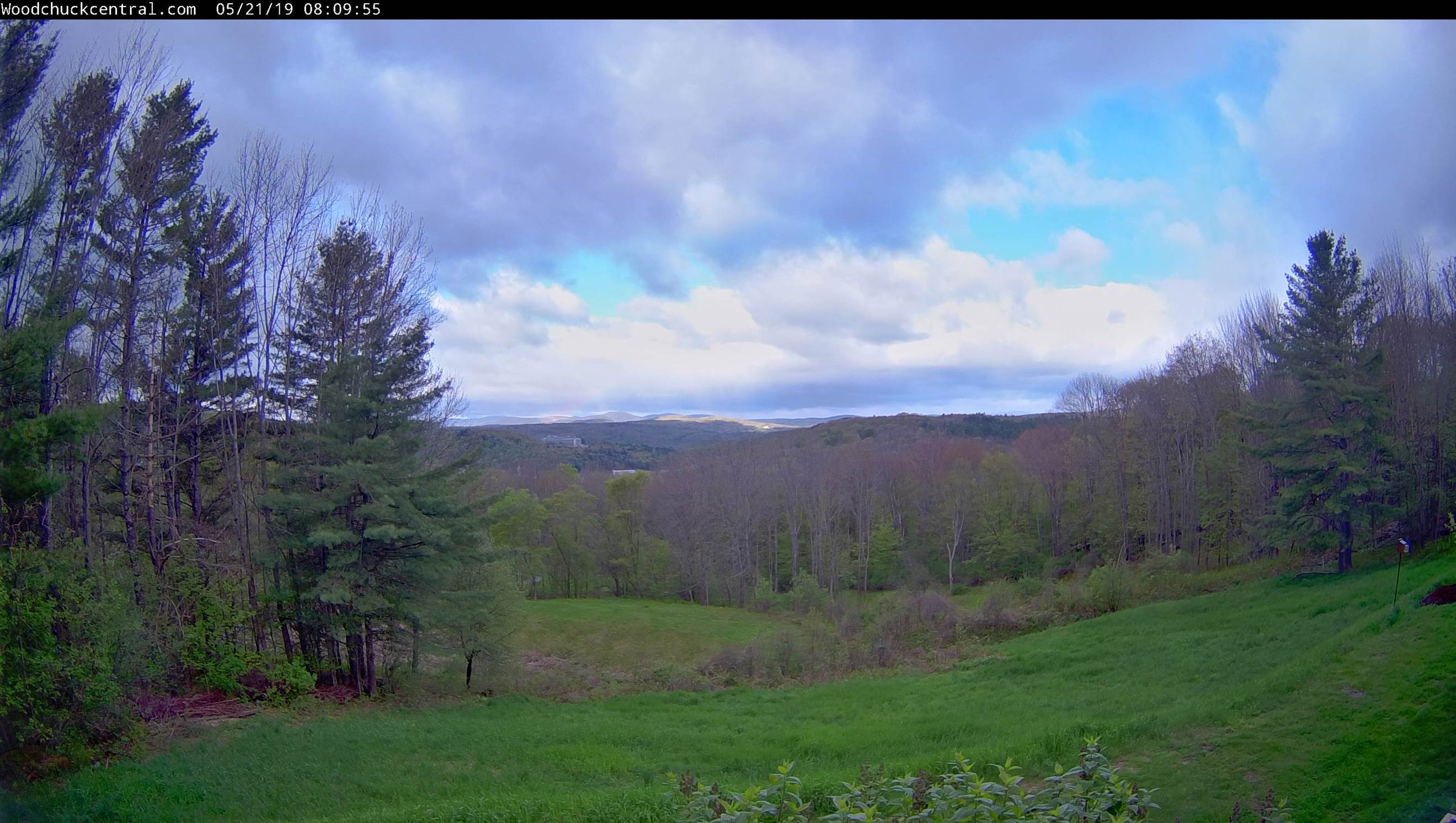
TODAY: Gray skies with showers developing this morning. Rather chilly A high in the low to mid 50s. Light southeast breeze.
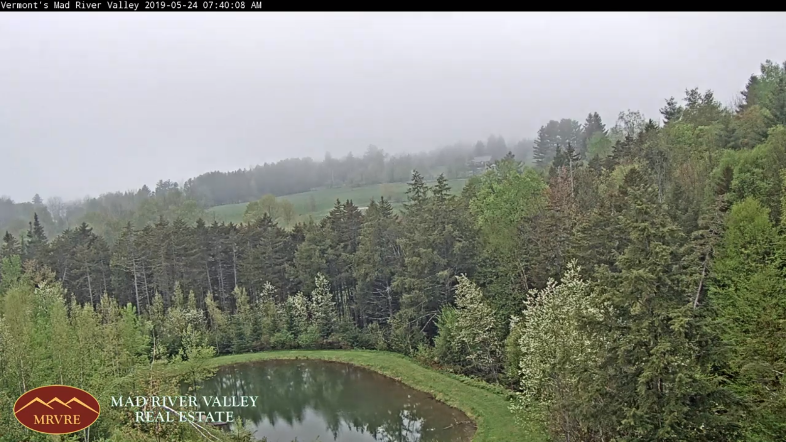
TONIGHT: Cloudy. Evening showers drying up overnight. Patchy valley fog. A low 40 to 45. Light east winds.
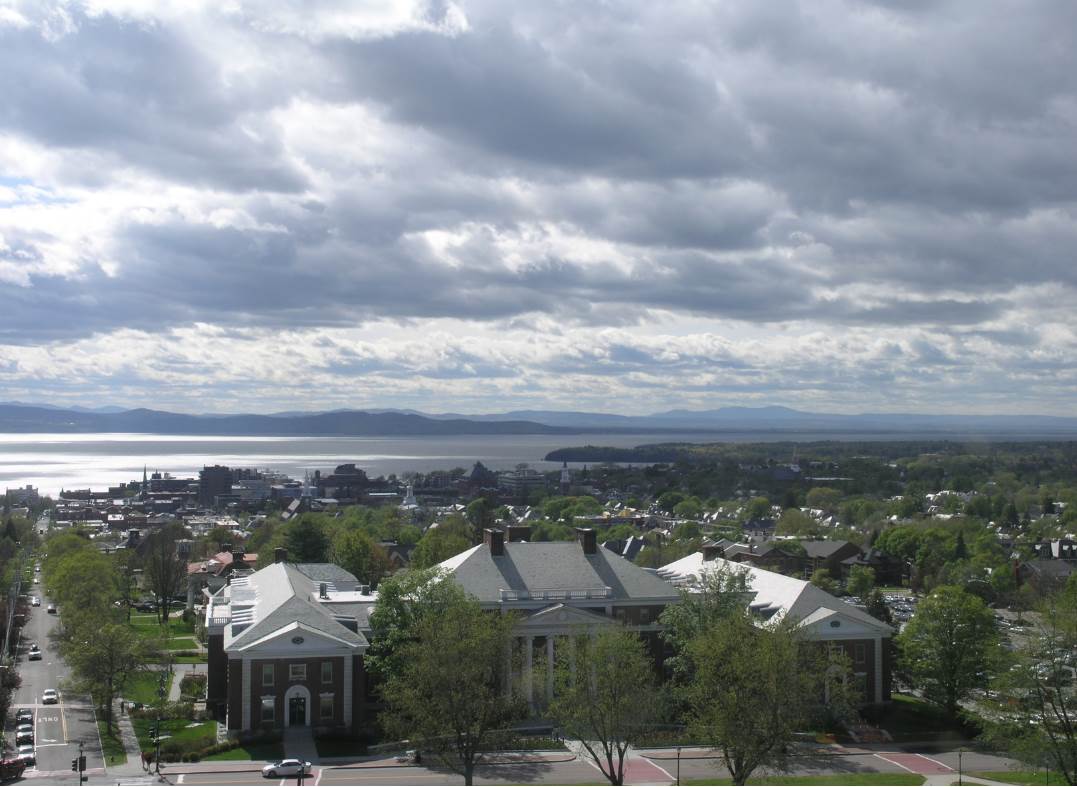
WEDNESDAY: Mostly cloudy. Slight chance for late day sprinkle southern areas. A high upper 50s to mid 60s. Light northeast winds.
Looking further ahead…
WEDNESDAY NIGHT: Lots of clouds with areas of fog. Scattered light showers after midnight. A low 45 to 50.
THURSDAY: Considerable cloudiness. Maybe a sprinkle Northeast Kingdom. A high mid 60s to near 70. Rising chance for showers toward evening.
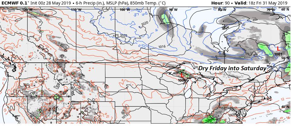
FRIDAY: Scattered morning showers and patchy fog exits. Partly to mostly sunny conditions develop. A low mid to upper 40s. A high around 60.
SATURDAY: Morning sun, then afternoon clouds but dry. A low in the upper 30s to mid 40s. A high upper 50s to low 60s.
SUNDAY: Mostly cloudy. Chance for a shower in the afternoon. A low 40 to 45. A high low to mid 60s.
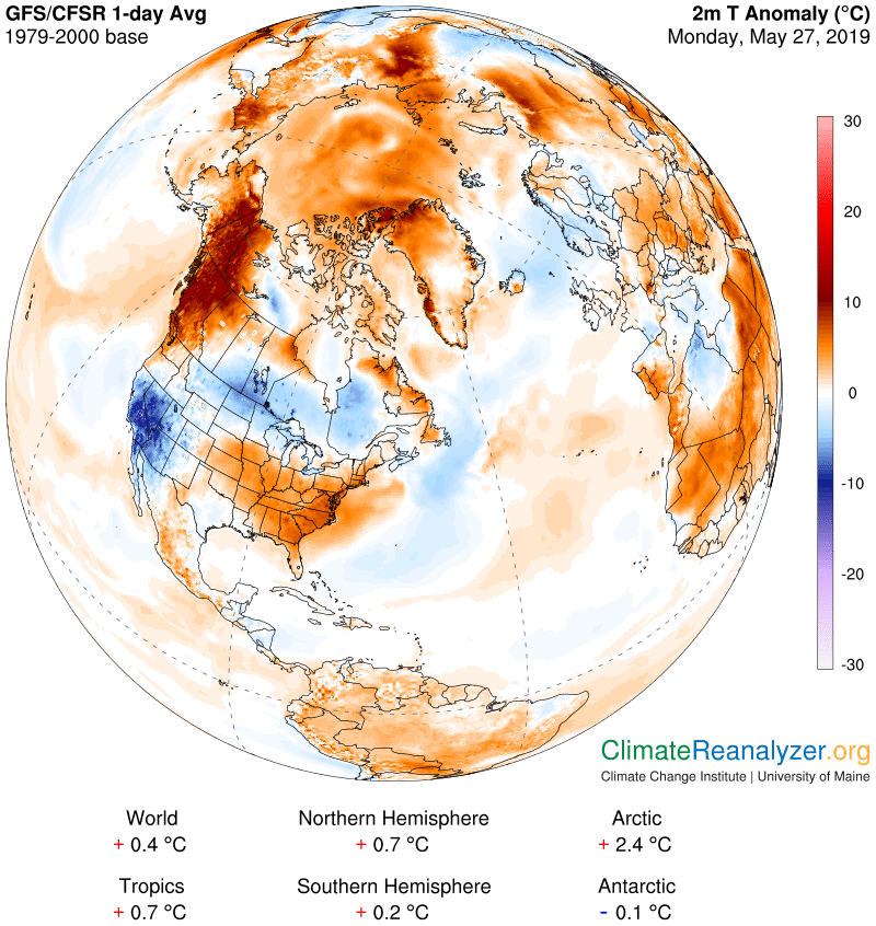
Average lows mid 40s to around 50. Average highs 70 to 75.
RH/5-28-19[end]