My Updated Thursday Night Forecast — April 10th, 2025

Roger Hill’s Radio Vermont Forecast 3:00 PM Thursday 4-10-25

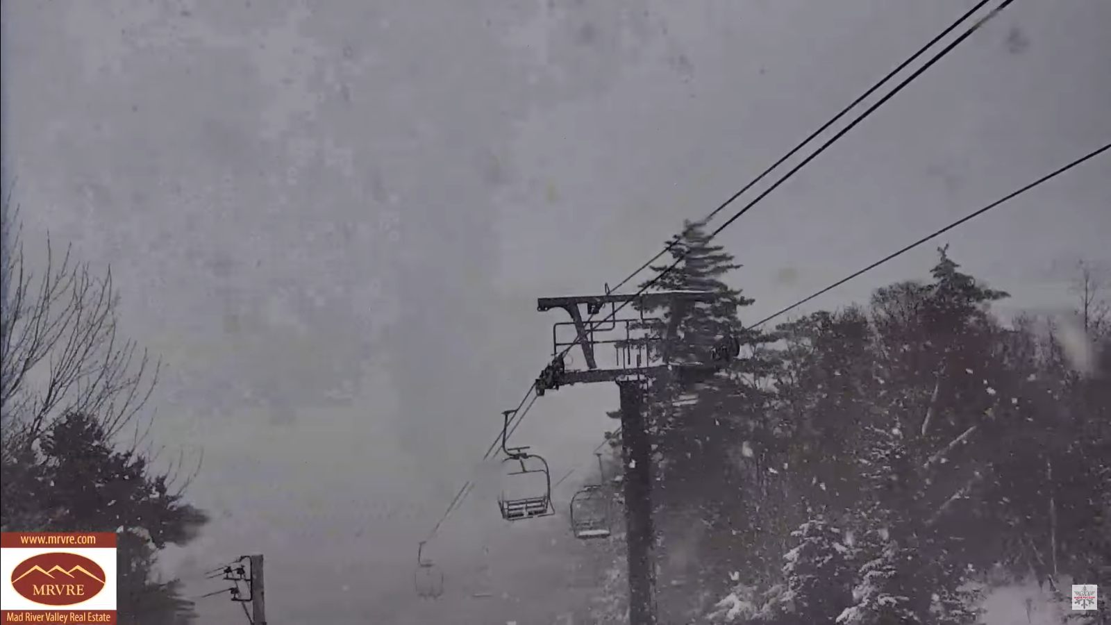
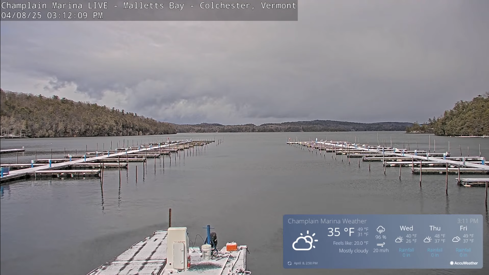
TONIGHT: Cloudy. A period of flurries mixed with rain drops lower valleys overnight with a dusting. A low 32 to 35. Light southeasterly winds.

TOMORROW: Mainly cloudy. A high in the mid to upper 40s. Southeast breeze 10 mph stronger near the lake.

FRIDAY NIGHT: Variably cloudy north, overcast south, with a rising chance for light snow showers late southern areas. A low in the low 30s. Light southeast winds.

SATURDAY: Light snow showers southern and eastern areas with a dusting in spots. Otherwise mainly gray with a few rain showers. A high around 45. Light east winds.

Looking further ahead

SATURDAY NIGHT: Becoming partly cloudy. A low 30 to 32

SUNDAY: Clouds with intervals of sunshine. Seasonal in temperature. A high around 55.

MONDAY: Filtered sun. A low around 32. Milder with a high upper 50s near 60.

TUESDAY: Overcast. Chance for rain or rain showers…mixed with wet snow flake high terrain late. Lows upper 30s to mid-40s Highs near 55.

Average low: range mid-20s to low 30s. Average highs: 50 to 55.

RH/4-9[forecast][end]

My Wednesday Night Forecast — April 9th, 2025

Roger Hill’s Radio Vermont Forecast 3:00 PM Wednesday 4-9-25

TONIGHT: Clear and cold. A low ranging in the teens. Light winds.

TOMORROW: Morning sunshine then increasing clouds. A high around 45. Light southwest winds.

THURSDAY NIGHT:Cloudy. A period of flurries mixed with rain lower valleys. A low 32 to 35. Light southeasterly winds.

FRIDAY: Mainly cloudy. A morning flurry or two southern areas. A high upper 40s. Southeast breeze 10 mph stronger near the lake.

Looking further ahead

FRIDAY NIGHT: Variably cloudy north, overcast south, with a rising chance for light snow showers late southern areas. A low 32 to 35.

SATURDAY: Good chance for accumulating wet snow southern areas early, changing to sprinkles. A light coating especially southern areas early. Otherwise mainly gray. A high in the 40s.

SUNDAY: Cloudiness gives way to afternoon sunshine. A low upper 20s. A high in the low 50s.

MONDAY: Partly sunny. A low around 32. Milder with a high 55 to 60.

Average low: range mid-20s to low 30s. Average highs: 50 to 55.

RH/4-9[forecast][end]

My Updated Tuesday Night Forecast — April 8th, 2025

Roger Hill’s Radio Vermont Forecast 3:00 PM Tuesday 4-8-25

TONIGHT: Lots of clouds. Occasional snow showers exiting as few stray flurries overnight. Less than an inch. A low upper teens. Northwest winds 10 to 20 mph.

TOMORROW: Clouds with occasional breaks of sun. A high 32 to 35. West to northwest winds 10 mph.

WEDNESDAY NIGHT: Mostly clear and cold. A low 15 to 20. Light southwest winds.

THURSDAY: Some morning sunshine then mostly cloudy. A high near 45. Light southwest winds.

Looking further ahead

THURSDAY NIGHT:Cloudy. Chance for flurries. A low 32 to 35.

FRIDAY: Mainly cloudy. A morning flurry or two. A high in the low 50s.

SATURDAY: Cloudy. Chance for accumulating wet snow, mixed with rain in the afternoon. 1 to locally 3” accumulation in the mountains in the morning. A low 32 to 35. A high near 40.

SUNDAY: Clouds give way to partial late day sunshine. A low around 32. A high 50 to 55.

Average low: range mid-20s to low 30s. Average highs: 50 to 55.

RH/4-8[forecast][end]

My Updated Monday Night Forecast — April 7th, 2025

Roger Hill’s Radio Vermont Forecast 3:00 PM Monday 4-7-25

TONIGHT: Cloudy. Periods of light snow developing later overnight. A light coating by morning. A low around 30. Light southeast winds.

TOMORROW: Considerable cloudiness. Periods of light accumulating snow moderate for a time mid-morning, Snow showers becoming widely scattered in the afternoon. Accumulation an inch to 2” most Northeast Kingdom. Chilly with a high 32 to 35. Winds becoming westerly 10 to 15 mph.

TUESDAY NIGHT: Mainly cloudy. Scattered snow showers exiting as few stray flurries overnight. Less than an inch. A low around 20. Northwest winds 10 to 20 mph.

WEDNESDAY: Clouds with a break or two of sun. A high about 35. West to northwest winds 10 mph.

Looking further ahead

WEDNESDAY NIGHT: Mostly clear. A low upper teens.

THURSDAY: Gray. Chance for a late day flurry or sprinkle. A high 40 to 45.

FRIDAY: Overcast. A morning flurry or two. A low near 32. A high in the low 50s.

SATURDAY: Gray. Chance for accumulating wet snow, mixing with rain late morning on. A low around 32. A high upper 30s near 40.

Average low: range mid-20s to low 30s. Average highs: 50 to 55.

RH/4-7[forecast][end]

My Updated Friday Night Forecast — April 4th, 2025

Roger Hill’s Radio Vermont Forecast 3:00 PM Friday 4-4-25

TONIGHT: Mostly clear this evening. Thickening clouds overnight. A low in the lower 30s. Light north to northeast winds.

TOMORROW: Gray. Rain with a brief periods of mixed precipitation mid-day on. A high in the upper 30s. Southeast winds 10 to 15 mph.

SATURDAY NIGHT: Overcast. Periods of light rain, with a risk for spotty freezing rain colder pockets. A low in the mid-30s. South winds 10 mph.

SUNDAY: A few sprinkles or wet snow flakes exiting early, otherwise clouds giving way to breaks of sun in the afternoon. A high mid to upper 40s. Northwest winds 10 to 20 mph.

Looking further ahead

SUNDAY NIGHT: Lot of clouds trending toward partial clearing. A low in the upper 20s around 30.

MONDAY: A beauty. Bright spring sunshine. A high in the mid-40s.

TUESDAY: Cloudy. Chance for accumulating snow or snow showers with up to 2”. A morning low about 30. Sharply colder, temperatures falling thru the 20s in the afternoon.

WEDNESDAY: Mostly cloudy in the morning, then lots of afternoon sunshine. A low upper teens to low 20s. A high mid to upper 30s.

Average low: range thru the 20s. Average highs: 45 to 50.

RH/4-4[forecast][end]

My Updated Thursday Night Forecast — April 3rd, 2025

Roger Hill’s Radio Vermont Forecast 3:00 PM THURSDAY 4-3-25

TONIGHT: Any leftover sprinkles drying up. Otherwise considerable high cloudiness. A low 32 to 35. West winds becoming northwest 10 mph.

TOMORROW: Morning cloudiness, then afternoon sunshine. A high upper 40s. Winds northwesterly 10 to 20 mph.

FRIDAY NIGHT: Mostly clear early, then thickening clouds. A low near 30. Light east winds.

SATURDAY: Rain becoming likely by mid-day with spotty mix at onset. A high 35 to 40. Southeast winds 10 to 20 mph.

Looking further ahead

SATURDAY NIGHT: Overcast. Periods of light rain likely. A risk for spotty freezing rain east of the Greens. A low 32 to 35.

SUNDAY: Cloudy. Chance for rain, moderate at times, with a risk for spotty freezing rain early. A high upper 40s near 50.

MONDAY: A beauty. Bright spring sunshine. A low around 30. A high in the mid-40s.

TUESDAY: Cloudy. Chance for accumulating snow or snow showers with up to 2”. A morning low around 32. Sharply colder, temperatures falling into the mid-20s in the afternoon.

Average low: range thru the 20s. Average highs: 45 to 50.

RH/4-32[forecast][end]

My Updated Wednesday Night Forecast — April 2nd, 2025

Roger Hill’s Radio Vermont Forecast 3:00 PM WEDNESDAY 4-2-25

Winter Weather Advisory 8 PM thru 11 AM tomorrow Thursday…

TONIGHT: Cloudy. Light snow developing early this evening mixed with sleet midnight and eventually freezing rain. A dusting of mixed precip & snow to 2”. Freezing rain with poor travel east of the Greens before daybreak with light ice accretion. Mainly just a cold rain western Vermont valleys. A low around 30 east of the Greens milder western areas. Southeast winds 10 to 20 mph, much stronger near Lake Champlain with a Wind Advisory.

TOMORROW: Freezing rain in the morning east of the Greens with slick travel, changing to periods of rain or rain showers…some moderate at times. Otherwise gray with breaks of sun late. Much milder again. A late-day high 55 to near 60. South winds 10 to 20 mph, strongest near Lake Champlain.

THURSDAY NIGHT: Variably cloudy, after any leftover sprinkles exit early. A low around 35. West winds 10 mph.

FRIDAY: Morning high cloudiness, then afternoon sunshine. A high upper 40s. Winds northwesterly picking up 10 to 20 mph.

Looking further ahead

FRIDAY NIGHT: High clouds otherwise fair. A low in the upper 20s.

SATURDAY: Overcast. Chance for rain developing early in the afternoon with possible spotty freezing & slick travel in spots. A high around 40.

SUNDAY: Cloudy. Chance for rain, moderate at times, with spotty freezing rain early. A low about 32. A high in the mid to upper 40s.

MONDAY: A beauty. Bright spring sunshine. A low 25 to 30. A high 40 to 45.

Average low: range thru the 20s. Average highs: 45 to 50.

RH/4-2[forecast][end]

My Updated Tuesday Night Forecast — April 1st, 2025

Roger Hill’s Radio Vermont Forecast 3:00 PM TUESDAY 4-1-25

TONIGHT: Mostly clear, with high cloudiness overnight. A low upper teens around 20. North to northwest winds 10 mph.

TOMORROW: Filtered morning sun, then thickening clouds. A high in the low 40s. Light east winds.

WEDNESDAY NIGHT: Cloudy. Light snow and mixed sleet developing early with a dusting to an inch…changing to freezing rain with poor travel east of the Greens. Watch for ice accretion & possible isolated power outages overnight. Mainly just rain in the milder western valleys. A low around 30. Southeast winds 10 to 15 mph, stronger near Lake Champlain.

THURSDAY: Freezing rain early east of the Greens with poor travel, changing to rain showers. Otherwise cloudy with breaks of sun late. Much milder again. A late day high upper 50s near 60. South winds 10 to 20 mph in the afternoon, stronger near Lake Champlain.

Looking further ahead

THURSDAY NIGHT: High overcast. A low mid to upper 30s.

FRIDAY: Morning high cloudiness, then afternoon sunshine. A high 45 to 50.

SATURDAY: Clouding up. A rising chance for mixed precipitation with slick travel in spots. A morning low upper 20s around 30. Highs in the low 40s.

SUNDAY: Cloudy. Chance for leftover rain showers. A low around 35. A high in the mid-40s.

Average low: range thru the 20s. Average highs: 45 to 50.

RH/4-1[forecast][end]

My Updated Friday Night Forecast — March 28th, 2025

Roger Hill’s Radio Vermont Forecast 3:00 PM FRIDAY 3-28-25

Winter Weather Advisory 8 PM this evening thru 8 PM Sunday…

TONIGHT: Overcast. Periods of accumulating snow north developing…moderate at times. A wintry mix central and freezing rain southern areas. Accumulation ranging 2 to 6” of some sleet & snow about Barre-Montpelier north…with snow covered roads…and predominantly freezing rain southern half of the state, up to a third of an inch of glazing overnight. Expect poor travel developing. A low ranging mid-20s to low 30s north to south. Light north to northeast winds.

TOMORROW: Gray. Periods of snow and sleet across northern areas with an additional inch…then winding down. Occasional rain & freezing rain lingers southern areas changing to rain. A high near 35. Light northeast winds.

SATURDAY NIGHT: Lots of clouds. Periods of light freezing rain far southern areas with light glazing…spreading north across all of Vermont overnight. Lows upper 20s to low 30s. Light southeast winds.

SUNDAY: Cloudy. Chance for freezing rain east of the Greens to start, then chance for rain or rain showers in the afternoon. Highs mid-30s. Southeast winds 10 mph in the afternoon.

Looking further ahead

SUNDAY NIGHT: Overcast. Chance for yet more light freezing rain east of Greens with some glazing and just rain elsewhere. Lows 32 to 35.

MONDAY: Gray. Chance for periods of rain moderate at times in the afternoon. Areas of fog, but much milder. A high ranging low 60s Champlain Valley, to upper 50s eastern areas.

TUESDAY: Morning sprinkles or flurries, then increasingly sunny but blustery. A low around 32. A high around 35.

WEDNESDAY: Filtered sunshine. Lows upper teens. Highs close to 40.

Average low: low to mid-20s. Average high mid to upper 40s.

RH/3-28[forecast][end]