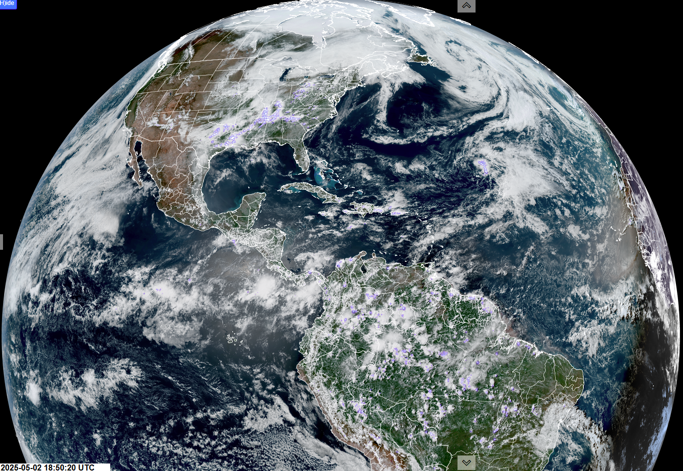
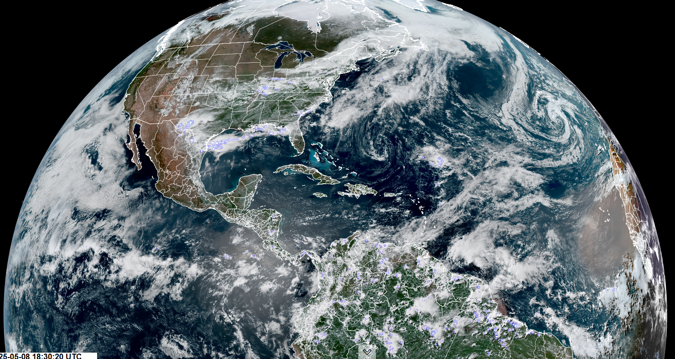
Roger Hill’s Radio Vermont Forecast 3:00 PM THURSDAY 5-8-25
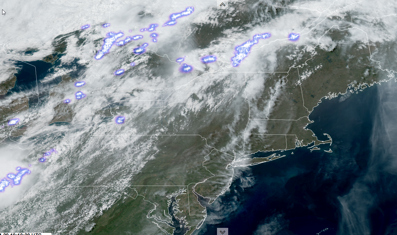
TONIGHT: Overcast. Rain developing toward Midnight…moderate at times toward daybreak. A low near 45. Light north winds.
TOMORROW: Gray, wet & chilly. Soaking rain…moderate at times. A high in the lower 50s. Light east winds.
FRIDAY NIGHT: Cloudy. Periods of rain…moderate at times. Lows in the mid-40s. Light north to northeast winds.
SATURDAY: Gray and very wet. Chance for soaking rainfall. Still rather cool and bit blustery. Highs lower 50s. Northwest winds 10 to 15 mph.
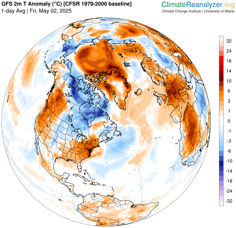
Looking further ahead
SATURDAY NIGHT: Any leftover sprinkles dry up early, otherwise clearing and colder. Lows 35 to 40.
SUNDAY: A few morning clouds then sunny and dry. Warming trend. A high around 55.
MONDAY: Morning cloudy periods give way to lots of sunshine. A low 35 to 40. Above normal in temperature. A high in the low 70s.
TUESDAY: Filtered sunshine thru high clouds. A little warmer. A low 45 to 50. A highs 75 to 80.
Average low: range 35 to 40. Average highs: Low to mid 60s.
RH/5-7[forecast][end]