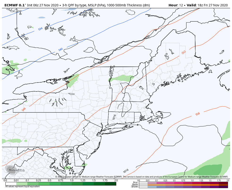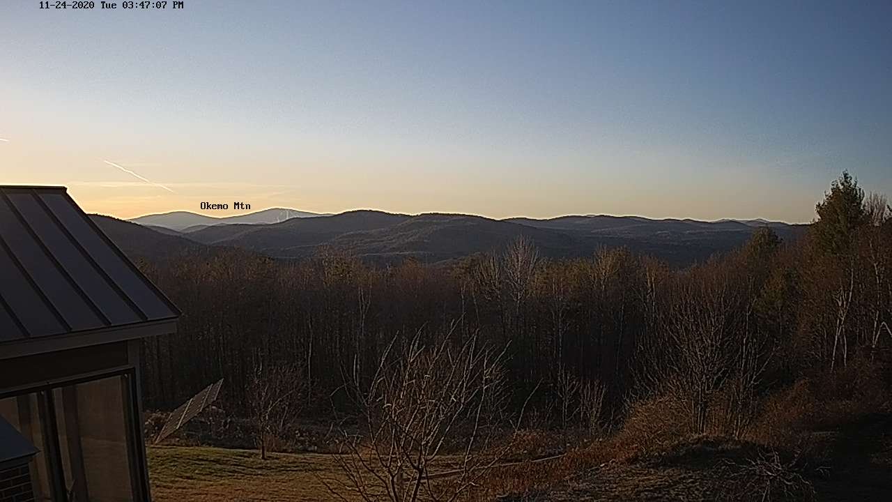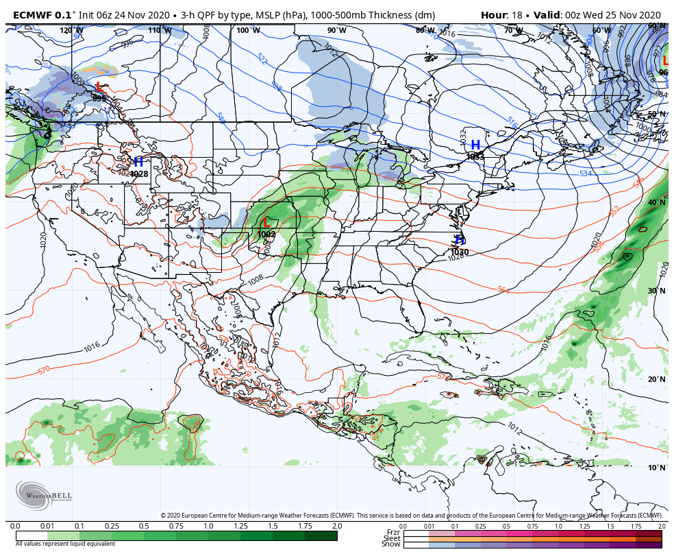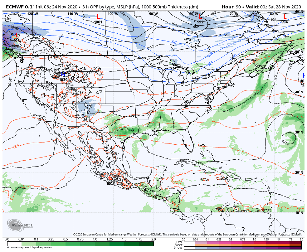
TONIGHT: Periods of rain briefly moderate at times early this evening…tapering to widely scattered light showers overnight. Milder with temperatures 50 to 55. Southeasterly winds 10 to 25 mph with higher gusts in the hills this evening.
TOMORROW: Scattered showers mainly late morning into mid-day. Otherwise mixed clouds and sun. Mild in the morning, turning colder later in the afternoon. A morning high near 55, then temperatures falling thru the 40s. South winds 10 to 20 mph.
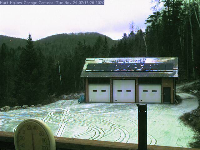
TUESDAY NIGHT: Partly to mostly cloudy. An isolated sprinkle mixed with wet snowflakes. A low around 32. South winds 10 mph.
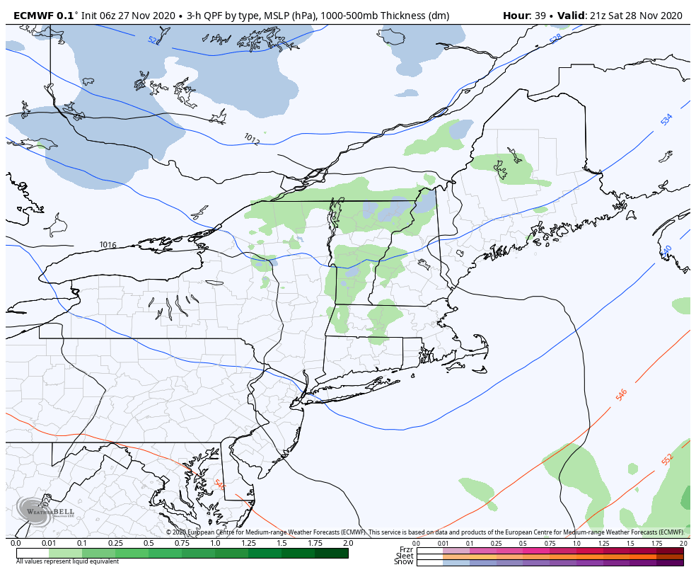
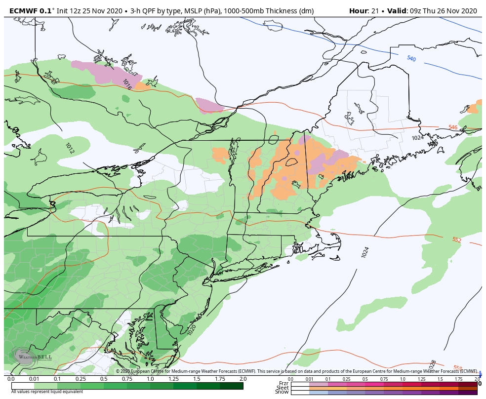
WEDNESDAY: Mainly cloudy & blustery in the afternoon. A rising chance for light accumulating snow showers in the afternoon. A minor coating late with possible slippery travel. A high in the mid-30s. South to southwest winds 10 to 20 mph.
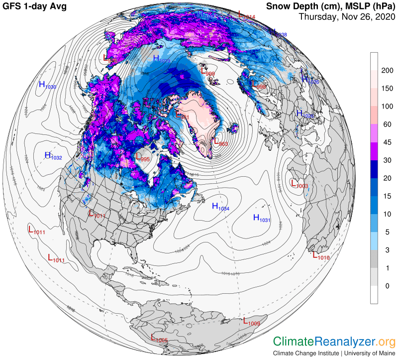
Looking further ahead…
WEDNESDAY NIGHT: Scattered accumulating snow showers early northern areas exiting, otherwise partly cloudy. Snow accumulation under an inch. A low in the mid-20s.
THURSDAY: Partly cloudy. A high 35 to 40.
FRIDAY: Mainly cloudy. Maybe a late day, evening flurry. A low near 32. A high around 40.
SATURDAY: Partly to mostly cloudy. A low 25 to 30. A high in the mid-30s.
Average low mid-teens to mid-20s, Average highs mid-30s to around 40.
RH/11-30 category forecast][end]