TONIGHT: Mostly cloudy. A few leftover showers…maybe a rumble of thunder far northern areas. Otherwise lots of clouds. A low in the mid-60s. Light southwest winds.
TOMORROW: Lots of clouds & much less humid. An isolated brief shower or sprinkle. A high around 75. Light northwest winds.
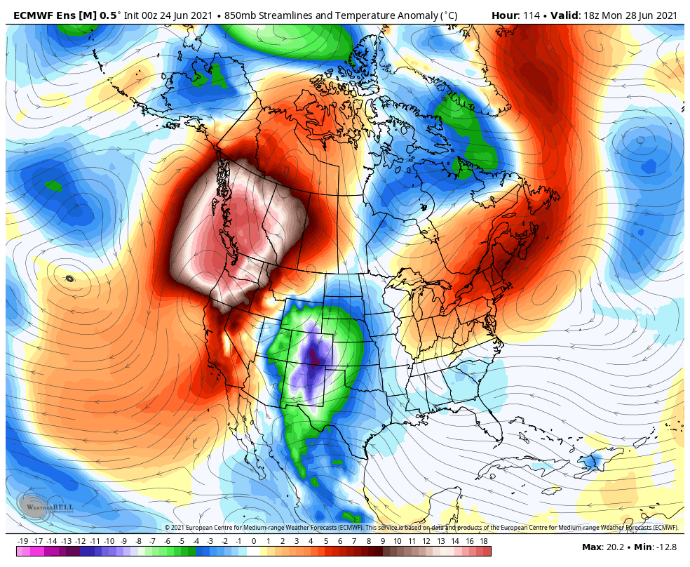
THURSDAY NIGHT: Overcast. A rising chance for showers after midnight southern and central areas. A low near 60. Light northeasterly winds.
FRIDAY: Overcast & gray. Unseasonably cool. Periods of rain, moderate at times. Maybe a thunderstorm. A high upper 60s to near 70. Light northeast winds.
Looking further ahead…
FRIDAY NIGHT: Mostly cloudy. A low around 55.
SATURDAY: Mostly cloudy & unseasonably cool. Scattered showers, mainly near the mountains. A high upper 60s to near 70.
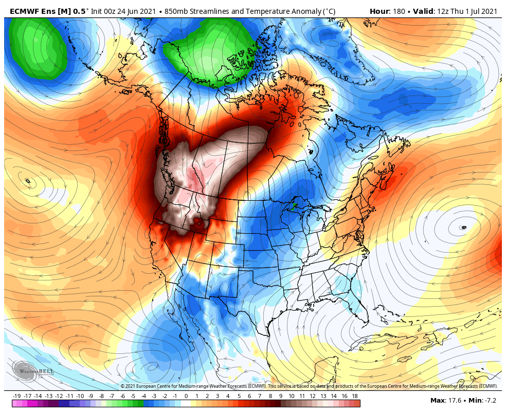
SUNDAY Independence Day: Mostly cloudy. A low around 55. A high in the upper 60s.
MONDAY: Mixed clouds and sun & pleasant. A low 50 to 55. A high 75 to 80.
Average low in the mid to upper 50s. Average highs in the mid-70s to low 80s. .
Meteorological summer peaks approx. July 22nd based off local climatology.
RH/6-30forecast][end]