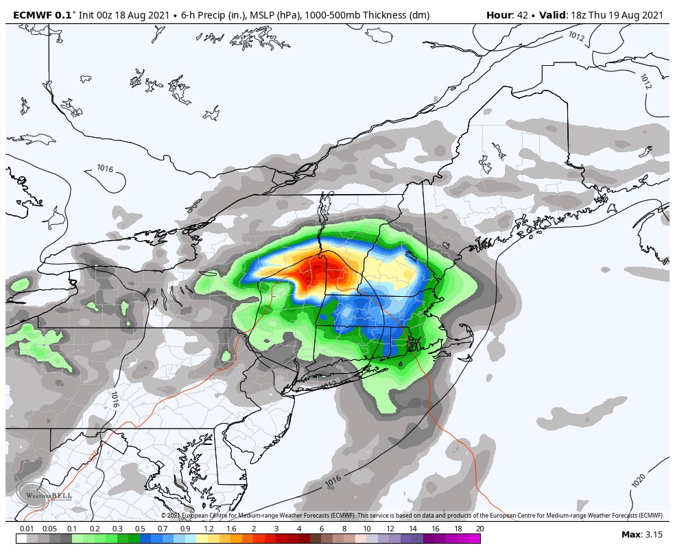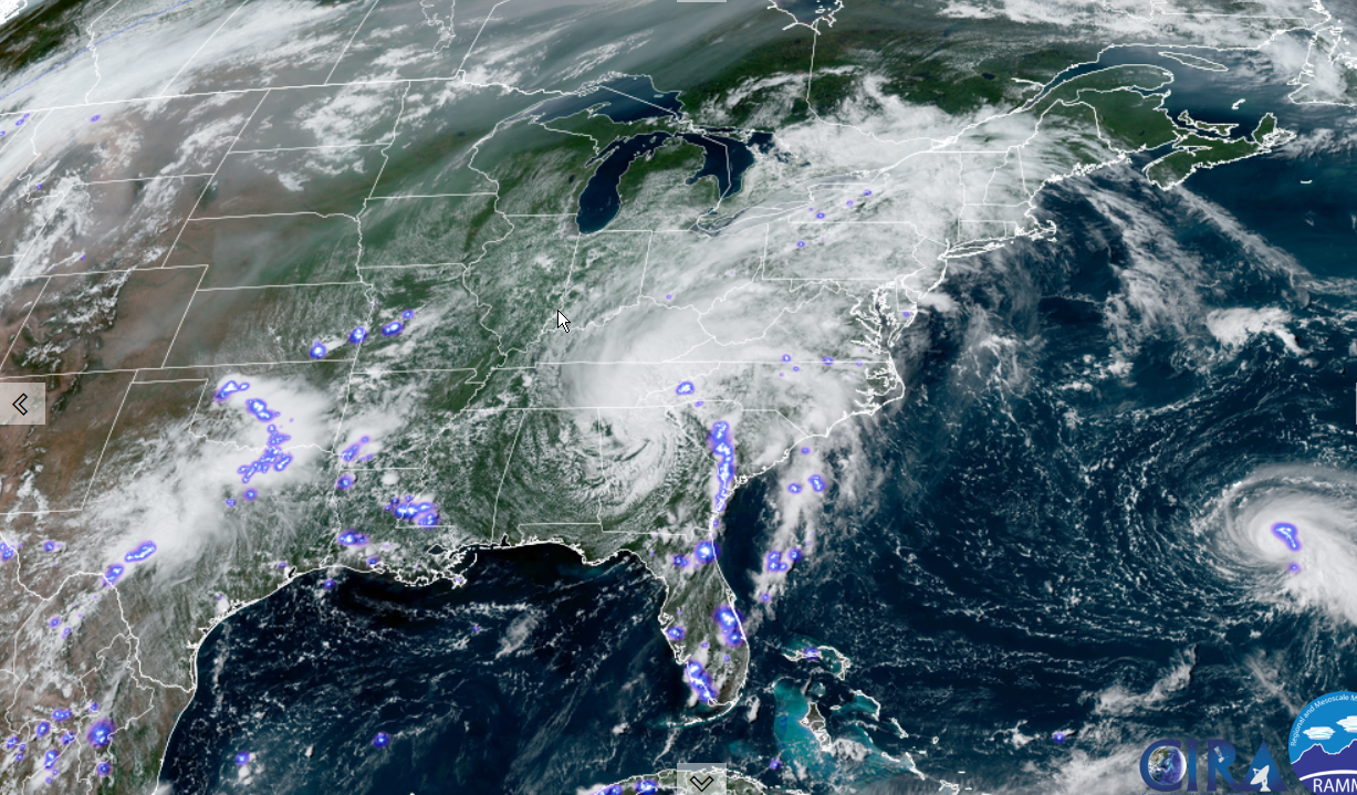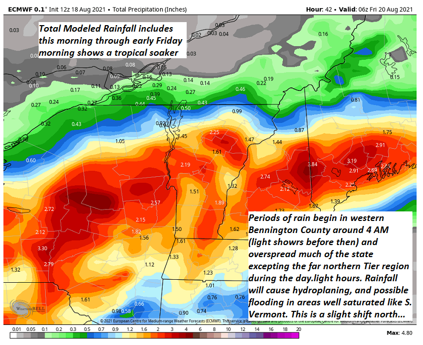
Flash Flood Watch 11 PM tonight thru Thursday evening for the southern ½ of the state.
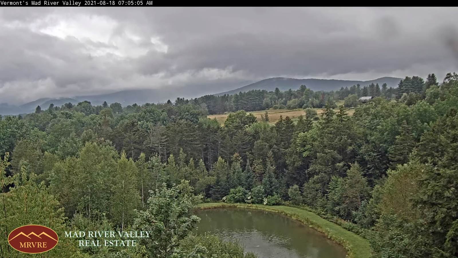
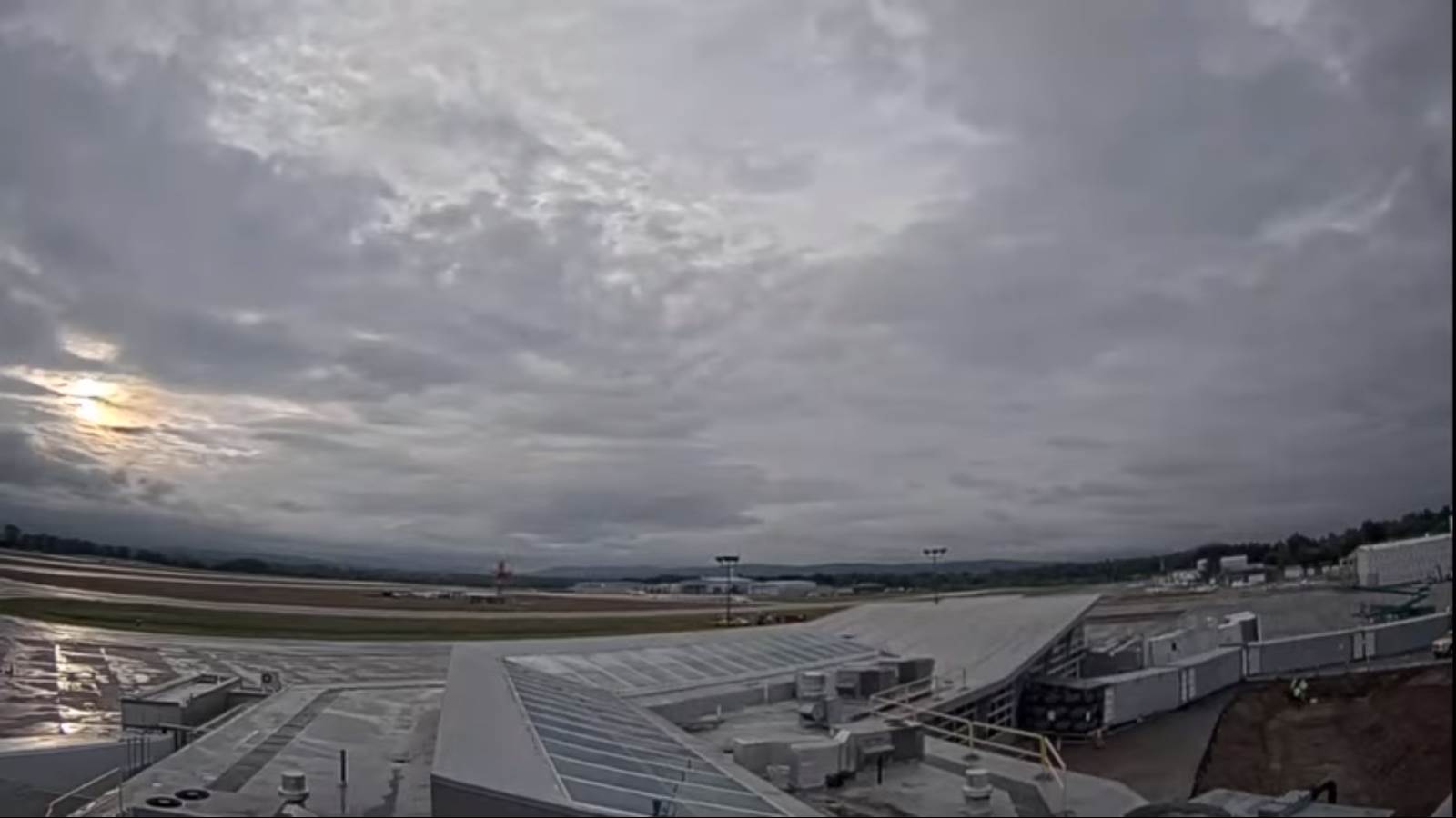
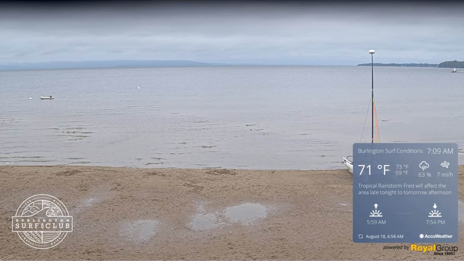
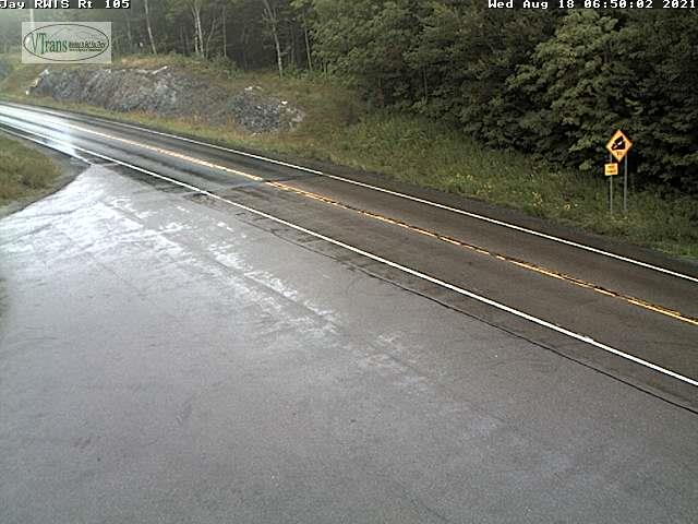
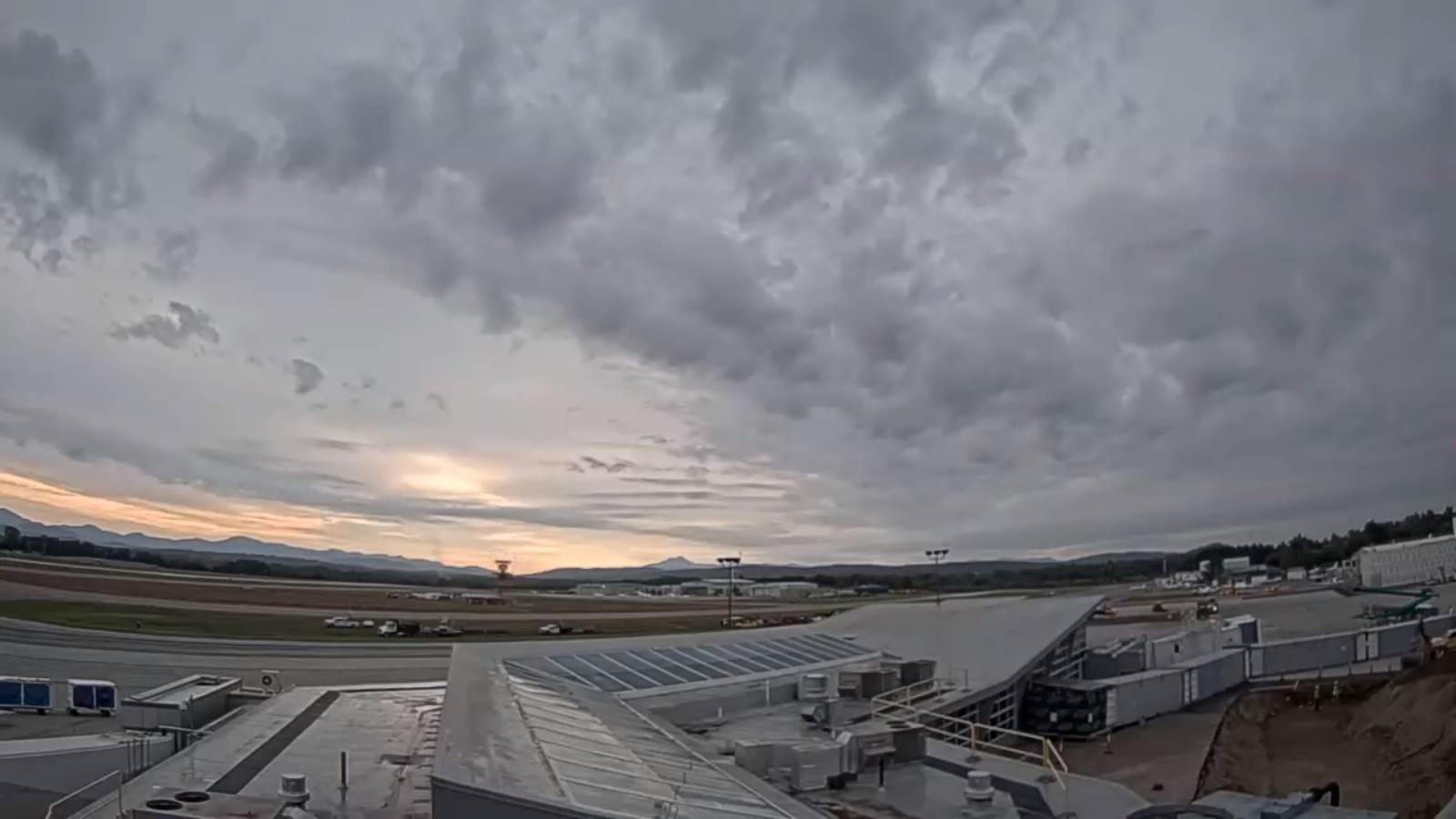
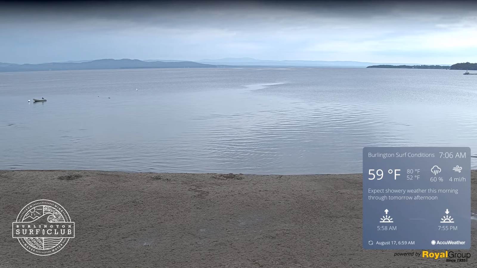
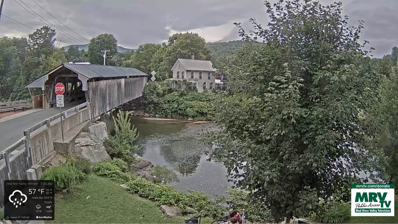
TONIGHT: Cloudy. Isolated light showers or sprinkles…more numerous & moderate to heavy at times developing across southern Vermont overnight. Humid. A low mid to upper 60s. Light south to southeast winds.
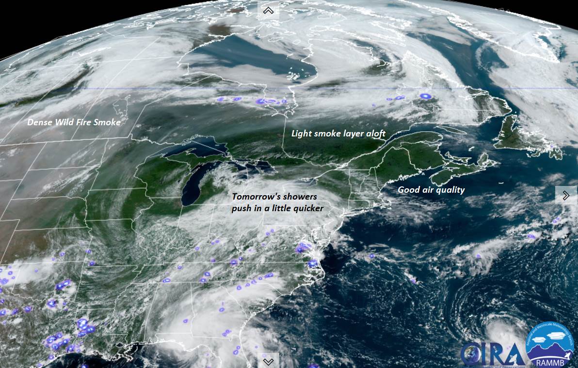
TOMORROW: Gray. Periods of rain, becoming moderate to heavy at times mid to late morning on. Maybe a rumble of thunder late. Continued very humid. A high in the 70s. Easterly breeze 10 mph, shifting to northerly late
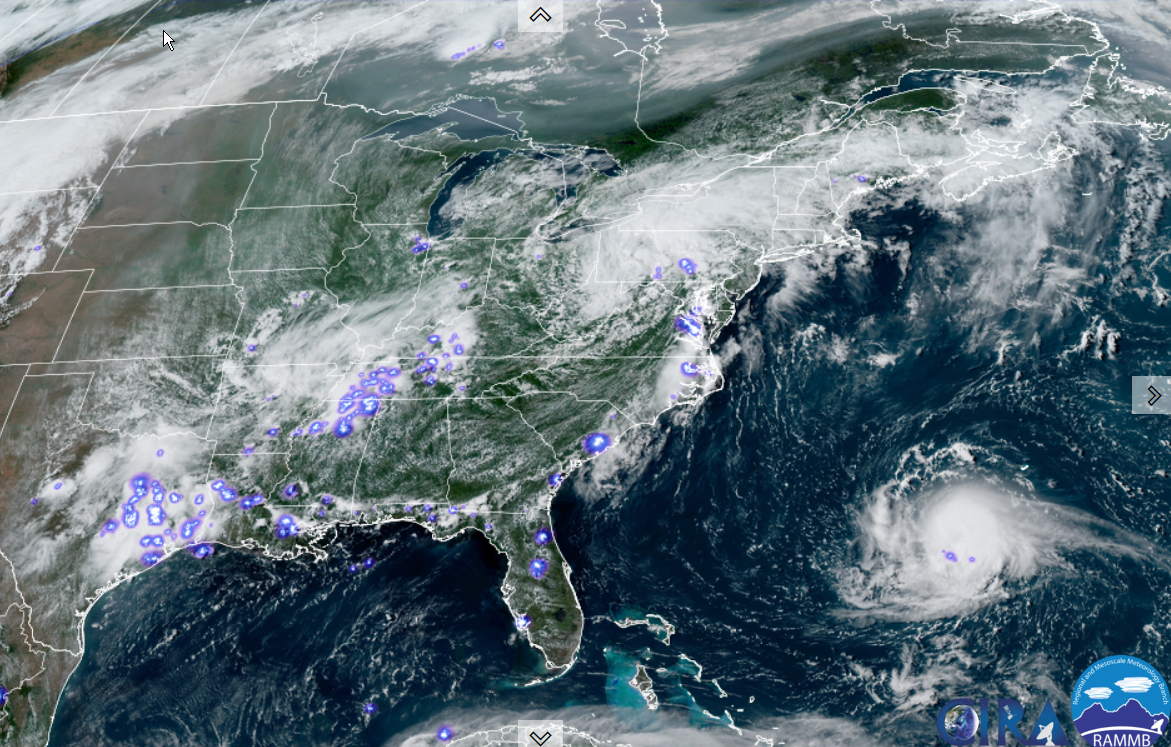
THURSDAY NIGHT: Periods of rain moderate to heavy at times with a rumble of thunder around midnight. Otherwise cloudy with areas of fog. A low near 65. North to northwest winds 10 mph.
FRIDAY: Clouds mixed with intervals of sunshine after morning fog. Warmer and stiflingly humid. A high 80 to 85. Light northwest winds.
Looking further ahead…
FRIDAY NIGHT: Mostly cloudy but dry. Patchy valley fog. Continued muggy. A low 65 to 70.
SATURDAY: Clouds mixing with a few breaks of sunshine. Chance for late afternoon showers and few thunderstorms mainly southern areas. A high 80 to 85.
SUNDAY: Clouds a few breaks of sun. Scattered showers and afternoon thunderstorms southern areas. A low around 65.
A high 75 to 80.
MONDAY: Partly sunny. A low near 60. A high 75 to 80.
Average low ranging thru the 50s. Average highs mid to upper 70s.
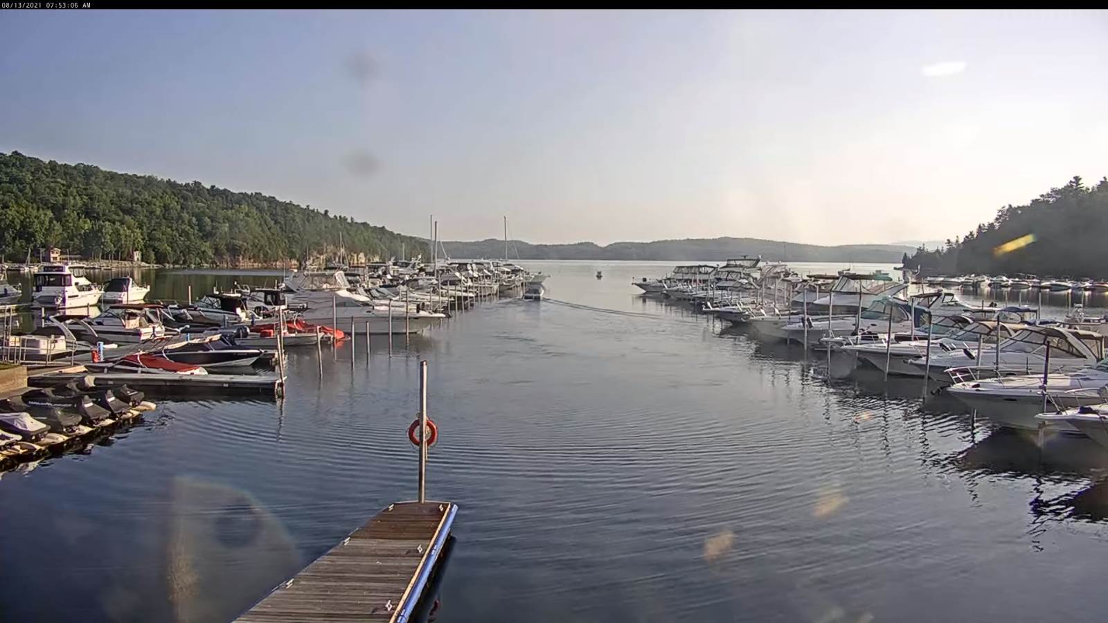
Warmest surface water temperatures peaking based off local lake climatology.
RH/8-18forecast][end]