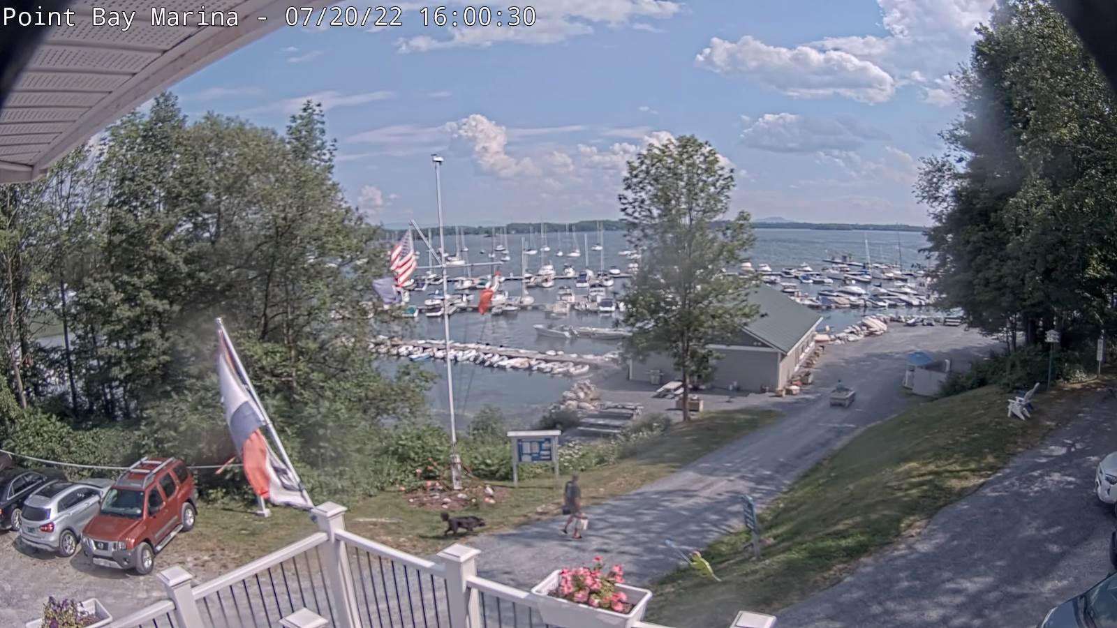
TODAY: Sunshine mixing with more clouds. Refreshingly less humid. A high mid to upper 70s. Light west winds.
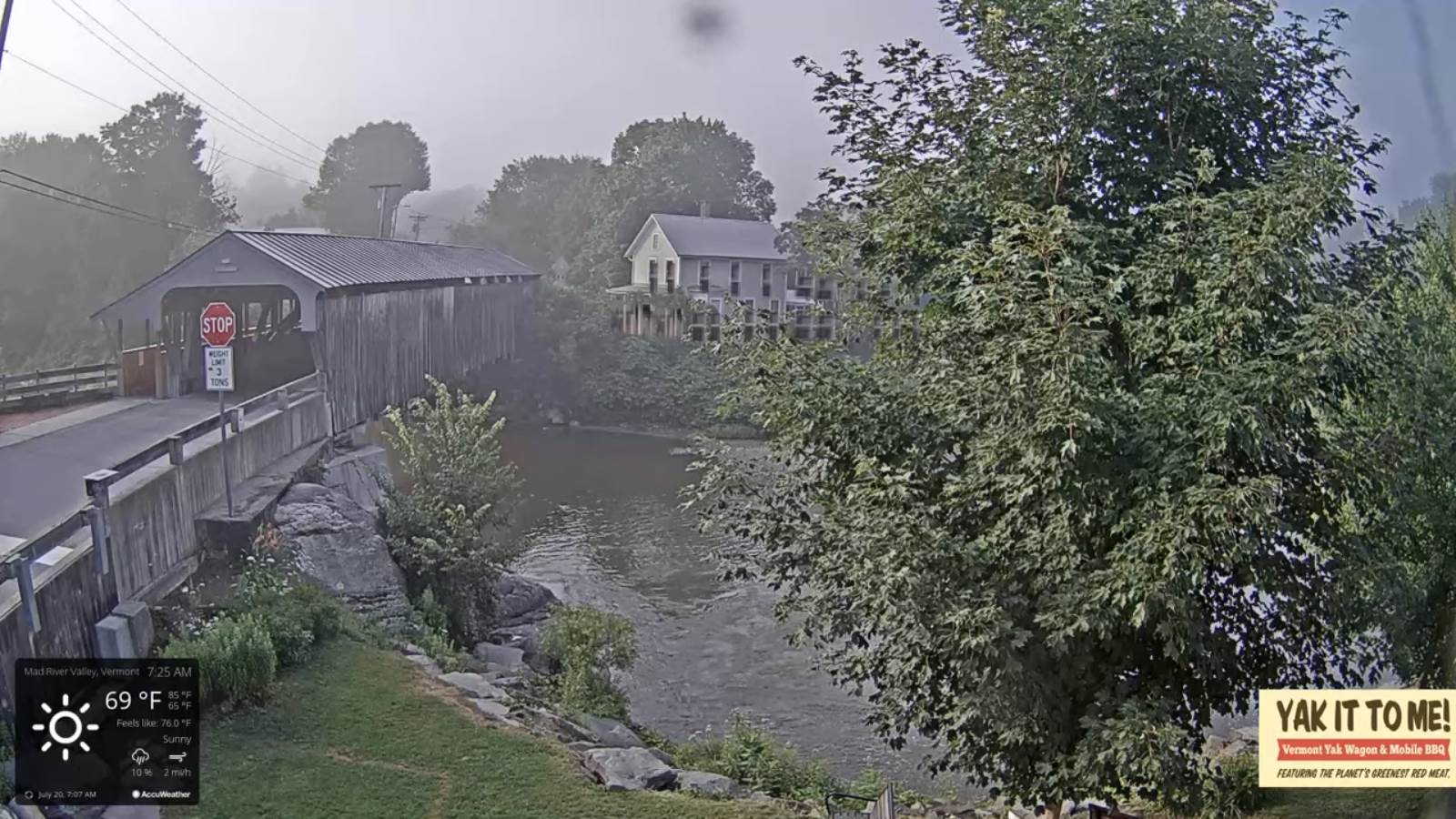
TONIGHT: Mostly clear with few high clouds. Patchy valley fog. A low 50 to 55. Little wind.
WEDNESDAY: Sunshine after morning fog, then partly sunny in the afternoon. A high around 80. Light southwest winds.
Looking Further Ahead…
WEDNESDAY NIGHT: Fair in the evening then thickening clouds. A low upper 50s to near 60.
WDEV Night Thunder Road
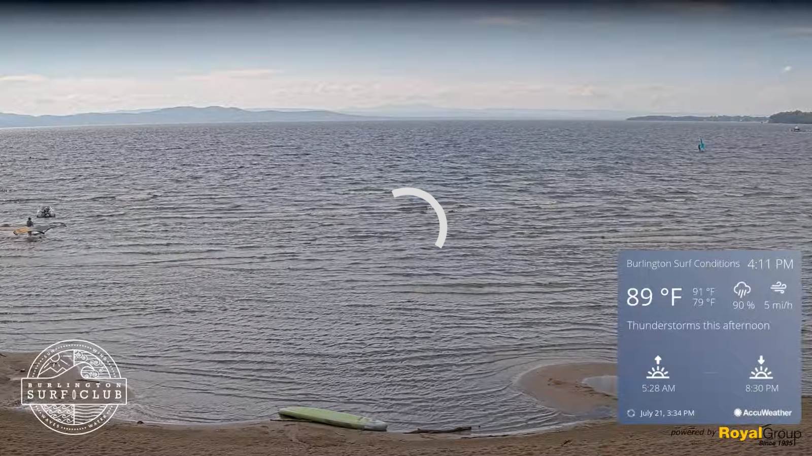
THURSDAY: Mostly cloudy. Good chance for afternoon showers and thunderstorms winding down late. Some thunderstorms may be strong to locally severe. A high near 85.
FRIDAY: Variable cloudiness. Scattered showers and a few isolated thunderstorms. A low around 60. A high near 80.
SATURDAY: More sun than clouds. Slight chance for an afternoon shower or thunderstorm. A low 55 to 60. A high around 75.
SUNDAY: Sunshine with afternoon cloudiness. A low around 55. A high upper 70s.
Average lows 60 to 65. Average highs upper-70s to low 80s.
RH/7-26[forecast][end]