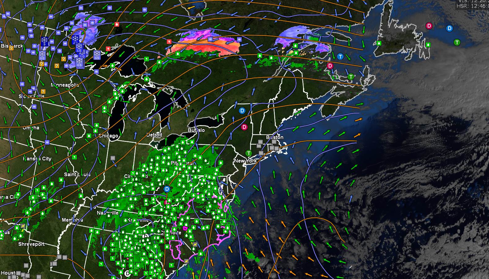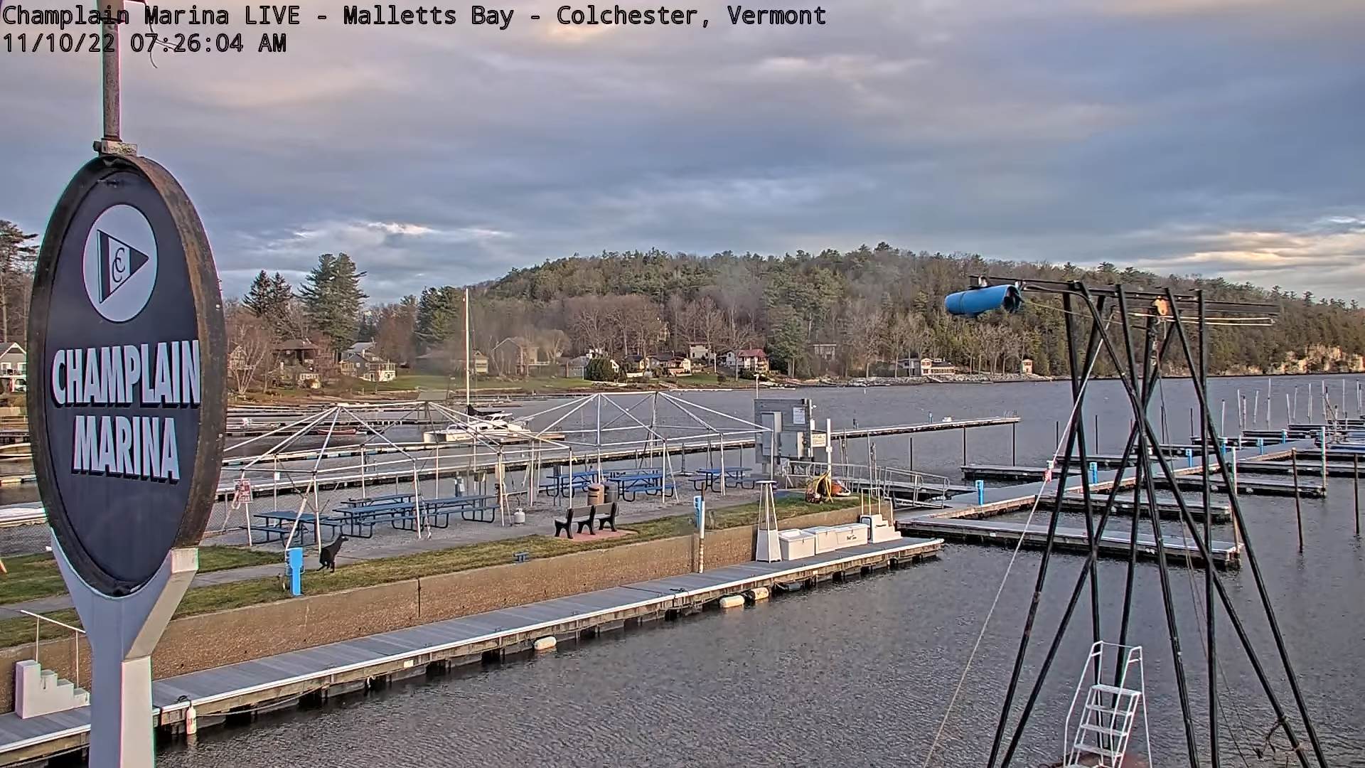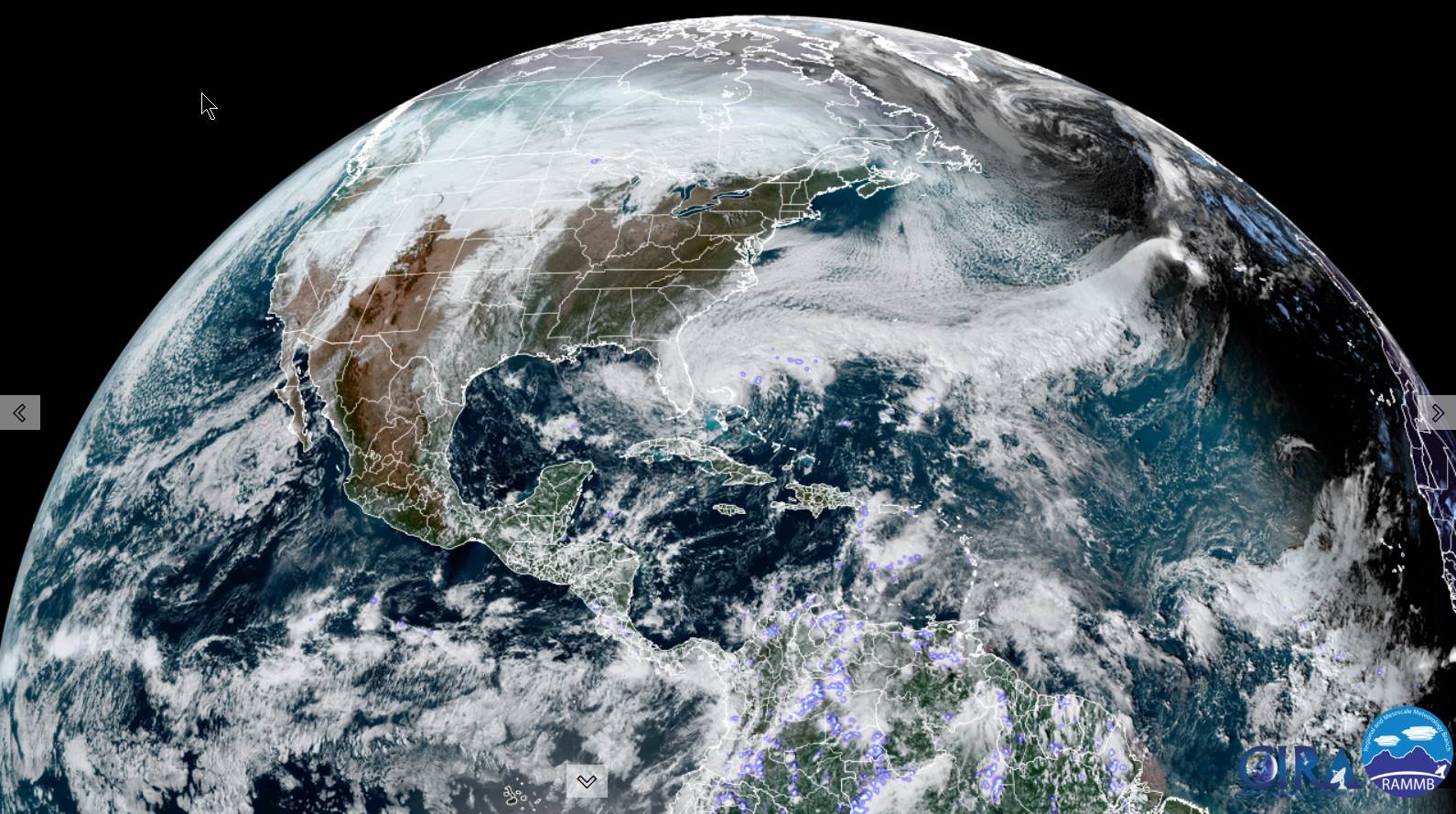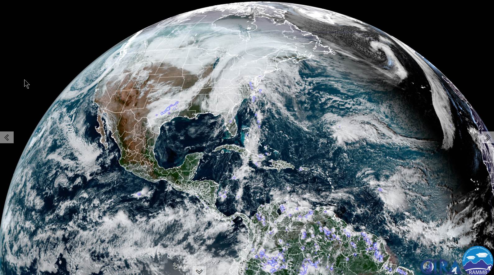
TONIGHT: Rain, becoming moderate to heavy at times this evening with a rumble of thunder. Isolated sprinkles overnight. An early low upper 40s…milder overnight. South to southeast winds 10 to 15 mph.
TOMORROW: An early round of showers likely, moderate to heavy at times in the morning. Showers exit before Noon to intervals of sun and isolated mountain sprinkles. An early high around 60…falling thru the 50s in the afternoon. Winds become northwest 10 to 20 mph and gusty in the afternoon.
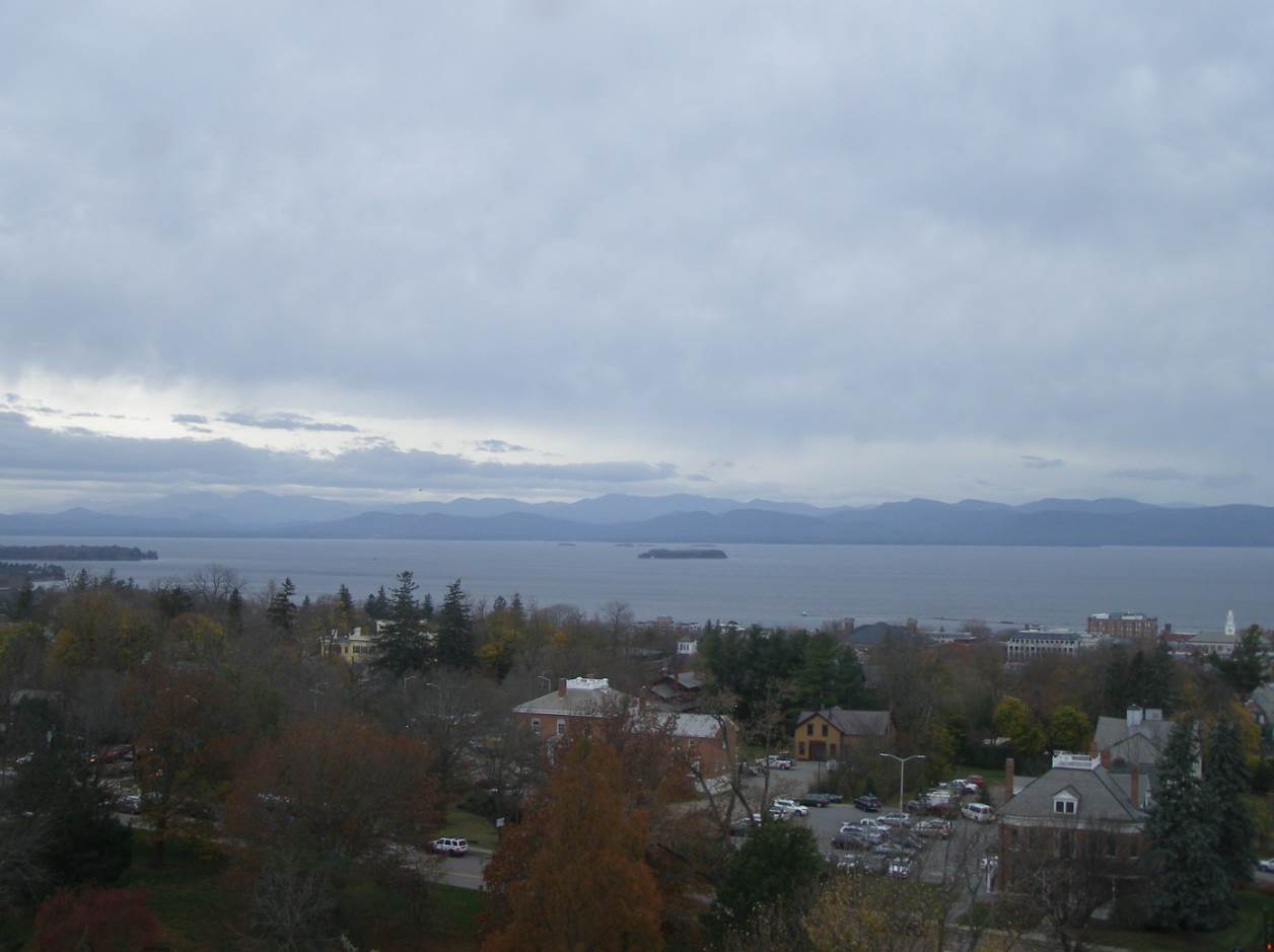
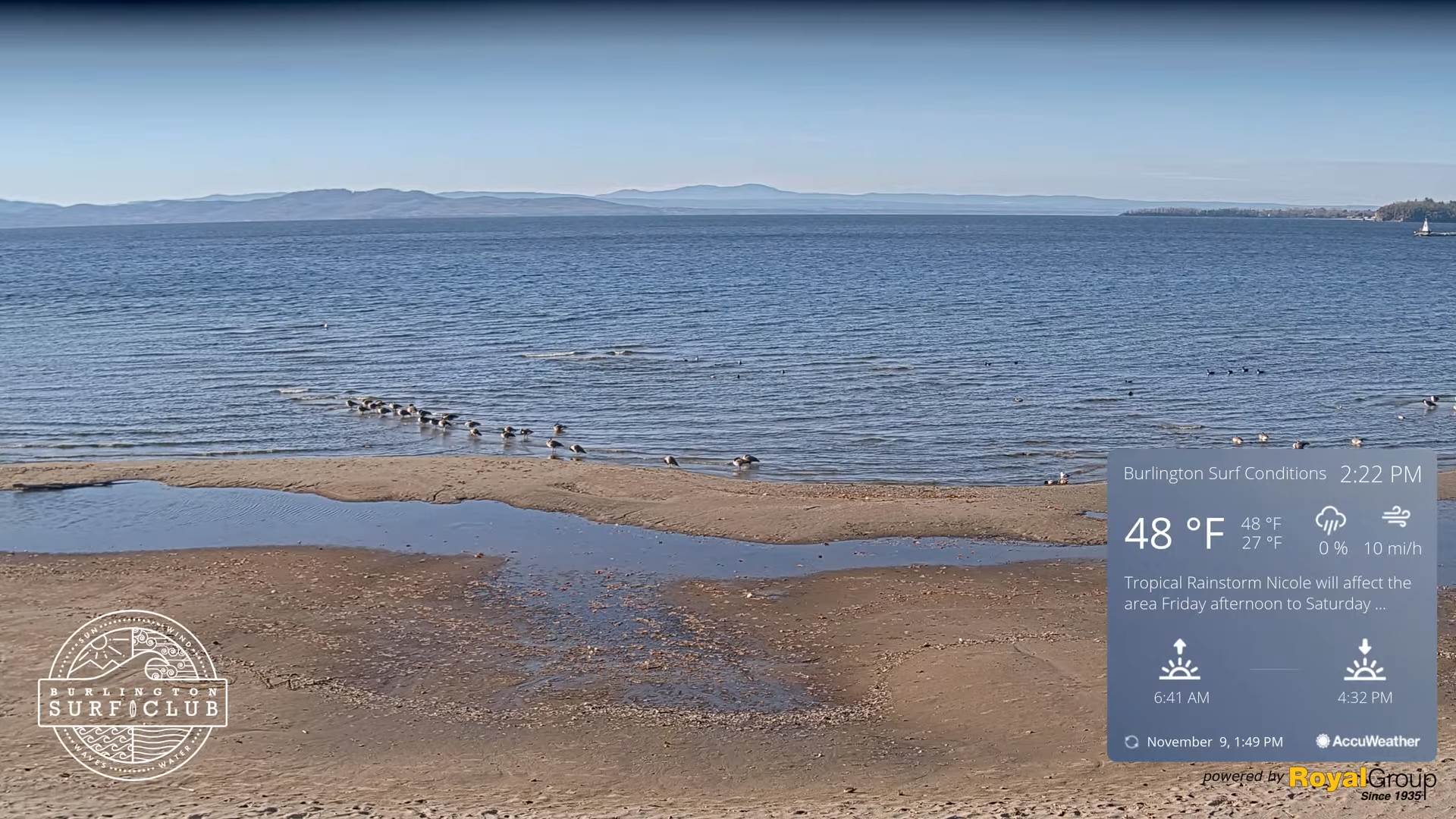
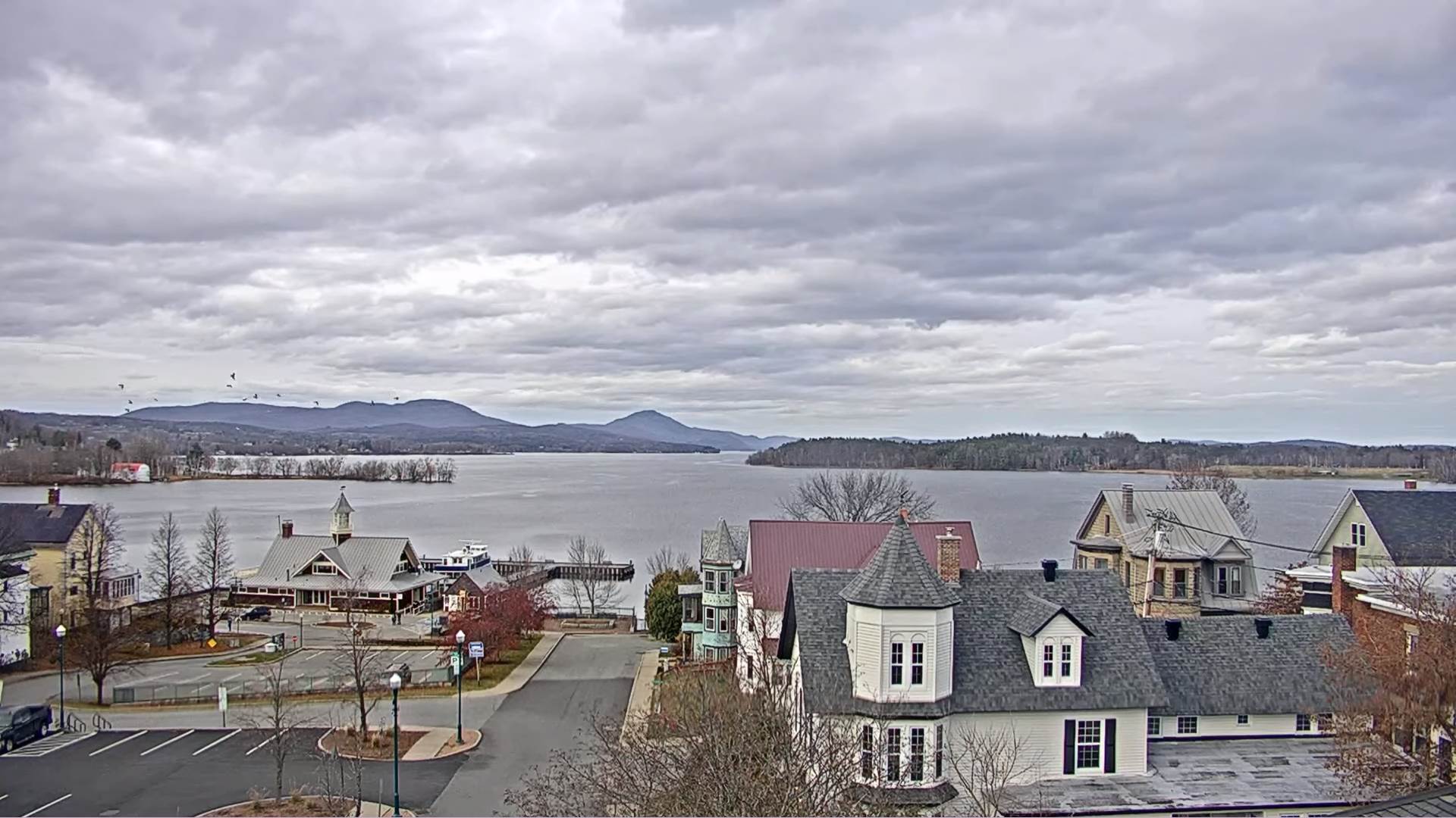
SATURDAY NIGHT: Mostly cloudy. An isolated mountain sprinkle or wet snowflake. A low in the upper 30s. Light west winds.
SUNDAY: Considerable clouds & blustery. Scattered rain showers developing in the afternoon…mixing with wet snow especially Northeast Kingdom later on. A high around 45. Light northwest winds.
Looking Further Ahead…
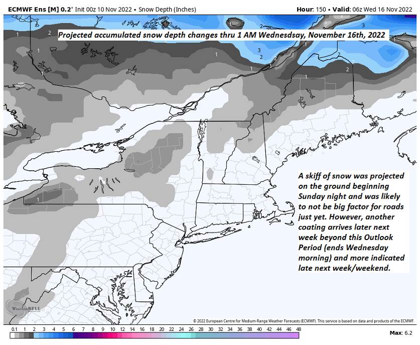
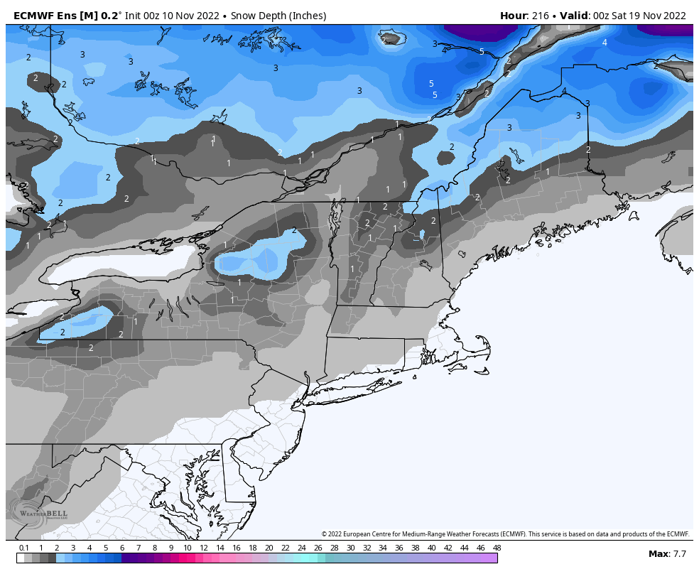
SUNDAY NIGHT: Chance for a few evening snow showers Northeast Kingdom with a skiff of accumulations possible. A low around 25.
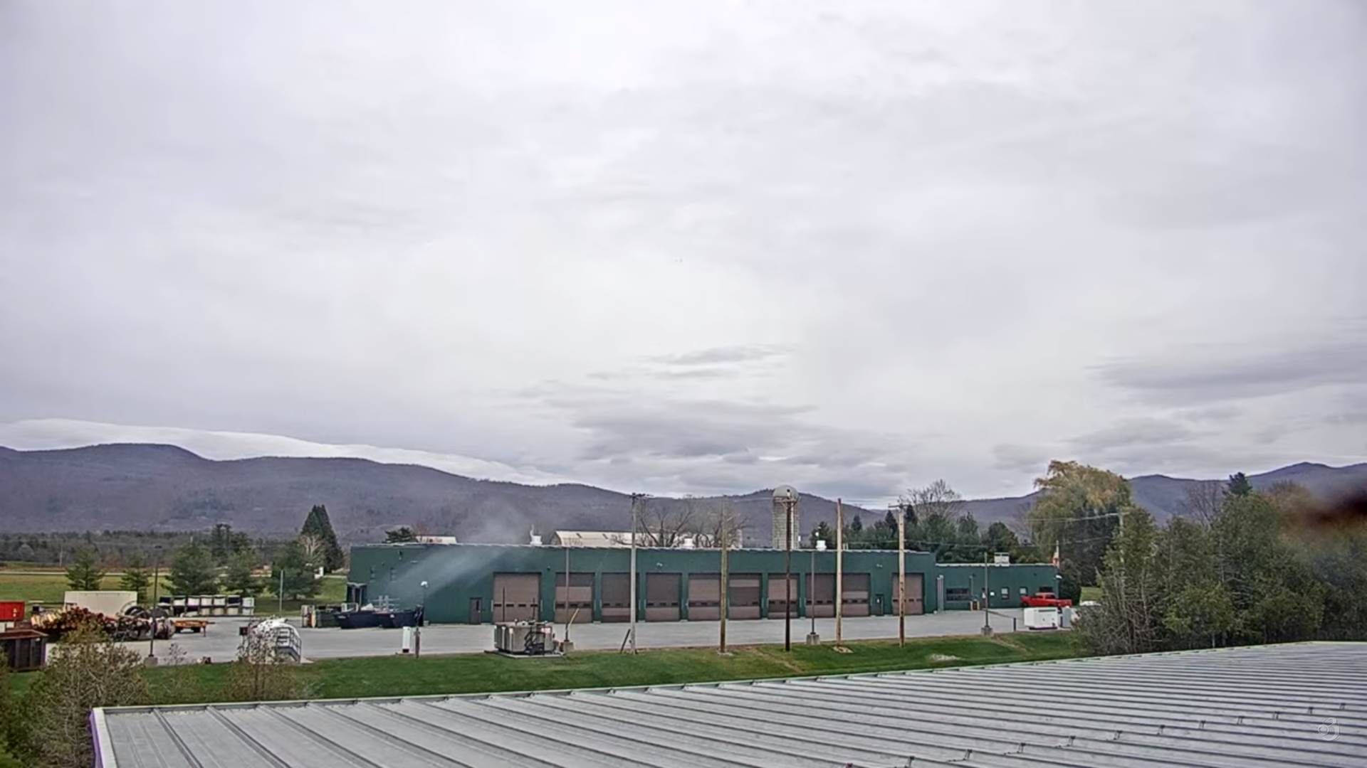
MONDAY: Mixed clouds and sun. Blustery & colder. A high 35 to 40.
TUESDAY: Morning sunshine gives way to increasing afternoon clouds. A low in the mid-20s. A high in the mid to upper 30s.

WEDNESDAY: Cloudy. Potential for accumulating snow or snow showers. Trace to 2” coating down to valley floors. A low in the mid-20s. A high in the upper 30s to near 40.
Average lows mid-20s to low 30s. Average highs 45 to 50.
RH/11-11forecast][end]