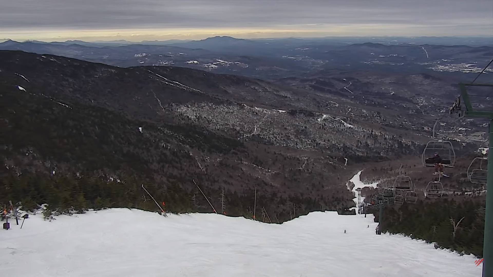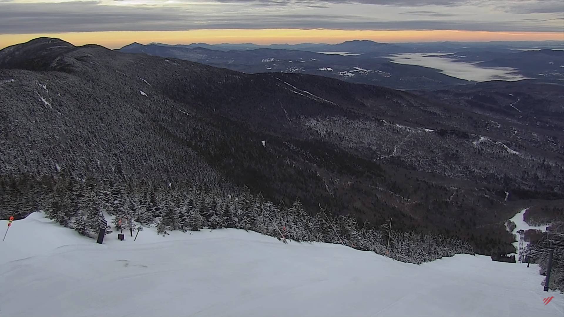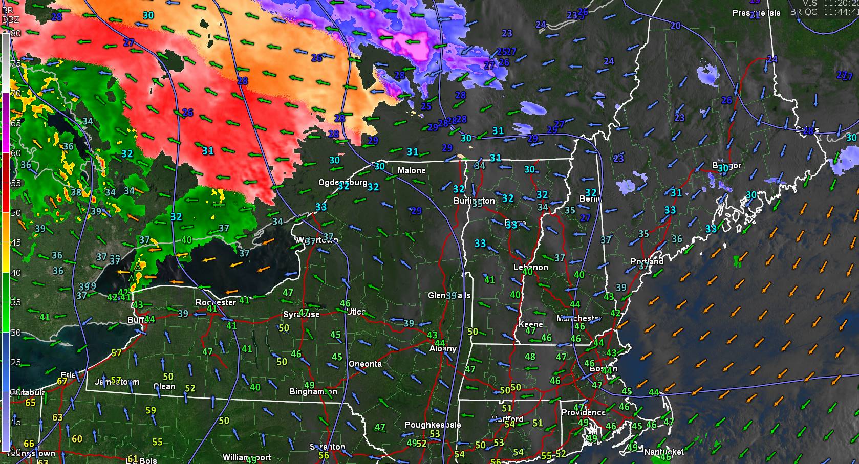
Winter Weather Advisory Green Mountains and points east 11 AM this morning thru 5 AM Thursday morning…
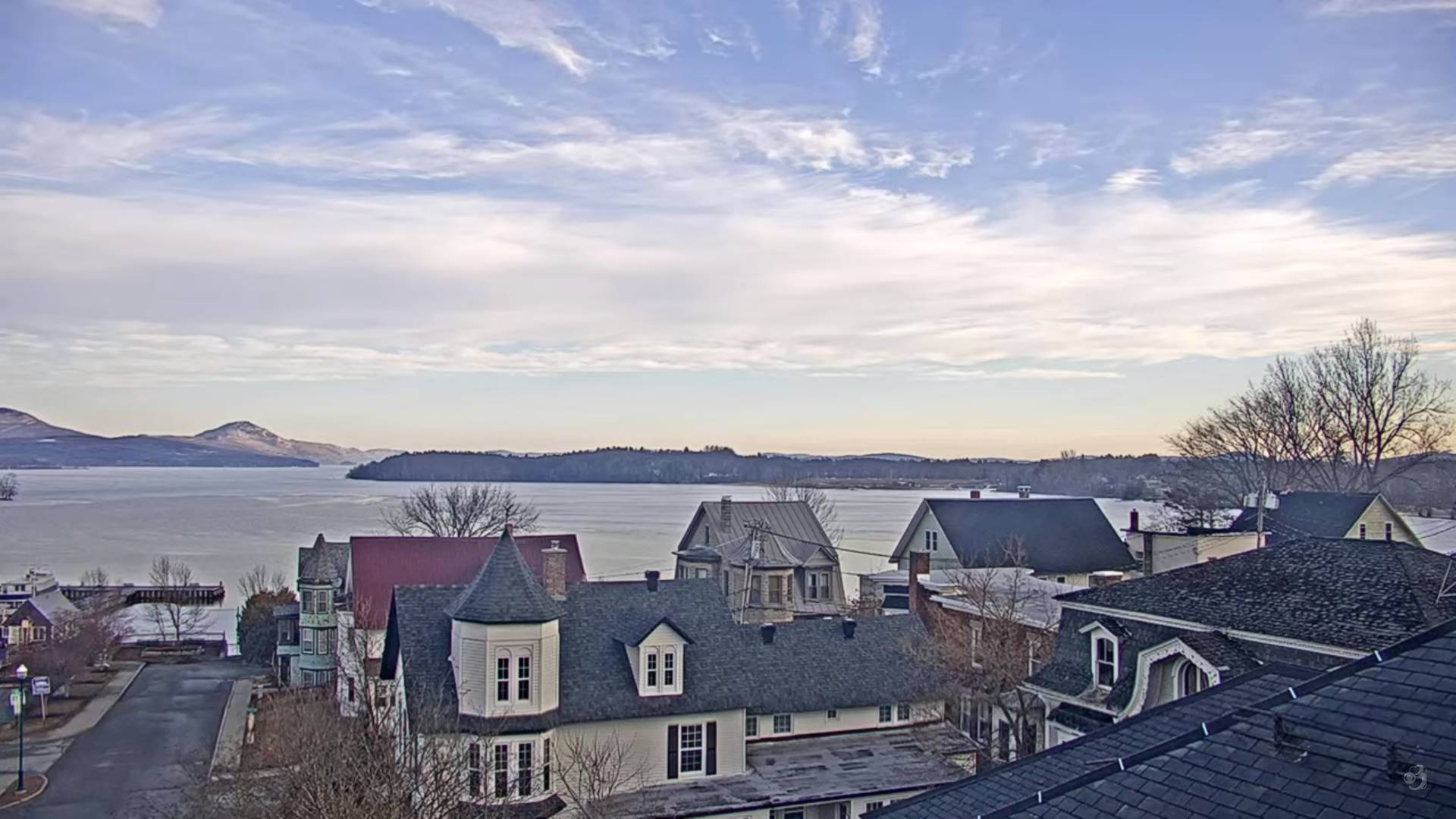
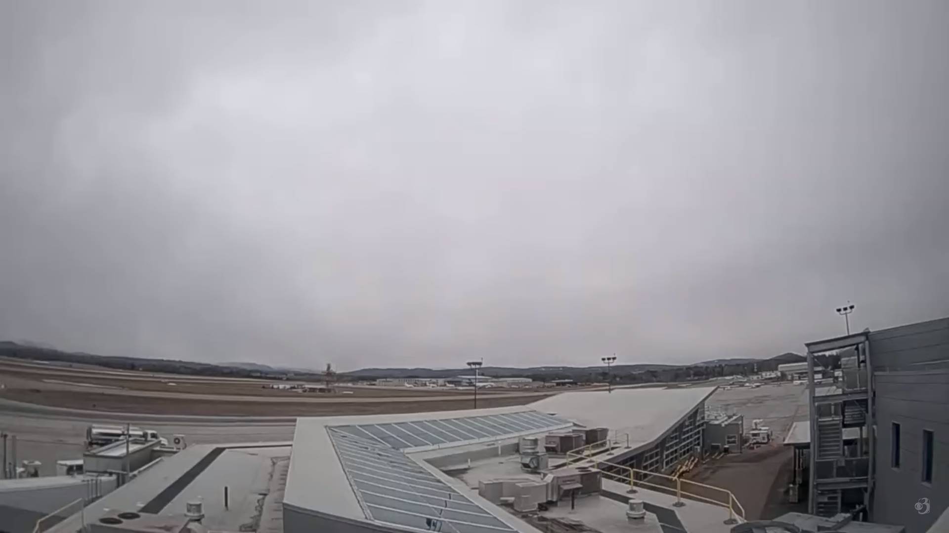
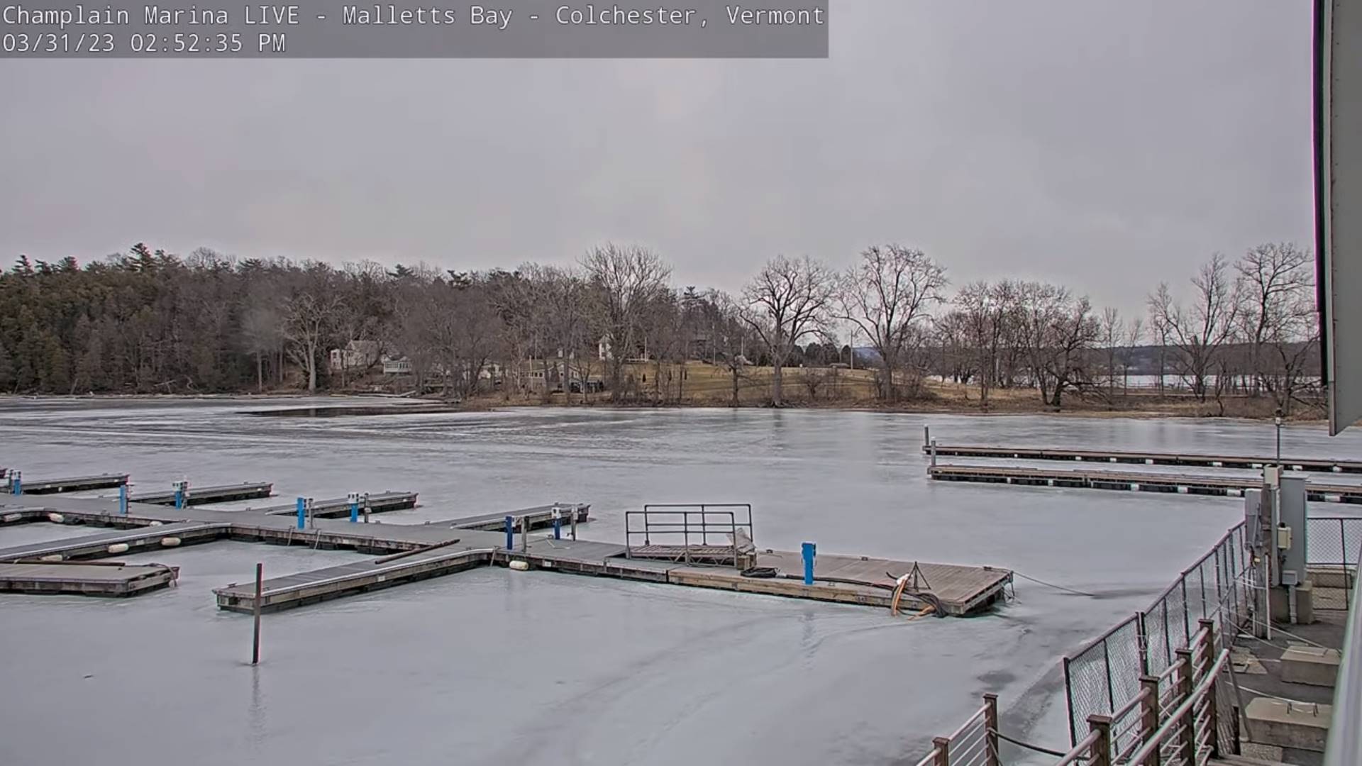
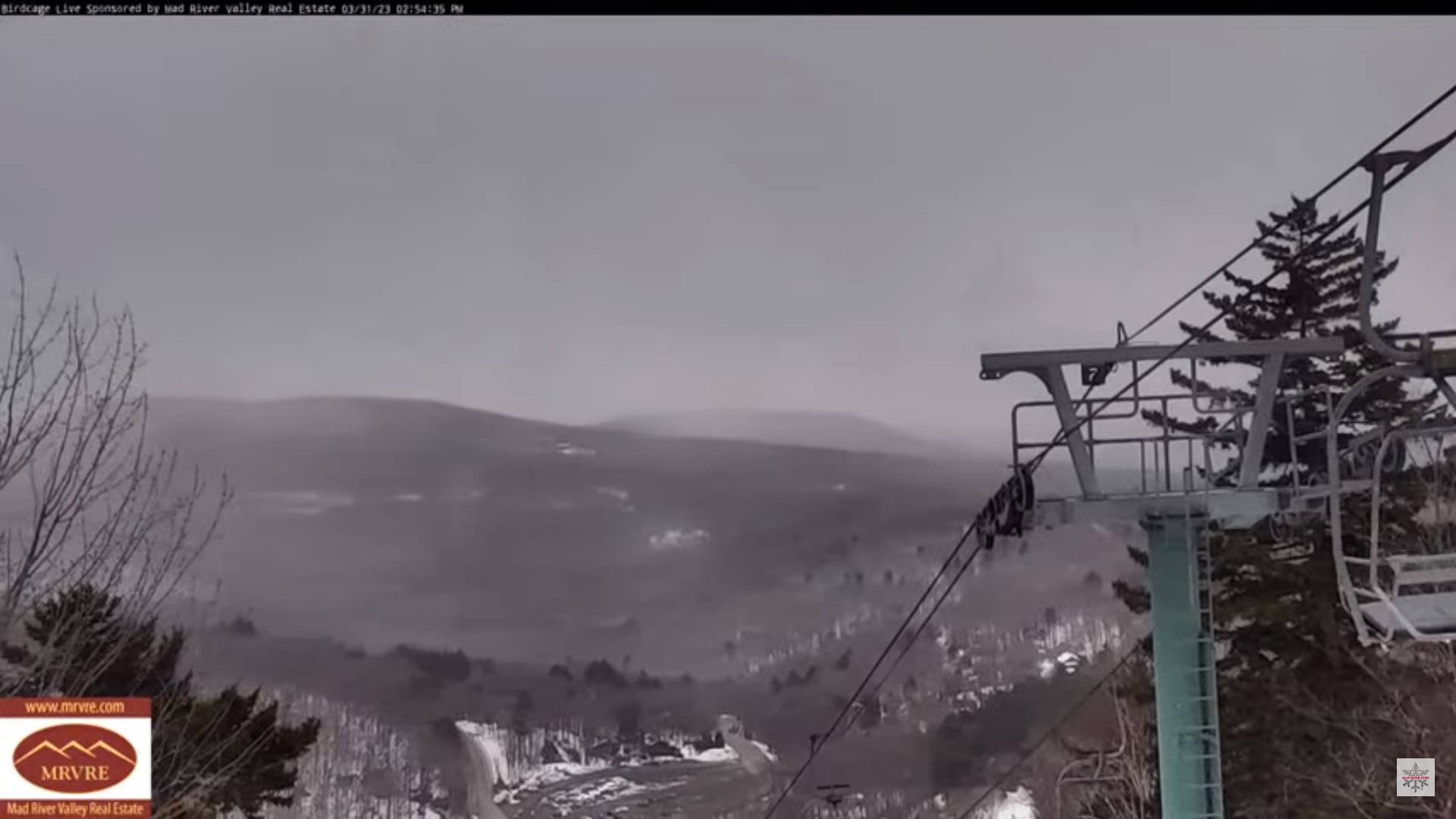
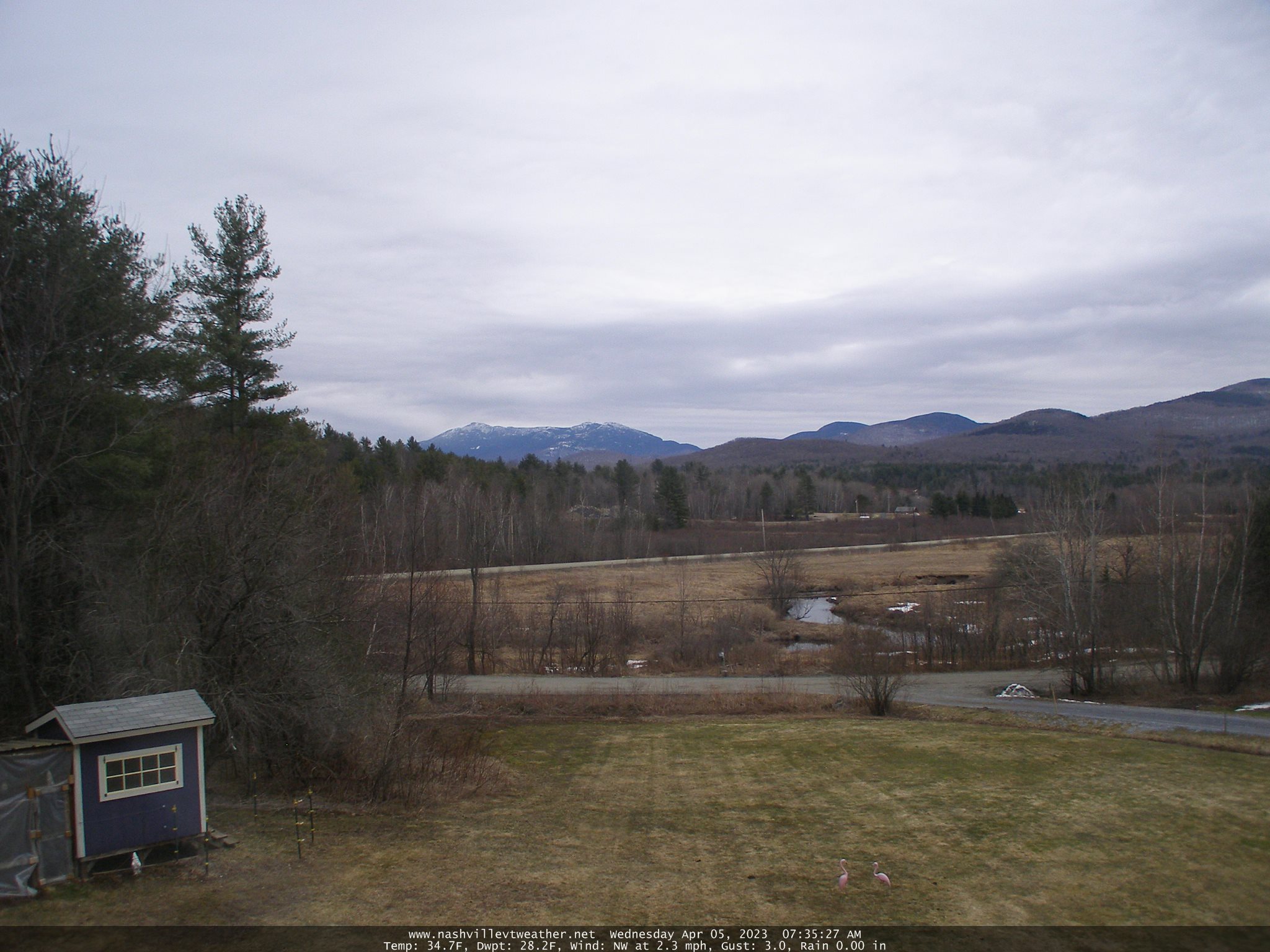
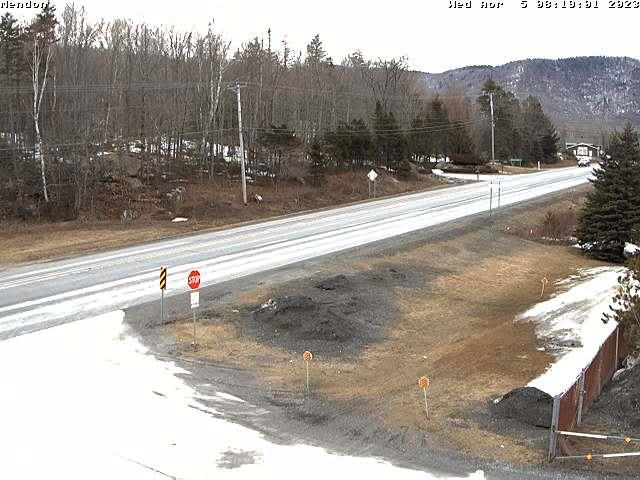
TODAY: Gray, unsettled and colder. Isolated spotty sprinkles or mixed precipitation this morning far northern areas. Rain showers with areas of freezing rain portions of northern and eastern Vermont with icy travel later this afternoon. A mid-day high about 40. Southeast winds 10 to 20 mph.
Full Pink Moon 12:34 AM
TONIGHT: Cloudy. Rain showers…moderate at times. Isolated pockets of freezing rain changing to rain later this evening and overnight. Areas of fog. An evening low about 32 to 35, milder western areas overnight. Light southeast winds.
THURSDAY: Cloudy. Occasional rain showers, areas of fog. Milder in the afternoon. A high pushing to near 60. Light southwest breeze.
Looking further ahead
THURSDAY NIGHT: High overcast, otherwise fair a dry. A low 32 to 35.
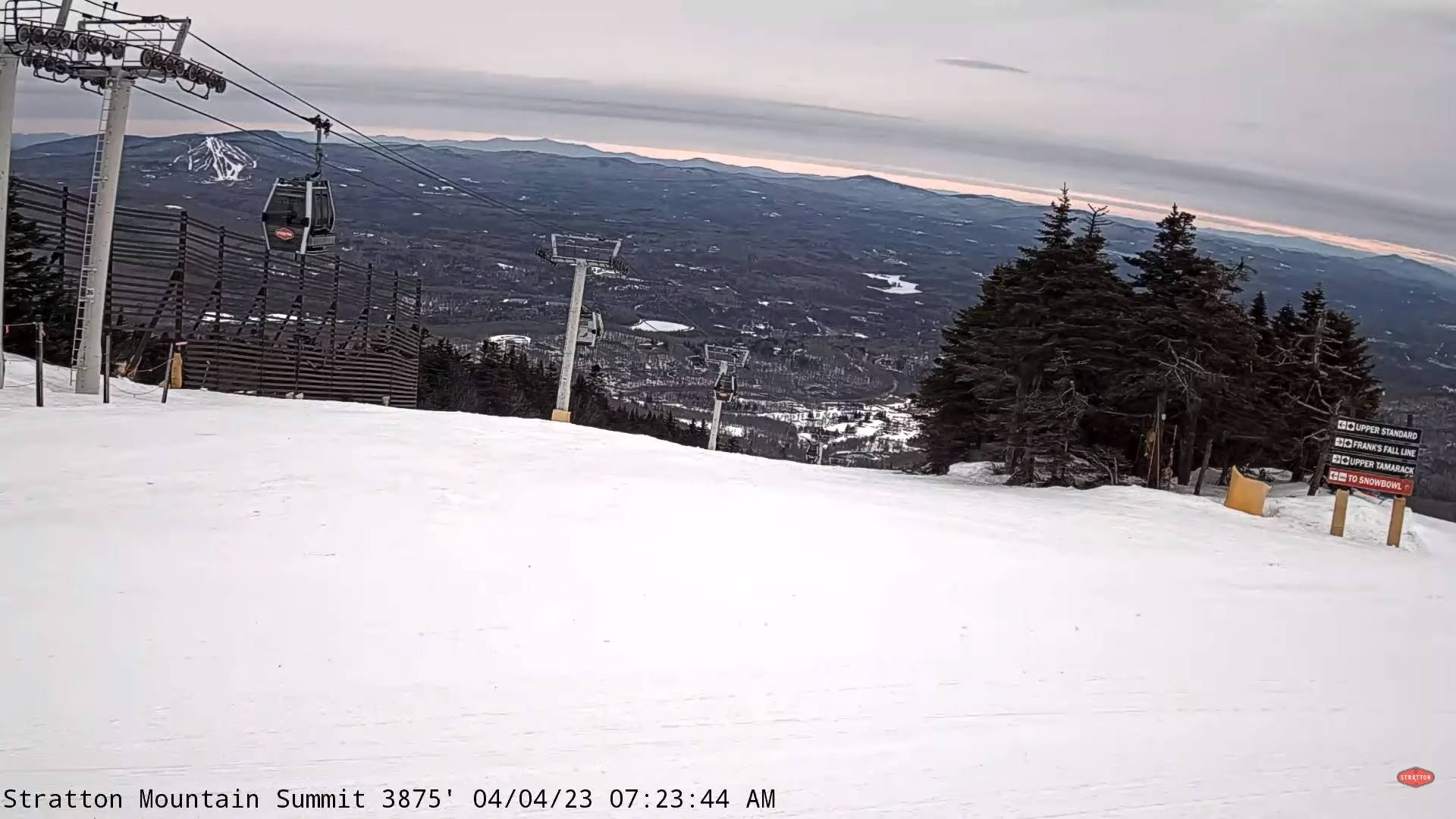
FRIDAY: Clouds mixed with intervals of sun. An isolated mountain flurry. Blustery to windy with gusty northwest winds. A high around 40.
SATURDAY: Bright sunshine & blue skies. A low 20 to 25. A high 40 to 45.
SUNDAY: Mostly sunny. A low around 25. A high 50 to 55.
Average lows mid-20s to low 30s. Average highs mid-40s to low 50s
Start of Meteorological summer arrives June 6th.
RH/4-5 forecast][end]