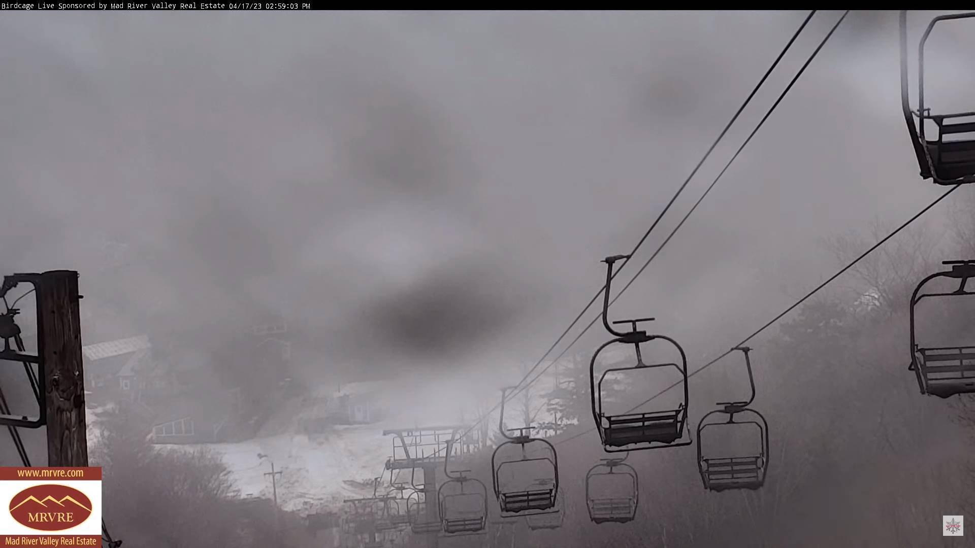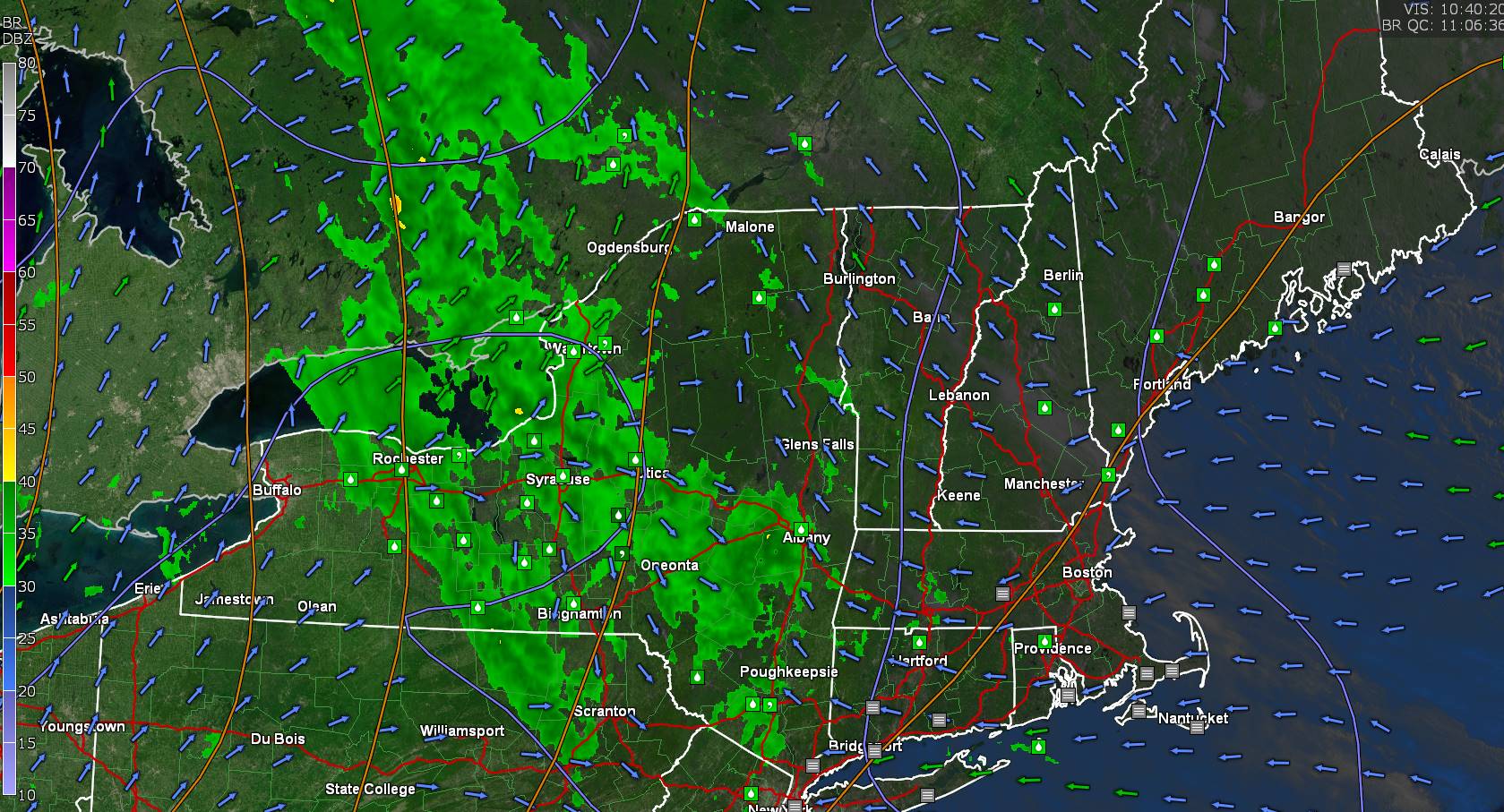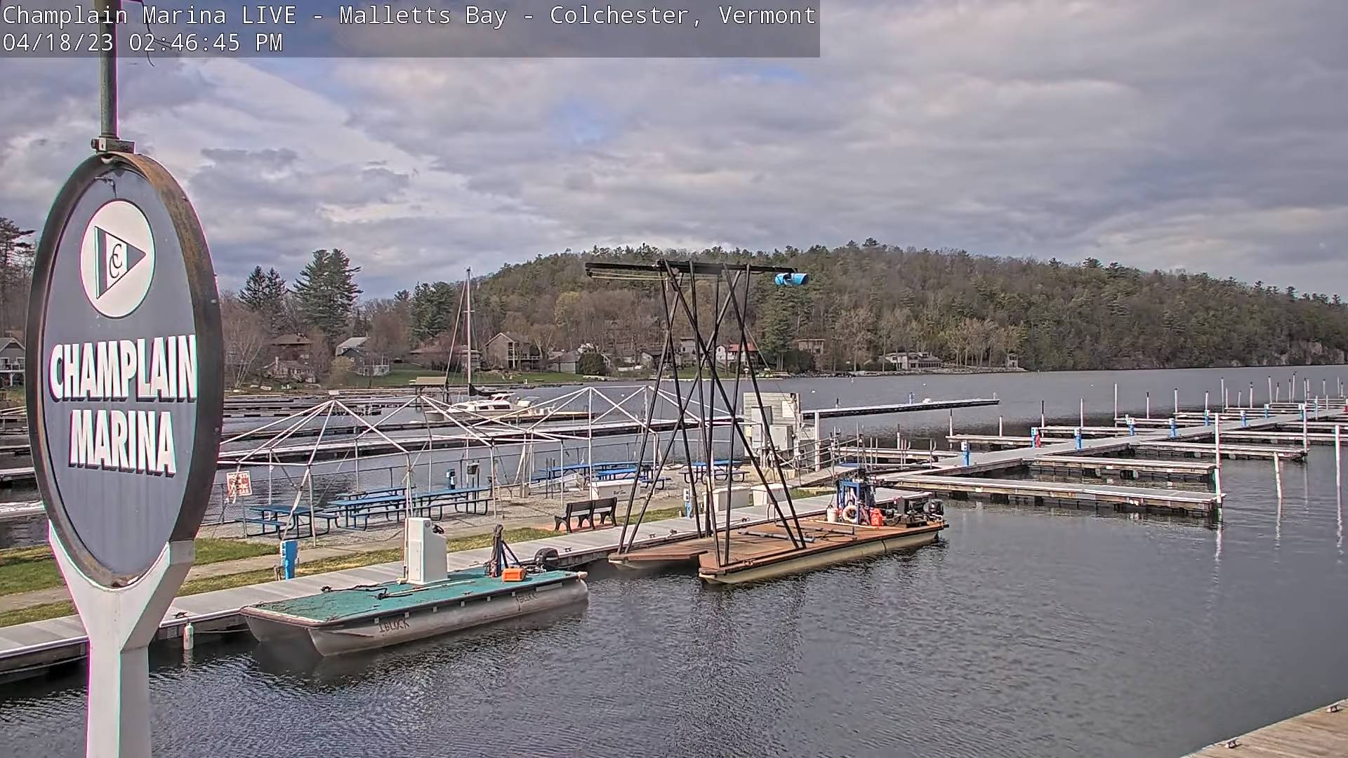
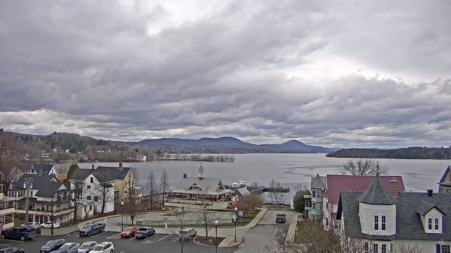
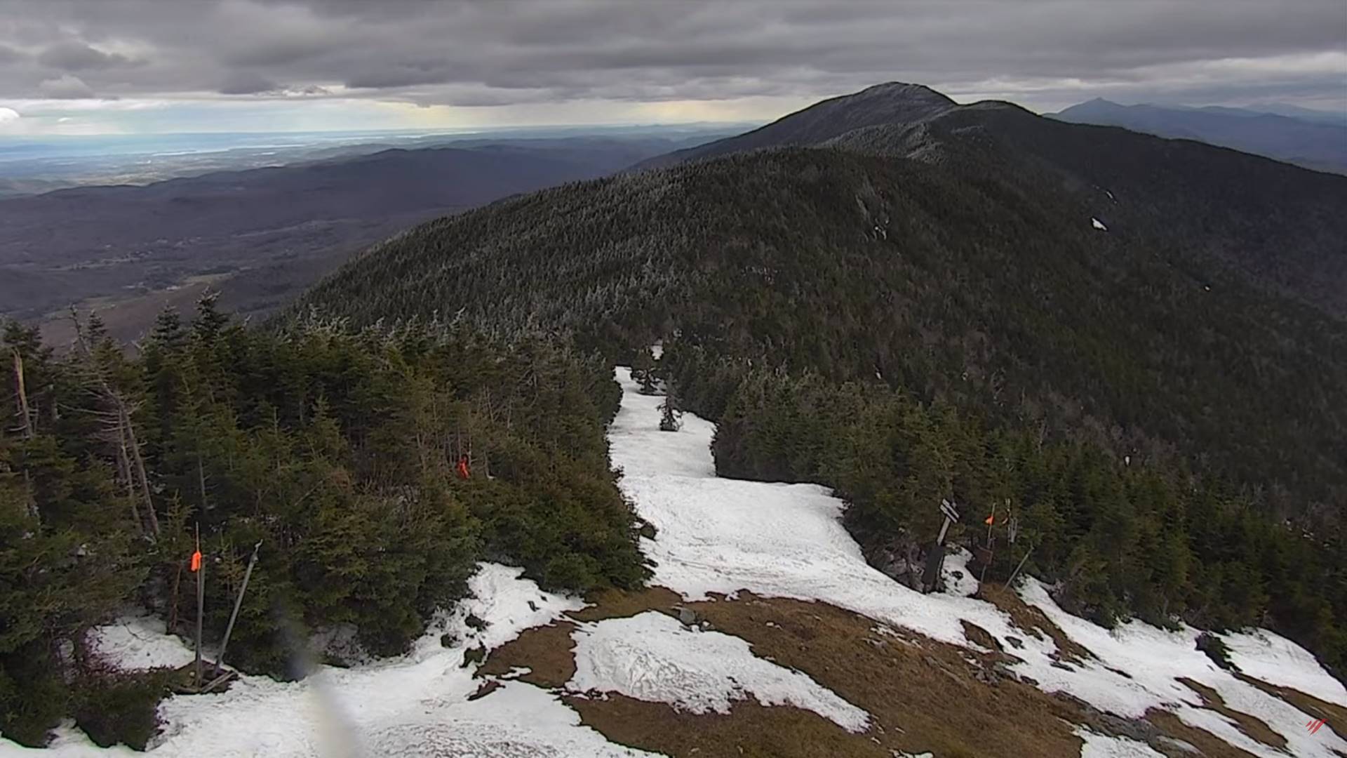
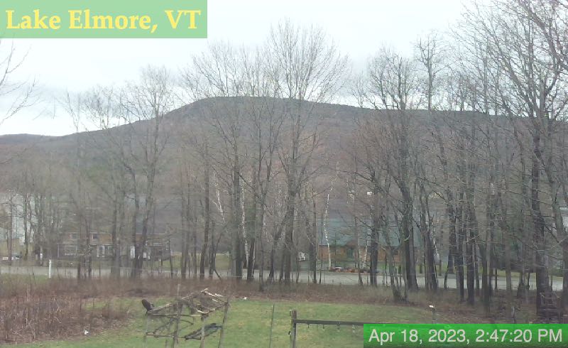
TONIGHT: Variably cloudy. Widely scattered wet snow flurries and valley sprinkles near the mountains. A low 30 to 35. Light southwest winds.
TOMORROW: Mostly cloudy. A few wet snow flurries or sprinkles higher terrain. A high low to mid 40s. West to northwest winds 10 to 15 mph.
WEDNESDAY NIGHT: Partly cloudy. A low around 30. Light northwest winds.
THURSDAY: Sunshine filtered thru high cloudiness. A high in the mid-50s. Northwest winds 10 mph.
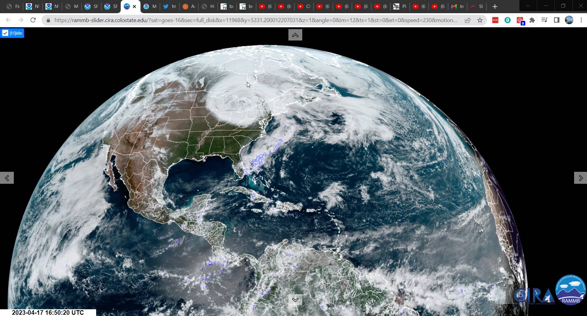
Looking further ahead
THURSDAY NIGHT: Cloudy periods. Chance for a few evening showers northern area. A low in the mid-30s
FRIDAY: Filtered sunshine thru high clouds thickening up late. Mild. A high 70 to 75.
SATURDAY: High overcast with hints of sunshine. A low 40 to 45. A high 55 to 60.
SUNDAY: Gray skies. Blustery to windy. Rising chance for showers, possibly moderate at times. A low in the low to mid 40s. A high mid to upper 50s.
Average lows 32 to 35. Average highs mid-50s to near 60.
Start of Meteorological summer June the 6th.
RH/4-18 forecast][end]