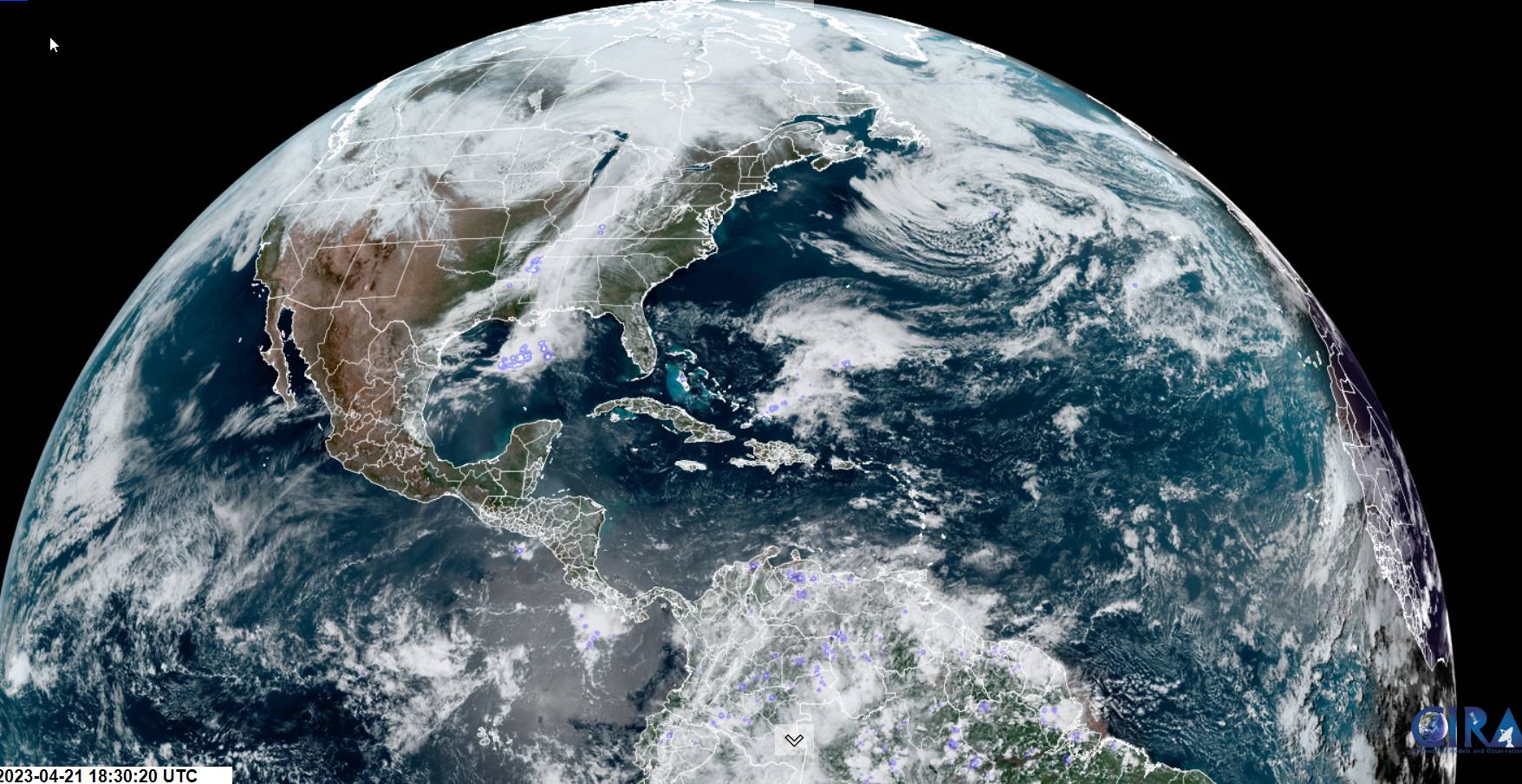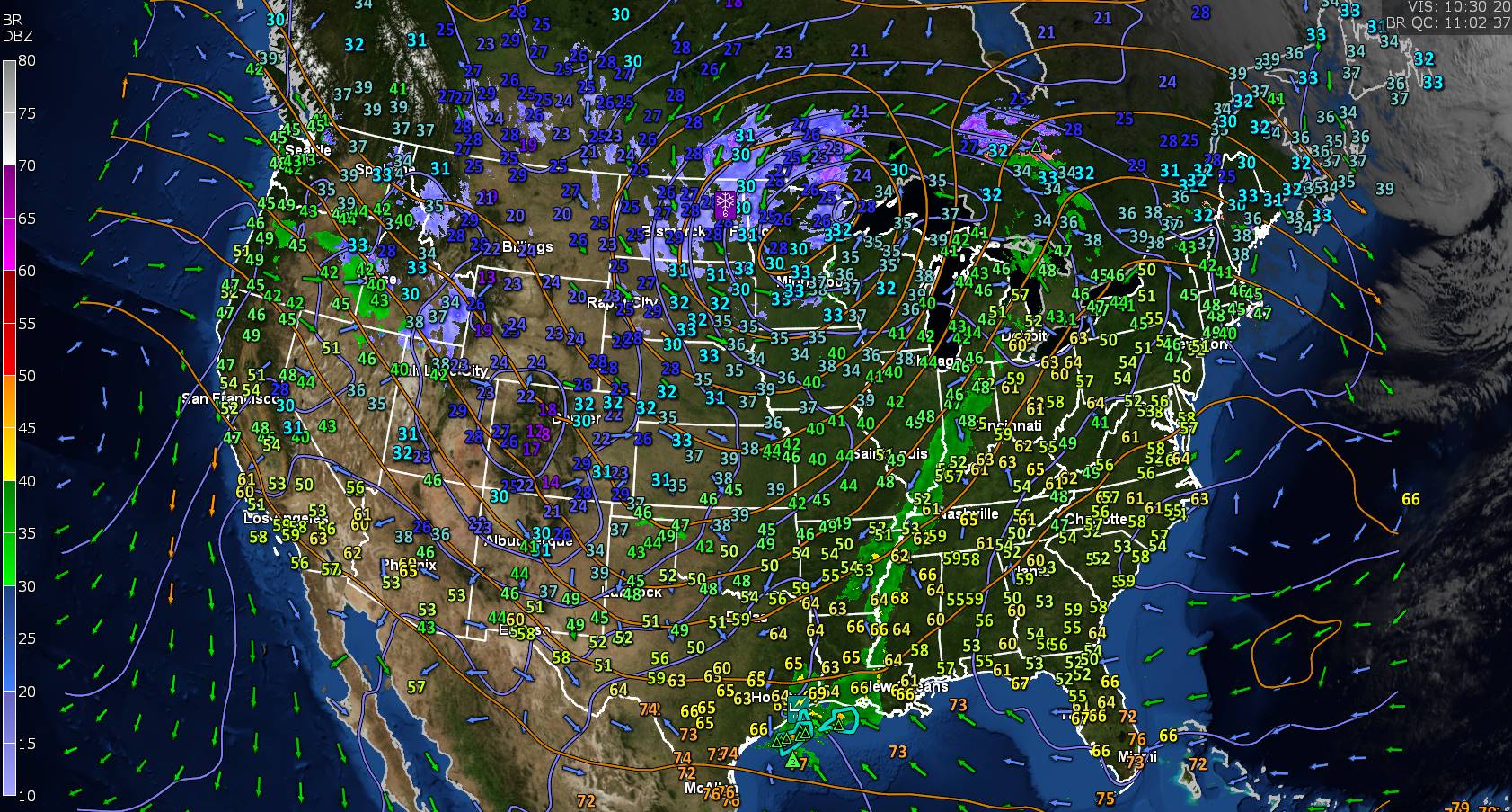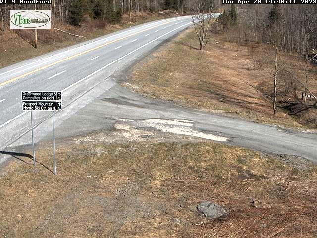
TONIGHT: Scattered evening showers with mountain snow flakes, then partly cloudy with lots of valley fog and isolated pockets of frost. A low 32 to 35. Light east winds.
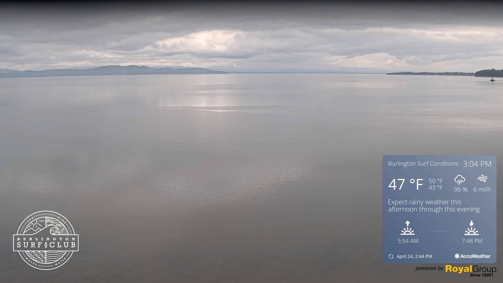
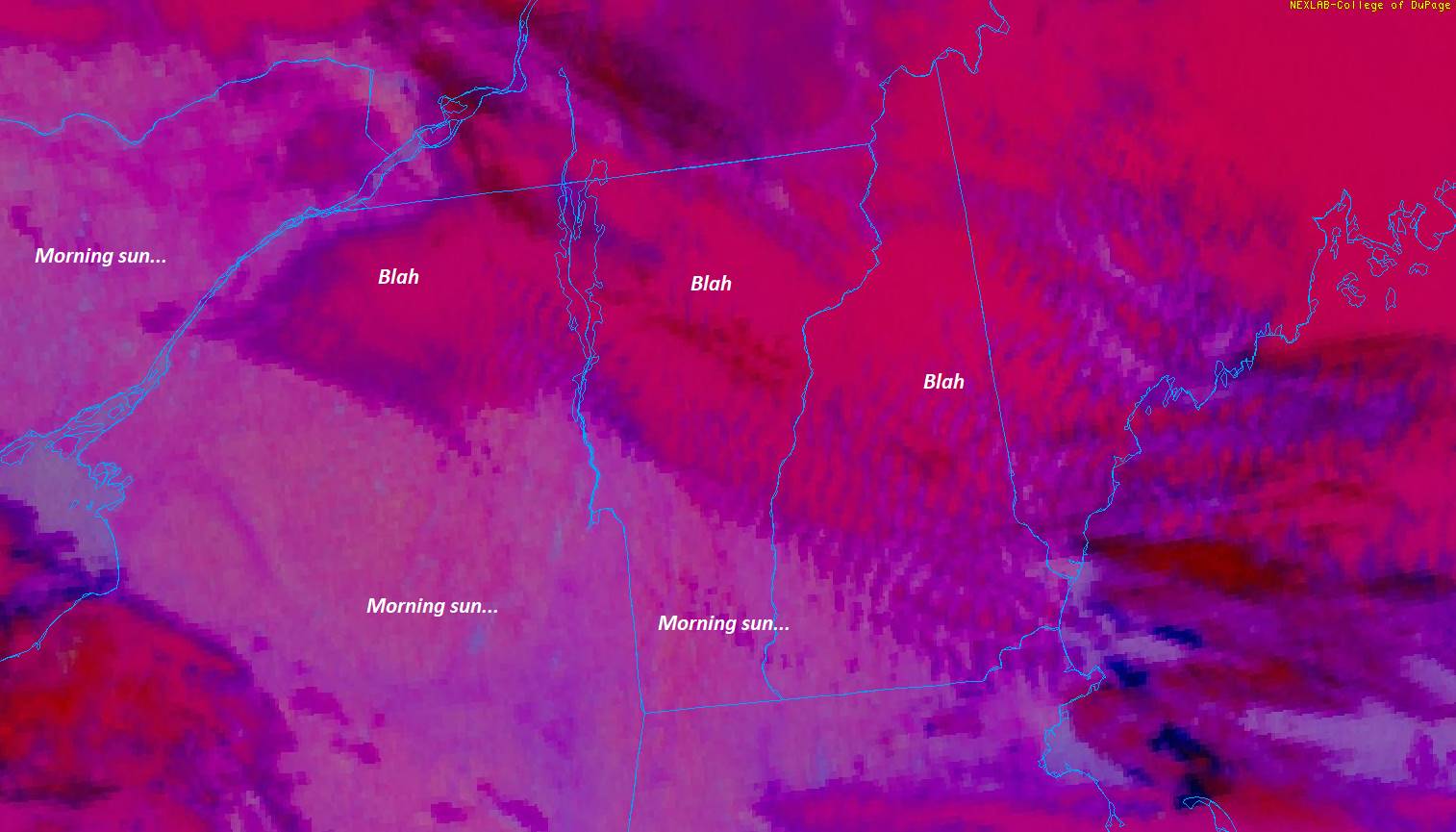
TOMORROW: Periods of morning sun with patchy valley fog. More clouds in the afternoon with showers becoming likely. A high around 55. Light south winds.
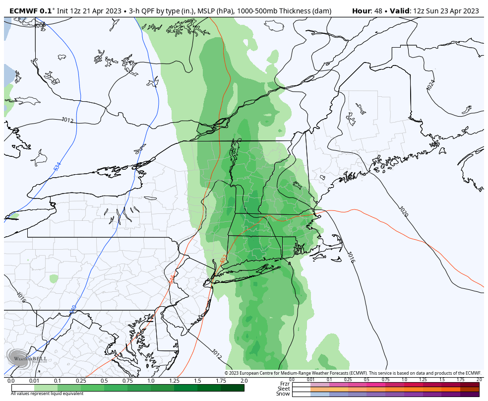
WEDNESDAY NIGHT: Mostly cloudy, damp with areas of fog. Showers likely mixed with wet snow high terrain. A low mid-30s. Little wind.
THURSDAY: Variable cloudiness with intervals of sun especially in the afternoon. Scattered showers more numerous near the mountains. A high near 55. Light southeast breeze.
Looking further ahead
THURSDAY NIGHT: Mostly clear. A morning low 32 to 35 with isolated frost possible.
FRIDAY: Pick of the week. Sunshine with some high cloudiness and pleasantly warmer. A high 60 to 65.
SATURDAY: Gray. A decent chance for showers some moderate. A low in the upper 30s. A high around 60.
SUNDAY: Lots of clouds. Maybe a sprinkle. A low around 40. A high in the upper 50s.
Average lows ranging thru the 30s. Average highs upper 50s to lower 60s.
Start of Meteorological summer June the 6th.
RH/4-25 forecast][end]