Updated Tuesday Evening Forecast — May 9th, 2023

TONIGHT: Clear and partially moonlit. A low 30 to 35 with areas of frost. Little wind.

TOMORROW: Sunshine mixed with some afternoon clouds. A high mid-60s. Northwest breeze 10 mph.

WEDNESDAY NIGHT: A few early evening clouds, then clear & partially moonlit. A low in the mid-40s. Light west winds.

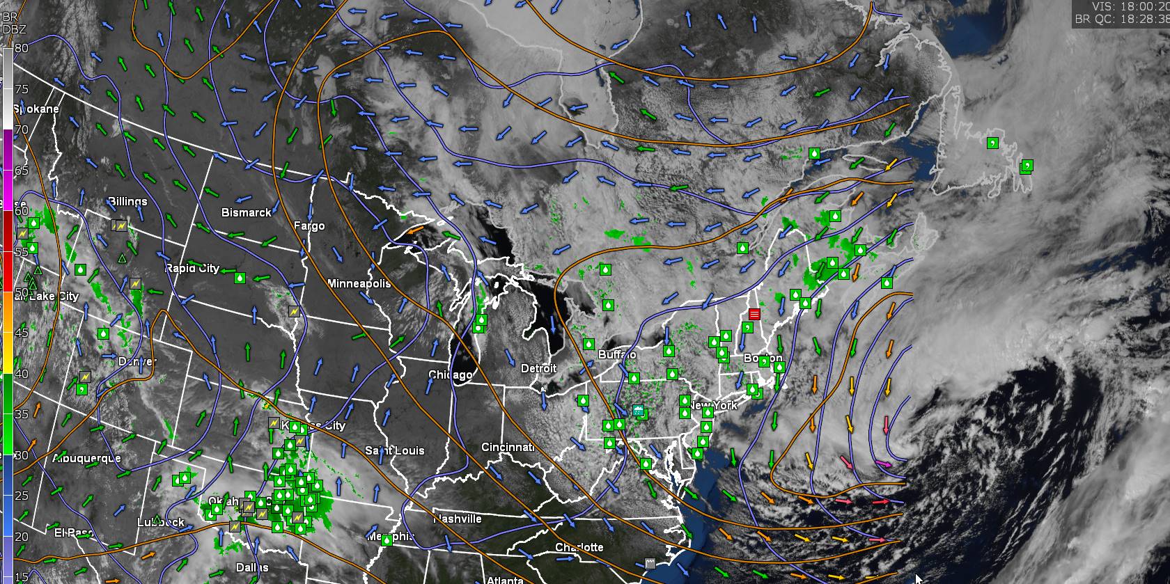
THURSDAY: Morning sunshine then partly sunny in the afternoon. Chance for a few afternoon showers & thunderstorms especially Champlain Valley and southern Vermont. A high 70 to 75. Northwest breeze 10 mph.

Looking further ahead

THURSDAY NIGHT: Fair with high cloudiness, thickening up some later on. A low in the upper 40s.

FRIDAY: Clouds mixing with intervals of sun. Widely scattered afternoon shower & thunderstorms. A high near 75.

SATURDAY: Filtered sunshine thru high cloudiness. A low around 50. A high in the mid-60s.

SUNDAY: Filtered sunshine. A low 35 to 40. A high 60 to 65.

Average lows ranging upper 30s to mid-40s. Average highs low to mid 60s

Start of Meteorological summer June the 6th.

RH/5-9 forecast][end]

Updated Tuesday morning Forecast — May 9th, 2023

TODAY: Lots of sunshine with a few afternoon clouds. A high mid to upper 50s. North to northwest winds 10 mph.

TONIGHT: Clear and partially moonlit. A low 30 to 35 with areas of frost likely. Little wind.

WEDNESDAY: Sunshine mixed with some afternoon clouds. A high around 65. Northwest breeze 10 mph.

Looking further ahead

WEDNESDAY NIGHT: A few early evening clouds, then clear & partially moonlit. A low in the mid-40s.

THURSDAY: Morning sunshine then partly sunny in the afternoon. An isolated shower southern areas. A high

70 to 75.

FRIDAY: Partly sunny. Chance for passing showers and thunderstorms. A low 40 to 45. A high reaching the mid-70s.

SATURDAY: Filtered sunshine thru high cloudiness. A low in the upper 40s. A high around 65.

SUNDAY: Filtered sunshine. A low in the mid to upper 30s. A high 60 to 65.

Average lows ranging upper 30s to mid-40s. Average highs low to mid 60s

Start of Meteorological summer June the 6th.

RH/5-9 forecast][end]

Updated Monday Evening Forecast — May 8th, 2023

TONIGHT: Clear & moonlit. A low in the low to mid-30s with a scattered frost. Light north winds.

TOMORROW: Sunny, with a few afternoon clouds. A high in the upper 50s. North to northwest winds 10 mph.

TUESDAY NIGHT: Clear and partially moonlit. A low 32 to 35 with areas of frost. Little wind.

WEDNESDAY: Sunshine mixed with some afternoon clouds. A high near 65. Northwest breeze 10 mph.

Looking further ahead

WEDNESDAY NIGHT: Clear & partially moonlit. A low 40 to 45.

THURSDAY: Lots of sunshine with a few high clouds. A high in the lower 70s.

FRIDAY: Partly sunny. Chance for passing showers and thunderstorms. A low 40 to 45. A high reaching the mid-70s.

SATURDAY: Filtered sunshine thru high cloudiness. A low 45 to 50. A high near 65.

SUNDAY: Hints of sunshine thru high cloudiness. A low in the mid to upper 30s. A high upper 50s.

Average lows ranging upper 30s to mid-40s. Average highs low to mid 60s

Start of Meteorological summer June the 6th.

RH/5-8 forecast][end]

Updated Monday morning Forecast — May 8th, 2023

TODAY: Sunny. A high in the low 60s. Northwest winds 10 to 20 mph.

TONIGHT: Clear & moonlit. A low in the low to mid-30s with a scattered frost. Light north winds.

TUESDAY: Sunny, with a few afternoon clouds. A high in the upper 50s to near 60. North to northwest winds 10 mph.

Looking further ahead

TUESDAY NIGHT: Clear and moonlit. A low in the low to mid 30s with scattered frost.

WEDNESDAY: Mostly sunny. A high near 65.

THURSDAY: Lots of sunshine with a few high clouds. A low in the low 40s. A high around 70.

FRIDAY: Partly sunny. Chance for passing showers and thunderstorms. A low 40 to 45. A high reaching the mid-70s.

SATURDAY: Filtered sunshine thru high cloudiness. A low 45 to 50. A high near 65.

SUNDAY: Hints of sunshine thru high cloudiness. A low in the mid to upper 30s. A high upper 50s.

Average lows ranging upper 30s to mid-40s. Average highs low to mid 60s

Start of Meteorological summer June the 6th.

RH/5-8 forecast][end]

Updated Friday Evening Forecast — May 5th, 2023

TONIGHT: Mostly clear with a few high clouds. Patchy valley fog overnight. A low 35 to 40. Light southeast winds.

TOMORROW: Patchy morning fog then partly sunny. A high reaching the mid-60s. Northwest winds 10 to 15 mph.

SATURDAY NIGHT: Mostly clear. Patchy valley fog. A low 40 to 45. Light northwest winds.

SUNDAY: More clouds than sunshine. A high near 65. Northwest breeze 10 mph.

Looking further ahead

SUNDAY NIGHT: Variably cloudy, then clearing overnight. A low near 45.

MONDAY: Mostly sunny. A high near 60.

TUESDAY: Patchy valley fog then partly to mostly sunny. A low 40 to 45. A high lower 60s.

WEDNESDAY: Mostly sunny. A low 35 to 40. A high near 65.

Average lows ranging mid-30s to low 40s. Average highs 60 to 65.

Start of Meteorological summer June the 6th.

RH/5-5 forecast][end]

Updated Friday Morning Forecast — May 5th, 2023

TODAY: Lots of clouds, giving way to intervals of sunshine later on. Widely scattered mainly mountain sprinkles. Still cool, a high mid to upper 50s. North to northeast winds 10 mph.

TONIGHT: Mostly clear with a few high clouds. Patchy valley fog overnight. A low mid to upper 30s. Light southeast winds.

SATURDAY: Patchy morning fog then partly sunny. A high in the mid-60s. Northwest winds 10 to 15 mph.

Looking further ahead

SATURDAY NIGHT: Mostly clear. Patchy valley fog. A low in the low to mid 40s.

SUNDAY: Mixed clouds and sun. A high near 65.

MONDAY: Lots of sunshine with a few high clouds. A low 40 to 45. A high in the lower 60s.

TUESDAY: Patchy valley fog then filtered sunshine thru high clouds. A low upper 30s. A high around 60.

WEDNESDAY: Mostly sunny. A low 35 to 40. A high 60 to 65.

Average lows ranging mid-30s to low 40s. Average highs 60 to 65.

Start of Meteorological summer June the 6th.

RH/5-3 forecast][end]

Updated Thursday Night Forecast — May 4th, 2023

TONIGHT: Becoming variably cloudy. Considerable valley fog. A low in the mid-30s. Light northeast winds.

TOMORROW: Considerable clouds with a few breaks later in the afternoon. Patchy drizzle/sprinkles possible eastern slopes central and southern Greens. Still cool’ish, a high of 55. North to northeast winds 10 mph.

FRIDAY NIGHT: Clear. Patchy valley fog overnight. A low mid to upper 30s. Light southeast winds.

SATURDAY: Patchy valley fog burns off to periods of sun, then more clouds in the afternoon. A high 60 to 65. Northwest winds 10 to 15 mph.

Looking further ahead

SATURDAY NIGHT: Clear skies. Patchy valley fog. A low upper 30s.

SUNDAY: Morning valley fog then sunny. A high 60 to 65.

MONDAY: Patchy valley fog, then sunny. A low near 40. A high 60 to 65.

TUESDAY: Patchy valley fog then filtered sunshine thru high clouds. A low upper 30s. A high around 65.

WEDNESDAY: Variable clouds. Slight chance for a shower. A low in the 40s. A high in the upper 50s.

Average lows ranging mid-30s to low 40s. Average highs 60 to 65.

Start of Meteorological summer June the 6th.

RH/5-3 forecast][end]

Updated Thursday Morning Forecast — May 4th, 2023

TODAY: Mainly gray, with a couple breaks of sun. Isolated to widely scattered hit and miss showers. Warming trend begins. A high in the lower 50s. Light north to northeast winds.

TONIGHT: Becoming partly cloudy. Patchy dense valley fog. A low in the mid-30s. Light northeast winds.

FRIDAY: Considerable low clouds with a few breaks later in the afternoon. Patchy drizzle or sprinkles possible especially eastern slopes central and southern Greens. A high around 55. North to northeast winds 10 mph.

Looking further ahead

FRIDAY NIGHT: Clear. Considerable dense valley fog overnight. A low mid to upper 30s.

SATURDAY: Partly sunny before more clouds build up in the afternoon. A high 60 to 65.

SUNDAY: Patchy valley fog, then mostly sunny. A low upper 30s. A high 60 to 65.

MONDAY: Patchy valley fog, then sunny. A low near 40. A high 60 to 65.

TUE

SDAY: Patchy valley fog then filtered sunshine thru high clouds. A low upper 30s. A high around 65.

WEDNESDAY: Variable clouds. Slight chance for a shower. A low in the 40s. A high in the upper 50s.

Average lows ranging mid-30s to low 40s. Average highs 60 to 65.

Start of Meteorological summer June the 6th.

RH/5-3 forecast][end]

Updated Wednesday Evening Forecast — May 3rd, 2023

TONIGHT: Considerable clouds. Scattered showers mixed with wet snow flakes mountain summits, becoming more isolated overnight. A low in the upper 30s. Light northeast winds.

TOMORROW: Mainly cloudy with a couple breaks of sun. Isolated hit and miss showers. Warming trend begins. A high in the lower 50s. Light north to northeast winds.

THURSDAY NIGHT: Gradual clearing. Patchy dense valley fog. A low mid to upper 30s. Light northeast winds.

FRIDAY: Considerable low clouds patchy drizzle or sprinkles possible. Elsewhere dry. A high around 55. North to northeast winds 10 mph.

Looking further ahead

FRIDAY NIGHT: Clear. Considerable dense valley fog overnight. A low mid to upper 30s.

SATURDAY: Partly sunny before more clouds build up in the afternoon. A high 60 to 65.

SUNDAY: Patchy valley fog, then partly to mostly sunny. A low upper 30s. A high about 65.

MONDAY: Bright sun and blue skies. A low near 40. A high around 65.

TUESDAY: Patchy valley fog then mostly sunny with high cloudiness. A low in the low 40s. A high in the mid-60s.

Average lows ranging mid-30s to low 40s. Average highs 60 to 65.

Start of Meteorological summer June the 6th.

RH/5-3 forecast][end]

Updated Wednesday morning Forecast — May 3rd, 2023

TODAY: Clouds & continued showery with few breaks of sun. A high around 50. Light east winds.

TONIGHT: Considerable clouds. Widely scattered showers mixed with wet snow flakes mountain summits, winding down overnight. A low in the upper 30s. Light northeast winds.

THURSDAY: Mainly cloudy. Isolated to widely scattered shower activity. Gradual day time warming trend begins. A high in the low 50s. Light north to northeast winds.

Looking further ahead

THURSDAY NIGHT: Evening clouds with isolated sprinkles, otherwise partial clearing. Patchy dense valley fog. A low mid to upper 30s.

FRIDAY: Mostly cloudy. Isolated mountain sprinkles. A high around 55.

SATURDAY: Partial morning sun with patchy valley fog, then more clouds than sun. A low mid to upper 30s. A high

60 to 65.

SUNDAY: Patchy valley fog, then partly to mostly sunny. A low around 40. A high about 65.

MONDAY: Patchy valley fog burns off to bright sun and blue skies. A low 40 to 45. A high around 65.

TUESDAY: Patchy valley fog then mostly sunny with high cloudiness. A low in the 40s. A high in the 60s.

Average lows ranging mid-30s to low 40s. Average highs 60 to 65.

Start of Meteorological summer June the 6th.

RH/5-1 forecast][end]