-
- i m a g e 1 0 2
-
- i m a g e 1 0 3
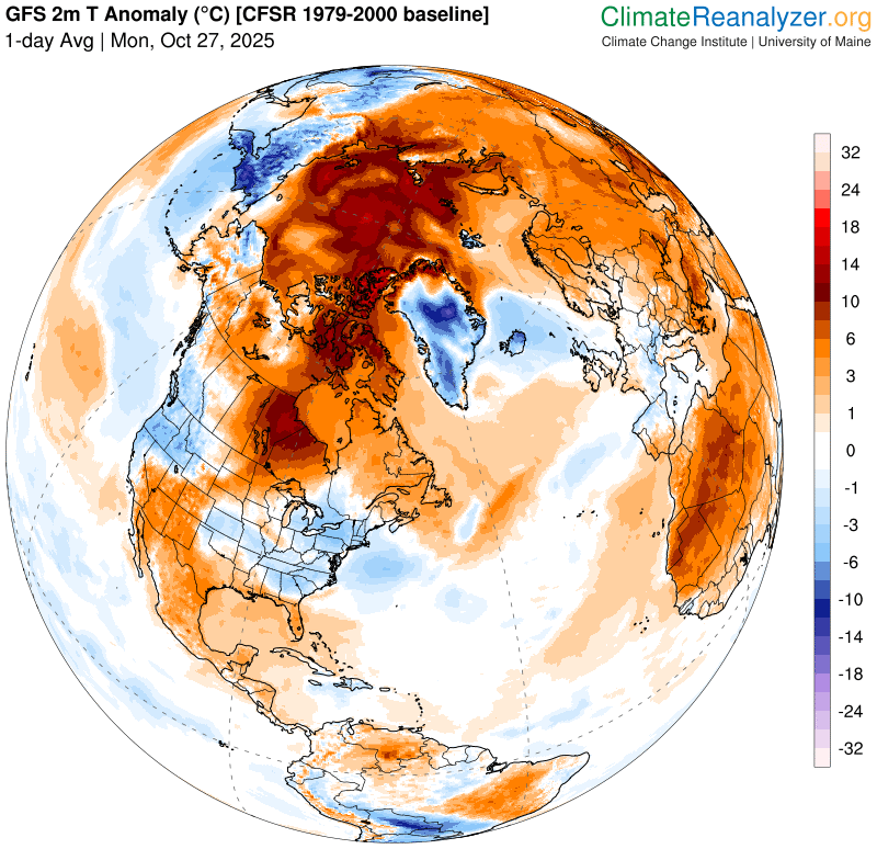
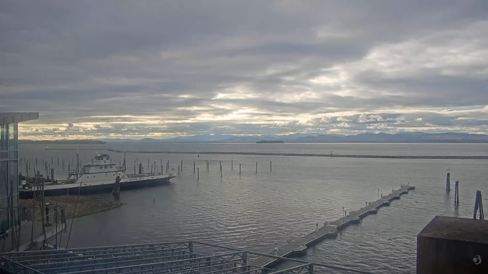
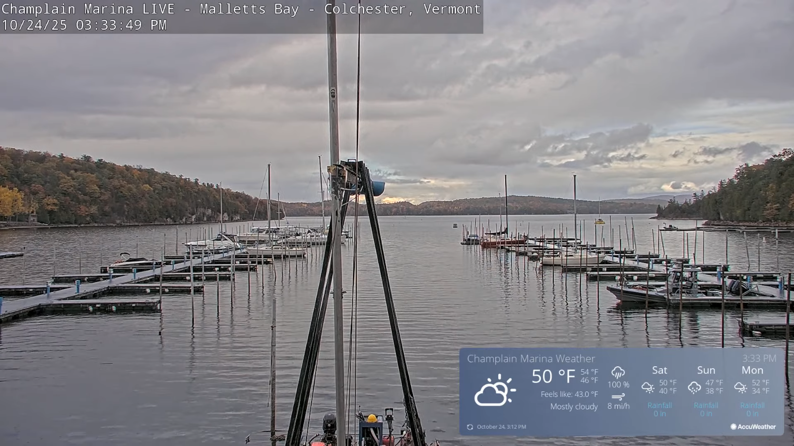
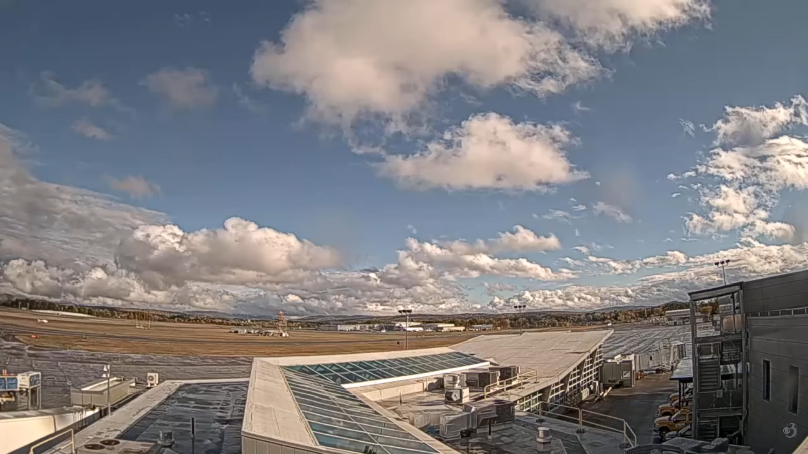
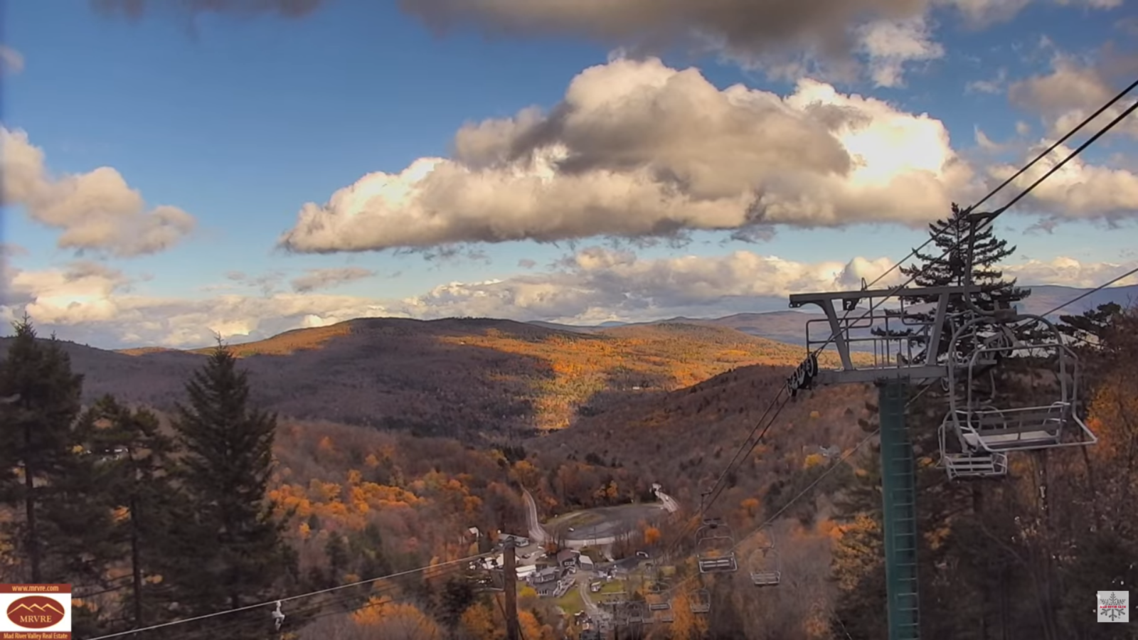
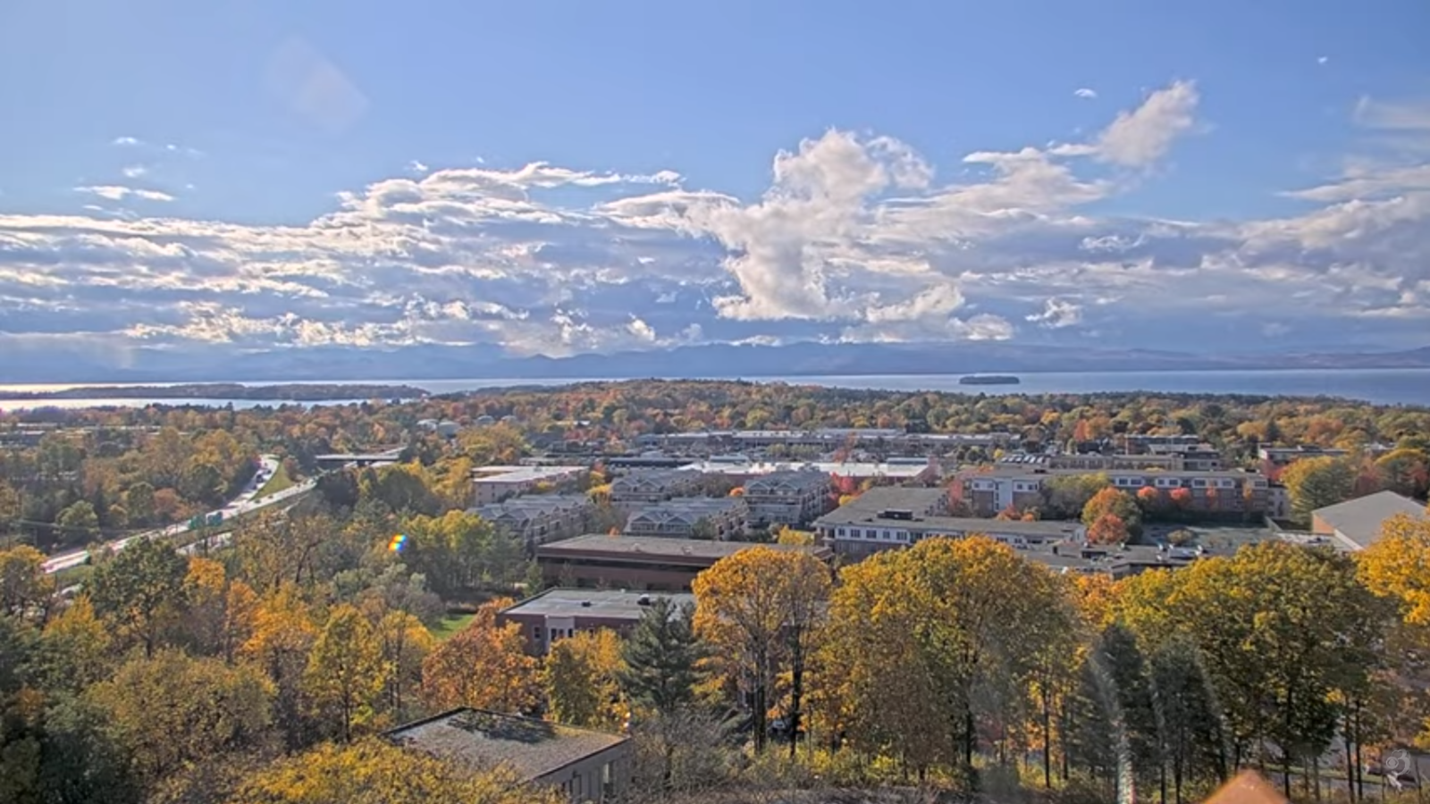
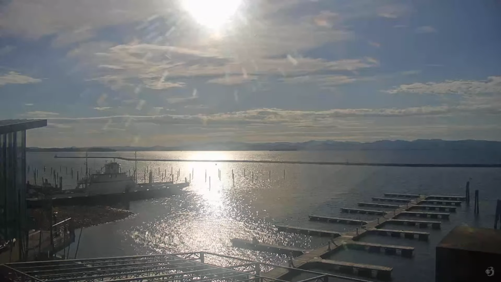
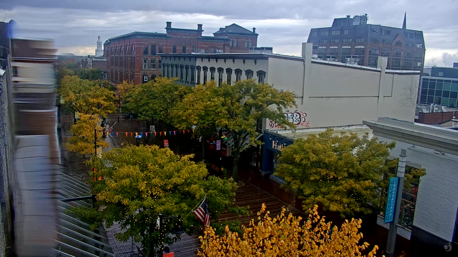
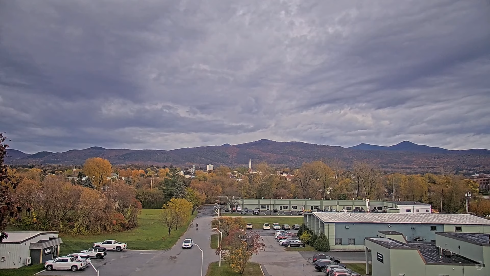
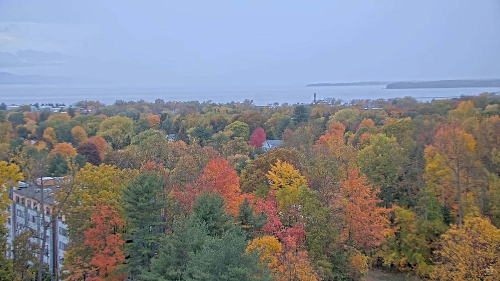
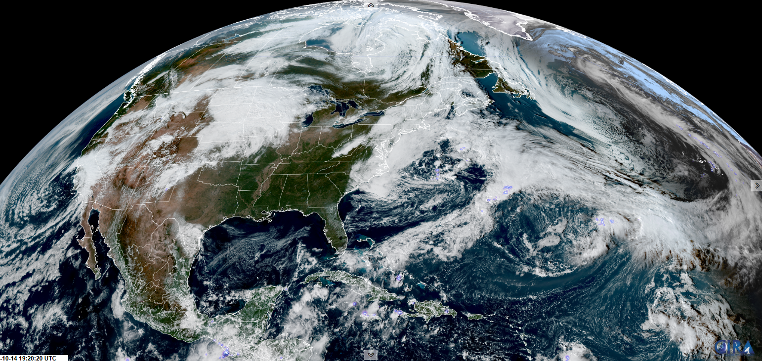
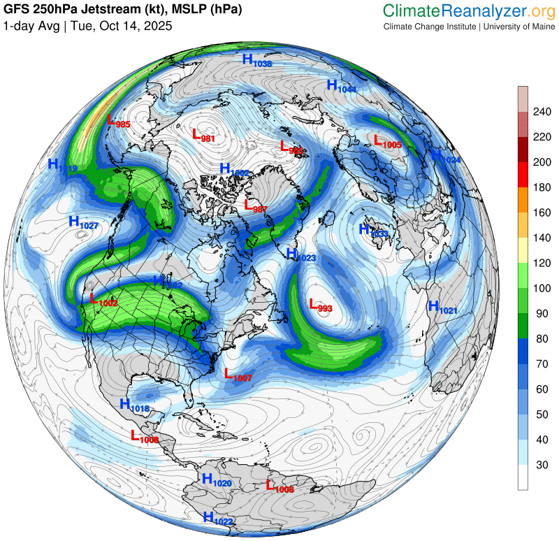
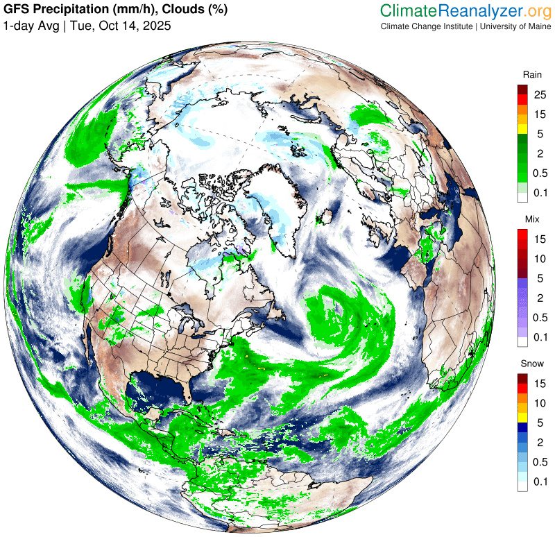
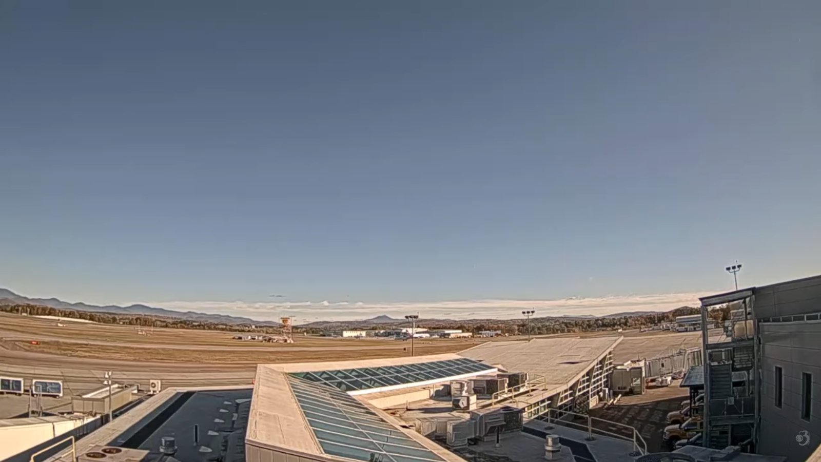
Roger Hill’s Radio Vermont Forecast 3:00 PM TUESDAY 10-28-25
TONIGHT: Mostly clear with some high clouds. A low in the upper 20s around 30. Light northeast winds.
TOMORROW: Lots of sunshine with few high clouds. A high in the low 50s. Light northeast winds.
WEDNESDAY NIGHT: Fair early then thickening clouds. A low around 32. Light southeast winds.

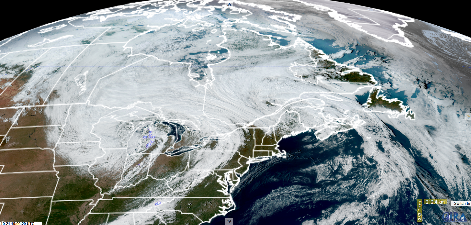
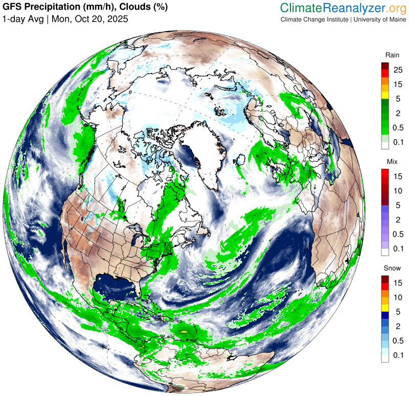
THURSDAY: Mainly cloudy & blustery. Slight chance for late afternoon rain showers. A high 50 to 55. East to southeast winds 10 to 15 mph stronger southern areas.
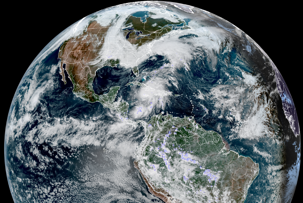
Looking further ahead
THURSDAY NIGHT: Overcast. Good chance for periods of rain, moderate at times. A low in the mid-40s.
FRIDAY Halloween: Unsettled with lots of clouds. Chance for morning rain showers…becoming isolated widely scattered. A high near 55. Blustery southwest winds.
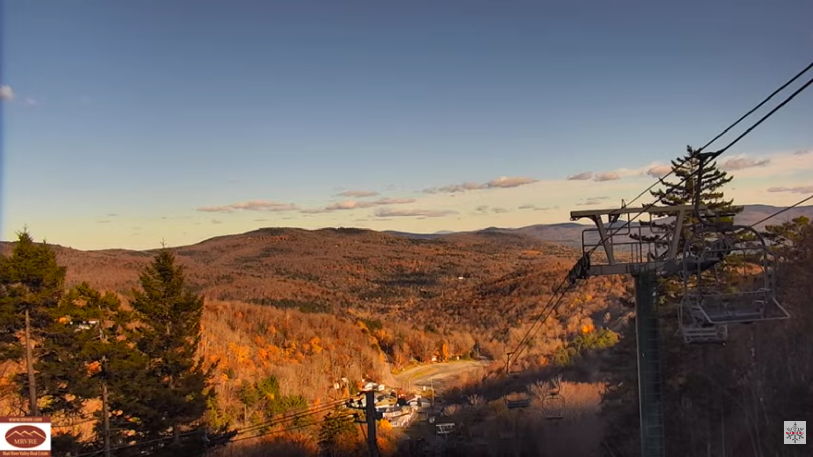
SATURDAY: More clouds than sun. Chance for morning rain showers mixed with wet snow flakes in the hills early. Lows 35 to 40. Highs in the 40s.
Eastern Standard Time (fall back)
SUNDAY: Mixed sun and clouds. Maybe a sprinkle or wet snowflake. Lows near 35. Highs 40 to 45.
Average low: upper 20s to low 30s Average high: upper 40s to mid-50s.
Full Beaver Moon November 5th, at 8:19 AM
Admin: Time off (no forecast) November 17th thru 21st.
Meteorological winter begins December 12th
RH/10-2897/forecast][end] Fox Trot Delta Tango