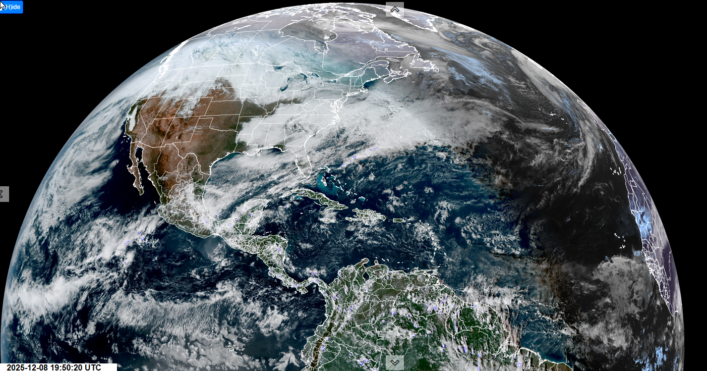
Roger Hill’s Radio Vermont Forecast 3:00 PM MONDAY 12-8-25
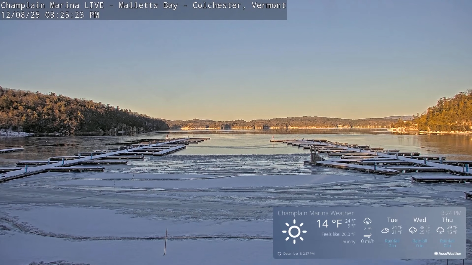
TONIGHT: Clear moonlit and frigid. Temperatures dip to zero to 15 below. Light west winds.
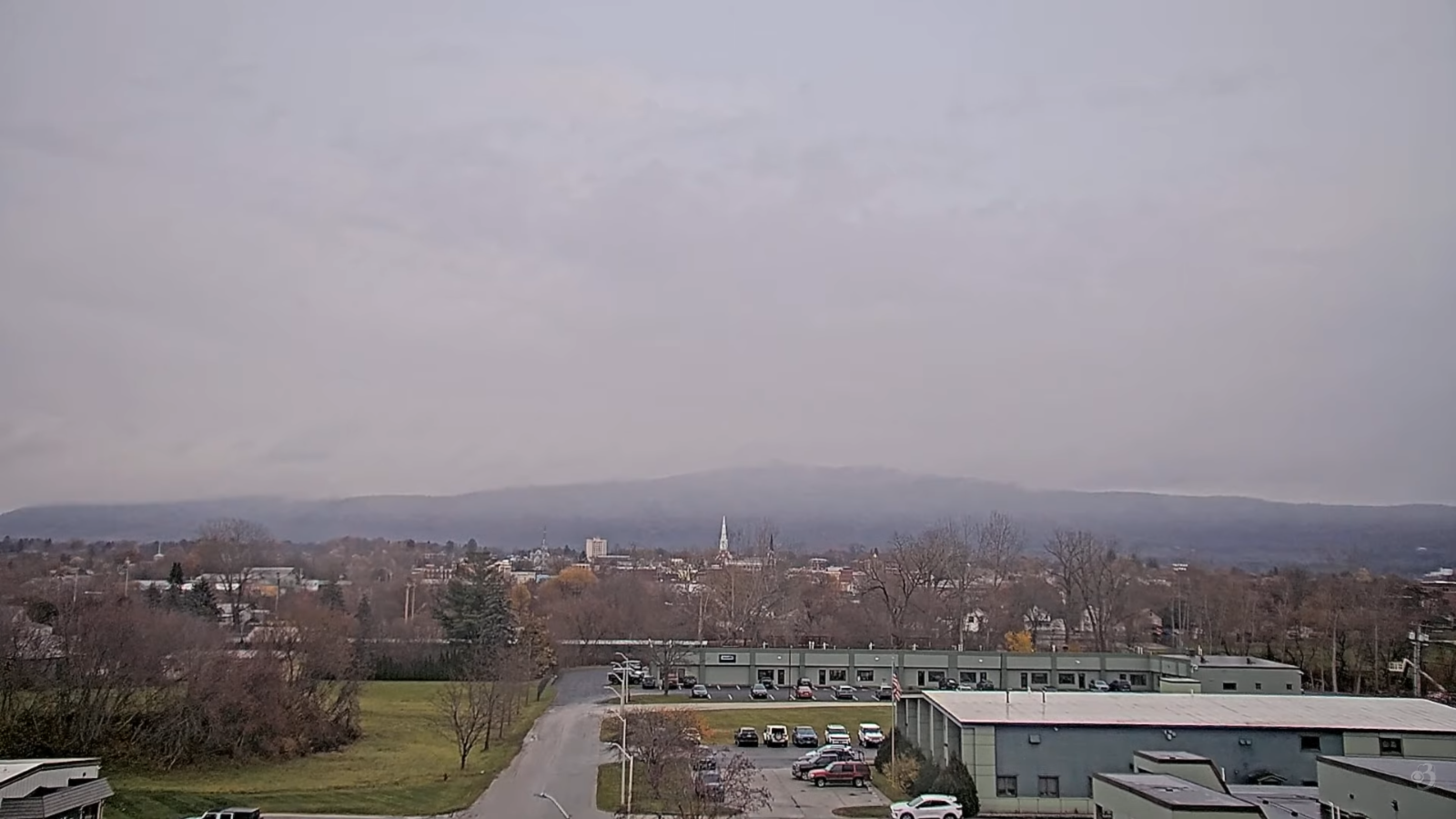
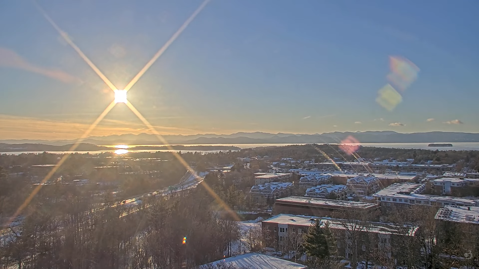
TOMORROW: Morning sun then clouding up. A high upper teens to around 20. Light south winds stronger near Lake Champlain.
TUESDAY NIGHT: Lots of clouds. Scattered snow showers or flurries with light coatings mainly northern areas. A low in the mid-teens. South winds 10 mph, stronger near the lake.
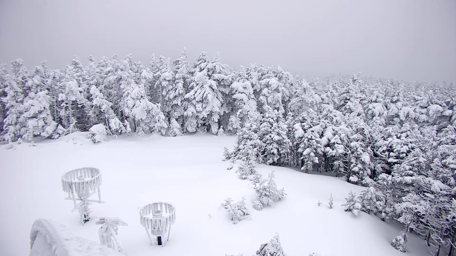
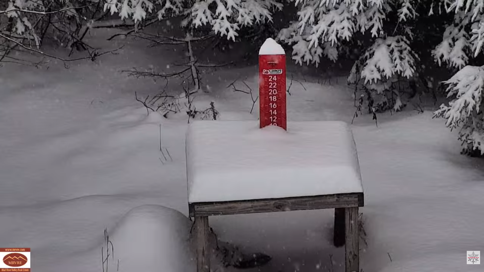
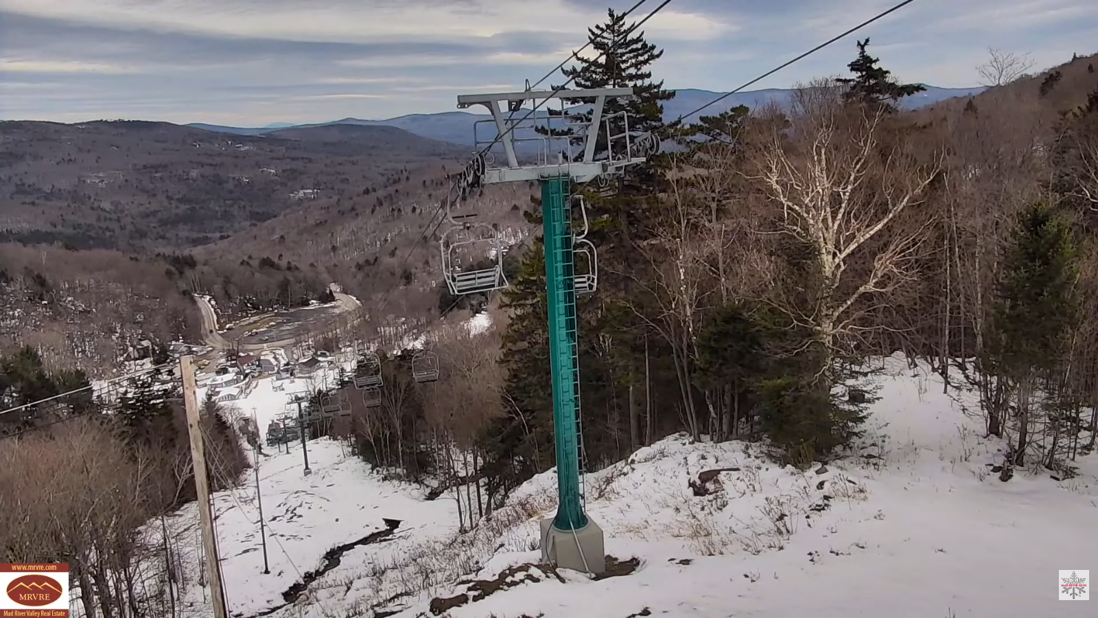
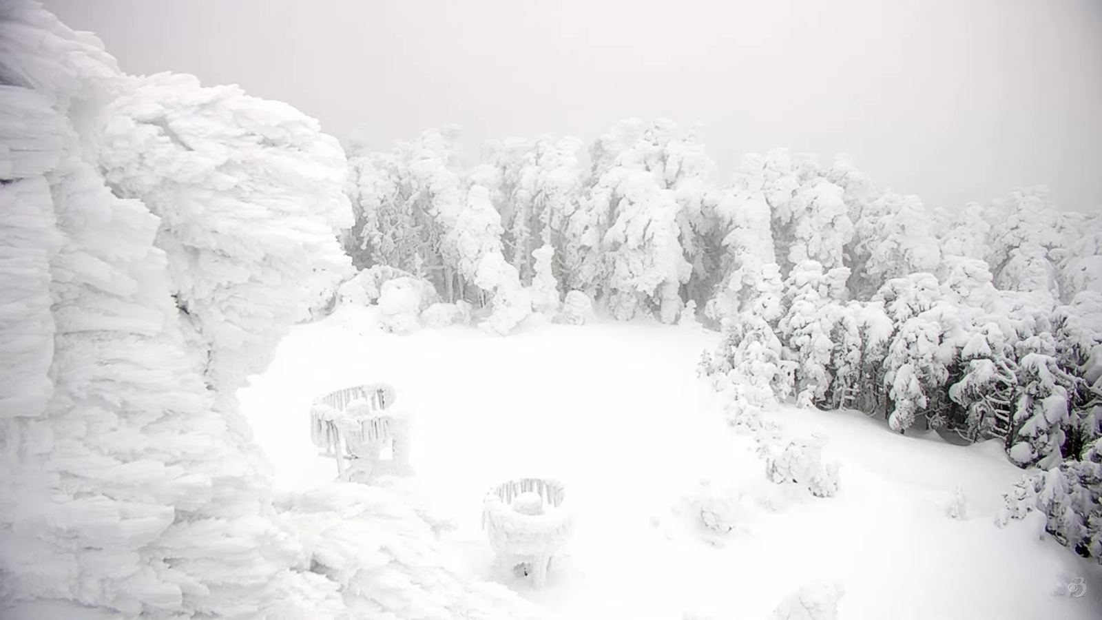
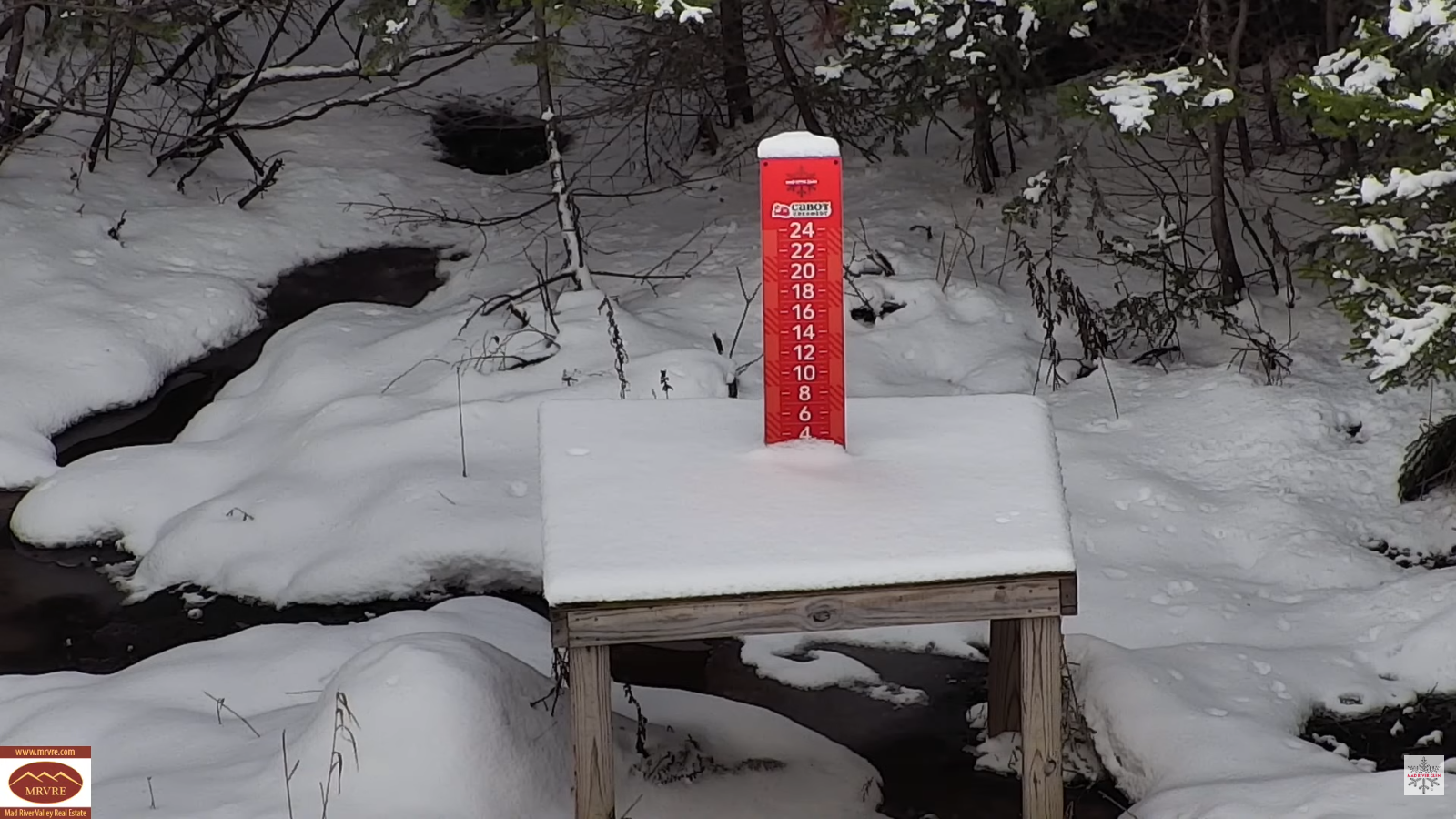
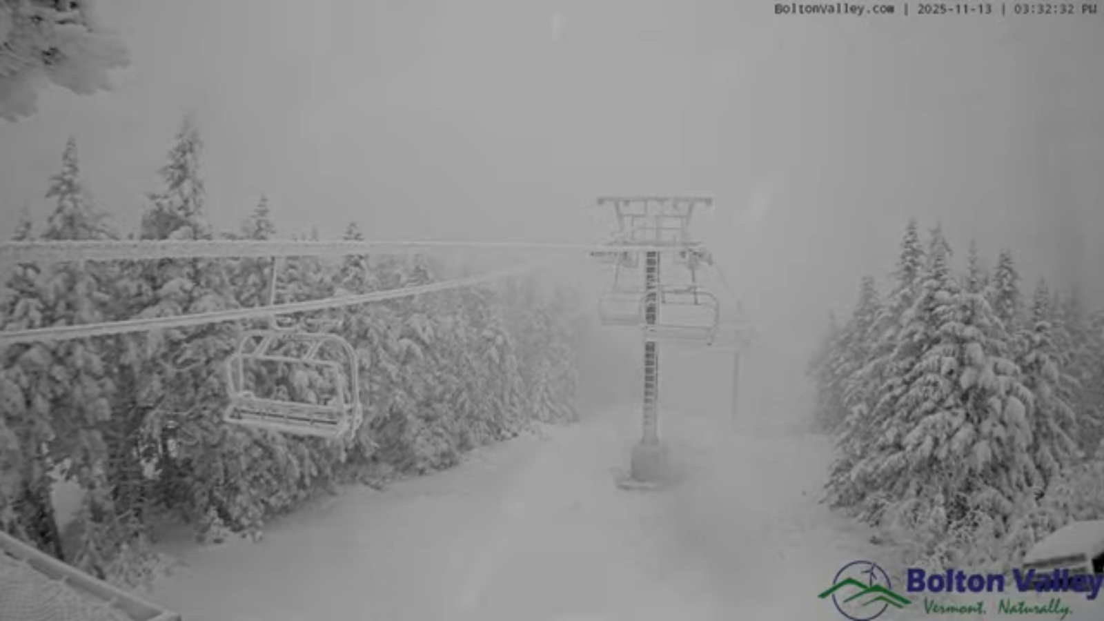
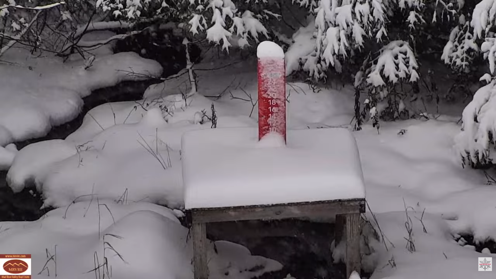
WEDNESDAY: Cloudy. Rising likelihood of wet accumulating snow, moderate at times with slushy travel. About 2 to 4 inches. A late day high 32 to 35. South winds 10 to 15 mph, breezier near the lake.

Looking further ahead
WEDNESDAY NIGHT: Mostly cloudy. Occasional leftover snow showers or flurries. Dusting to an inch. A low mid-20s.
THURSDAY: Clouds with intervals of sunshine. Chance for lingering mountain flurries little accumulation. A high around 25.
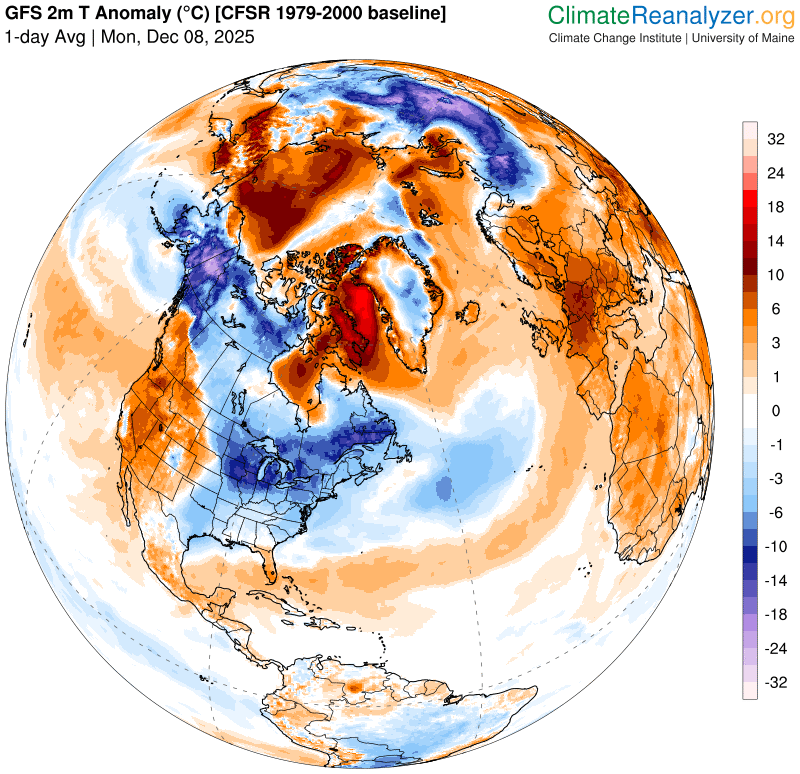
Meteorological winter begins (Coldest 90 days)
FRIDAY: A few flurries exiting early. Otherwise increasing sunshine. Lows 5 to 10 above. Highs around 20.
SATURDAY: Clouds with intervals of sun. Chance for a few flurries western areas, little accumulation. A low near minus 5. Highs mid to upper 20s.
Average low: mid-teens to near 20 Average high: low to mid 30s.
Admin: No Forecast off Wednesday (Medical a few Wednesdays to come into January)
Winter Solstice 3:03 PM Saturday December 21st
RH/12-8/forecast][end] Fox Trot Delta Tango